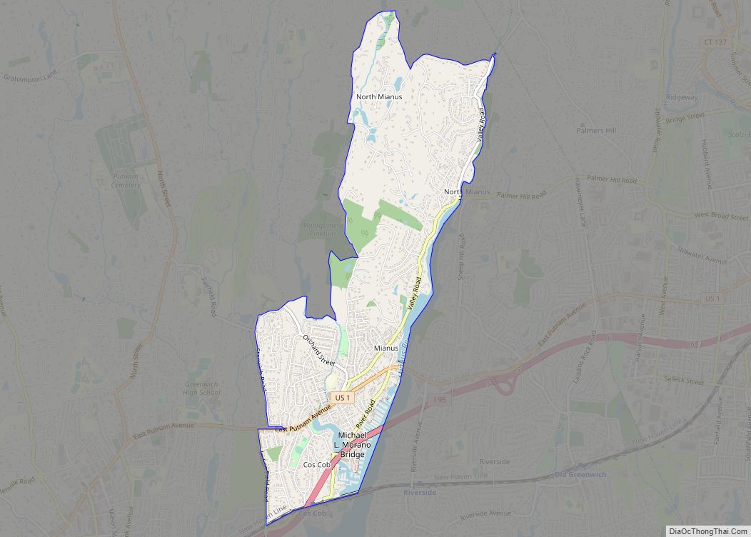
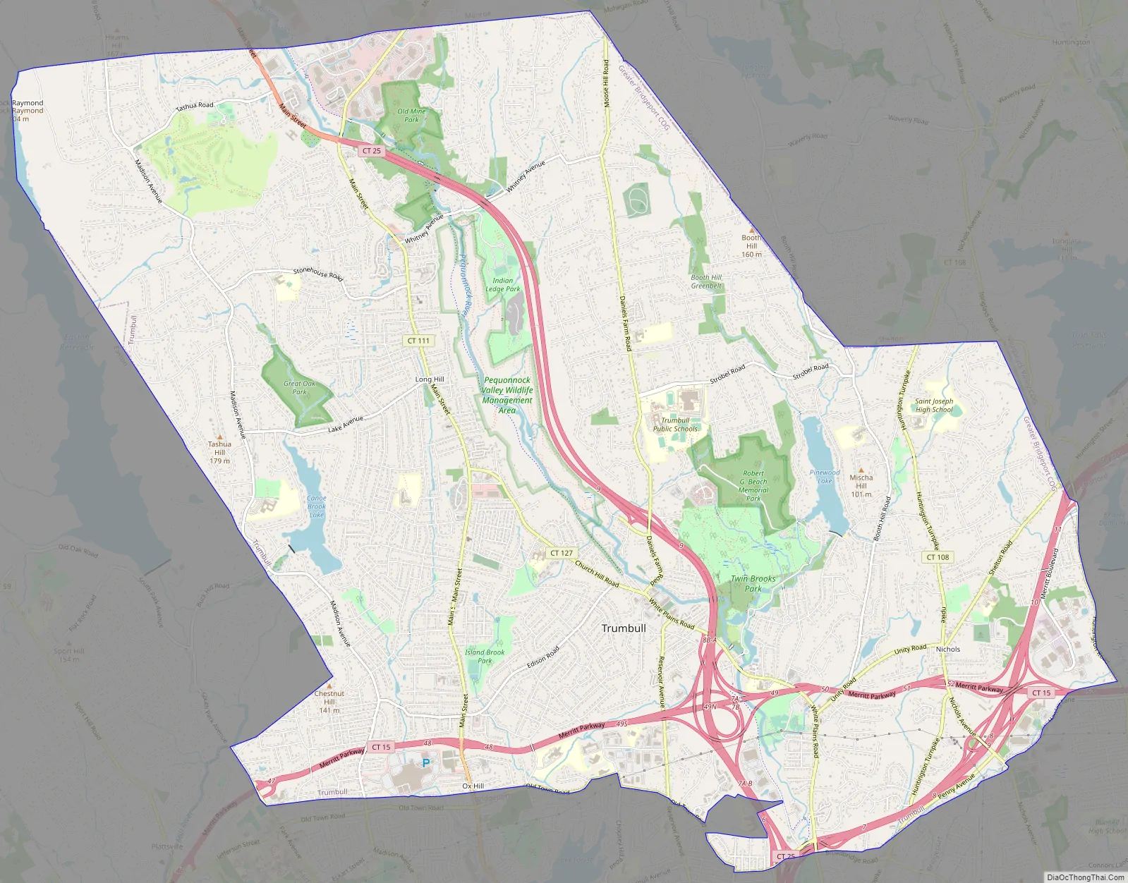
Trumbull Center is a section or neighborhood of the town of Trumbull in Fairfield County, Connecticut in New England. It is considered the center of the town, and was the seat of town government from 1883 through 1957. The Pequonnock River flows through the center in an easterly direction. The main thoroughfare is Connecticut Route 127 (aka Church Hill Road & White Plains Road).
The area was listed as a census-designated place (CDP) prior to the 2020 census.
| Name: | Trumbull CDP |
|---|---|
| LSAD Code: | 57 |
| LSAD Description: | CDP (suffix) |
| State: | Connecticut |
| County: | Fairfield County |
| Elevation: | 35 m (115 ft) |
| Total Area: | 15.04 km² (5.81 sq mi) |
| Land Area: | 14.77 km² (5.70 sq mi) |
| Water Area: | 0.27 km² (0.10 sq mi) |
| ZIP code: | 06611 (Trumbull) |
| Area code: | 203/475 |
| FIPS code: | 0977270 |
| GNISfeature ID: | 2805069 |
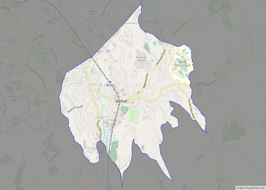
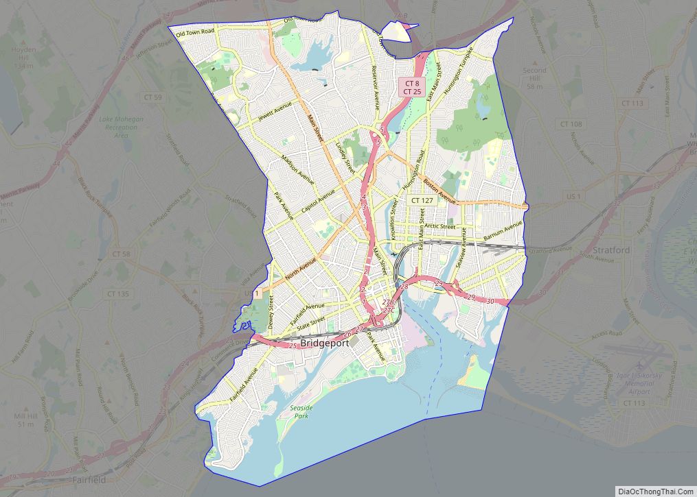
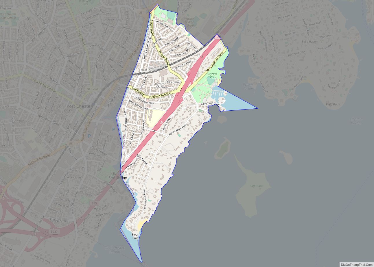
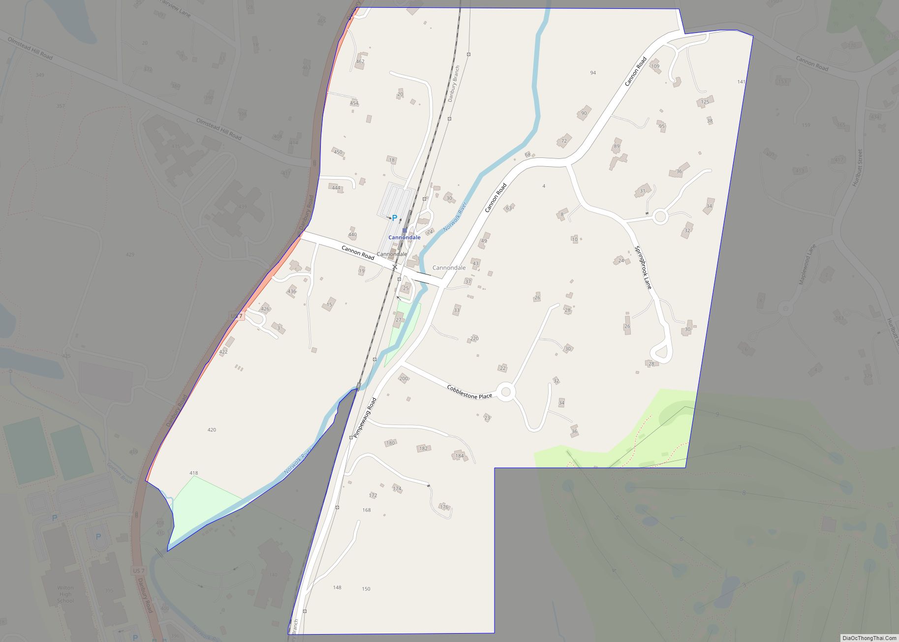
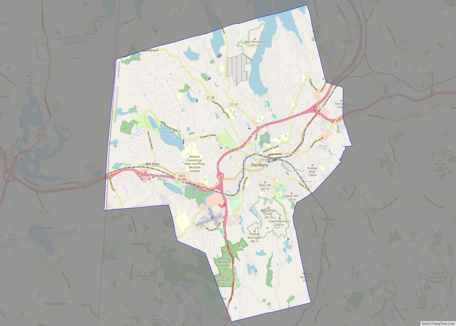
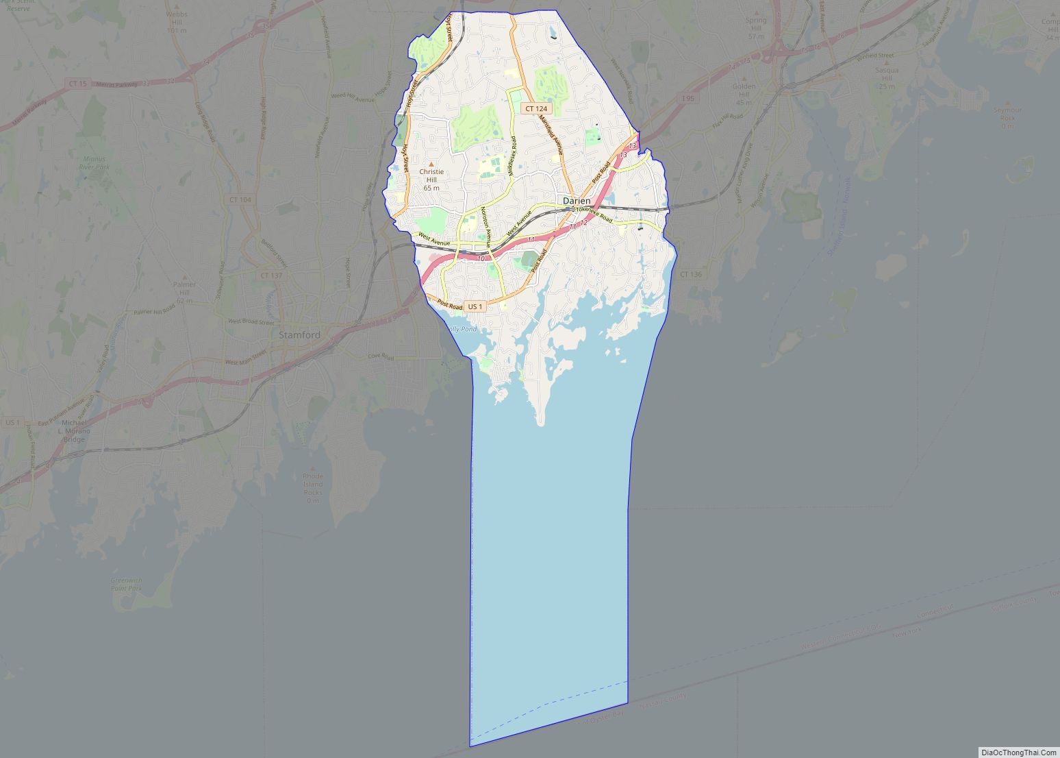
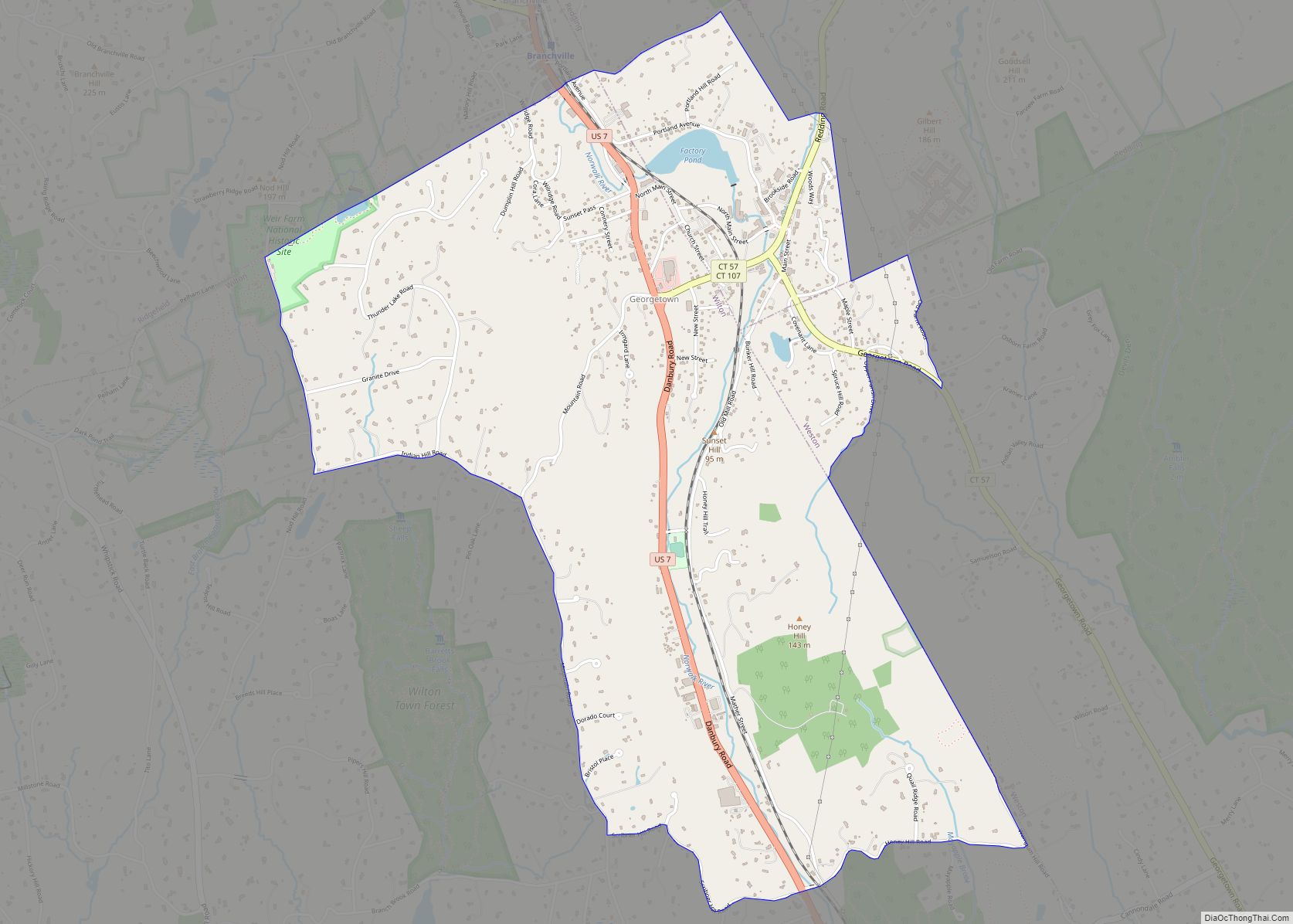
Online Interactive Map
Click on ![]() to view map in "full screen" mode.
to view map in "full screen" mode.
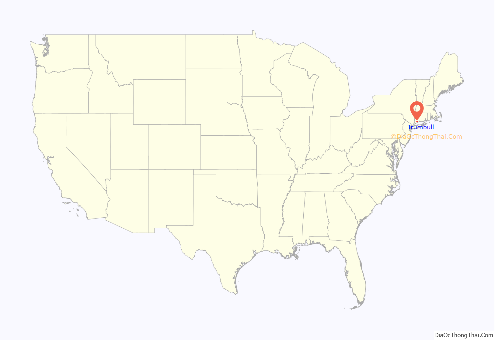
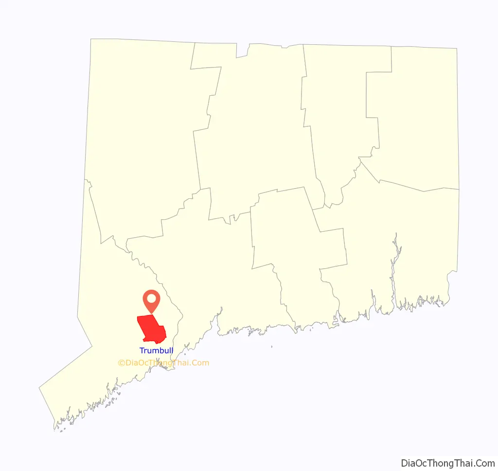
Trumbull location map. Where is Trumbull CDP?
Trumbull Road Map
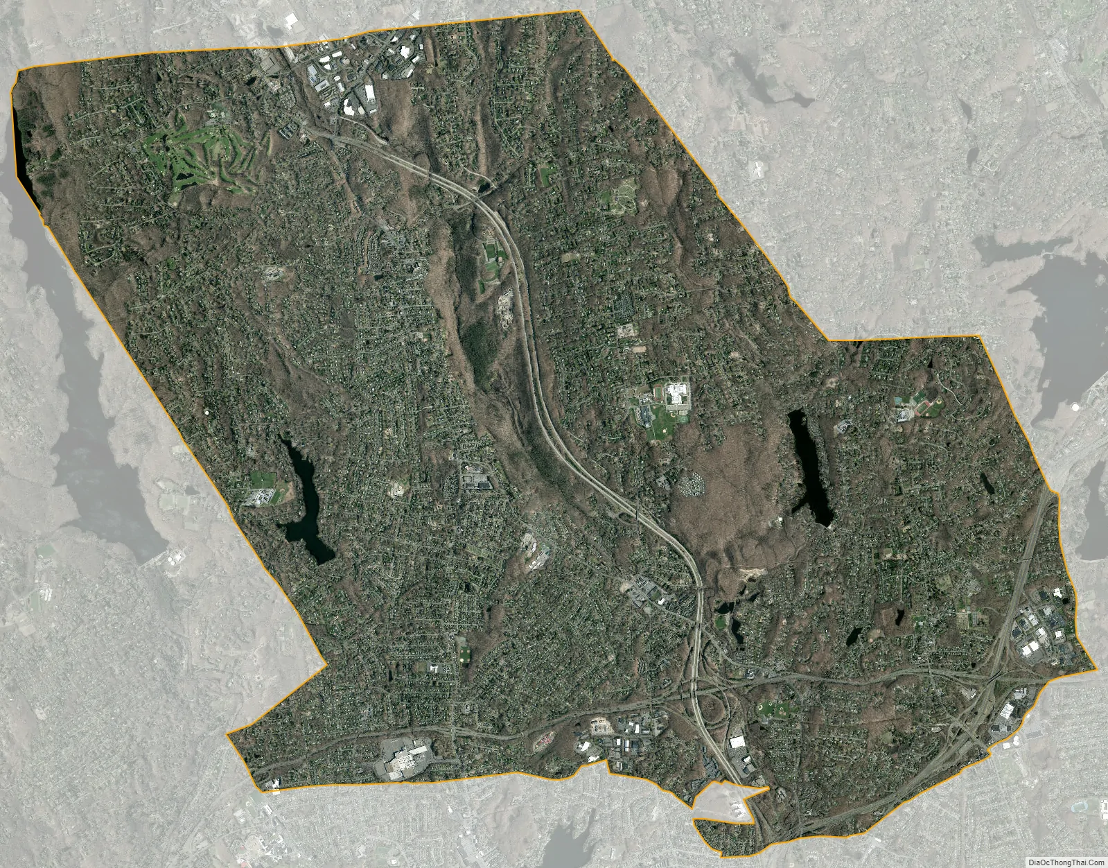
Trumbull city Satellite Map
See also
Map of Connecticut State and its subdivision: Map of other states:- Alabama
- Alaska
- Arizona
- Arkansas
- California
- Colorado
- Connecticut
- Delaware
- District of Columbia
- Florida
- Georgia
- Hawaii
- Idaho
- Illinois
- Indiana
- Iowa
- Kansas
- Kentucky
- Louisiana
- Maine
- Maryland
- Massachusetts
- Michigan
- Minnesota
- Mississippi
- Missouri
- Montana
- Nebraska
- Nevada
- New Hampshire
- New Jersey
- New Mexico
- New York
- North Carolina
- North Dakota
- Ohio
- Oklahoma
- Oregon
- Pennsylvania
- Rhode Island
- South Carolina
- South Dakota
- Tennessee
- Texas
- Utah
- Vermont
- Virginia
- Washington
- West Virginia
- Wisconsin
- Wyoming