Henlopen Acres is a municipality north of Rehoboth Beach in Sussex County, Delaware, United States, and is the third smallest incorporated town in Delaware. According to 2010 census figures, the population of the town is 122, a 12.2% decrease from the 2000 census. It is part of the Salisbury, Maryland-Delaware Metropolitan Statistical Area.
| Name: | Henlopen Acres town |
|---|---|
| LSAD Code: | 43 |
| LSAD Description: | town (suffix) |
| State: | Delaware |
| County: | Sussex County |
| Elevation: | 3 ft (0.9 m) |
| Total Area: | 0.26 sq mi (0.66 km²) |
| Land Area: | 0.26 sq mi (0.66 km²) |
| Water Area: | 0.00 sq mi (0.00 km²) |
| Total Population: | 139 |
| Population Density: | 545.10/sq mi (210.20/km²) |
| Area code: | 302 |
| FIPS code: | 1033900 |
| GNISfeature ID: | 214078 |
| Website: | henlopenacres.delaware.gov |
Online Interactive Map
Click on ![]() to view map in "full screen" mode.
to view map in "full screen" mode.
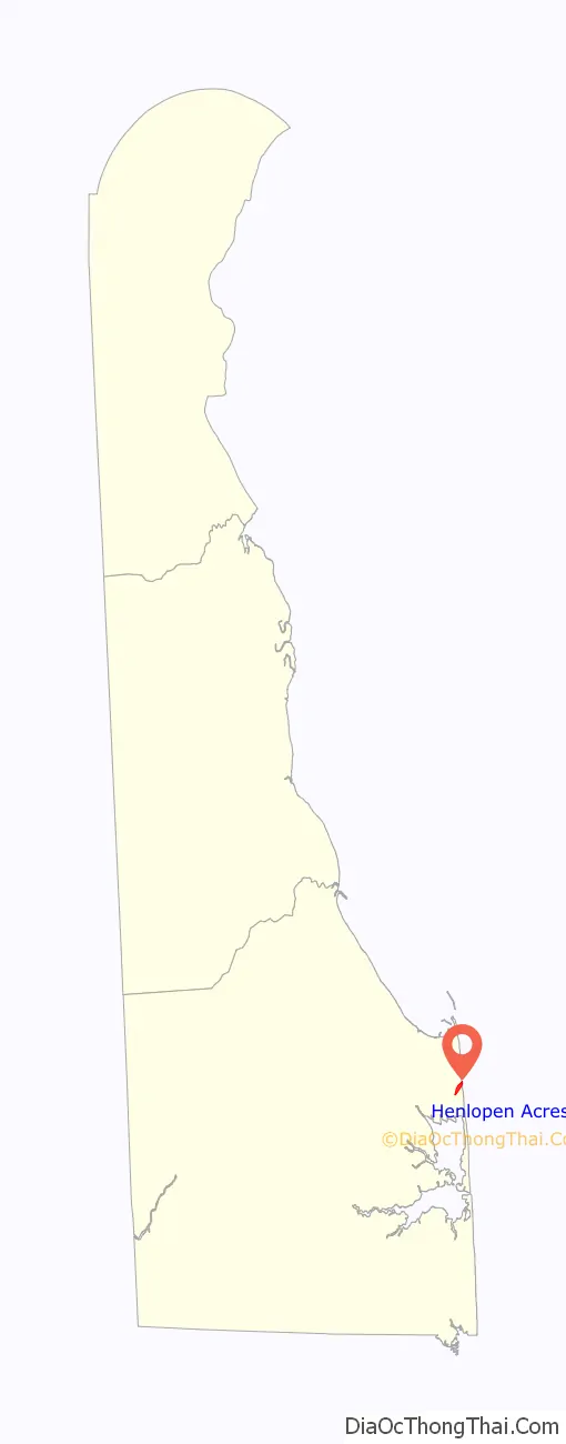
Henlopen Acres location map. Where is Henlopen Acres town?

History
The name “Henlopen” probably is derived from that of Thijmen Jacobsz Hinlopen (1572–1637), a merchant in Amsterdam in the Netherlands.
Evidence of Native American activity prior to the arrival of Europeans has been found in Henlopen Acres. After the arrival of the first European settlers, organized by the Dutch merchant Samuel Blommaert (1583–1651 or 1654), the area became farmland.
In 1930, a 156-acre (63 ha) parcel of this farmland was deeded to Colonel Wilbur S. Corkran (1888–1962) for $100,000. Corkran developed the parcel during the 1930s as a “residential development where quiet-loving, cultured people may live in a country seaside community amid conditions which make for health, comfort and refined pleasure.” Corkran’s development was incorporated in 1970 as the town of Henlopen Acres.
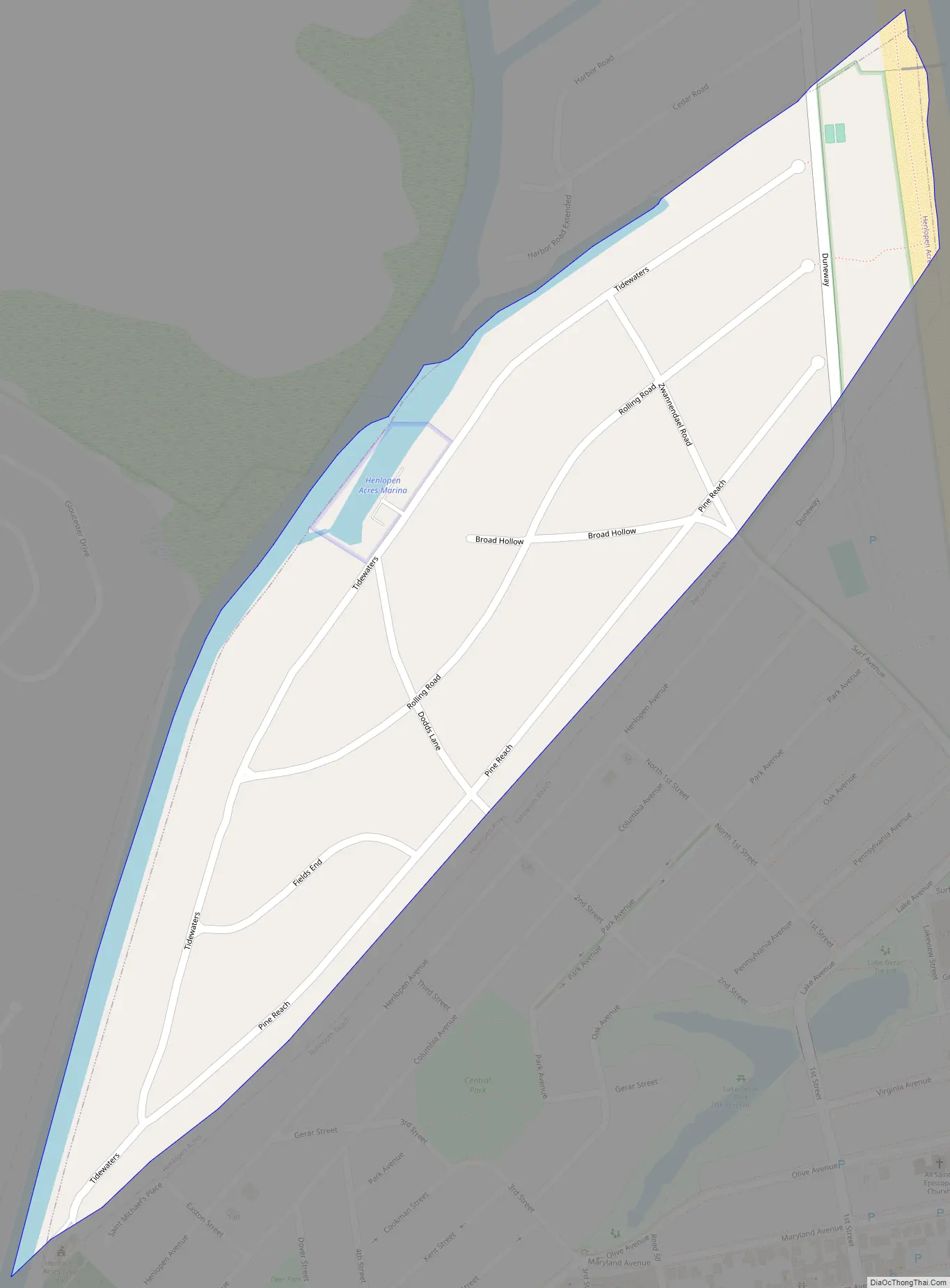
Henlopen Acres Road Map
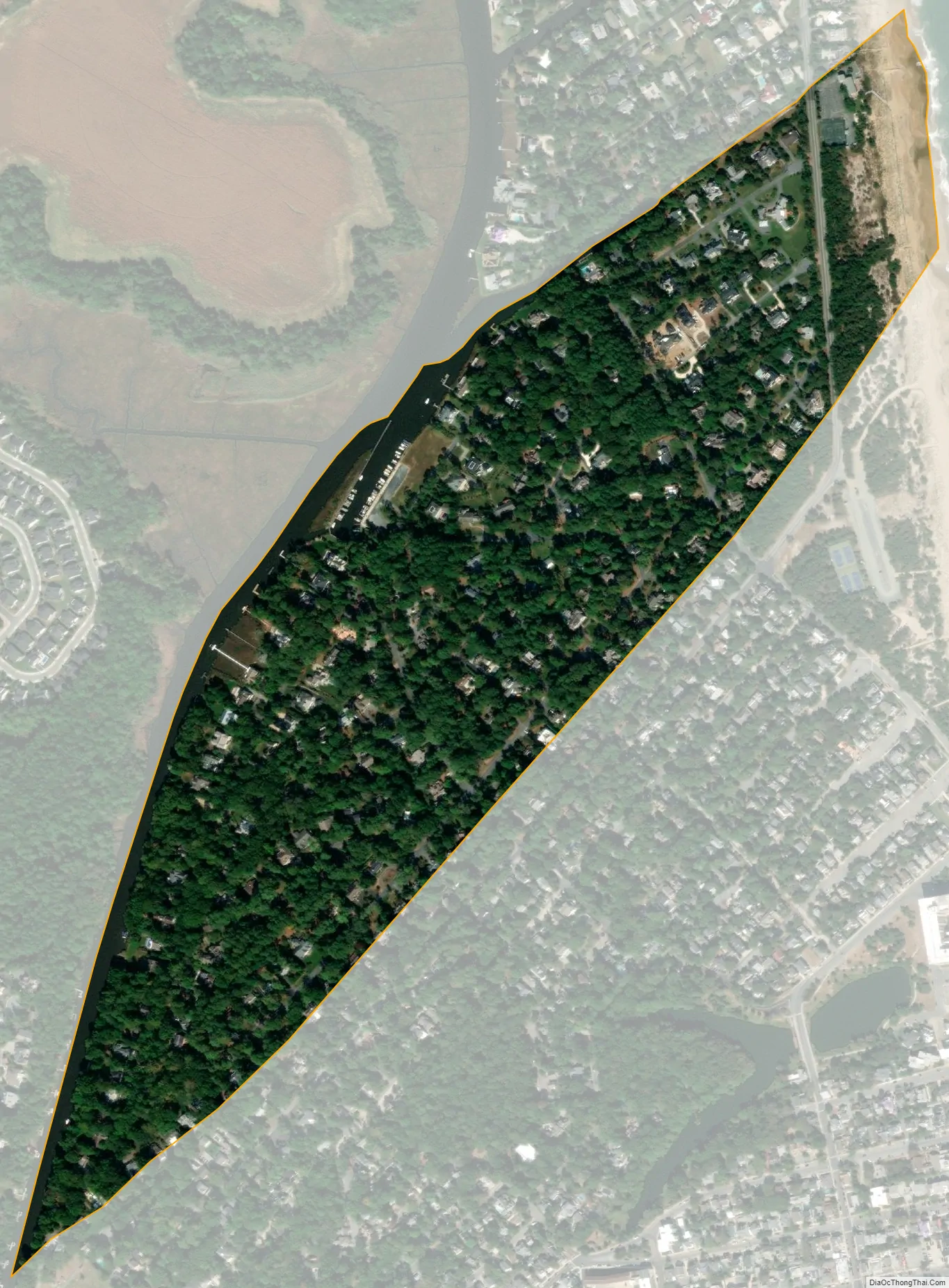
Henlopen Acres city Satellite Map
Geography
Henlopen Acres is located at 38°43′47″N 75°05′11″W / 38.72972°N 75.08639°W / 38.72972; -75.08639 (38.7298343, –75.0862919).
According to the United States Census Bureau, the town has a total area of 0.3 square miles (0.7 km), all land. It is the smallest incorporated town in Delaware. It borders the Atlantic Ocean to the northeast, Rehoboth Beach to the southeast, and unincorporated portions of Sussex County on the west and north. Much of its western border is demarcated by the Lewes and Rehoboth Canal. An unincorporated neighborhood called North Shores separates the northernmost part of Henlopen Acres from the southern boundary of Cape Henlopen State Park.
Henlopen Acres is divided into 216 parcels of land, on which are 205 homes, the town hall and maintenance area, the town’s marina, the Henlopen Acres Beach Club, Block W Beach, and the Rehoboth Art League. The town has 3.6 miles (5.8 kilometers) of roads, which generally are tree-lined.
See also
Map of Delaware State and its subdivision: Map of other states:- Alabama
- Alaska
- Arizona
- Arkansas
- California
- Colorado
- Connecticut
- Delaware
- District of Columbia
- Florida
- Georgia
- Hawaii
- Idaho
- Illinois
- Indiana
- Iowa
- Kansas
- Kentucky
- Louisiana
- Maine
- Maryland
- Massachusetts
- Michigan
- Minnesota
- Mississippi
- Missouri
- Montana
- Nebraska
- Nevada
- New Hampshire
- New Jersey
- New Mexico
- New York
- North Carolina
- North Dakota
- Ohio
- Oklahoma
- Oregon
- Pennsylvania
- Rhode Island
- South Carolina
- South Dakota
- Tennessee
- Texas
- Utah
- Vermont
- Virginia
- Washington
- West Virginia
- Wisconsin
- Wyoming


