Milton is a town in Sussex County, Delaware, United States, on the Delmarva Peninsula. It is located on the Broadkill River, which empties into Delaware Bay. The population was 2,576 at the 2010 census, an increase of 55.5% over the previous decade.
It is part of the rapidly growing Cape Region and lies within the Salisbury, Maryland-Delaware Metropolitan Statistical Area. Delaware Route 5 passes through Milton.
| Name: | Milton town |
|---|---|
| LSAD Code: | 43 |
| LSAD Description: | town (suffix) |
| State: | Delaware |
| County: | Sussex County |
| Founded: | 1763 |
| Incorporated: | March 17, 1865 |
| Elevation: | 10 ft (3 m) |
| Total Area: | 1.89 sq mi (4.89 km²) |
| Land Area: | 1.79 sq mi (4.63 km²) |
| Water Area: | 0.10 sq mi (0.26 km²) |
| Total Population: | 3,291 |
| Population Density: | 1,842.67/sq mi (711.35/km²) |
| ZIP code: | 19968 |
| Area code: | 302 |
| FIPS code: | 1048330 |
| GNISfeature ID: | 214325 |
| Website: | www.ci.milton.de.us |
Online Interactive Map
Click on ![]() to view map in "full screen" mode.
to view map in "full screen" mode.
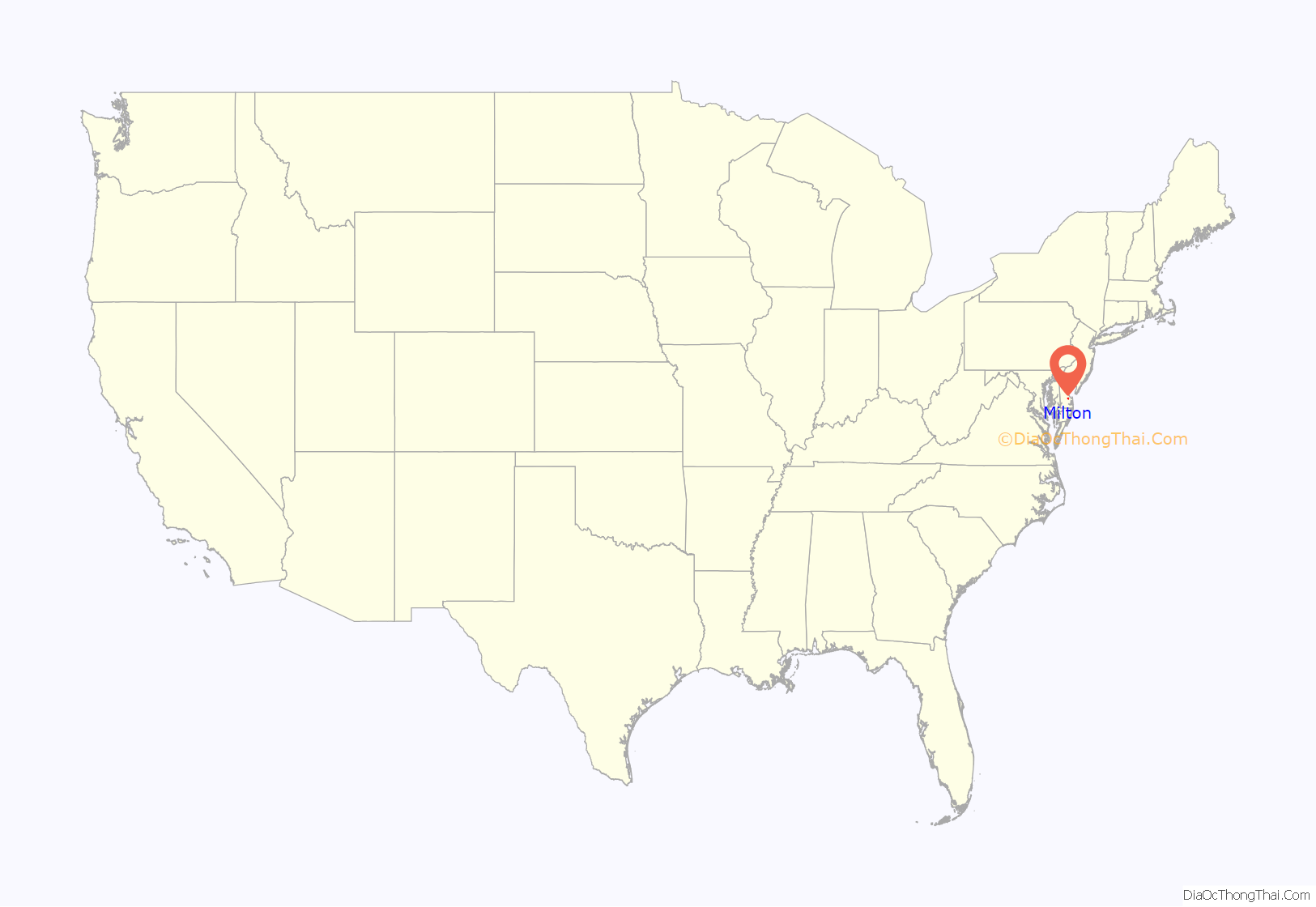
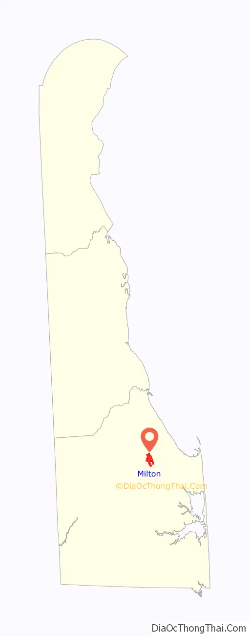
Milton location map. Where is Milton town?
History
Located at the head of the Broadkill River, which enters Delaware Bay, the Milton area was first settled in 1675 by English colonists and founded as “Head of Broadkiln” in 1763. It became important for shipbuilding. The town was known by renamed by the Delaware Legislature in 1807, in honor of the English poet John Milton. The Delaware General Assembly passed a charter on March 17, 1865, that recognized the Town of Milton as a municipality.
History and Milton’s shipbuilding heritage remain very important to the town, which is home to some of the finest Victorian and Colonial architecture in Delaware. Many of the homes have been restored to their original form, particularly those on Union and Federal streets.
Milton has 198 contributing structures listed within its Federal Register Historic District. Significant buildings and sites are the Lydia Black Cannon Museum, the Governor James Carey home, the Chestnut Street Cemetery, and the Governor David Hazzard Mansion. The Hazzard House and Gov. James Ponder House were listed on the National Register of Historic Places in 1973. The Milton Historic District was added in 1982.
Milton serves local residents and summer tourists in the Milton, Broadkill Beach and Primehook Beach areas with family-operated businesses and new office and shopping complexes. Several local businesses in the area are served by the Delmarva Central Railroad, which operates a branch that extends to Milton from Ellendale. Recreational opportunities abound with the Broadkill River, Wagamon’s Pond, Diamond Pond and Lavinia Pond. Public boat docks and fishing piers are also available. It is within an easy drive to the coastal resorts of Lewes and Rehoboth Beach, Delaware.
A footpath known as the Governors Walk follows the Broadkill River in central Milton. The Nature Conservancy established a preserve along the river downstream of Milton in 1998. As of 2005, an annual canoe and kayak race was being held on the river in Milton. The river passes through and feeds Prime Hook National Wildlife Refuge to the east before entering Delaware Bay.
Milton is the home of the Dogfish Head Brewery, a well-known East Coast beer-maker.
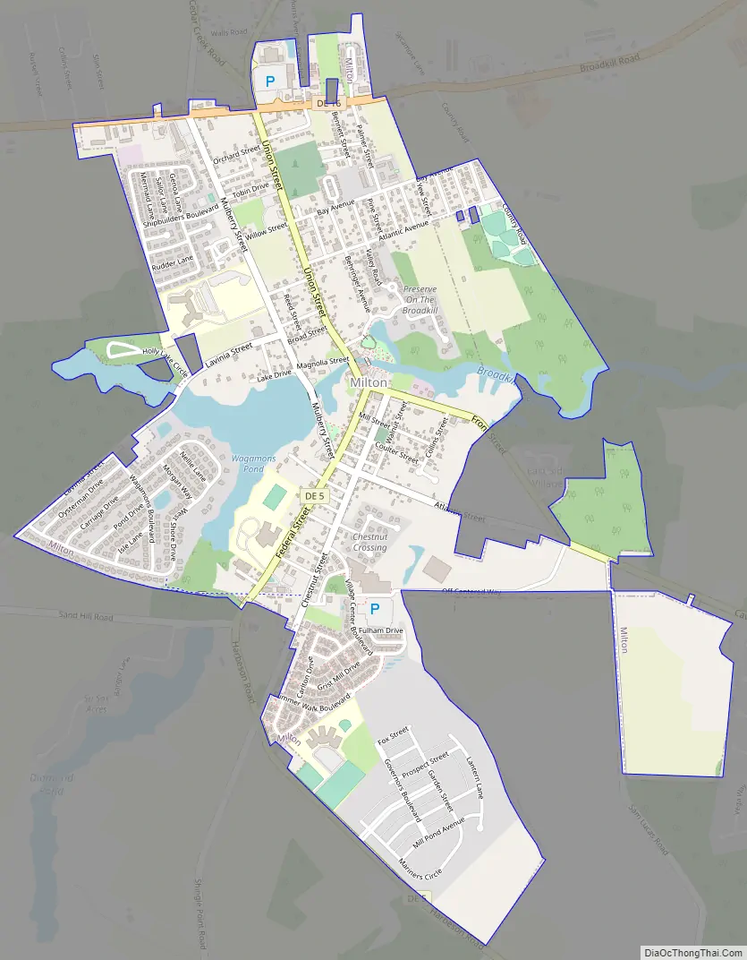
Milton Road Map
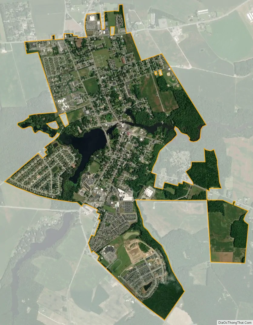
Milton city Satellite Map
Geography
Milton is located along the Broadkill River.
According to the United States Census Bureau, the town has a total area of 1.2 square miles (3.1 km), of which 1.1 square miles (2.8 km) is land and 0.1 square miles (0.26 km) (8.62%) is water.
See also
Map of Delaware State and its subdivision: Map of other states:- Alabama
- Alaska
- Arizona
- Arkansas
- California
- Colorado
- Connecticut
- Delaware
- District of Columbia
- Florida
- Georgia
- Hawaii
- Idaho
- Illinois
- Indiana
- Iowa
- Kansas
- Kentucky
- Louisiana
- Maine
- Maryland
- Massachusetts
- Michigan
- Minnesota
- Mississippi
- Missouri
- Montana
- Nebraska
- Nevada
- New Hampshire
- New Jersey
- New Mexico
- New York
- North Carolina
- North Dakota
- Ohio
- Oklahoma
- Oregon
- Pennsylvania
- Rhode Island
- South Carolina
- South Dakota
- Tennessee
- Texas
- Utah
- Vermont
- Virginia
- Washington
- West Virginia
- Wisconsin
- Wyoming


