Holyoke is a city in Hampden County, Massachusetts, United States, that lies between the western bank of the Connecticut River and the Mount Tom Range. As of the 2020 census, the city had a population of 38,328. Located 8 miles (13 km) north of Springfield, Holyoke is part of the Springfield Metropolitan Area, one of the two distinct metropolitan areas in Massachusetts.
Holyoke is among the early planned industrial cities in the United States. Built in tandem with the Holyoke Dam to utilize the water power of Hadley Falls, it is one of a handful of cities in New England built on the grid plan. During the late 19th century the city produced an estimated 80% of the writing paper used in the United States and was home to the largest paper mill architectural firm in the country, as well as the largest paper, silk, and alpaca wool mills in the world. Although a considerably smaller number of businesses in Holyoke work in the paper industry today, it is still commonly referred to as “The Paper City”. Today the city contains a number of specialty manufacturing companies, as well as the Massachusetts Green High Performance Computing Center, an intercollegiate research facility which opened in 2012. Holyoke is also home to the Volleyball Hall of Fame and known as the “Birthplace of Volleyball”, as the internationally played Olympic sport was invented and first played at the local YMCA chapter by William G. Morgan in 1895.
While managing the Holyoke Testing Flume in the 1880s, hydraulic engineer Clemens Herschel invented the Venturi meter to determine the water use of individual mills in the Holyoke Canal System. This device, the first accurate means of measuring large-scale flows, is widely used in a number of engineering applications today, including waterworks and carburators, as well as aviation instrumentation. Powered by these municipally-owned canals, Holyoke has among the lowest electricity costs in the Commonwealth, and as of 2016 between 85% and 90% of the city’s energy was carbon neutral, with administrative goals in place to reach 100% in the future.
| Name: | Holyoke city |
|---|---|
| LSAD Code: | 25 |
| LSAD Description: | city (suffix) |
| State: | Massachusetts |
| County: | Hampden County |
| Elevation: | 200 ft (60 m) |
| Total Area: | 22.80 sq mi (59.05 km²) |
| Land Area: | 21.17 sq mi (54.83 km²) |
| Water Area: | 1.63 sq mi (4.23 km²) |
| Total Population: | 38,328 |
| Population Density: | 1,806.32/sq mi (697.43/km²) |
| Area code: | 413 |
| FIPS code: | 2530840 |
| GNISfeature ID: | 0617679 |
| Website: | www.holyoke.org |
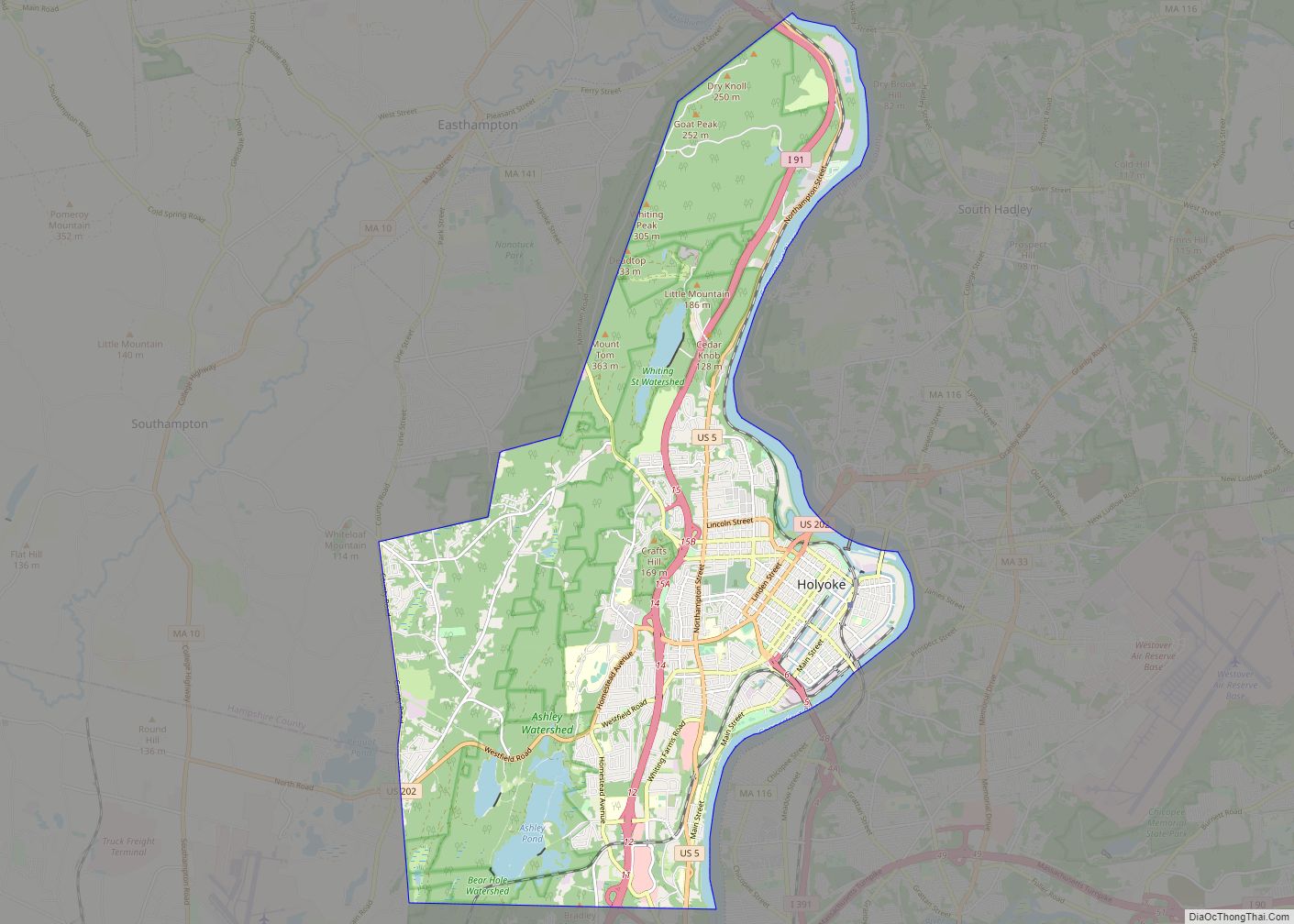
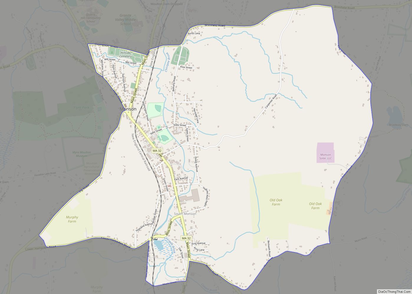
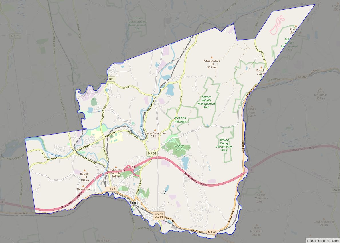
Online Interactive Map
Click on ![]() to view map in "full screen" mode.
to view map in "full screen" mode.
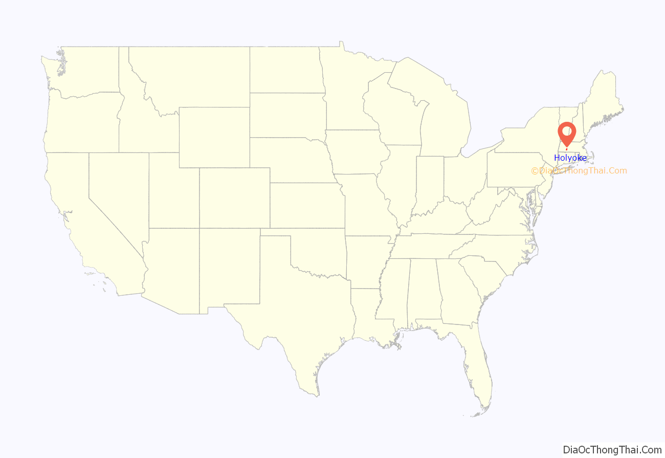
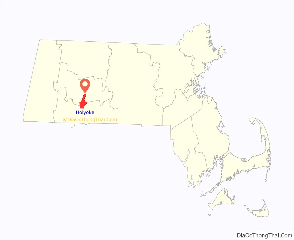
Holyoke location map. Where is Holyoke city?
History
The Indigenous people of Holyoke and South Hadley Falls were the Algonquian peoples. Though records are incomplete, the area was settled by the Pocomtuc, sometimes referred to as the Agawam or Nonotuck.
English colonists arrived in the Connecticut River Valley in 1633, when traders from the Plymouth Plantation established a post at Windsor, Connecticut. In 1636, Massachusetts Bay Colony assistant treasurer and Puritan iconoclast William Pynchon led a group of settlers from Roxbury, Massachusetts to the Valley to establish Springfield on land scouts had found to be advantageous for farming and trading. This settlement was built north of the Connecticut River’s first major falls, Enfield Falls, where seagoing vessels had to transfer cargo into smaller shallops to continue northward on the river. Due to its proximity to the banks of the river Springfield quickly became a successful settlement on the Bay Path to Boston, as well as the Massachusetts Path to Albany. Originally, the settlement spanned both sides of the river but was partitioned in 1774 with the land on the western bank becoming West Springfield, Massachusetts. This area, previously allotted to landowners on the east side of the river in Springfield, was settled by colonists by 1655, and included what is now Holyoke. Holyoke as a geographic entity was initially incorporated as the 3rd parish of West Springfield on July 7, 1786, and was called “Ireland” or “Ireland Parish”. The area’s first post office, “Ireland”, was established June 3, 1822, with Martin Chapin as first postmaster; it was discontinued in 1883. Another, “Ireland Depot”, was established February 26, 1847, with John M. Chapin as first postmaster, and assumed the town name upon Holyoke’s incorporation. Though the name Hampden was considered, the area was subsequently named for earlier Springfield settler William Pynchon’s son-in-law, Elizur Holyoke, who had first explored the area in the 1650s. Following land acquisitions and development by the Hadley Falls Company, the town of Holyoke was officially incorporated on March 14, 1850. The first official town meeting took place a week later, on March 22, 1850.
A part of Northampton known as Smith’s Ferry was separated from the rest of the town by the creation of Easthampton in 1809. The shortest path to downtown Northampton was on a road near the Connecticut River oxbow, which was subject to frequent flooding. The neighborhood became the northern part of Holyoke in 1909.
Holyoke had few inhabitants until the construction of the dam and the Holyoke Canal System in 1849 and the subsequent construction of water-powered mills, particularly paper mills, the first and last to operate in the city, being those of the Parsons Paper Company. At one point over 25 paper mills were in operation in the city. The Holyoke Machine Company, manufacturer of the Hercules water turbine, was among many industrial developments of the era.
Holyoke’s population rose from just under 5,000 in 1860 to over 60,000 in 1920. Due to this staggering growth the municipality was officially incorporated as a city on April 7, 1873, only 23 years after its initial incorporation as the “Town of Holyoke”. Later that year the city elected its first mayor, William B. C. Pearsons, who, a quarter-century earlier, had established himself among the first lawyers in the city, and was the first editorial writer of the area newspaper-of-record, the Hampden Freeman, best known as the Holyoke Transcript-Telegram.
By 1885, Holyoke was the largest single producer of paper of any city in the United States, producing around 190 tons per day, more than double the next-largest producer, Philadelphia, producing 69 tons per day despite having a population nearly 40 times its size. Before 1900 Holyoke would produce 320 tons per day, predominantly of writing paper. In 1888, Holyoke’s paper industry spurred the foundation of the American Pad & Paper Company (AMPAD), which as of 2007 was one of the largest suppliers of office products in the world. Holyoke was also previously the location of the headquarters of the American Writing Paper Company, a trust company established in 1899 with the merging of 23 rag paper mills, 13 of which were located in Holyoke. At one point the company was the largest producer of fine papers in the world, however incompetent leadership lacking technical knowledge of the industry led the company to fold by 1963. The availability of water power enabled Holyoke to support its own electric utility company and maintain it independently of America’s major regional utilities. The city was thus a rare unaffected area in the Northeast blackout of 1965, for example.
In addition to developments in the paper and textile industries, a number of industrial inventions would arise out of the city in the late 19th and early 20th centuries. The first and most prominent hydraulic testing lab in the United States, the Holyoke Testing Flume performed 3,176 tests to establish turbine efficiency from 1870 to 1932. Among the flume’s resulting developments were Clemens Herschel’s Venturi meter in 1888, the first accurate way to measure large-scale flows, as well as the Hercules turbine by John B. McCormick in 1899, the first mixed flow turbine. Other pioneering developments included the first use of Hans Goldschmidt’s exothermic welding process in the Americas in 1904, by George E. Pellissier and the Holyoke Street Railway. In electronics, the world’s first commercial toll line, between the city’s Hotel Jess and a location in Springfield, entered service on June 15, 1878. The city was also home to Thaddeus Cahill’s New England Electric Music Company which, on March 16, 1906, demonstrated the Telharmonium, the world’s first electromechanical instrument, a predecessor of the synthesizer.
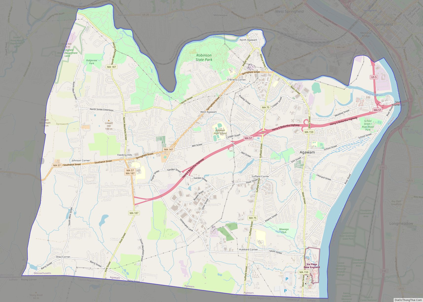
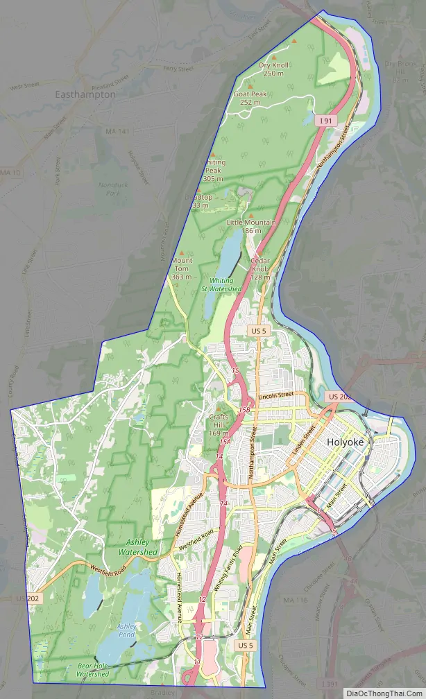
Holyoke Road Map
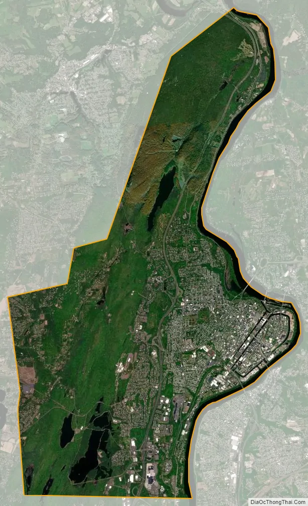
Holyoke city Satellite Map
Geography
Neighborhoods of Holyoke, Massachusetts
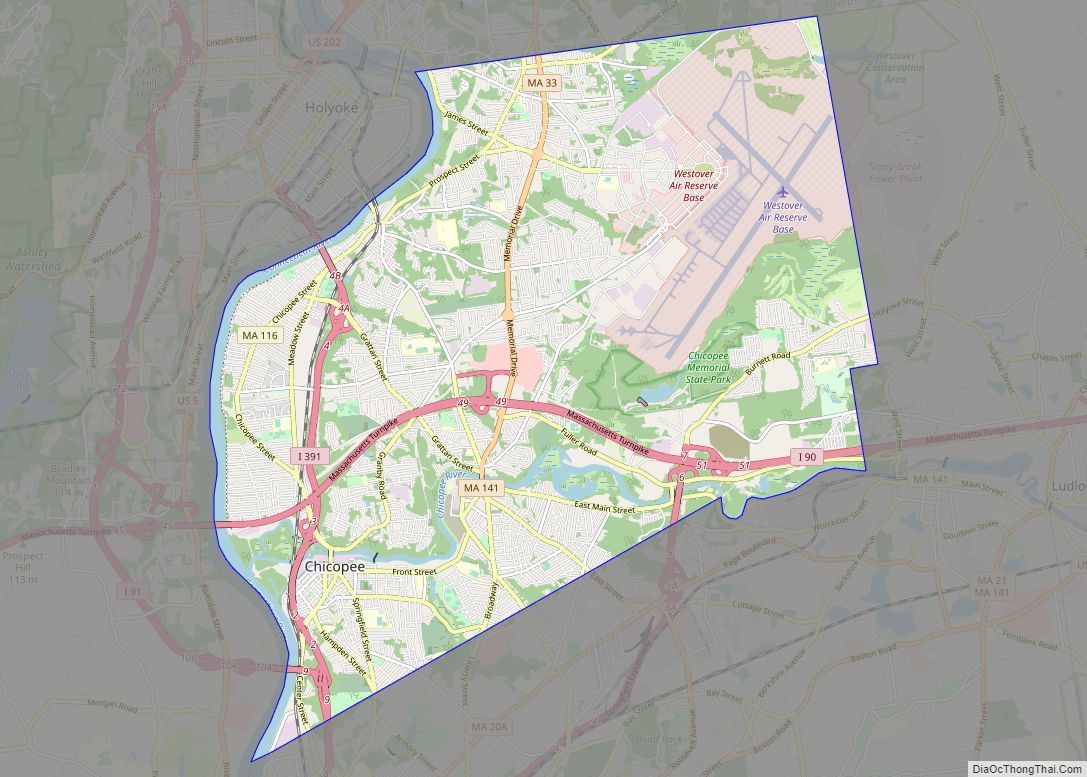
Holyoke is located at 42°12′11″N 72°37′26″W / 42.20306°N 72.62389°W / 42.20306; -72.62389 (42.203191, −72.623969). According to the United States Census Bureau, the city has a total area of 22.8 square miles (59 km), of which 21.3 square miles (55 km) is land and 1.5 square miles (3.9 km) (6.70%) is water. The city is bordered by Southampton and Westfield to the west, Easthampton to the north, Hadley, South Hadley and Chicopee as river borders to the east, and West Springfield to the south.
Holyoke is the location of East Mountain, the Mount Tom Range, and Mount Tom, at 1,202 feet (366 m) the highest traprock peak on the Metacomet Ridge, a linear mountain range that extends from Long Island Sound to the Vermont border. The most densely populated area, lying between the Mount Tom Range and the Connecticut River, is characterized by a series of terraces separated by wooded ravines, known as dingles, which drain to the river. Mount Tom is characterized by its high cliffs, sweeping vistas, and microclimate ecosystems. The 110-mile (180 km) Metacomet-Monadnock Trail traverses the Mount Tom Range and East Mountain. Fossilized dinosaur tracks and specimens can be found at the foot of these mountains due to their unique geology. A species of dinosaur, Podokesaurus holyokensis, whose fossils were first discovered across the river in South Hadley, was given its name for the area, and the city has in recent years passed measures to try to protect fossils in parks from theft or vandalism.
Neighborhoods
The city of Holyoke contains 15 distinct neighborhoods. Some, like Springdale and Oakdale, were conceived by individual developers as streetcar suburbs for mill workers in the 19th century, whereas others like Rock Valley and Elmwood were villages within West Springfield that predate the city. Additionally a number of names such as Ewingville and Elmwood Heights have been used historically but have become defunct as separate entities. In alphabetical order, Holyoke’s neighborhoods are:
- Churchill – features Wistariahurst and the Holyoke Senior Center.
- Downtown – features City Hall and the Volleyball Hall of Fame.
- Elmwood – the city’s oldest neighborhood; predating Holyoke, it was originally known as “Baptist Village”
- The Flats – features the Holyoke Canal System and many prominent structures built by the Hadley Falls Company in the mid-19th century, as well as the Holyoke Innovation District
- Highlands
- Highland Park
- Homestead Avenue – features the Ashley Reservoir, Holyoke Community College.
- Ingleside – features the Holyoke Mall and Nuestras Raices.
- Jarvis Avenue
- Oakdale – features Forestdale Cemetery, Rohan Park, and the Holyoke Medical Center.
- Rock Valley
- Smith’s Ferry – features the Dinosaur Footprints Reservation. Annexed from Northampton in 1909.
- South Holyoke – features the Puerto Rican-Afro Caribbean Cultural Center and the Holyoke Turner Hall.
- Springdale – features Springdale Park, the city’s largest flagship park designed by the Olmsted Brothers.
- Whiting Farms
Architecture
Holyoke’s industrial development in the late 19th and early 20th centuries led to a massive demand for new housing as the population grew by more than 1000% from the years from 1850 to 1890. Initially this demand was filled by company housing, including such examples as the Hadley Falls Company Housing District, whose structures were built in 1847–1848. Gradually the Holyoke Water Power Company began building housing on its land holdings to sell to working families, and by the end of the 19th century more private developments had begun to appear. Holyoke’s architecture can be characterized by a mixture of Italianate, Gothic Revival, Queen Anne and Second Empire, with some Tudor revival examples throughout its neighborhoods. The city is also home to at least two examples of works by national architects, the Holyoke City Hall designed in the Gothic Revival style by Charles B. Atwood, and the now-defunct Connecticut River Railroad Station designed by eminent architect H. H. Richardson. Philadelphia rowhouses are also a common feature among residential streets in downtown area.
Throughout its history Holyoke has been home to a number of architects who shaped its unique urban landscape. The most prominent included George P. B. Alderman, who designed industrial buildings as well as the Holyoke Post Office, apartment blocks, and many of the city’s iconic Victorian estates. Alderman started his independent practice after being an apprentice to James A. Clough of Clough & Reid, who is best known as the architect of the former iconic Mount Tom Summit Houses as well as the Holyoke Public Library. Architect Oscar Beauchemin’s work shaped both the Main Street landscape of Springdale and many large multi-colored brick tenements built in mixed density housing can be attributed to him, often with Renaissance Revival architectural motifs.
Holyoke’s own millwright engineers and architects David and Ashley Tower, doing business as D. H. & A. B. Tower, would go on to design more than 100 mills in the latter half of the 19th century, and in many respects made Holyoke synonymous with its present-day handle “The Paper City”. Holyoke’s paper mills from this period were largely the work of the brothers, who designed mills on five continents and among the first of Kimberly-Clark and Crane Currency. In sum they would design 16 factories and mills in Holyoke and, including minor design roles, performed engineering work in some capacity on 25 of the city’s in total.
Planned industrial community
As one of the first planned industrial communities in the United States, downtown Holyoke features rectilinear street grids—a novelty in New England. This street hierarchy was seen as an economic development tool as it lends well to high-rise buildings, and the surrounding canals could be landscaped for recreation. Whereas New York’s Commissioner’s Plan of 1811 lays out a system of numbered streets and avenues, engineer Philander Anderson laid out the names of routes in Holyoke’s grid system alternating between tree species for North to South streets (Sycamore, Locust, Linden, Oak, Beech, Pine, Walnut, Elm, Chestnut, Maple), and the names of the Hadley Falls Company founders (Lyman, Dwight, Appleton, Cabot, Sargeant, Jackson), as well as several Massachusetts counties (Hampden, Suffolk, Essex, Hampshire, Franklin) for thoroughfares running east to west. The city’s advantageous location on the Connecticut River—the largest river in New England—beside Hadley Falls, the river’s steepest drop (60 feet), attracted the Boston Associates, who had successfully developed Lowell, Massachusetts‘ textile industry. From the late 19th century until the mid-20th century, Holyoke was the world’s biggest paper manufacturer. The elaborate Holyoke Canal System, built to power paper and textile mills, distinguishes it from other Connecticut River cities. A series of railways running parallel to these canals also provided easy access to freight, a number of which remain operational today under the Pioneer Valley Railroad.
See also
Map of Massachusetts State and its subdivision: Map of other states:- Alabama
- Alaska
- Arizona
- Arkansas
- California
- Colorado
- Connecticut
- Delaware
- District of Columbia
- Florida
- Georgia
- Hawaii
- Idaho
- Illinois
- Indiana
- Iowa
- Kansas
- Kentucky
- Louisiana
- Maine
- Maryland
- Massachusetts
- Michigan
- Minnesota
- Mississippi
- Missouri
- Montana
- Nebraska
- Nevada
- New Hampshire
- New Jersey
- New Mexico
- New York
- North Carolina
- North Dakota
- Ohio
- Oklahoma
- Oregon
- Pennsylvania
- Rhode Island
- South Carolina
- South Dakota
- Tennessee
- Texas
- Utah
- Vermont
- Virginia
- Washington
- West Virginia
- Wisconsin
- Wyoming