Hillandale is an unincorporated area and census-designated place located in Montgomery and Prince George’s counties, Maryland, United States. As of the 2020 census, it had a population of 5,774. Hillandale is contained between the Prince George’s / Montgomery County line to the east, the Anacostia River to the west, McCeney Avenue to the north, and D.C.’s Capital Beltway to the south. It borders the communities of Adelphi, Avenel, White Oak and Beltsville.
| Name: | Hillandale CDP |
|---|---|
| LSAD Code: | 57 |
| LSAD Description: | CDP (suffix) |
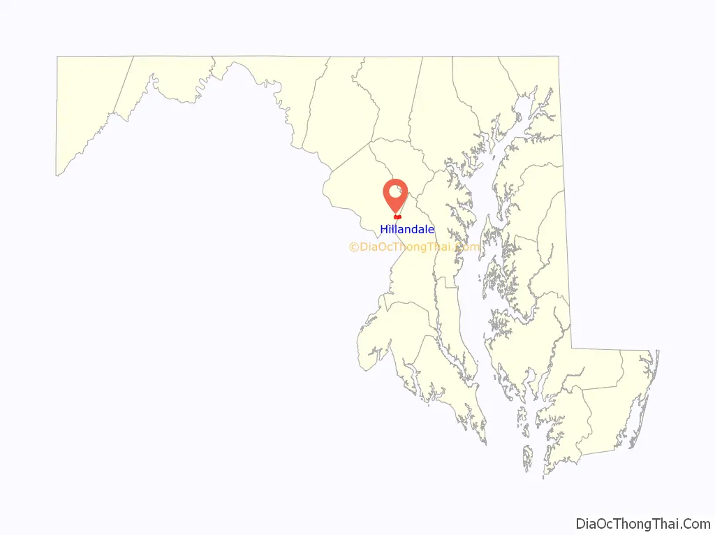
| State: | Maryland |
| County: | Montgomery County, Prince George’s County |
| Elevation: | 262 ft (80 m) |
| Total Area: | 1.89 sq mi (4.89 km²) |
| Land Area: | 1.89 sq mi (4.89 km²) |
| Water Area: | 0.00 sq mi (0.00 km²) |
| Total Population: | 5,774 |
| Population Density: | 3,056.64/sq mi (1,180.17/km²) |
| ZIP code: | 20903 |
| Area code: | 301, 240 |
| FIPS code: | 2438850 |
| GNISfeature ID: | 0590471 |
Online Interactive Map
Click on ![]() to view map in "full screen" mode.
to view map in "full screen" mode.
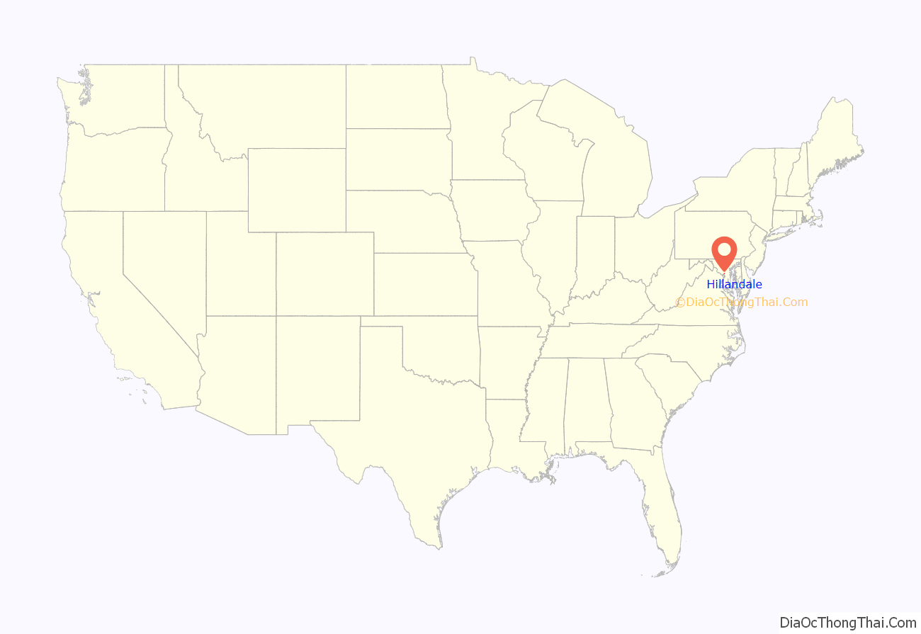
Hillandale location map. Where is Hillandale CDP?
Hillandale Road Map
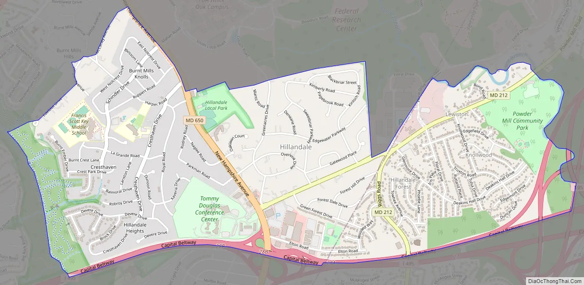
Hillandale city Satellite Map

Geography
Hillandale is part of the very large postal designation of Silver Spring.
According to the United States Census Bureau, the place has a total area of 2.0 square miles (5.3 km), all land.
In Montgomery County, Hillandale is bordered by the Silver Spring CDP to the south (across the Capital Beltway), the Four Corners CDP to the west (across the Northwest Branch Anacostia River), and the White Oak CDP to the north. In Prince George’s County, Hillandale is bordered by the Beltsville CDP to the east (across the Paint Branch) and the Adelphi CDP to the south (across the Capital Beltway).
See also
Map of Maryland State and its subdivision: Map of other states:- Alabama
- Alaska
- Arizona
- Arkansas
- California
- Colorado
- Connecticut
- Delaware
- District of Columbia
- Florida
- Georgia
- Hawaii
- Idaho
- Illinois
- Indiana
- Iowa
- Kansas
- Kentucky
- Louisiana
- Maine
- Maryland
- Massachusetts
- Michigan
- Minnesota
- Mississippi
- Missouri
- Montana
- Nebraska
- Nevada
- New Hampshire
- New Jersey
- New Mexico
- New York
- North Carolina
- North Dakota
- Ohio
- Oklahoma
- Oregon
- Pennsylvania
- Rhode Island
- South Carolina
- South Dakota
- Tennessee
- Texas
- Utah
- Vermont
- Virginia
- Washington
- West Virginia
- Wisconsin
- Wyoming


