Four Corners is a neighborhood and census-designated place (CDP) in Montgomery County, Maryland, United States. Many residents consider the neighborhood a part of Silver Spring, to whose CDP it belonged until 2010. It had a population of 8,316 at the 2020 census.
| Name: | Four Corners CDP |
|---|---|
| LSAD Code: | 57 |
| LSAD Description: | CDP (suffix) |
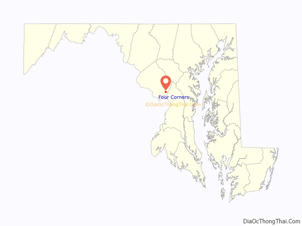
| State: | Maryland |
| County: | Montgomery County |
| Total Area: | 1.48 sq mi (3.83 km²) |
| Land Area: | 1.46 sq mi (3.79 km²) |
| Water Area: | 0.01 sq mi (0.03 km²) |
| Total Population: | 8,316 |
| Population Density: | 5,680.33/sq mi (2,193.89/km²) |
| ZIP code: | 20901 |
| FIPS code: | 2429790 |
Online Interactive Map
Click on ![]() to view map in "full screen" mode.
to view map in "full screen" mode.
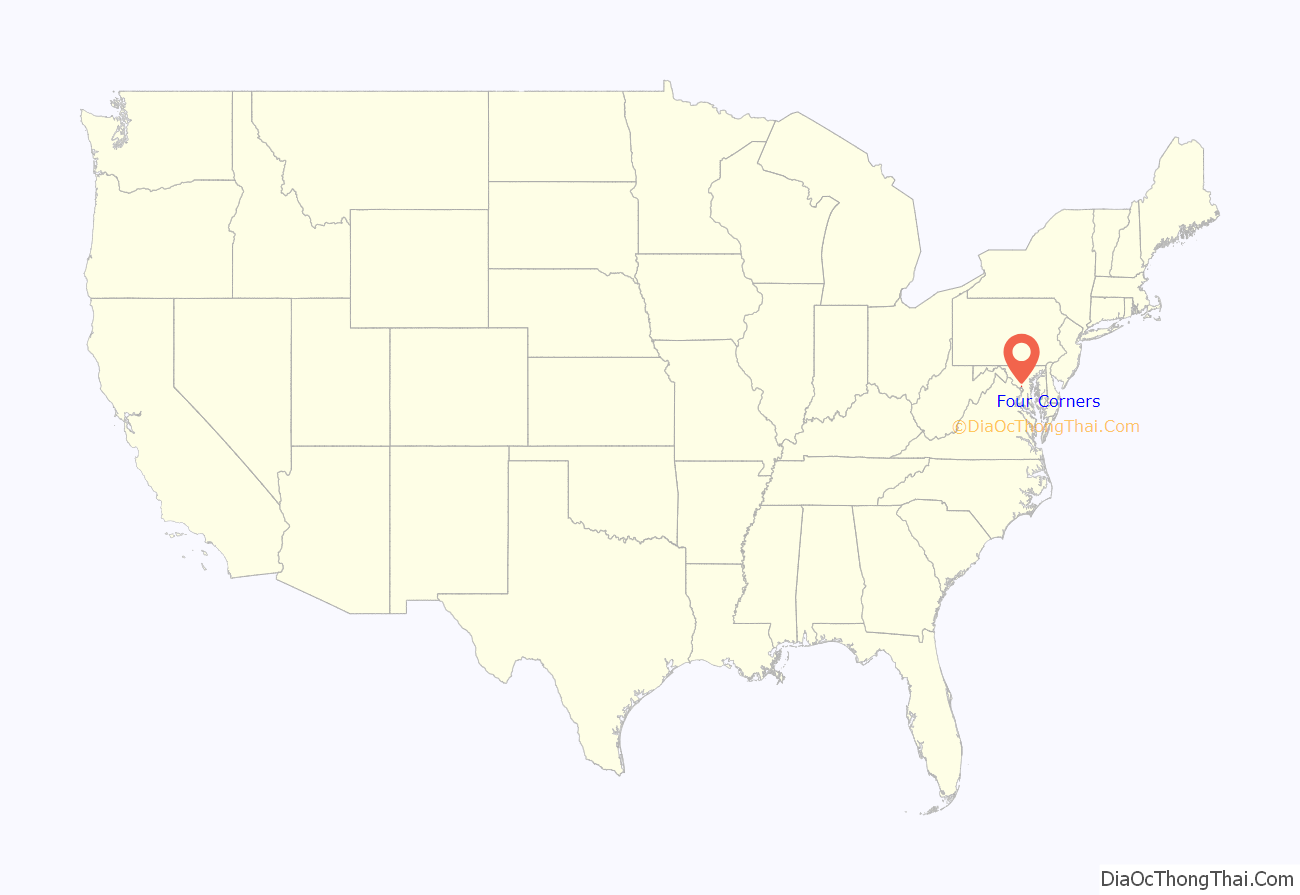
Four Corners location map. Where is Four Corners CDP?
History
In the 1700s, a water mill was built at the easternmost corner of Four Corners, where today’s Colesville Road passes over the Northwest Branch of the Anacostia River and becomes Columbia Pike. The mill building burned down in 1788, hence the name Burnt Mills. Rebuilt in the late 1700s or early 1800s, ownership of the mill changed hands several times in the 19th century before closing down in the early years of the 20th century. The land was then donated to the Boy Scouts of America, who established a camp named for President Woodrow Wilson. In the early 1920s, the Boy Scouts donated part of the land to the Washington Suburban Sanitary Commission, and a temporary water filtration plant was erected at the site. Work on a new plant was completed in 1936, and the plant was named for the Washington Suburban Sanitary Commission’s chief engineer, Robert B. Morse Filtration Plant. The dam and the two Georgian Revival pump houses were acquired by the Maryland-National Capital Park and Planning Commission between 1996 and 2000 and are now on the Historic Register. The Burnt Mills Dam parks (East and West) are a popular starting point for hikers of the Northwest Branch Trail, part of the Rachel Carson Greenway, whose northernmost section runs along the eastern and northern border of the neighborhood.
In the 19th century, there was an agricultural community located at the crossroads on the Bladensburg and Colesville Roads. The community remained rural until the post-World War I building boom in suburban Montgomery County. Four Corners came into being as a residential neighborhood between the world wars, beginning in the late 1930s with the development of Northwood Park, Woodmoor, Indian Spring Village, Indian Spring Terrace, North Hills of Sligo Park, and Fairway. These subdivisions expanded between 1945 and 1955 even as new ones, such as Northwood and Franklin Knolls, were constructed. The single-family house subdivisions that soon surrounded Four Corners had winding streets that formed an irregular grid in between major roads. Four Corners was largely developed by the late 1950s.
Four Corners Road Map

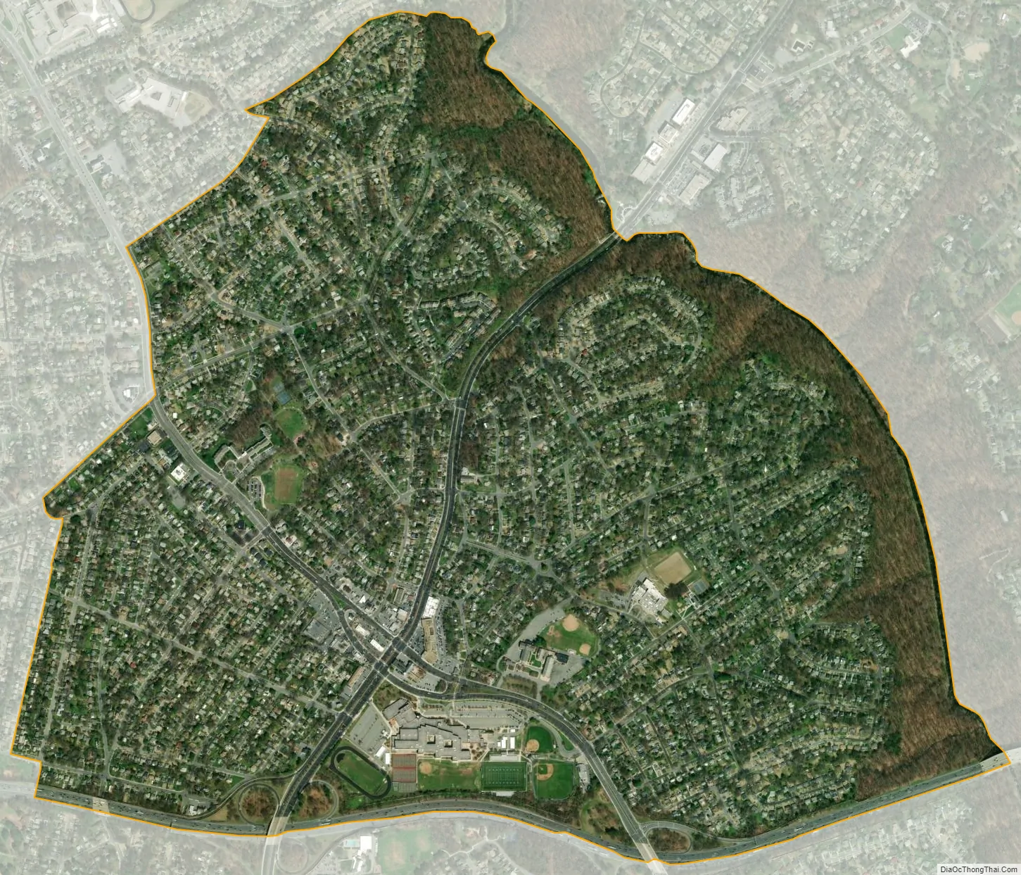
Four Corners city Satellite Map
See also
Map of Maryland State and its subdivision: Map of other states:- Alabama
- Alaska
- Arizona
- Arkansas
- California
- Colorado
- Connecticut
- Delaware
- District of Columbia
- Florida
- Georgia
- Hawaii
- Idaho
- Illinois
- Indiana
- Iowa
- Kansas
- Kentucky
- Louisiana
- Maine
- Maryland
- Massachusetts
- Michigan
- Minnesota
- Mississippi
- Missouri
- Montana
- Nebraska
- Nevada
- New Hampshire
- New Jersey
- New Mexico
- New York
- North Carolina
- North Dakota
- Ohio
- Oklahoma
- Oregon
- Pennsylvania
- Rhode Island
- South Carolina
- South Dakota
- Tennessee
- Texas
- Utah
- Vermont
- Virginia
- Washington
- West Virginia
- Wisconsin
- Wyoming


