Boothbay Harbor is a census-designated place (CDP) comprising the densely populated center of the town of Boothbay Harbor in Lincoln County, Maine, United States. The population was 1,086 at the 2010 census, down from 1,237 at the 2000 census.
| Name: | Boothbay Harbor CDP |
|---|---|
| LSAD Code: | 57 |
| LSAD Description: | CDP (suffix) |
| State: | Maine |
| County: | Lincoln County |
| Elevation: | 43 ft (13 m) |
| Total Area: | 0.85 sq mi (2.20 km²) |
| Land Area: | 0.85 sq mi (2.20 km²) |
| Water Area: | 0.00 sq mi (0.00 km²) |
| Total Population: | 872 |
| Population Density: | 1,028.30/sq mi (397.18/km²) |
| ZIP code: | 04538, 04570 |
| Area code: | 207 |
| FIPS code: | 2306085 |
| GNISfeature ID: | 0562757 |
| Website: | boothbayharbor.org |
Online Interactive Map
Click on ![]() to view map in "full screen" mode.
to view map in "full screen" mode.
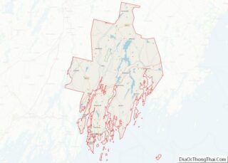
Boothbay Harbor location map. Where is Boothbay Harbor CDP?
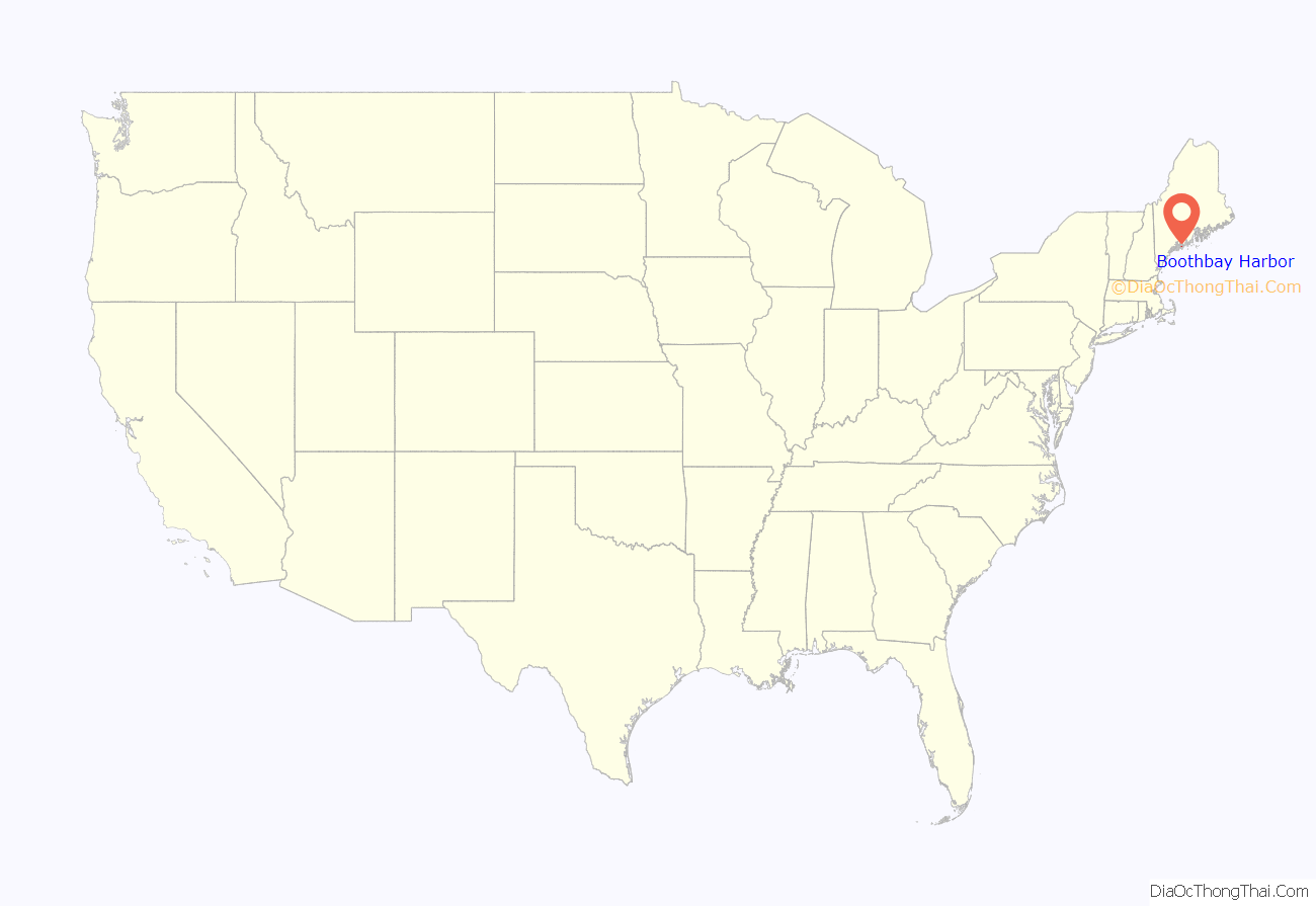
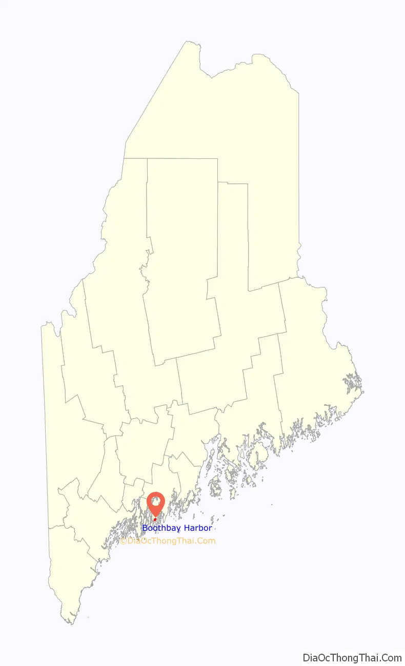
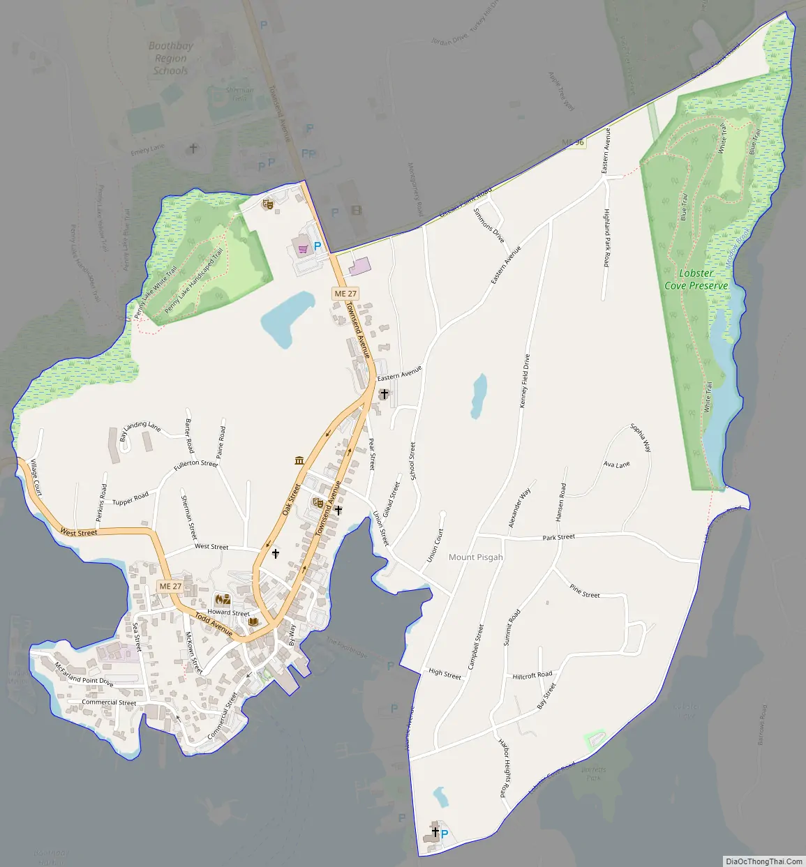
Boothbay Harbor Road Map
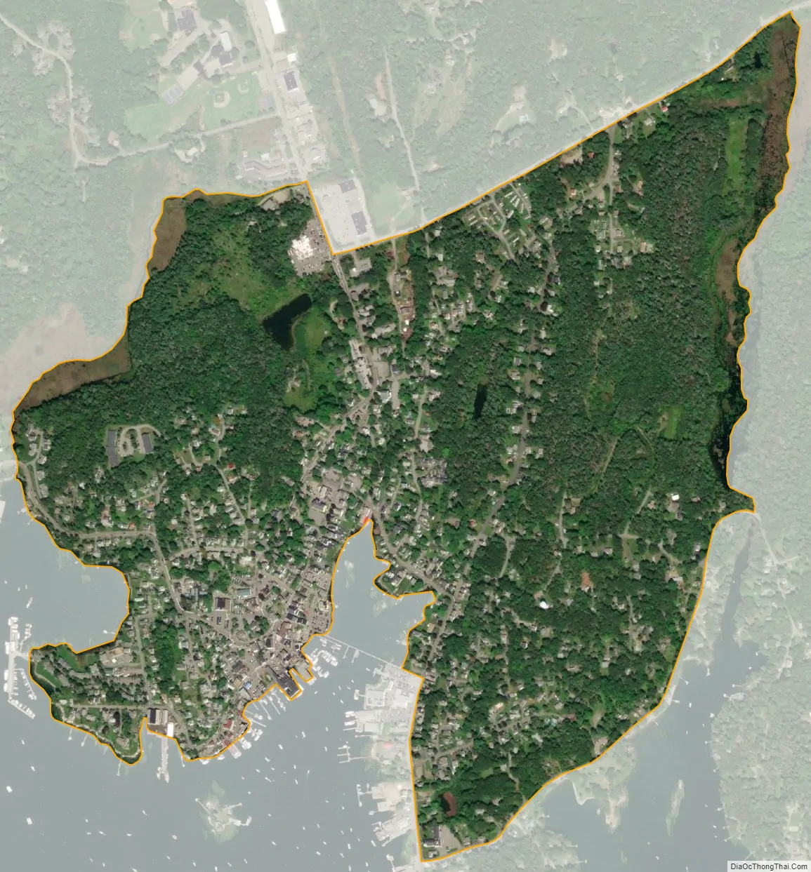
Boothbay Harbor city Satellite Map
Geography
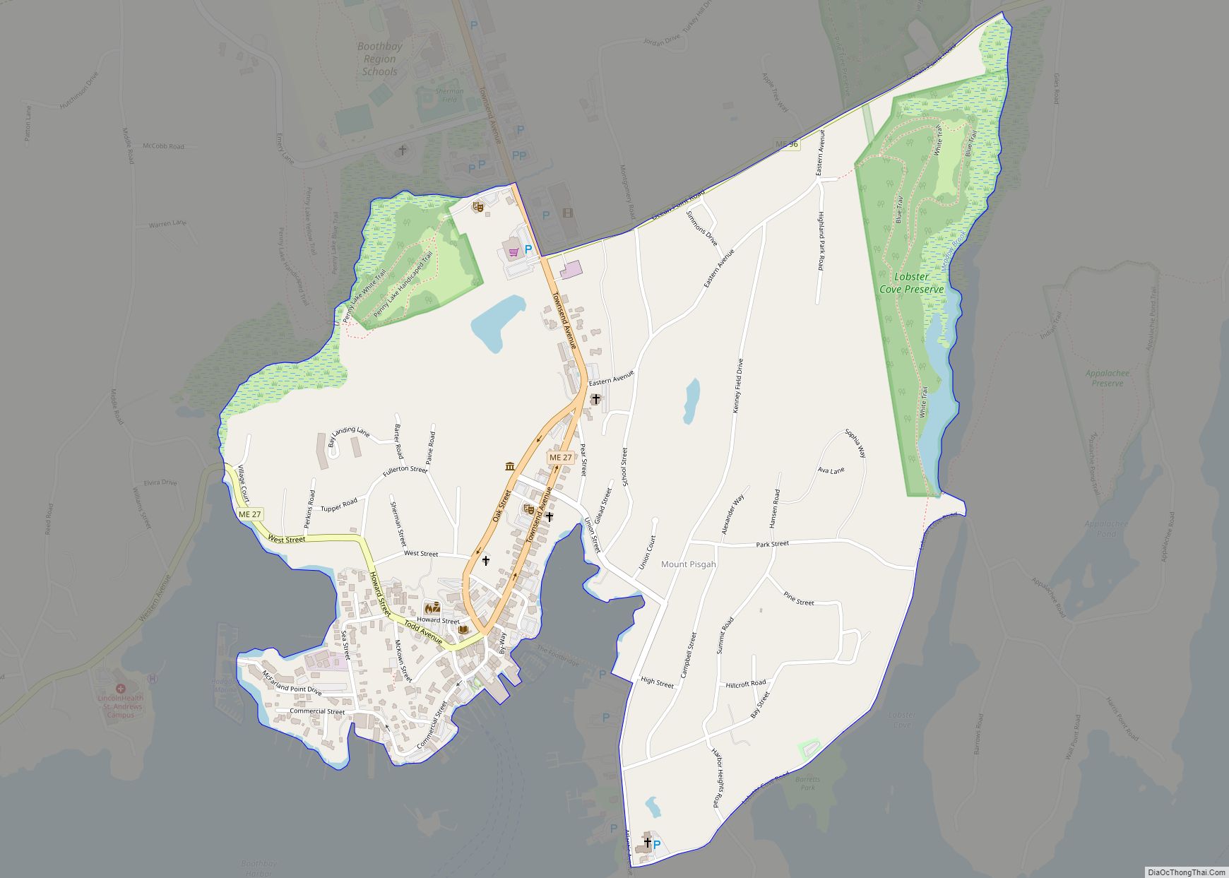
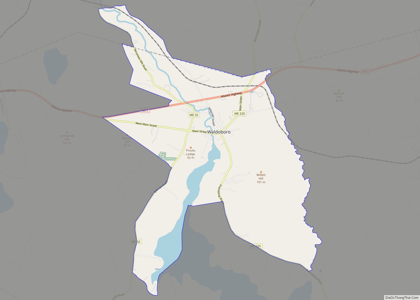
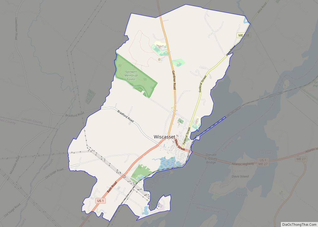
The Boothbay Harbor CDP is located in the east-central part of the town of Boothbay Harbor at 43°51′10″N 69°37′27″W / 43.85278°N 69.62417°W / 43.85278; -69.62417 (43.852819, −69.624271), in southwestern Lincoln County. The CDP is bordered to the south by the water body of Boothbay Harbor, an inlet off the Gulf of Maine, and to the southwest by Mill Cove, an arm of Boothbay Harbor. To the northwest the CDP is bordered by the inlet stream of Mill Cove, running northeast to Maine State Route 27. To the northeast the CDP is bordered by Maine State Route 96 (Ocean Point Road) and to the east it extends to Meadow Brook. Lobster Cove Road forms the southeast extent of the CDP. Via Route 27, Boothbay Harbor is 13 miles (21 km) south of Wiscasset.
According to the United States Census Bureau, the CDP has a total area of 0.85 square miles (2.2 km), all land.
See also
Map of Maine State and its subdivision: Map of other states:- Alabama
- Alaska
- Arizona
- Arkansas
- California
- Colorado
- Connecticut
- Delaware
- District of Columbia
- Florida
- Georgia
- Hawaii
- Idaho
- Illinois
- Indiana
- Iowa
- Kansas
- Kentucky
- Louisiana
- Maine
- Maryland
- Massachusetts
- Michigan
- Minnesota
- Mississippi
- Missouri
- Montana
- Nebraska
- Nevada
- New Hampshire
- New Jersey
- New Mexico
- New York
- North Carolina
- North Dakota
- Ohio
- Oklahoma
- Oregon
- Pennsylvania
- Rhode Island
- South Carolina
- South Dakota
- Tennessee
- Texas
- Utah
- Vermont
- Virginia
- Washington
- West Virginia
- Wisconsin
- Wyoming