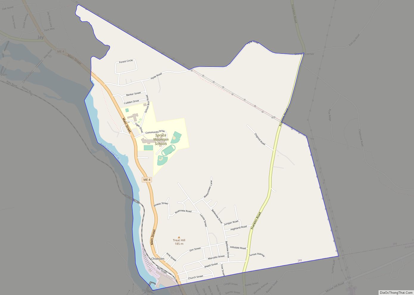
Chisholm is a census-designated place (CDP) in the town of Jay in Franklin County, Maine, United States. The population was 1,380 at the 2010 census. It is an industrial village named for Hugh J. Chisholm, who built the Otis Falls Pulp & Paper Company here in 1888 to use Androscoggin River water power.
| Name: | Chisholm CDP |
|---|---|
| LSAD Code: | 57 |
| LSAD Description: | CDP (suffix) |
| State: | Maine |
| County: | Franklin County |
| Elevation: | 394 ft (120 m) |
| Total Area: | 2.27 sq mi (5.87 km²) |
| Land Area: | 2.19 sq mi (5.66 km²) |
| Water Area: | 0.08 sq mi (0.21 km²) |
| Total Population: | 1,343 |
| Population Density: | 614.36/sq mi (237.23/km²) |
| Area code: | 207 |
| FIPS code: | 2312770 |
| GNISfeature ID: | 0563957 |
Online Interactive Map
Click on ![]() to view map in "full screen" mode.
to view map in "full screen" mode.
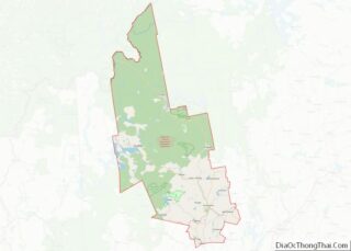
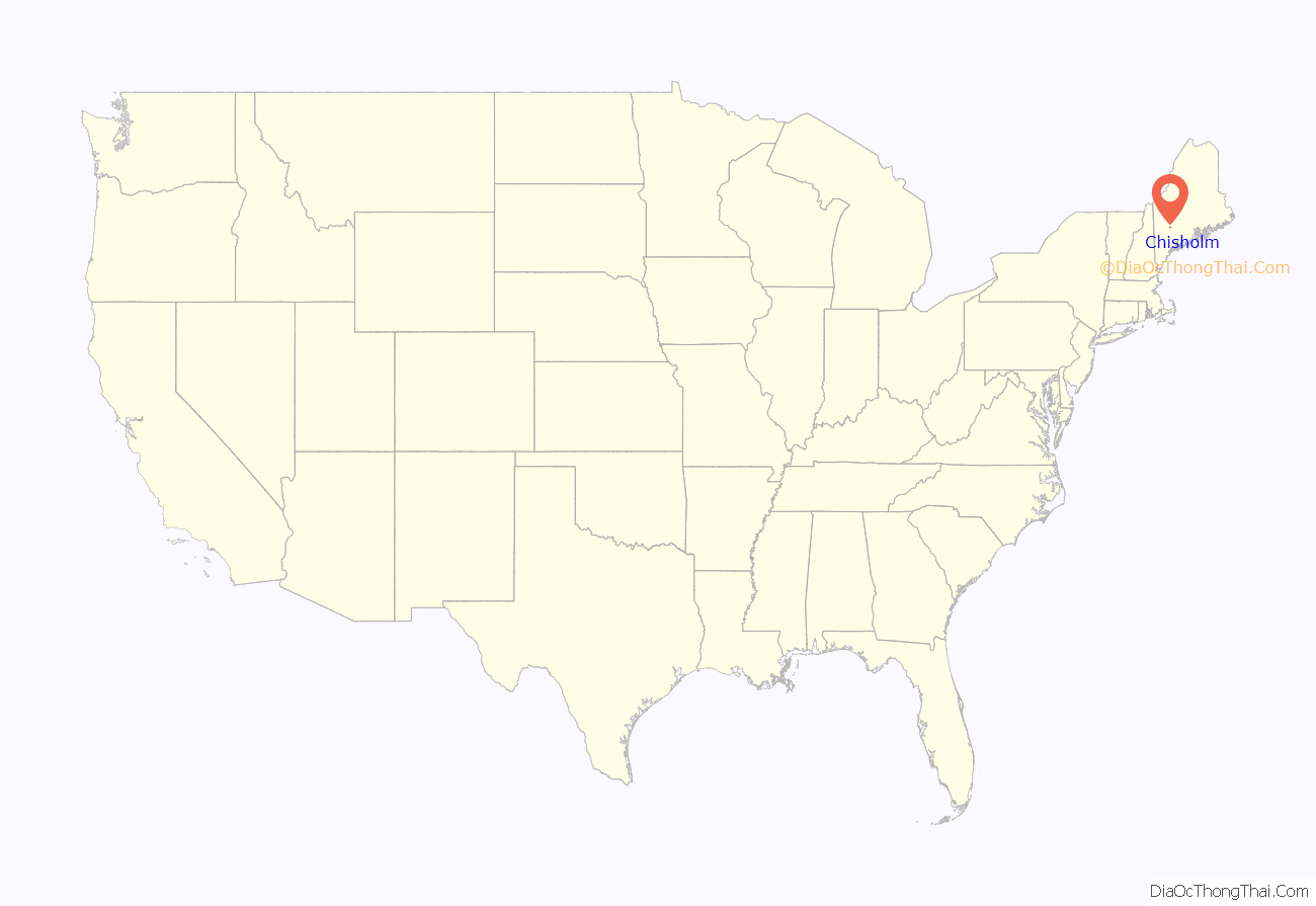
Chisholm location map. Where is Chisholm CDP?
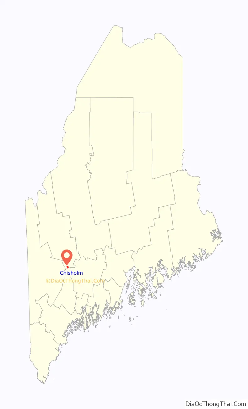
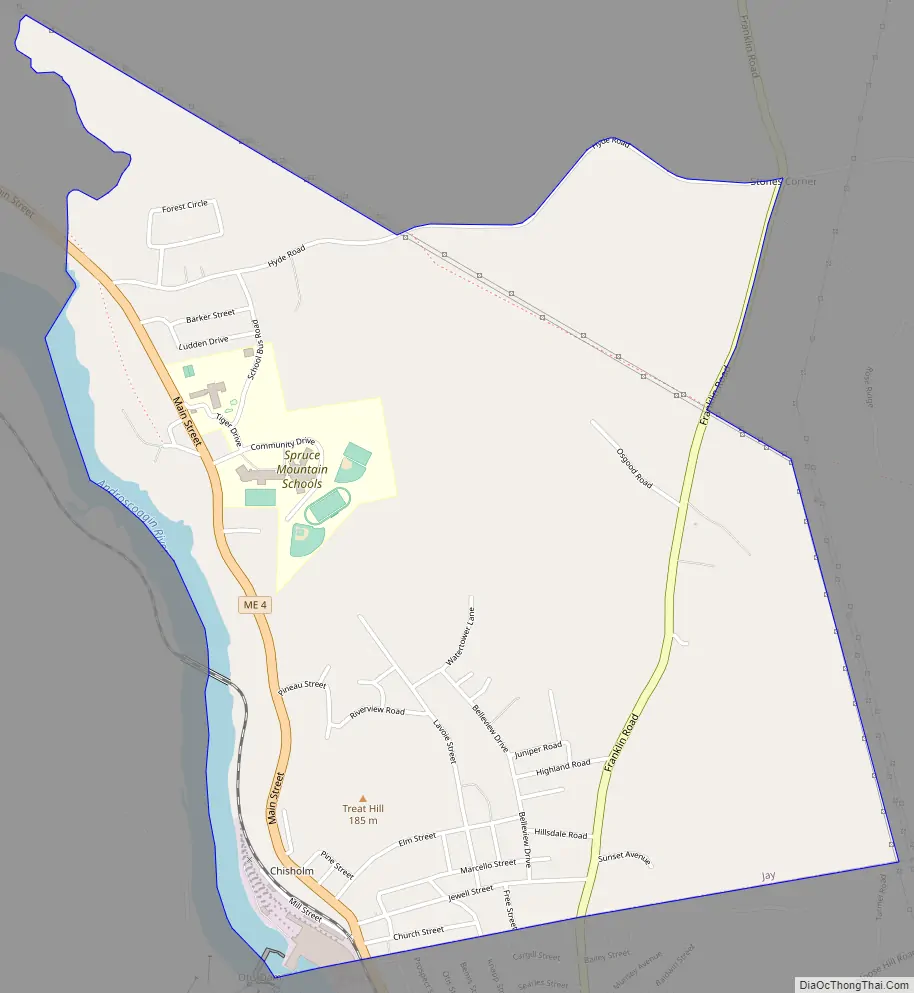
Chisholm Road Map
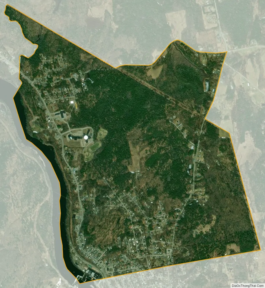
Chisholm city Satellite Map
Geography
Chisholm is located along the southern edge of the town of Jay at 44°29′12″N 70°11′42″W / 44.48667°N 70.19500°W / 44.48667; -70.19500 (44.486532, -70.195040). It is bordered to the south by the town of Livermore Falls in Androscoggin and is contiguous with that town’s urban core.
According to the United States Census Bureau, the Chisholm CDP has a total area of 2.19 square miles (5.66 km), all of it land. It is located on the east side of the Androscoggin River.
See also
Map of Maine State and its subdivision: Map of other states:- Alabama
- Alaska
- Arizona
- Arkansas
- California
- Colorado
- Connecticut
- Delaware
- District of Columbia
- Florida
- Georgia
- Hawaii
- Idaho
- Illinois
- Indiana
- Iowa
- Kansas
- Kentucky
- Louisiana
- Maine
- Maryland
- Massachusetts
- Michigan
- Minnesota
- Mississippi
- Missouri
- Montana
- Nebraska
- Nevada
- New Hampshire
- New Jersey
- New Mexico
- New York
- North Carolina
- North Dakota
- Ohio
- Oklahoma
- Oregon
- Pennsylvania
- Rhode Island
- South Carolina
- South Dakota
- Tennessee
- Texas
- Utah
- Vermont
- Virginia
- Washington
- West Virginia
- Wisconsin
- Wyoming