Dover-Foxcroft is a census-designated place (CDP) in the town of Dover-Foxcroft in Piscataquis County, Maine, United States. The population was 2,592 at the 2000 census.
| Name: | Dover-Foxcroft CDP |
|---|---|
| LSAD Code: | 57 |
| LSAD Description: | CDP (suffix) |
| State: | Maine |
| County: | Piscataquis County |
| Elevation: | 361 ft (110 m) |
| Total Area: | 8.61 sq mi (22.30 km²) |
| Land Area: | 8.38 sq mi (21.71 km²) |
| Water Area: | 0.23 sq mi (0.59 km²) |
| Total Population: | 2,776 |
| Population Density: | 331.23/sq mi (127.89/km²) |
| ZIP code: | 04426 |
| Area code: | 207 |
| FIPS code: | 2318230 |
| GNISfeature ID: | 0565250 |
Online Interactive Map
Click on ![]() to view map in "full screen" mode.
to view map in "full screen" mode.
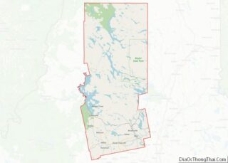
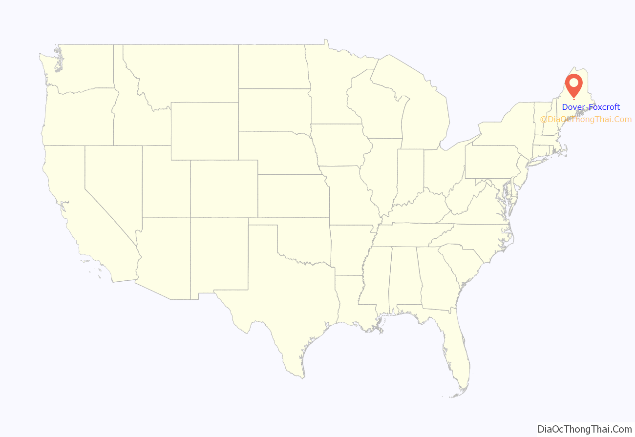
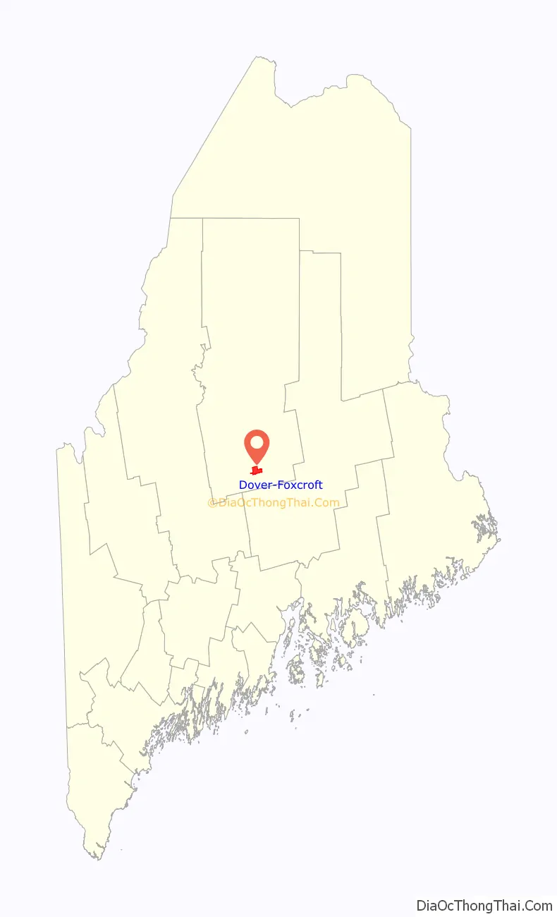
Dover-Foxcroft location map. Where is Dover-Foxcroft CDP?
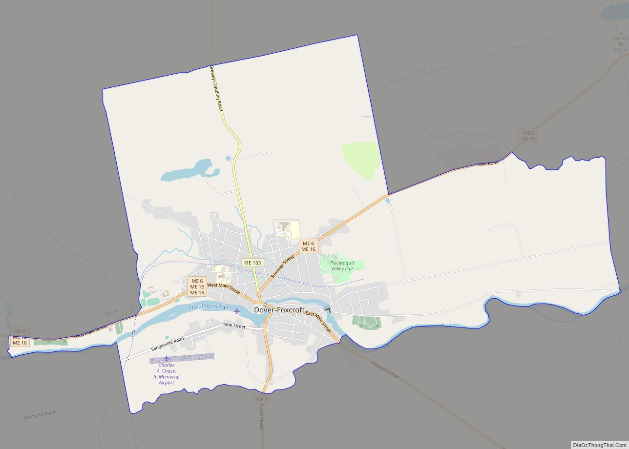
Dover-Foxcroft Road Map
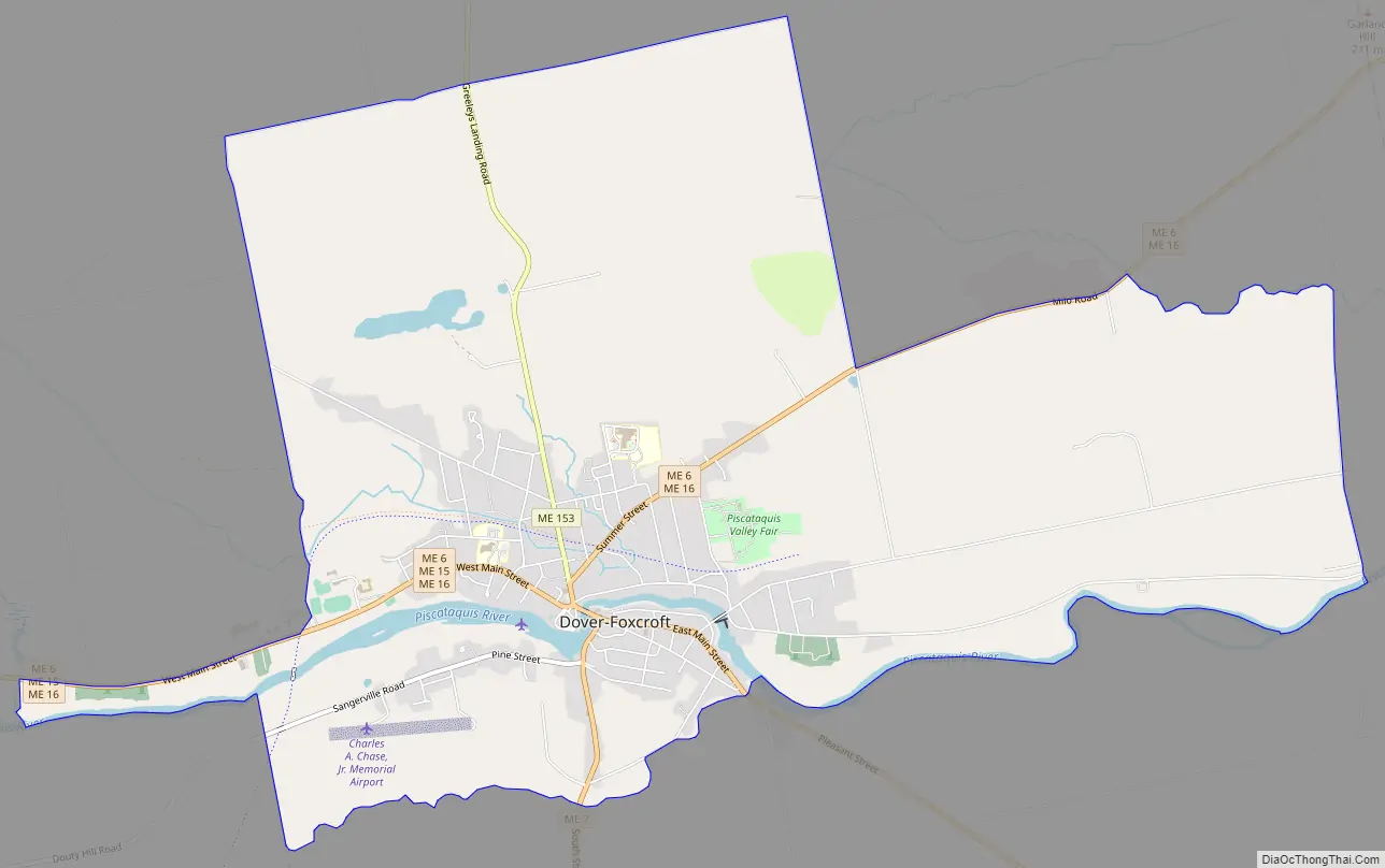
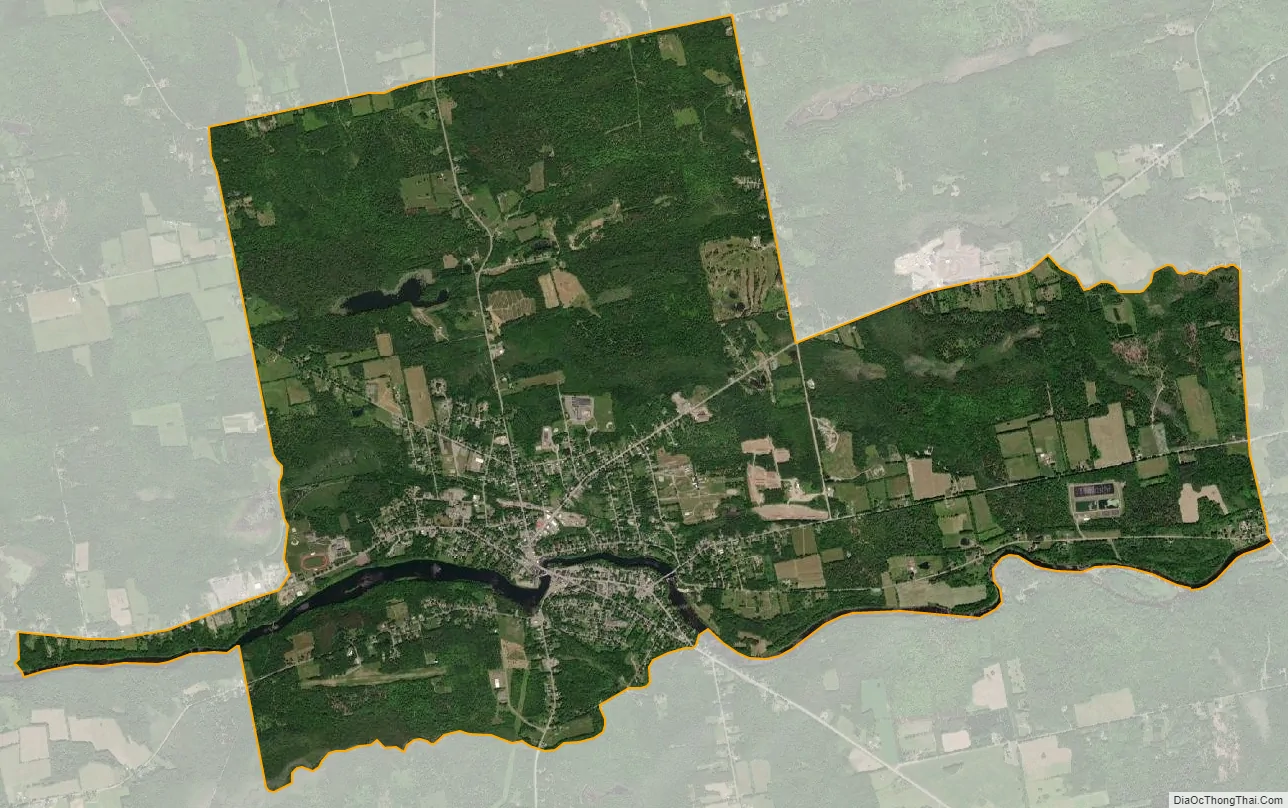
Dover-Foxcroft city Satellite Map
Geography
Dover-Foxcroft is located at 45°11′10″N 69°13′45″W / 45.18611°N 69.22917°W / 45.18611; -69.22917 (45.186372, −69.229193).
According to the United States Census Bureau, the CDP has a total area of 8.6 square miles (22.3 km), of which, 8.4 square miles (21.8 km) of it is land and 0.2 square miles (0.5 km) of it (2.21%) is water.
See also
Map of Maine State and its subdivision: Map of other states:- Alabama
- Alaska
- Arizona
- Arkansas
- California
- Colorado
- Connecticut
- Delaware
- District of Columbia
- Florida
- Georgia
- Hawaii
- Idaho
- Illinois
- Indiana
- Iowa
- Kansas
- Kentucky
- Louisiana
- Maine
- Maryland
- Massachusetts
- Michigan
- Minnesota
- Mississippi
- Missouri
- Montana
- Nebraska
- Nevada
- New Hampshire
- New Jersey
- New Mexico
- New York
- North Carolina
- North Dakota
- Ohio
- Oklahoma
- Oregon
- Pennsylvania
- Rhode Island
- South Carolina
- South Dakota
- Tennessee
- Texas
- Utah
- Vermont
- Virginia
- Washington
- West Virginia
- Wisconsin
- Wyoming