Farmington is a census-designated place (CDP) comprising the center of the town of Farmington, which is the county seat of Franklin County in Maine, United States. The population of the CDP was 4,288 at the 2010 census, out of 7,760 people in the town as a whole. The University of Maine at Farmington is located within the CDP.
| Name: | Farmington CDP |
|---|---|
| LSAD Code: | 57 |
| LSAD Description: | CDP (suffix) |
| State: | Maine |
| County: | Franklin County |
| Elevation: | 413 ft (126 m) |
| Total Area: | 4.04 sq mi (10.48 km²) |
| Land Area: | 4.04 sq mi (10.45 km²) |
| Water Area: | 0.01 sq mi (0.03 km²) |
| Total Population: | 4,168 |
| Population Density: | 1,032.96/sq mi (398.79/km²) |
| ZIP code: | 04938 |
| Area code: | 207 |
| FIPS code: | 2324740 |
| GNISfeature ID: | 0566054 |
Online Interactive Map
Click on ![]() to view map in "full screen" mode.
to view map in "full screen" mode.
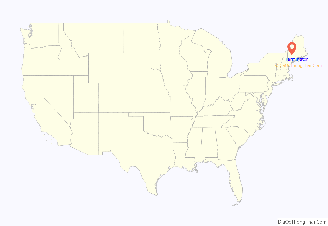
Farmington location map. Where is Farmington CDP?
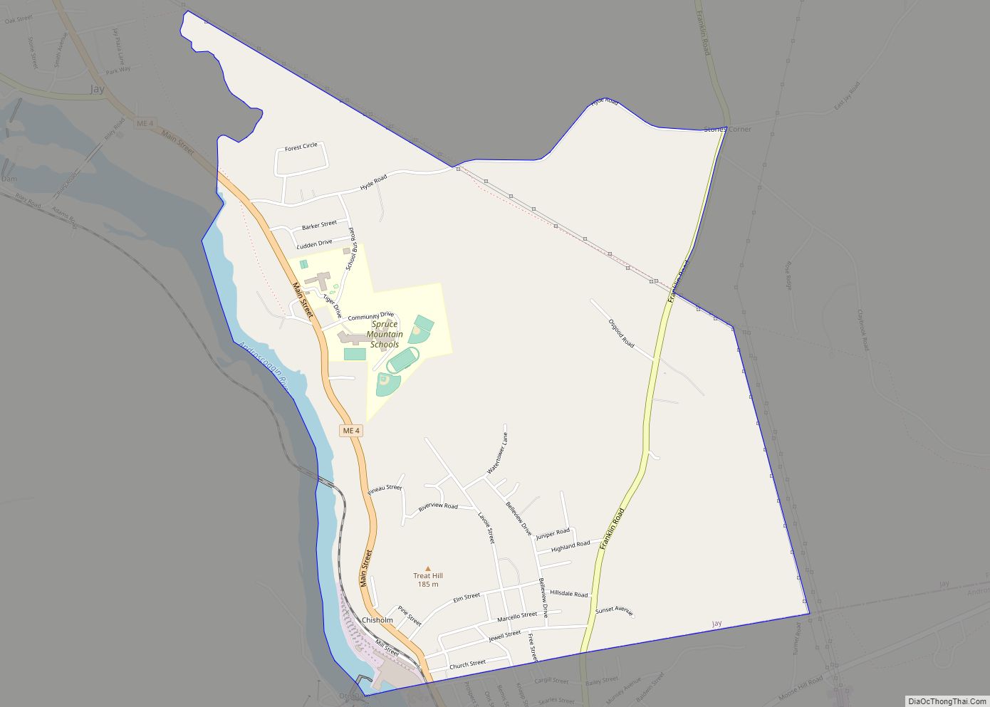
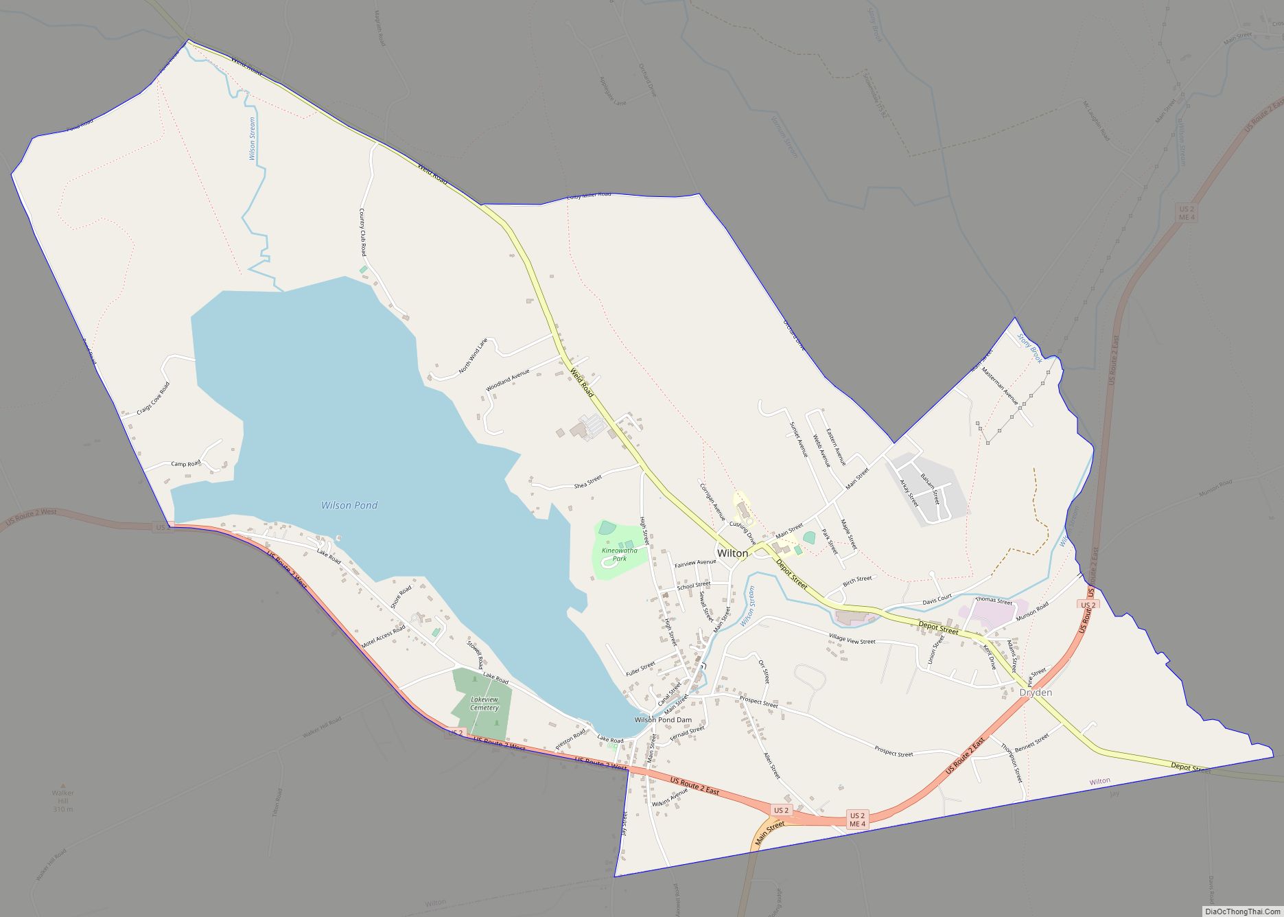
Farmington Road Map
Farmington city Satellite Map
Geography
The Farmington CDP is located at the geographic center of the town of Farmington, at 44°40′11″N 70°8′46″W / 44.66972°N 70.14611°W / 44.66972; -70.14611 (44.669885, −70.146322). U.S. Route 2 passes through the southern part of the CDP, leading east 27 miles (43 km) to Skowhegan and west 30 miles (48 km) to Rumford. Maine State Route 4 runs through the center of the CDP, leading northwest 40 miles (64 km) to Rangeley and south 46 miles (74 km) to Lewiston. Maine State Route 27 also runs through the center of town, following ME 4 out of town to the north and US 2 out of town to the southeast; ME 27 leads north 72 miles (116 km) to the Canada–US border at Coburn Gore and southeast 37 miles (60 km) to Augusta, the state capital.
According to the United States Census Bureau, the Farmington CDP has a total area of 4.05 square miles (10.48 km), of which 4.03 square miles (10.45 km) is land and 0.01 square miles (0.03 km), or 0.24%, is water. The Sandy River, a tributary of the Kennebec River, flows from north to south through the western side of the CDP. West Farmington, a neighborhood included within the CDP, is on the west side of the river, across from the town center, connected by a bridge on US 2. Temple Stream joins the Sandy River from the west in the southwest part of the CDP.
See also
Map of Maine State and its subdivision: Map of other states:- Alabama
- Alaska
- Arizona
- Arkansas
- California
- Colorado
- Connecticut
- Delaware
- District of Columbia
- Florida
- Georgia
- Hawaii
- Idaho
- Illinois
- Indiana
- Iowa
- Kansas
- Kentucky
- Louisiana
- Maine
- Maryland
- Massachusetts
- Michigan
- Minnesota
- Mississippi
- Missouri
- Montana
- Nebraska
- Nevada
- New Hampshire
- New Jersey
- New Mexico
- New York
- North Carolina
- North Dakota
- Ohio
- Oklahoma
- Oregon
- Pennsylvania
- Rhode Island
- South Carolina
- South Dakota
- Tennessee
- Texas
- Utah
- Vermont
- Virginia
- Washington
- West Virginia
- Wisconsin
- Wyoming


