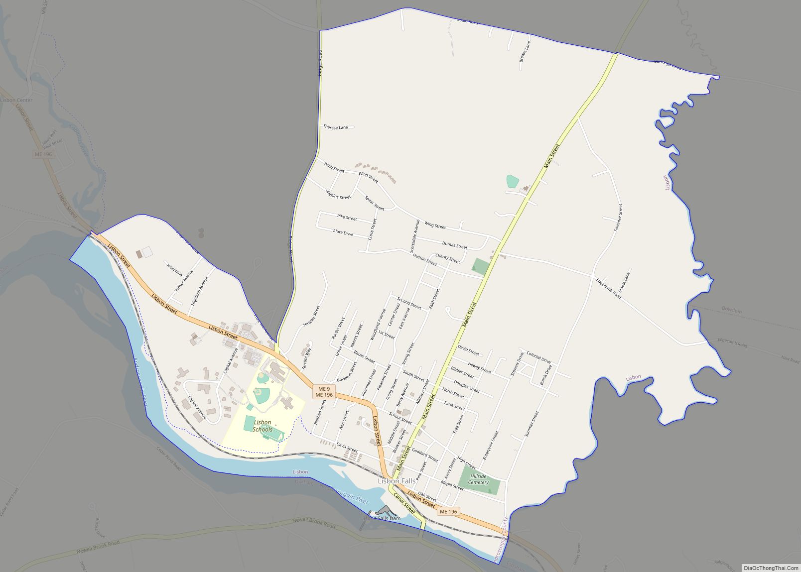
Lisbon Falls is a census-designated place (CDP) in the town of Lisbon, located in Androscoggin County, Maine, United States. The population of Lisbon Falls was 4,100 at the 2010 census. It is included in both the Lewiston–Auburn, Maine, metropolitan statistical area and the Lewiston-Auburn, Maine, Metropolitan New England city and town area.
| Name: | Lisbon Falls CDP |
|---|---|
| LSAD Code: | 57 |
| LSAD Description: | CDP (suffix) |
| State: | Maine |
| County: | Androscoggin County |
| Elevation: | 112 ft (34 m) |
| Total Area: | 3.87 sq mi (10.02 km²) |
| Land Area: | 3.68 sq mi (9.53 km²) |
| Water Area: | 0.19 sq mi (0.49 km²) |
| Total Population: | 4,182 |
| Population Density: | 1,136.72/sq mi (438.87/km²) |
| ZIP code: | 04252 |
| Area code: | 207 |
| FIPS code: | 2340105 |
| GNISfeature ID: | 0569645 |
Online Interactive Map
Click on ![]() to view map in "full screen" mode.
to view map in "full screen" mode.
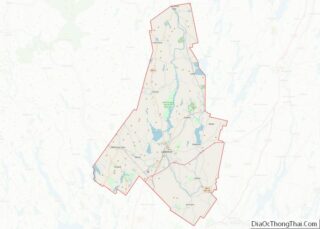
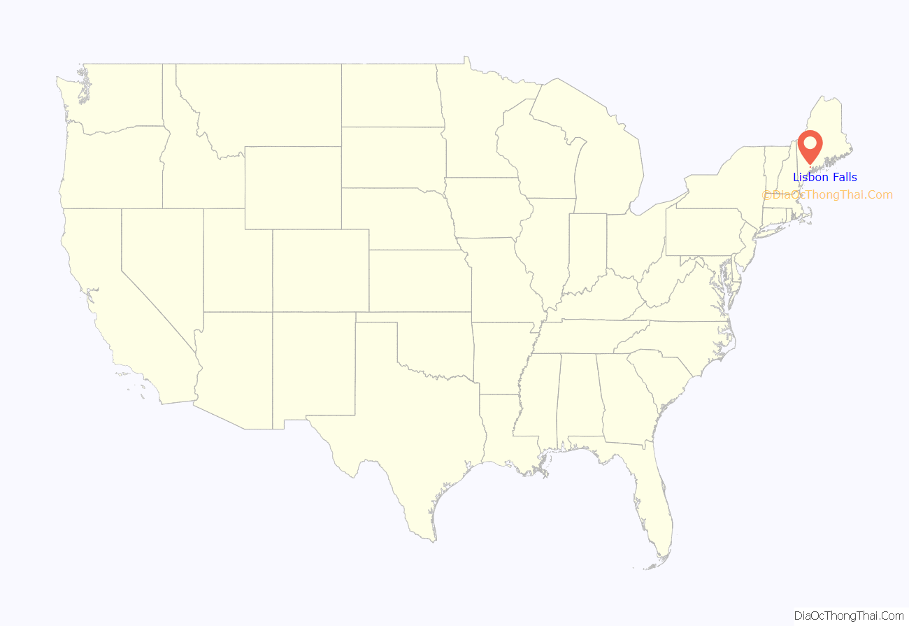
Lisbon Falls location map. Where is Lisbon Falls CDP?
History
Abenaki Indians called the falls Anmecangin, meaning “much fish”. The area was once part of Little River Plantation, a portion of which was incorporated in 1799 as Thompsonborough, then renamed in 1802 after Lisbon, Portugal. In 1806, Lisbon annexed the remainder of Little River Plantation. With water power from the Androscoggin River, Lisbon Falls became a small mill town. Before it burned down in 1987, the Worumbo Mill was the main mill in Lisbon Falls. It had been incorporated in 1864, and was world-famous for its woolens. Especially well known were its vicuña wool products, which became famous when President Eisenhower’s Chief of Staff, Sherman Adams, received a vicuna sport coat as a gift from a wealthy industrialist and had to resign due to the resulting scandal. The town’s primary employment was at a gypsum mill, which closed in 2009. Another large employer is Bath Iron Works, in nearby Bath, Maine.
The town is famous for its Moxie Days, a celebration of the soft drink Moxie, which is sold at Frank Anicetti’s corner store. The store’s official name is the Kennebec Fruit Company, but it is commonly referred to as The Moxie Store and is recognizable by its bright yellow paint job. Moxie Days in Lisbon Falls is attended by thousands from around the world each summer.
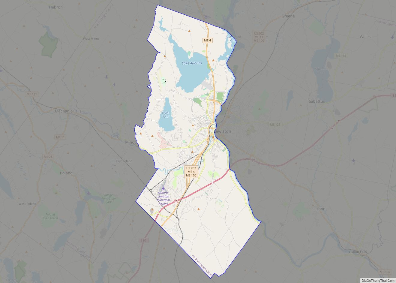
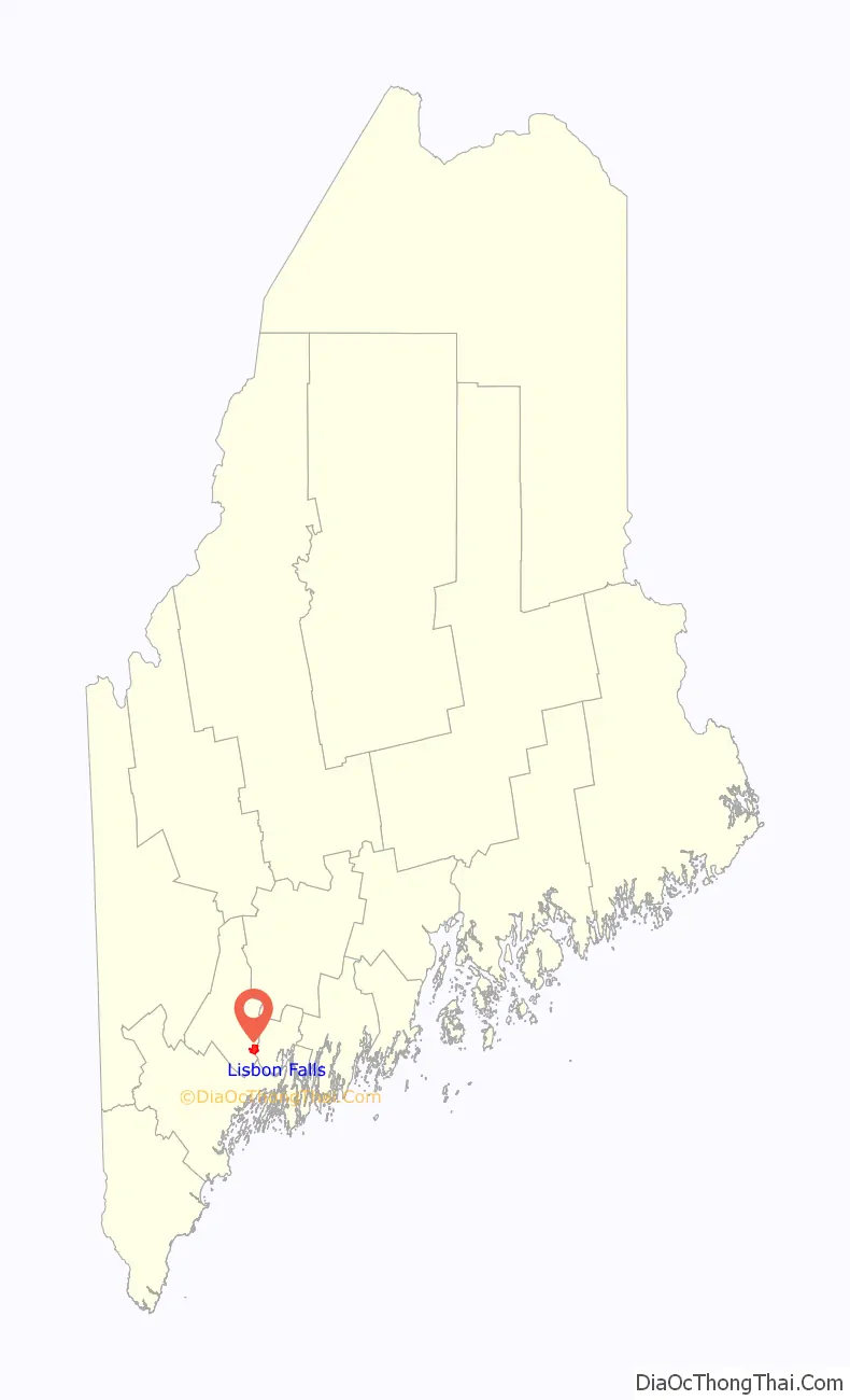
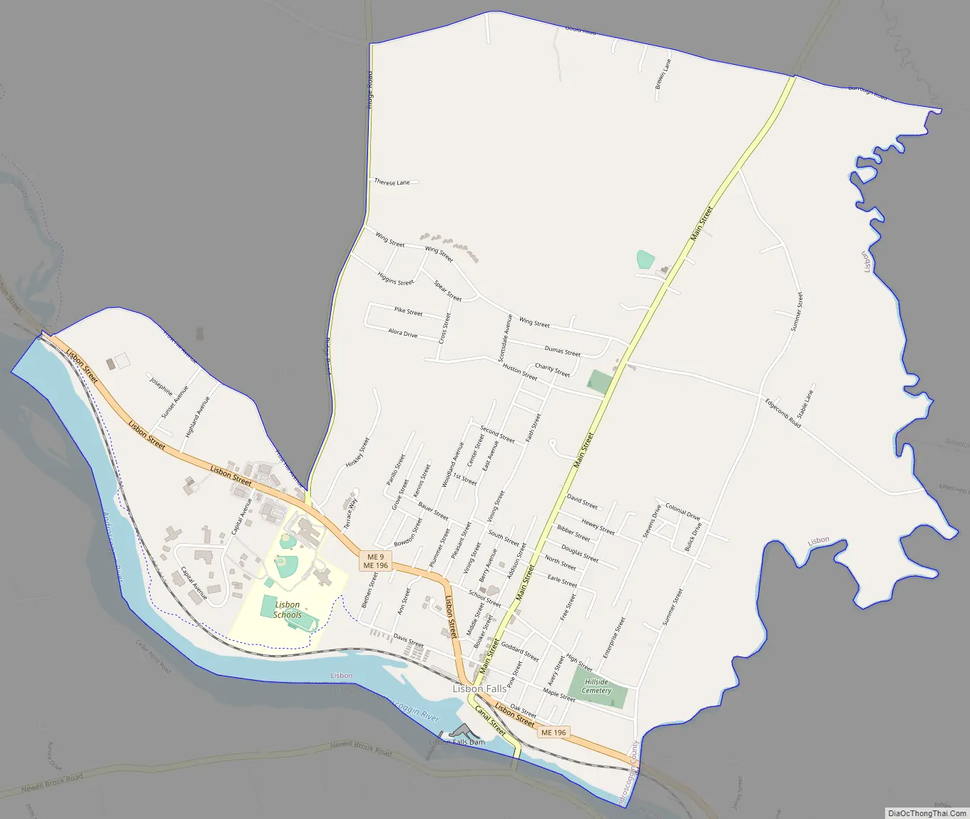
Lisbon Falls Road Map
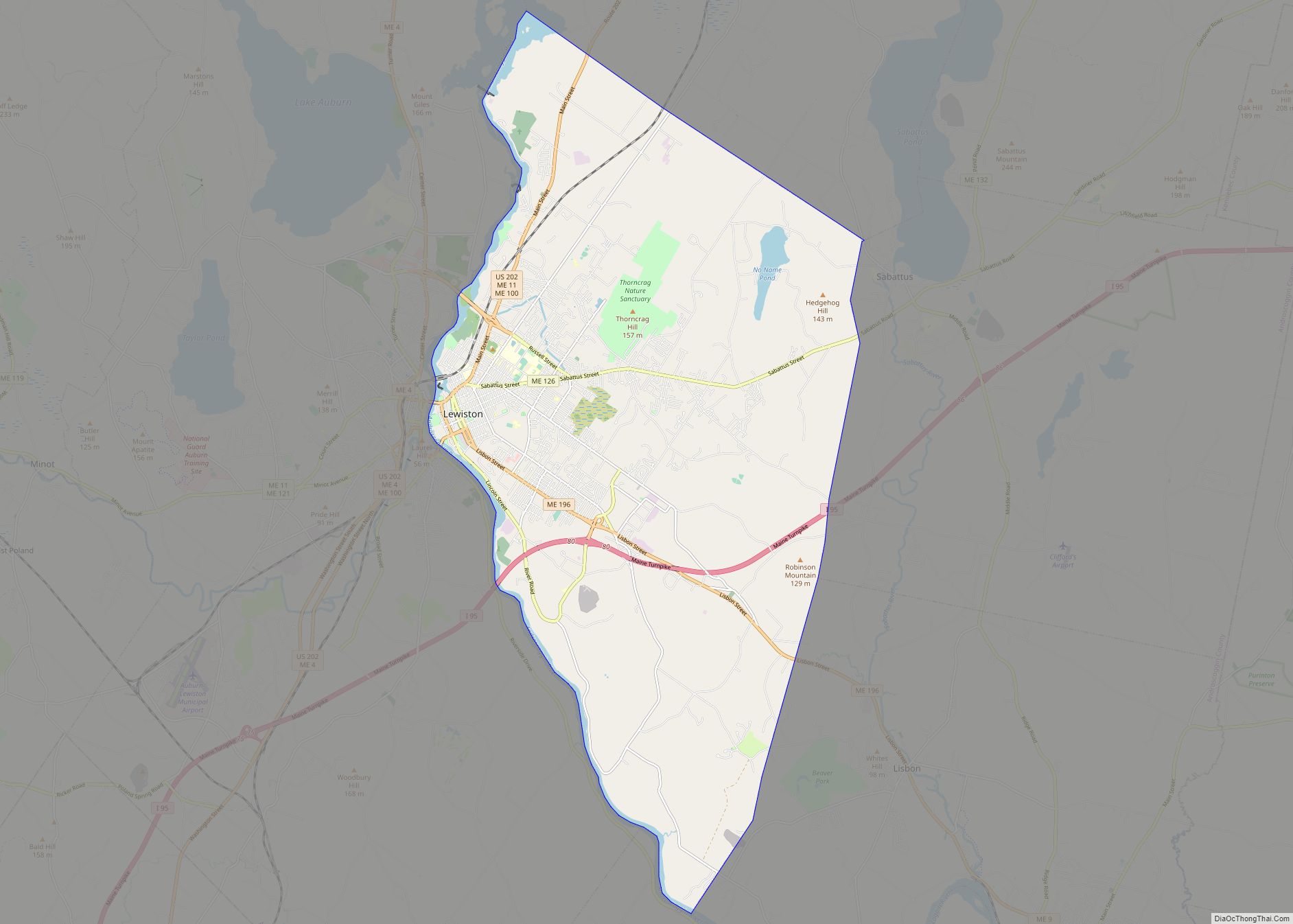
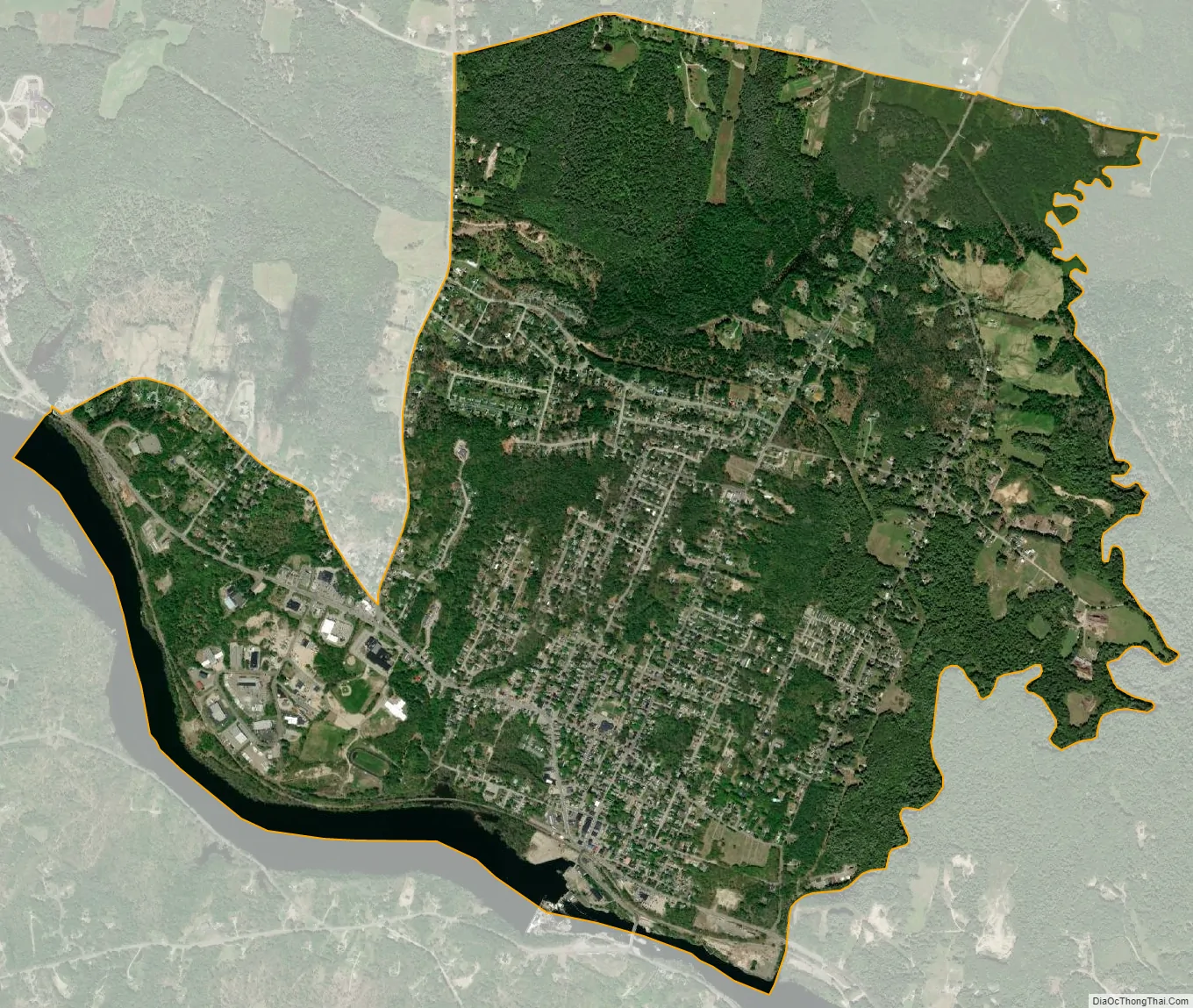
Lisbon Falls city Satellite Map
Geography
Lisbon Falls is located at 44°0′8″N 70°3′36″W / 44.00222°N 70.06000°W / 44.00222; -70.06000 (44.002177, -70.060102).
According to the United States Census Bureau, the CDP has a total area of 3.9 square miles (10.0 km), of which 3.7 square miles (9.5 km) is land and 0.19 square miles (0.5 km), or 4.87%, is water. Lisbon Falls is drained by the Androscoggin River and the Little River.
Climate
This climatic region is typified by large seasonal temperature differences, with warm to hot (and often humid) summers and cold (sometimes severely cold) winters. According to the Köppen Climate Classification system, Lisbon Falls has a humid continental climate, abbreviated “Dfb” on climate maps.
See also
Map of Maine State and its subdivision: Map of other states:- Alabama
- Alaska
- Arizona
- Arkansas
- California
- Colorado
- Connecticut
- Delaware
- District of Columbia
- Florida
- Georgia
- Hawaii
- Idaho
- Illinois
- Indiana
- Iowa
- Kansas
- Kentucky
- Louisiana
- Maine
- Maryland
- Massachusetts
- Michigan
- Minnesota
- Mississippi
- Missouri
- Montana
- Nebraska
- Nevada
- New Hampshire
- New Jersey
- New Mexico
- New York
- North Carolina
- North Dakota
- Ohio
- Oklahoma
- Oregon
- Pennsylvania
- Rhode Island
- South Carolina
- South Dakota
- Tennessee
- Texas
- Utah
- Vermont
- Virginia
- Washington
- West Virginia
- Wisconsin
- Wyoming