South Paris is a census-designated place (CDP) located within the town of Paris in Oxford County, Maine, in the United States. The population was 2,237 at the 2000 census. While the CDP refers only to the densely settled area in the southern part of the town of Paris, the entire town, outside of Paris Hill, is located within the South Paris ZIP code, resulting in many residents referring to the entire town as South Paris.
| Name: | South Paris CDP |
|---|---|
| LSAD Code: | 57 |
| LSAD Description: | CDP (suffix) |
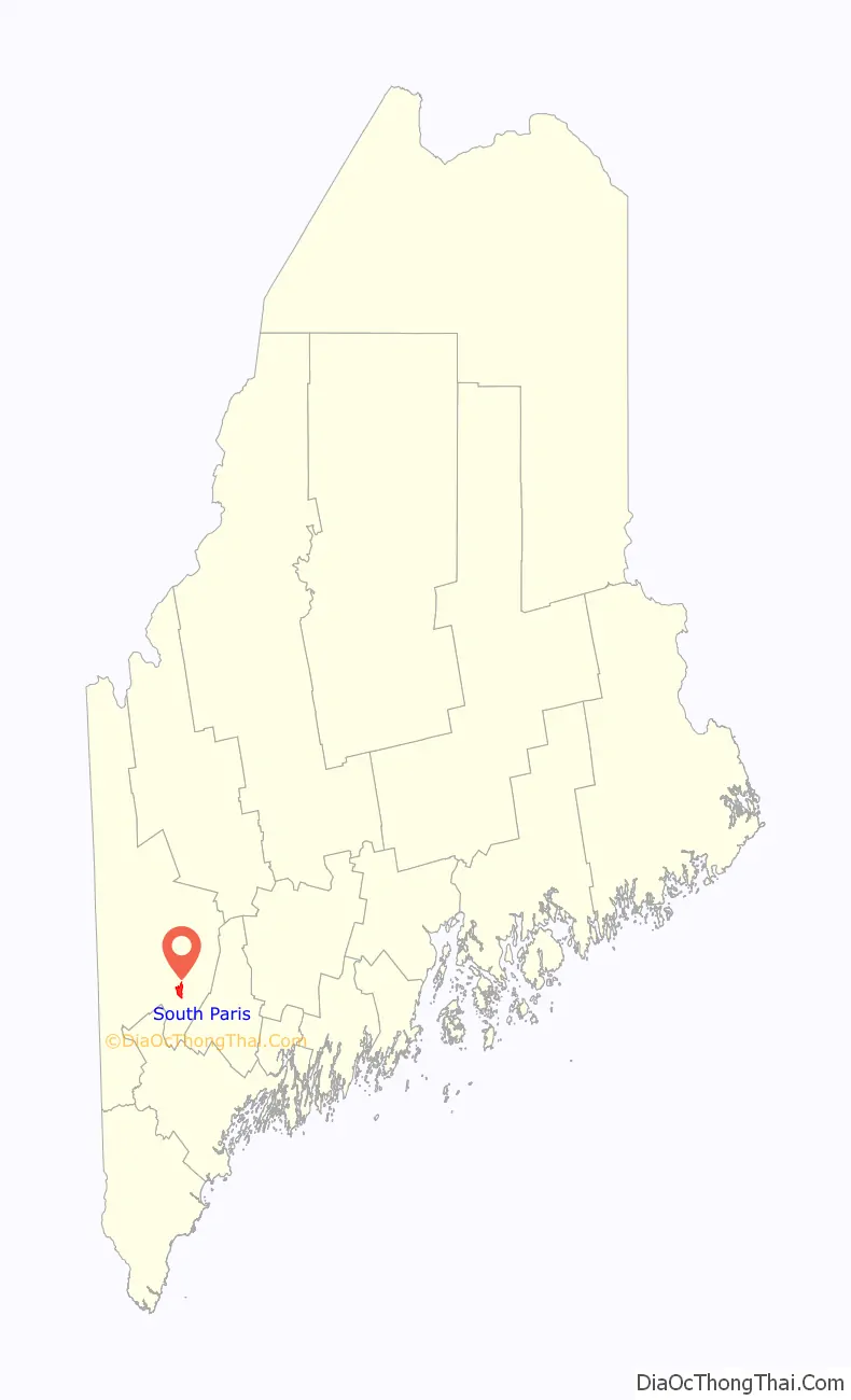
| State: | Maine |
| County: | Oxford County |
| Elevation: | 387 ft (118 m) |
| Total Area: | 3.95 sq mi (10.23 km²) |
| Land Area: | 3.88 sq mi (10.04 km²) |
| Water Area: | 0.07 sq mi (0.19 km²) |
| Total Population: | 2,183 |
| Population Density: | 563.21/sq mi (217.46/km²) |
| ZIP code: | 04281 |
| Area code: | 207 |
| FIPS code: | 2371780 |
| GNISfeature ID: | 0575877 |
Online Interactive Map
Click on ![]() to view map in "full screen" mode.
to view map in "full screen" mode.
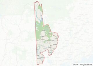
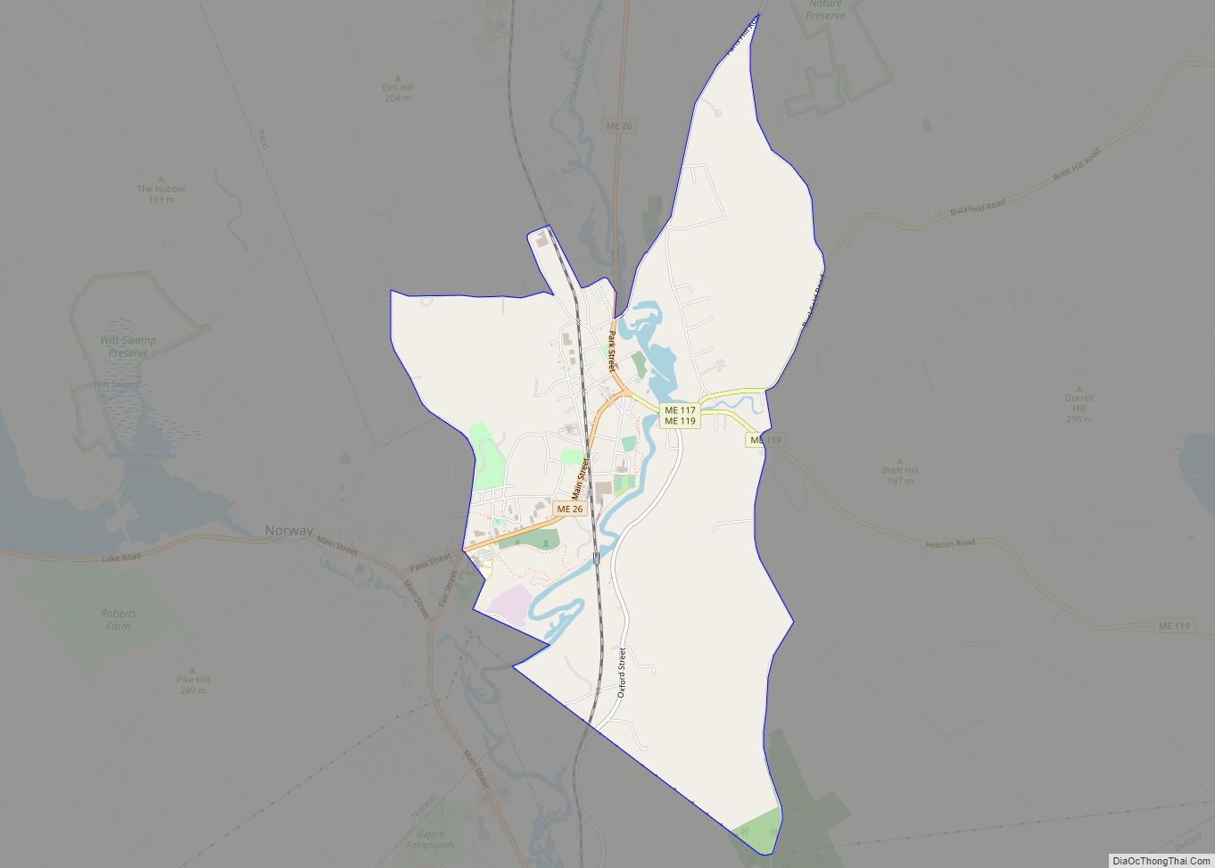
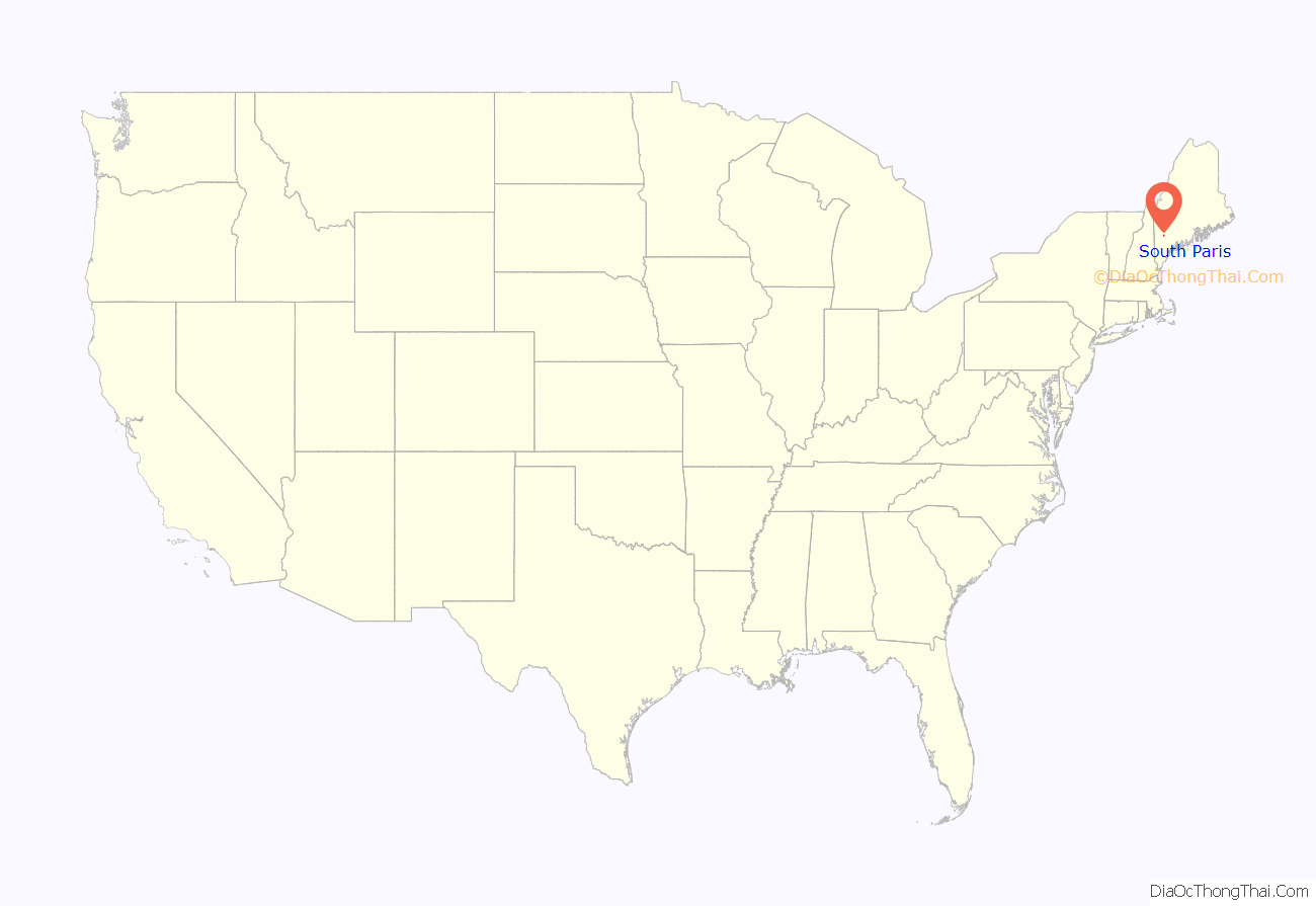
South Paris location map. Where is South Paris CDP?
History
During the 19th-century, the Little Androscoggin River provided water power to operate mills in South Paris, and the village grew up around them. The opening of the Atlantic and St. Lawrence Railroad on June 8, 1850 further spurred development of the small mill town. In the 1890s, the Oxford County Courthouse moved from Paris Hill to be near the Grand Trunk Railway station. Much of the manufacturing and industry faded with the Great Depression, but South Paris remains the commercial section of Paris, and retains much of its Victorian era architecture. Oxford Hills Comprehensive High School, the regional high school, was founded in South Paris in 1961. Actress Reta Shaw was born in South Paris in 1912.
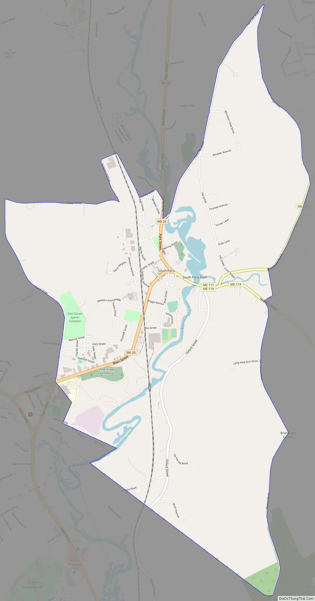
South Paris Road Map
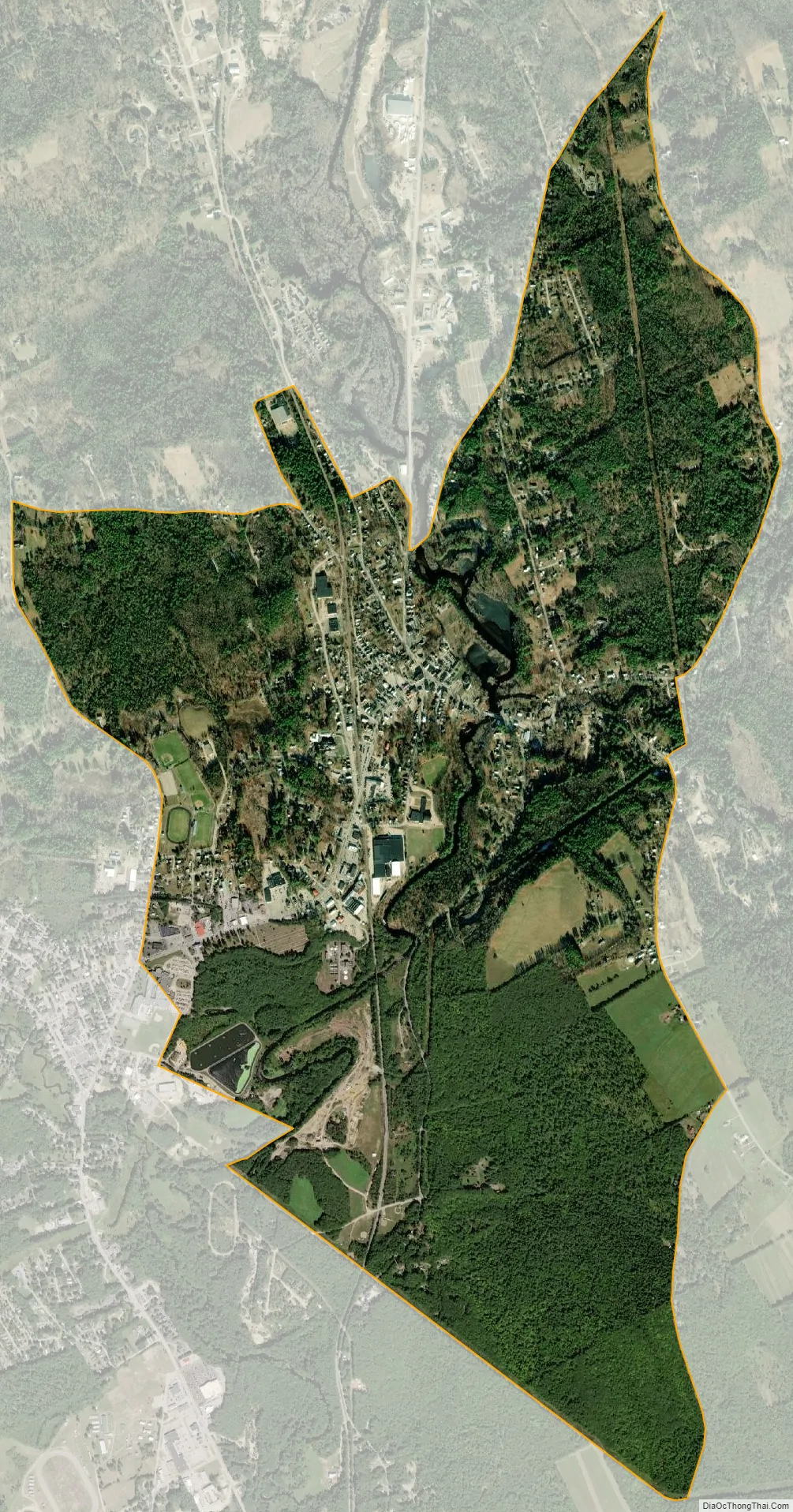
South Paris city Satellite Map
Geography
South Paris is located at 44°13′18″N 70°30′53″W / 44.22167°N 70.51472°W / 44.22167; -70.51472 (44.221609, -70.514603).
According to the United States Census Bureau, the CDP has a total area of 4.0 square miles (10.2 km), of which, 3.9 square miles (10.0 km) of it is land and 0.1 square miles (0.2 km) of it (2.03%) is water. South Paris is drained by the Little Androscoggin River.
The town is crossed by Maine State Route 26, 117, 118 and 119. The town has a small park, Moore Park, with a new, fenced in playground for children to play in. Moore Park no longer has a water fountain, but there is a monument in the center with a gazebo to one side for public events.
See also
Map of Maine State and its subdivision: Map of other states:- Alabama
- Alaska
- Arizona
- Arkansas
- California
- Colorado
- Connecticut
- Delaware
- District of Columbia
- Florida
- Georgia
- Hawaii
- Idaho
- Illinois
- Indiana
- Iowa
- Kansas
- Kentucky
- Louisiana
- Maine
- Maryland
- Massachusetts
- Michigan
- Minnesota
- Mississippi
- Missouri
- Montana
- Nebraska
- Nevada
- New Hampshire
- New Jersey
- New Mexico
- New York
- North Carolina
- North Dakota
- Ohio
- Oklahoma
- Oregon
- Pennsylvania
- Rhode Island
- South Carolina
- South Dakota
- Tennessee
- Texas
- Utah
- Vermont
- Virginia
- Washington
- West Virginia
- Wisconsin
- Wyoming