Winterport is a census-designated place (CDP) in the town of Winterport in Waldo County, Maine, United States. The population was 1,307 at the 2000 census.
| Name: | Winterport CDP |
|---|---|
| LSAD Code: | 57 |
| LSAD Description: | CDP (suffix) |
| State: | Maine |
| County: | Waldo County |
| Elevation: | 167 ft (51 m) |
| Total Area: | 6.55 sq mi (16.96 km²) |
| Land Area: | 5.80 sq mi (15.01 km²) |
| Water Area: | 0.75 sq mi (1.95 km²) |
| Total Population: | 1,355 |
| Population Density: | 233.78/sq mi (90.26/km²) |
| ZIP code: | 04496 |
| Area code: | 207 |
| FIPS code: | 2386725 |
| GNISfeature ID: | 2377969 |
Online Interactive Map
Click on ![]() to view map in "full screen" mode.
to view map in "full screen" mode.
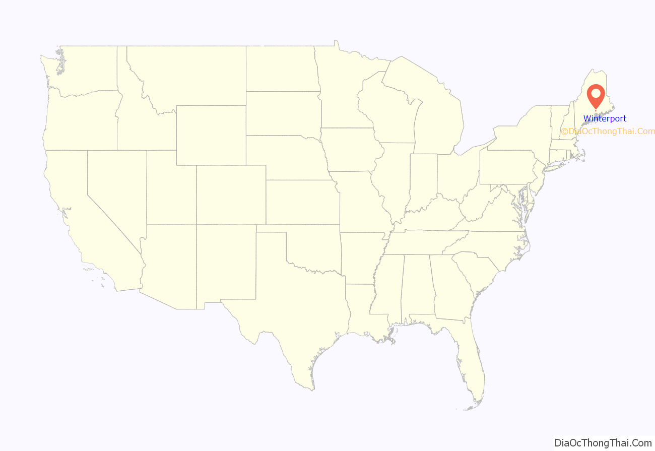
Winterport location map. Where is Winterport CDP?
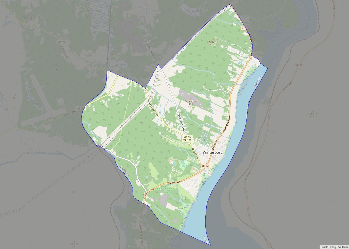
Winterport Road Map
Winterport city Satellite Map
Geography
Winterport is located at 44°38′22″N 68°51′4″W / 44.63944°N 68.85111°W / 44.63944; -68.85111 (44.639586, −68.851219).
According to the United States Census Bureau, the CDP has a total area of 6.6 mi (17.0 km). 5.8 mi (15.0 km) of it is land and 0.8 mi (1.9 km) of it (11.45%) is water.
Winterport lies in the northeastern corner of Waldo County, along the Penobscot River across from Hancock County. It is located in the southeastern corner of the town, along the border with Frankfort to the south and Bucksport to the east. Within the central village of the CDP are community locations such as Wagner Middle School, Abbott Park, and the town offices. U.S. Route 1 is Winterport’s main street.
The Winterport Historic District, encompassing a significant portion of the town center, was listed on the National Register of Historic Places in 1975.
See also
Map of Maine State and its subdivision: Map of other states:- Alabama
- Alaska
- Arizona
- Arkansas
- California
- Colorado
- Connecticut
- Delaware
- District of Columbia
- Florida
- Georgia
- Hawaii
- Idaho
- Illinois
- Indiana
- Iowa
- Kansas
- Kentucky
- Louisiana
- Maine
- Maryland
- Massachusetts
- Michigan
- Minnesota
- Mississippi
- Missouri
- Montana
- Nebraska
- Nevada
- New Hampshire
- New Jersey
- New Mexico
- New York
- North Carolina
- North Dakota
- Ohio
- Oklahoma
- Oregon
- Pennsylvania
- Rhode Island
- South Carolina
- South Dakota
- Tennessee
- Texas
- Utah
- Vermont
- Virginia
- Washington
- West Virginia
- Wisconsin
- Wyoming
