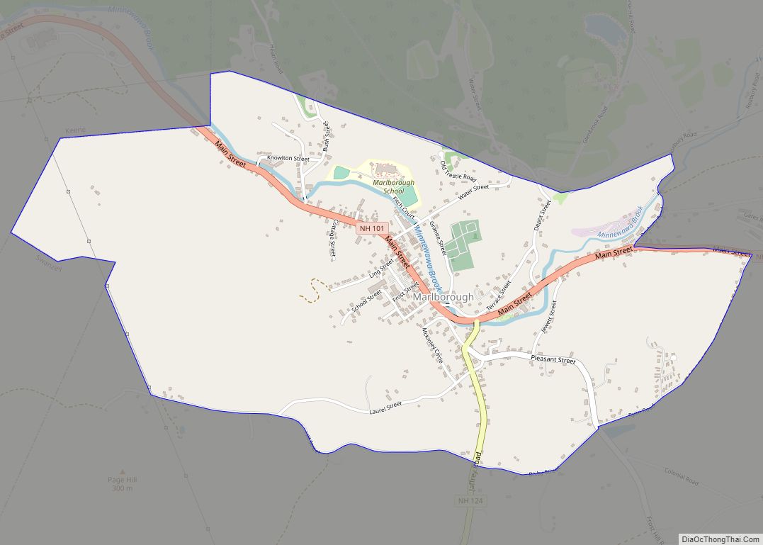
Marlborough is a census-designated place (CDP) and the main village in the town of Marlborough in Cheshire County, New Hampshire, United States. The population of the CDP was 1,066 at the 2020 census, out of 2,096 in the entire town.
| Name: | Marlborough CDP |
|---|---|
| LSAD Code: | 57 |
| LSAD Description: | CDP (suffix) |
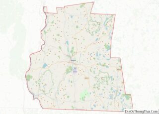
| State: | New Hampshire |
| County: | Cheshire County |
| Elevation: | 800.5 ft (244.0 m) |
| Total Area: | 1.69 sq mi (4.37 km²) |
| Land Area: | 1.69 sq mi (4.37 km²) |
| Water Area: | 0.00 sq mi (0.00 km²) |
| Total Population: | 1,066 |
| Population Density: | 631.89/sq mi (243.99/km²) |
| ZIP code: | 03455 |
| Area code: | 603 |
| FIPS code: | 3345380 |
| GNISfeature ID: | 2378080 |
Online Interactive Map
Click on ![]() to view map in "full screen" mode.
to view map in "full screen" mode.
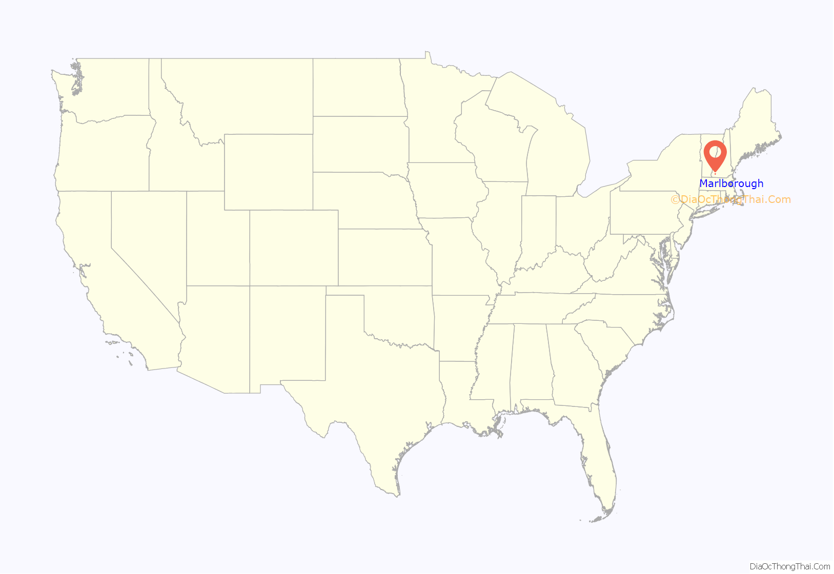
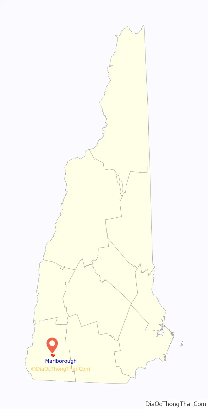
Marlborough location map. Where is Marlborough CDP?
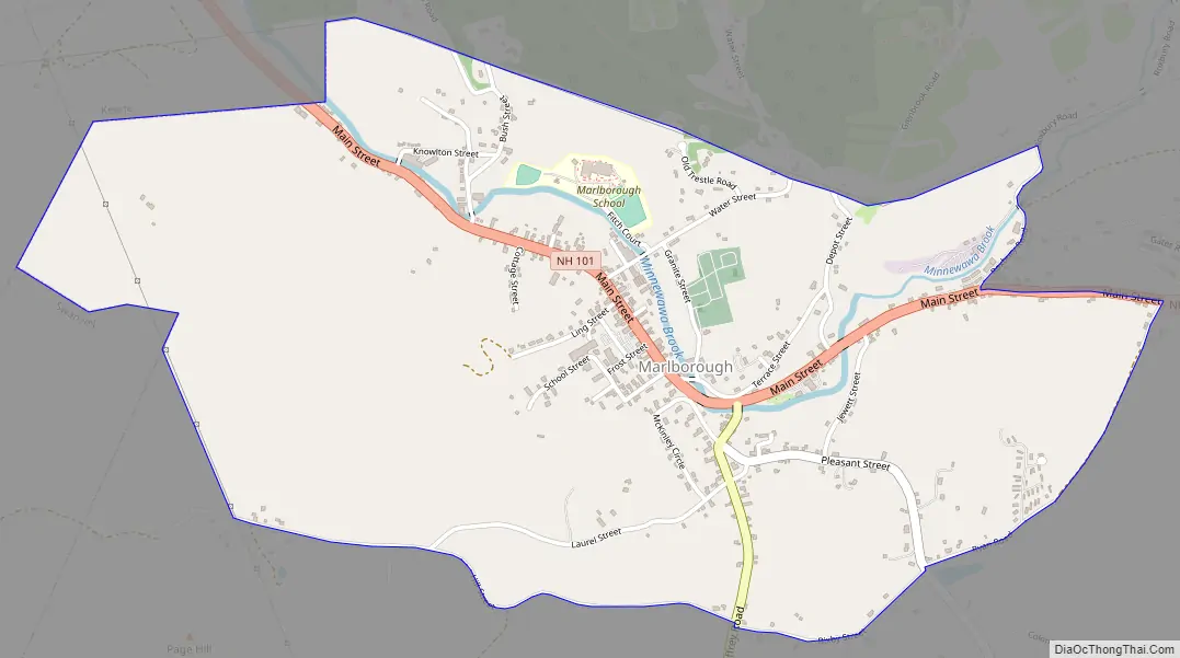
Marlborough Road Map
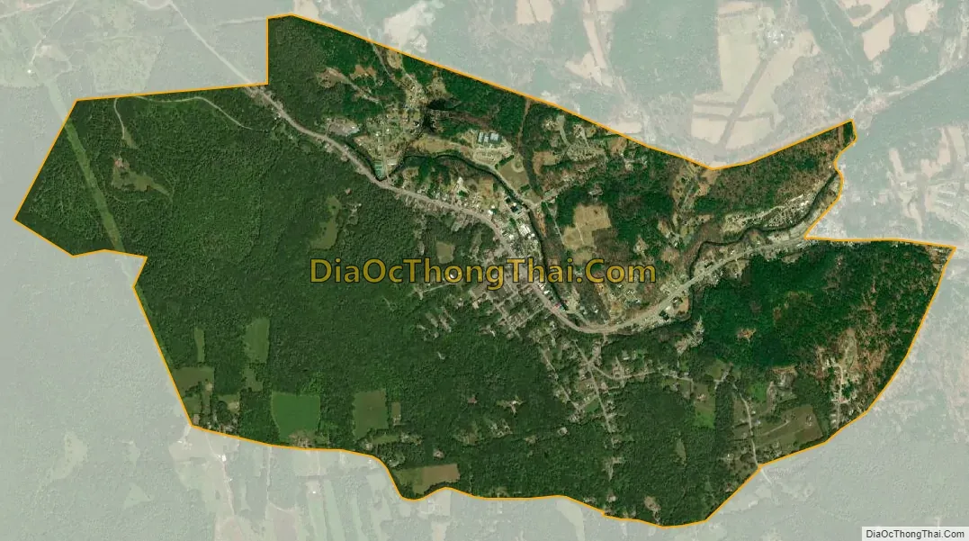
Marlborough city Satellite Map
Geography
The CDP is in the northwestern part of the town of Marlborough, in the valley of Minnewawa Brook, a west-flowing tributary of The Branch and part of the Connecticut River watershed. The CDP is bordered to the northwest by the city of Keene and to the west by the town of Swanzey. The southern border of the CDP follows Laurel Street, Hill Street, Bixby Street, and Ryan Road, to the easternmost extent of the CDP at New Hampshire Route 101. The eastern border of the CDP follows NH 101 and Roxbury Road until north of Minnewawa Brook, and the northern border strikes west to the Keene line near Heath Road.
Route 101 (Marlborough’s Main Street) leads east 15 miles (24 km) to Peterborough and west 5 miles (8 km) to its terminus at Route 9 on the west side of Keene. Route 124 has its western terminus at Route 101 in the center of the CDP, and leads southeast 12 miles (19 km) to Jaffrey.
According to the U.S. Census Bureau, the Marlborough CDP has a total area of 1.7 square miles (4.4 km), all of it recorded as land.
See also
Map of New Hampshire State and its subdivision: Map of other states:- Alabama
- Alaska
- Arizona
- Arkansas
- California
- Colorado
- Connecticut
- Delaware
- District of Columbia
- Florida
- Georgia
- Hawaii
- Idaho
- Illinois
- Indiana
- Iowa
- Kansas
- Kentucky
- Louisiana
- Maine
- Maryland
- Massachusetts
- Michigan
- Minnesota
- Mississippi
- Missouri
- Montana
- Nebraska
- Nevada
- New Hampshire
- New Jersey
- New Mexico
- New York
- North Carolina
- North Dakota
- Ohio
- Oklahoma
- Oregon
- Pennsylvania
- Rhode Island
- South Carolina
- South Dakota
- Tennessee
- Texas
- Utah
- Vermont
- Virginia
- Washington
- West Virginia
- Wisconsin
- Wyoming