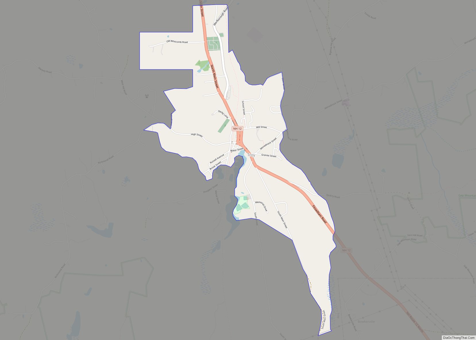
Troy is a census-designated place (CDP) and the main village in the town of Troy in Cheshire County, New Hampshire, United States. The population of the CDP was 1,108 at the 2020 census, compared to 2,130 in the entire town. The center of the CDP is the Troy Village Historic District.
| Name: | Troy CDP |
|---|---|
| LSAD Code: | 57 |
| LSAD Description: | CDP (suffix) |
| State: | New Hampshire |
| County: | Cheshire County |
| Elevation: | 1,014 ft (309 m) |
| Total Area: | 1.28 sq mi (3.30 km²) |
| Land Area: | 1.28 sq mi (3.30 km²) |
| Water Area: | 0.00 sq mi (0.00 km²) |
| Total Population: | 1,108 |
| Population Density: | 868.34/sq mi (335.34/km²) |
| ZIP code: | 03465 |
| Area code: | 603 |
| FIPS code: | 3377300 |
| GNISfeature ID: | 2629742 |
Online Interactive Map
Click on ![]() to view map in "full screen" mode.
to view map in "full screen" mode.
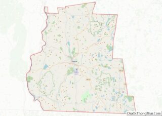
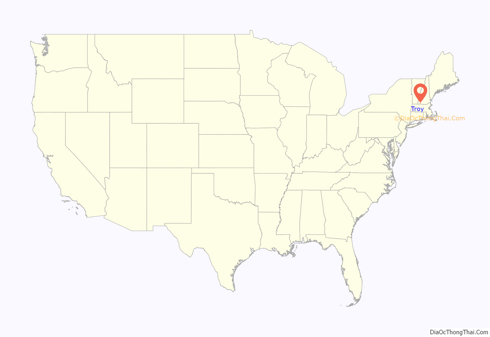
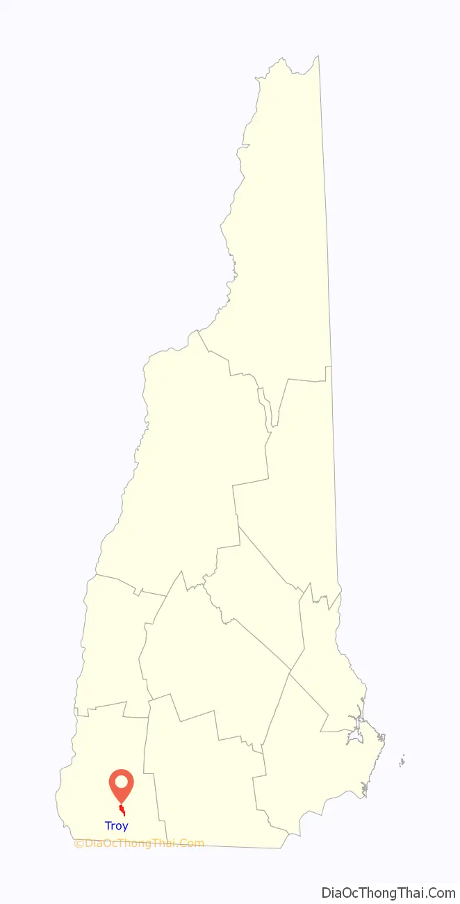
Troy location map. Where is Troy CDP?
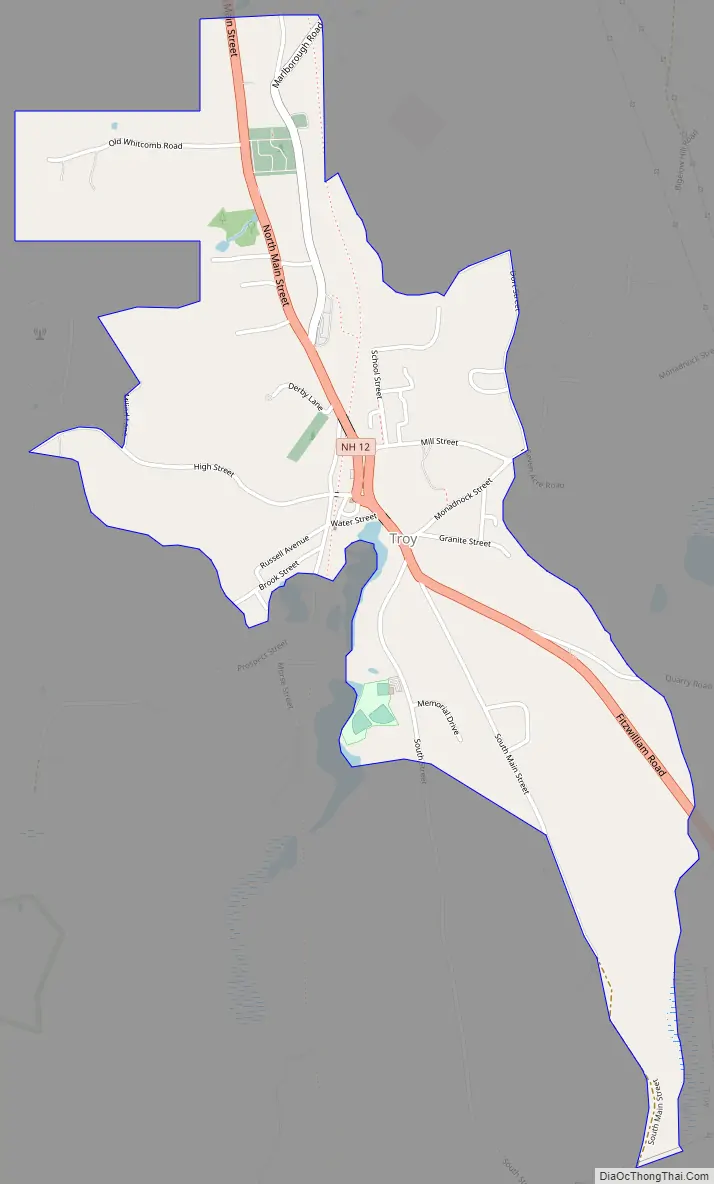
Troy Road Map
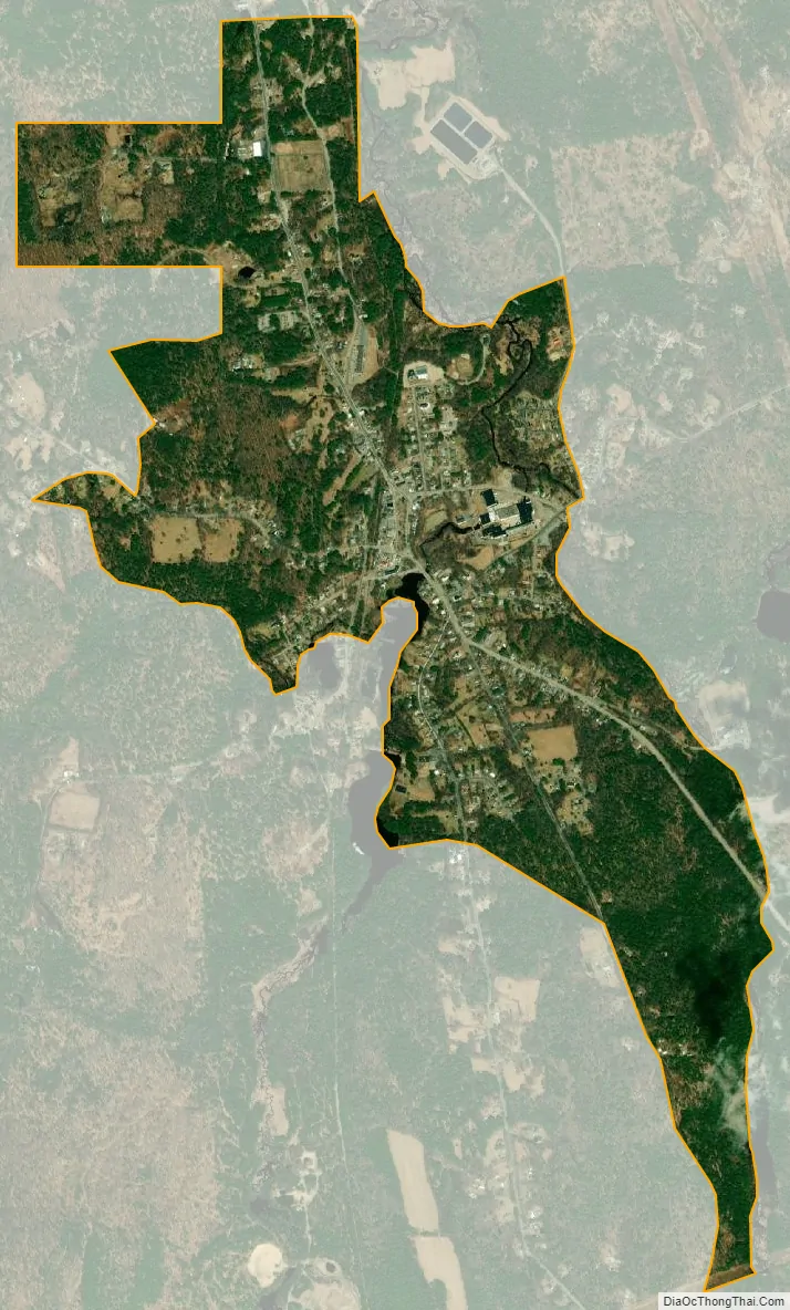
Troy city Satellite Map
Geography
The CDP is in the center of the town of Troy, in the valley of the South Branch Ashuelot River, where it is joined by Rockwood Brook and Nester Brook. It is part of the Connecticut River watershed. The CDP extends north up Marlboro Road as far as its crossing of the South Branch. The west side of the CDP encompasses the residences on Old Whitcomb Road and Deacon’s Lane, then turns down Milind Lane to High Street and Richmond Road. It then turns southeast down an unnamed brook to Nester Brook, which it follows east to Rockwood Brook just south of the village center. The CDP border runs south up Rockwood Brook, then cuts east, south of Memorial Drive, to Main Street (a dead-end road), which it follows south to a power line near the Fitzwilliam town line. The east side of the CDP runs north along the South Branch of the Ashuelot all the way to Monadnock Street near the center of town, then follows Dort Street before cutting back to the South Branch again and the former railroad line back to Marlboro Road.
New Hampshire Route 12 is the main road through the community, leading northwest 9 miles (14 km) to Keene and southeast 12 miles (19 km) to Winchendon, Massachusetts.
According to the U.S. Census Bureau, the Troy CDP has a total area of 1.3 square miles (3.3 km), all of it recorded as land.
See also
Map of New Hampshire State and its subdivision: Map of other states:- Alabama
- Alaska
- Arizona
- Arkansas
- California
- Colorado
- Connecticut
- Delaware
- District of Columbia
- Florida
- Georgia
- Hawaii
- Idaho
- Illinois
- Indiana
- Iowa
- Kansas
- Kentucky
- Louisiana
- Maine
- Maryland
- Massachusetts
- Michigan
- Minnesota
- Mississippi
- Missouri
- Montana
- Nebraska
- Nevada
- New Hampshire
- New Jersey
- New Mexico
- New York
- North Carolina
- North Dakota
- Ohio
- Oklahoma
- Oregon
- Pennsylvania
- Rhode Island
- South Carolina
- South Dakota
- Tennessee
- Texas
- Utah
- Vermont
- Virginia
- Washington
- West Virginia
- Wisconsin
- Wyoming