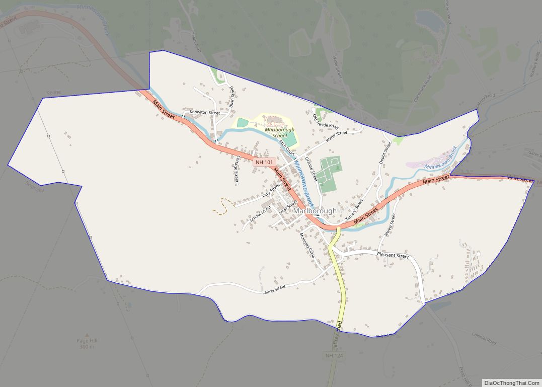
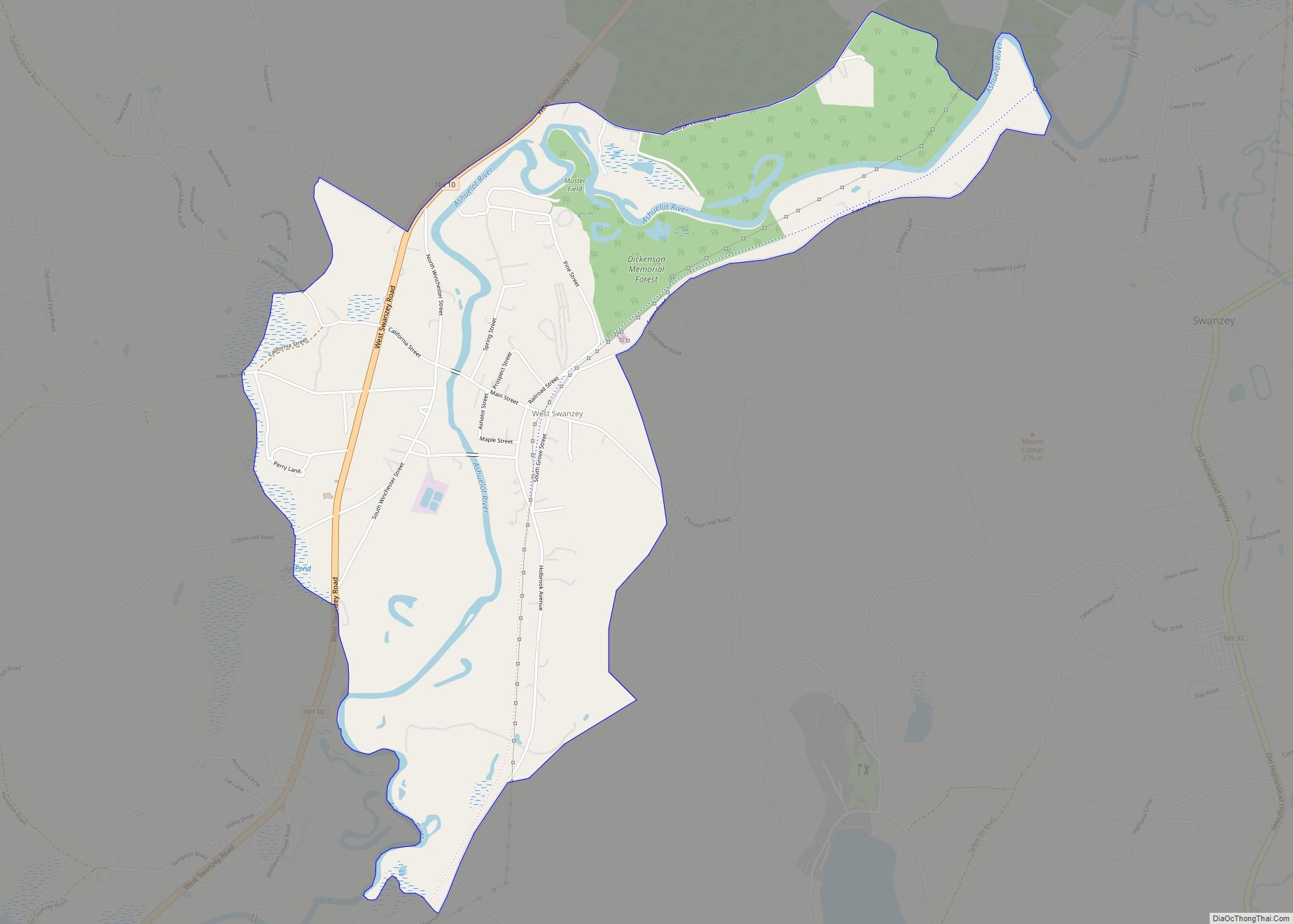
West Swanzey is a census-designated place (CDP) in the town of Swanzey within Cheshire County, New Hampshire, United States. The population was 1,281 at the 2020 census. It is the largest village in the town of Swanzey.
| Name: | West Swanzey CDP |
|---|---|
| LSAD Code: | 57 |
| LSAD Description: | CDP (suffix) |
| State: | New Hampshire |
| County: | Cheshire County |
| Elevation: | 512 ft (156 m) |
| Total Area: | 2.60 sq mi (6.73 km²) |
| Land Area: | 2.58 sq mi (6.68 km²) |
| Water Area: | 0.02 sq mi (0.05 km²) |
| Total Population: | 1,281 |
| Population Density: | 496.51/sq mi (191.69/km²) |
| ZIP code: | 03469 |
| Area code: | 603 |
| FIPS code: | 3383700 |
| GNISfeature ID: | 0870797 |
Online Interactive Map
Click on ![]() to view map in "full screen" mode.
to view map in "full screen" mode.
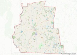
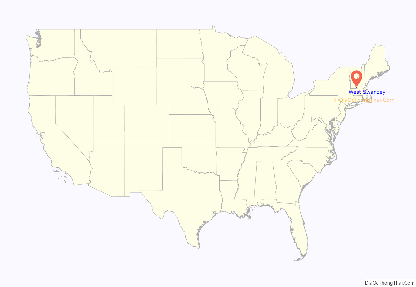
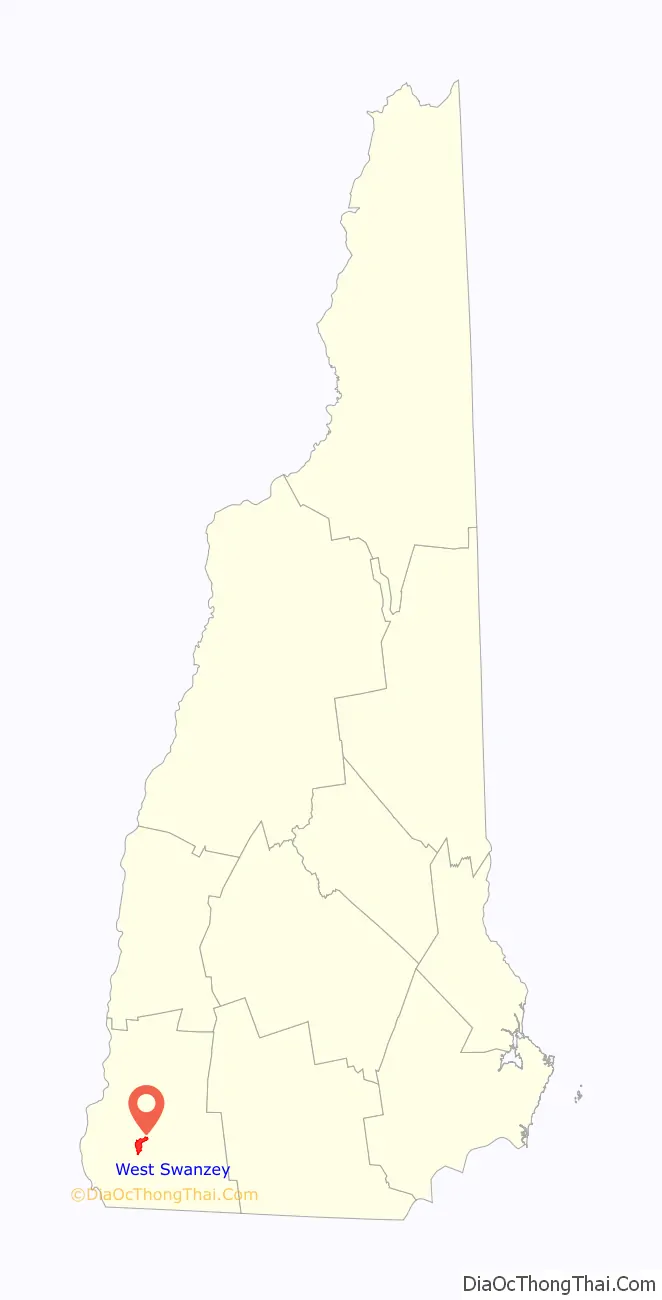
West Swanzey location map. Where is West Swanzey CDP?
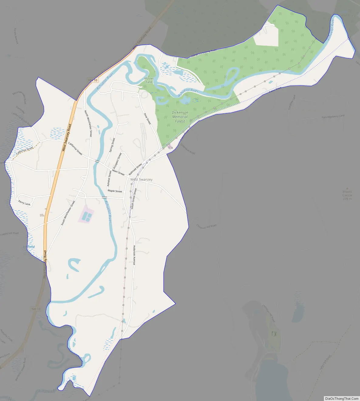
West Swanzey Road Map
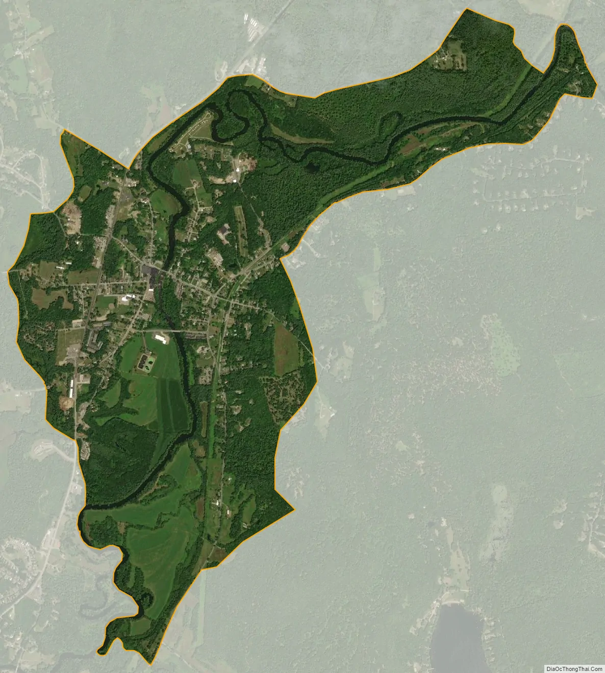
West Swanzey city Satellite Map
Geography
West Swanzey is located in the west-central part of the town of Swanzey, on both sides of the Ashuelot River. The West Swanzey Covered Bridge carries Main Street across the river in the center of the village. New Hampshire Route 10 passes through the west side of the village, leading north 6 miles (10 km) to Keene and south 7 miles (11 km) to Winchester.
According to the U.S. Census Bureau, the West Swanzey CDP has a total area of 2.60 square miles (6.73 km), of which 2.58 square miles (6.68 km) are land and 0.02 square miles (0.05 km), or 0.70%, are water.
See also
Map of New Hampshire State and its subdivision: Map of other states:- Alabama
- Alaska
- Arizona
- Arkansas
- California
- Colorado
- Connecticut
- Delaware
- District of Columbia
- Florida
- Georgia
- Hawaii
- Idaho
- Illinois
- Indiana
- Iowa
- Kansas
- Kentucky
- Louisiana
- Maine
- Maryland
- Massachusetts
- Michigan
- Minnesota
- Mississippi
- Missouri
- Montana
- Nebraska
- Nevada
- New Hampshire
- New Jersey
- New Mexico
- New York
- North Carolina
- North Dakota
- Ohio
- Oklahoma
- Oregon
- Pennsylvania
- Rhode Island
- South Carolina
- South Dakota
- Tennessee
- Texas
- Utah
- Vermont
- Virginia
- Washington
- West Virginia
- Wisconsin
- Wyoming