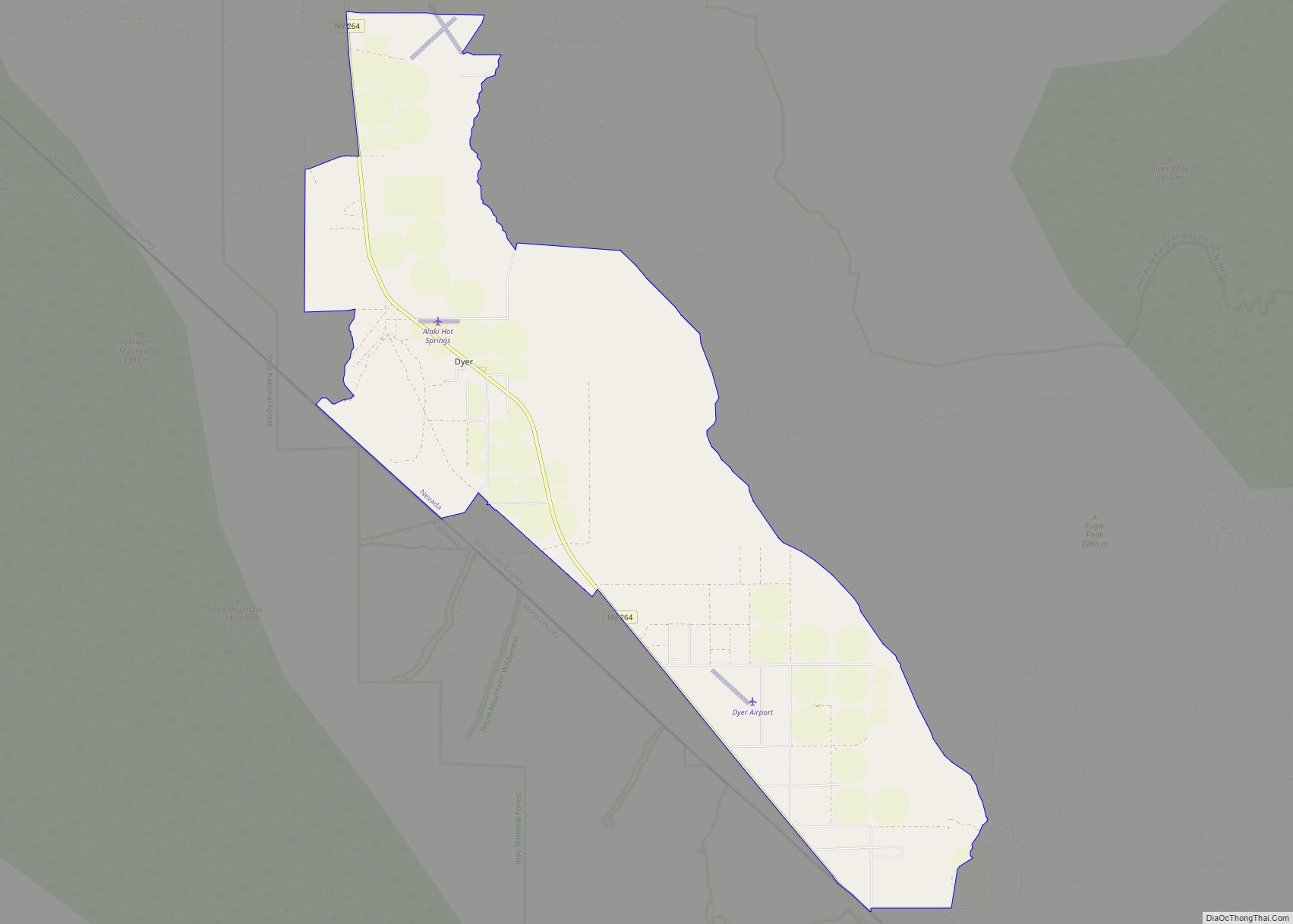
Dyer is an unincorporated town, located in Fish Lake Valley, Esmeralda County, Nevada, United States. It had a population of 324 as of the 2018 American Community Survey. The town serves the surrounding area’s sparse rural population of mainly ranchers and indigenous Paiute people. The town has a gas station/store, cafe, post office and airport.
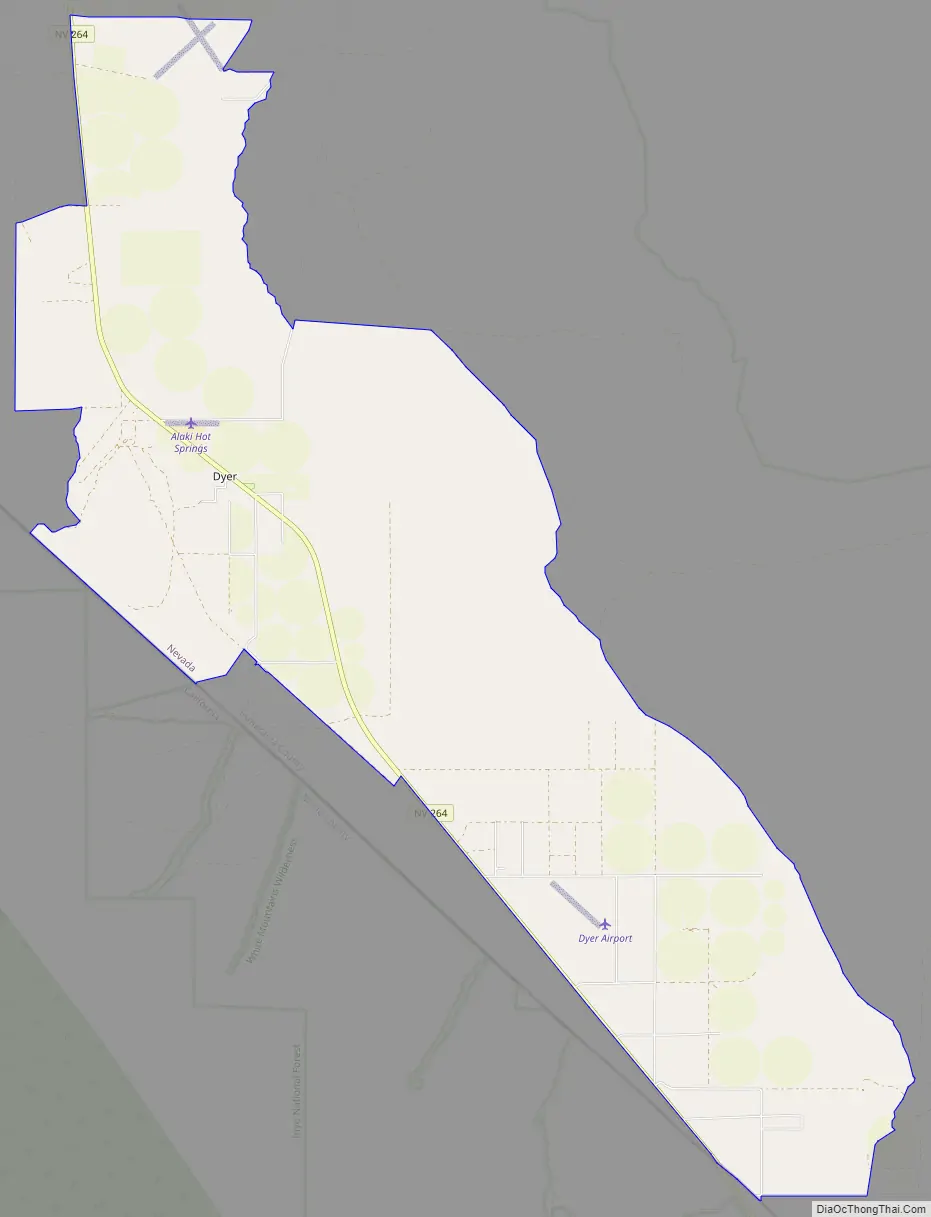
Dyer is located on State Route 264, near Nevada’s border with California. It is 25 miles (40 km) south of U.S. Route 6 and 15 miles (24 km) north of Oasis, California. The town is part of the Dyer Census Designated Place.
| Name: | Dyer CDP |
|---|---|
| LSAD Code: | 57 |
| LSAD Description: | CDP (suffix) |
| State: | Nevada |
| County: | Esmeralda County |
| Elevation: | 4,880 ft (1,490 m) |
| Total Area: | 35.23 sq mi (91.25 km²) |
| Land Area: | 35.14 sq mi (91.01 km²) |
| Water Area: | 0.09 sq mi (0.23 km²) |
| Total Population: | 232 |
| Population Density: | 6.60/sq mi (2.55/km²) |
| ZIP code: | 89010 |
| FIPS code: | 3220700 |
| GNISfeature ID: | 859604 |
Online Interactive Map
Click on ![]() to view map in "full screen" mode.
to view map in "full screen" mode.
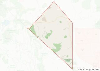
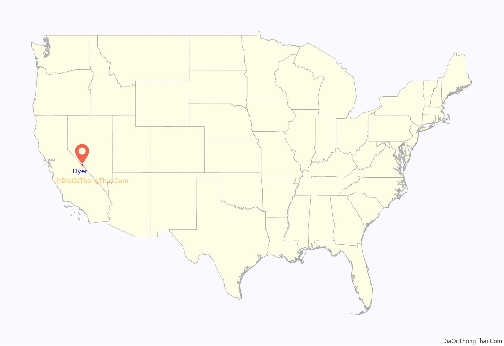
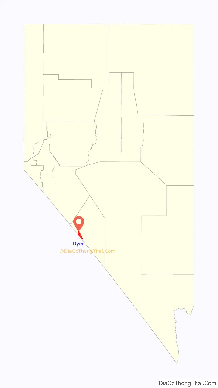
Dyer location map. Where is Dyer CDP?
History
The post office at Dyer has been in operation since 1889. The community took its name from nearby Dyer’s Ranch.
Dyer Road Map
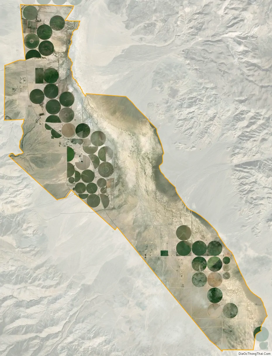
Dyer city Satellite Map
See also
Map of Nevada State and its subdivision: Map of other states:- Alabama
- Alaska
- Arizona
- Arkansas
- California
- Colorado
- Connecticut
- Delaware
- District of Columbia
- Florida
- Georgia
- Hawaii
- Idaho
- Illinois
- Indiana
- Iowa
- Kansas
- Kentucky
- Louisiana
- Maine
- Maryland
- Massachusetts
- Michigan
- Minnesota
- Mississippi
- Missouri
- Montana
- Nebraska
- Nevada
- New Hampshire
- New Jersey
- New Mexico
- New York
- North Carolina
- North Dakota
- Ohio
- Oklahoma
- Oregon
- Pennsylvania
- Rhode Island
- South Carolina
- South Dakota
- Tennessee
- Texas
- Utah
- Vermont
- Virginia
- Washington
- West Virginia
- Wisconsin
- Wyoming