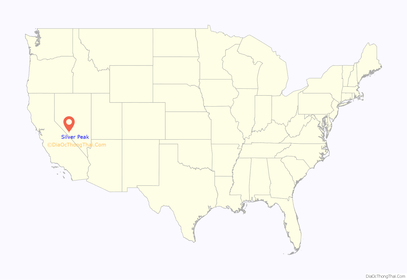
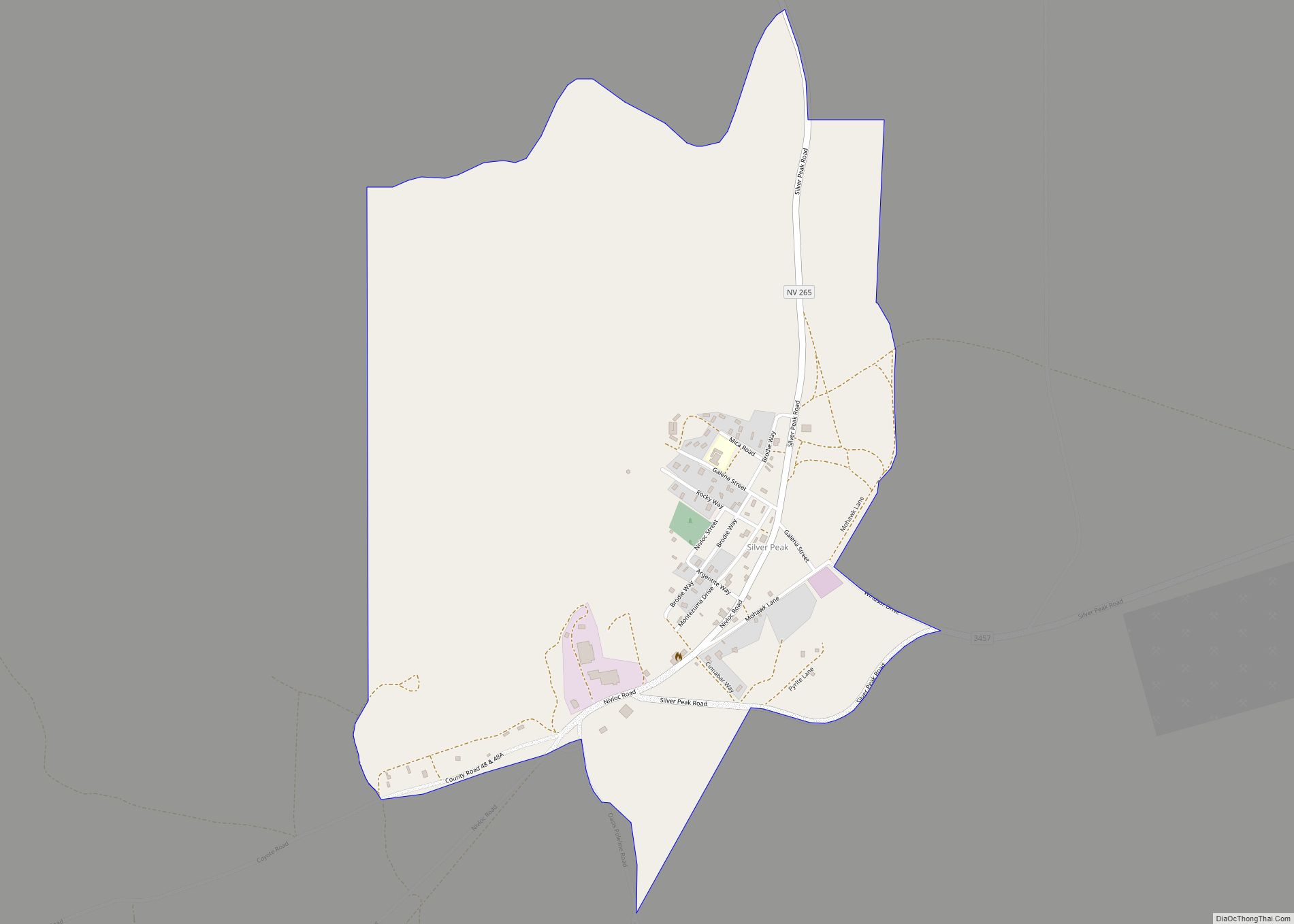
Silver Peak (also Silverpeak) is an unincorporated community and census-designated place (CDP) in Esmeralda County, Nevada, United States. It lies along State Route 265, 20 miles (32 km) south of U.S. Route 6 and 30 miles (48 km) west of Goldfield, the county seat of Esmeralda County. It has a post office, with the ZIP code of 89047. The population of Silver Peak was 142 as of 2019.
| Name: | Silver Peak CDP |
|---|---|
| LSAD Code: | 57 |
| LSAD Description: | CDP (suffix) |
| State: | Nevada |
| County: | Esmeralda County |
| Elevation: | 4,321 ft (1,317 m) |
| Total Area: | 0.99 sq mi (2.56 km²) |
| Land Area: | 0.99 sq mi (2.56 km²) |
| Water Area: | 0.00 sq mi (0.00 km²) |
| Total Population: | 121 |
| Population Density: | 122.22/sq mi (47.18/km²) |
| ZIP code: | 89047 |
| FIPS code: | 3267000 |
| GNISfeature ID: | 845661 |
Online Interactive Map
Click on ![]() to view map in "full screen" mode.
to view map in "full screen" mode.
Silver Peak location map. Where is Silver Peak CDP?
History
Silver Peak is one of the oldest mining communities in Nevada. It was founded near a well in 1864, two years after the founding of surrounding Esmeralda County, and one year after silver was discovered nearby and mining began. A 10 stamp mill was built in 1865, and a 20 stamp mill by 1867. The Silver Peak Railroad was built by the Pittsburgh Silver Peak Gold Mining Company after it bought a group of mining properties in 1906 and established a 100 stamp mill at Blair, Nevada, in 1907. Blair’s mill closed in 1915, and Blair was a ghost town by 1920. Silver Peak maintained a population, however, even though it burned in 1948.
In 1939, boxer Max Baer defeated “Big Ed” Murphy of Silver Peak in a one round fight at Silver Peak.
Silver Peak Road Map
Silver Peak city Satellite Map
See also
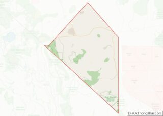
Map of Nevada State and its subdivision: Map of other states:- Alabama
- Alaska
- Arizona
- Arkansas
- California
- Colorado
- Connecticut
- Delaware
- District of Columbia
- Florida
- Georgia
- Hawaii
- Idaho
- Illinois
- Indiana
- Iowa
- Kansas
- Kentucky
- Louisiana
- Maine
- Maryland
- Massachusetts
- Michigan
- Minnesota
- Mississippi
- Missouri
- Montana
- Nebraska
- Nevada
- New Hampshire
- New Jersey
- New Mexico
- New York
- North Carolina
- North Dakota
- Ohio
- Oklahoma
- Oregon
- Pennsylvania
- Rhode Island
- South Carolina
- South Dakota
- Tennessee
- Texas
- Utah
- Vermont
- Virginia
- Washington
- West Virginia
- Wisconsin
- Wyoming
