Foster Center is a village in the town of Foster, Rhode Island, United States. It was listed as a census-designated place (CDP) in 2010, with a population of 355. Historic elements of the village are included in the Foster Center Historic District, which was added to the National Register of Historic Places on May 11, 1974. The district features various colonial and Greek Revival houses as well as the still functioning town building from the late 18th century.
| Name: | Foster Center CDP |
|---|---|
| LSAD Code: | 57 |
| LSAD Description: | CDP (suffix) |
| State: | Rhode Island |
| County: | Providence County |
| FIPS code: | 4427640 |
Online Interactive Map
Click on ![]() to view map in "full screen" mode.
to view map in "full screen" mode.
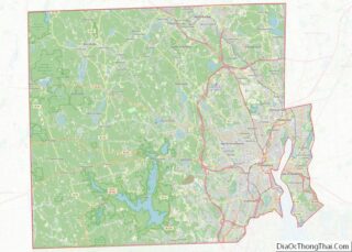
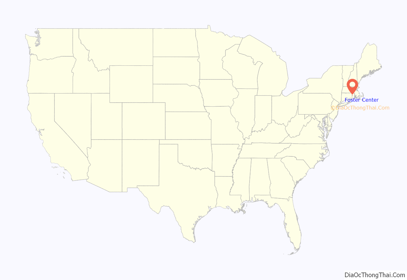
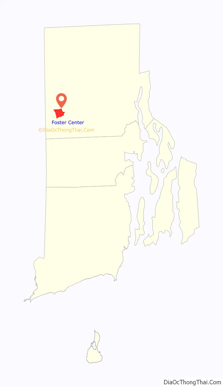
Foster Center location map. Where is Foster Center CDP?
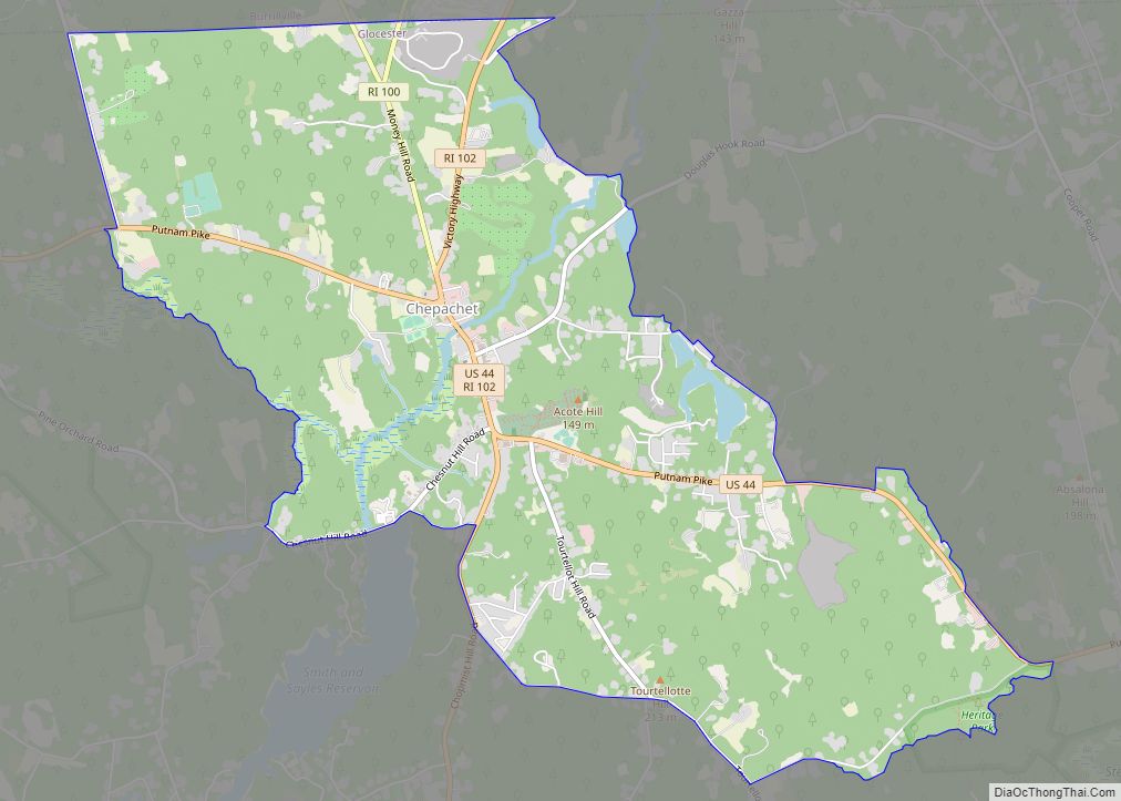
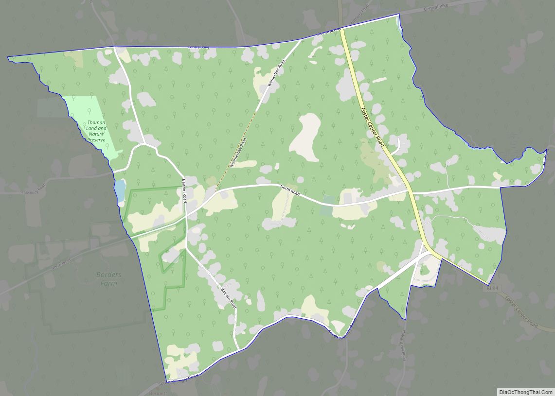
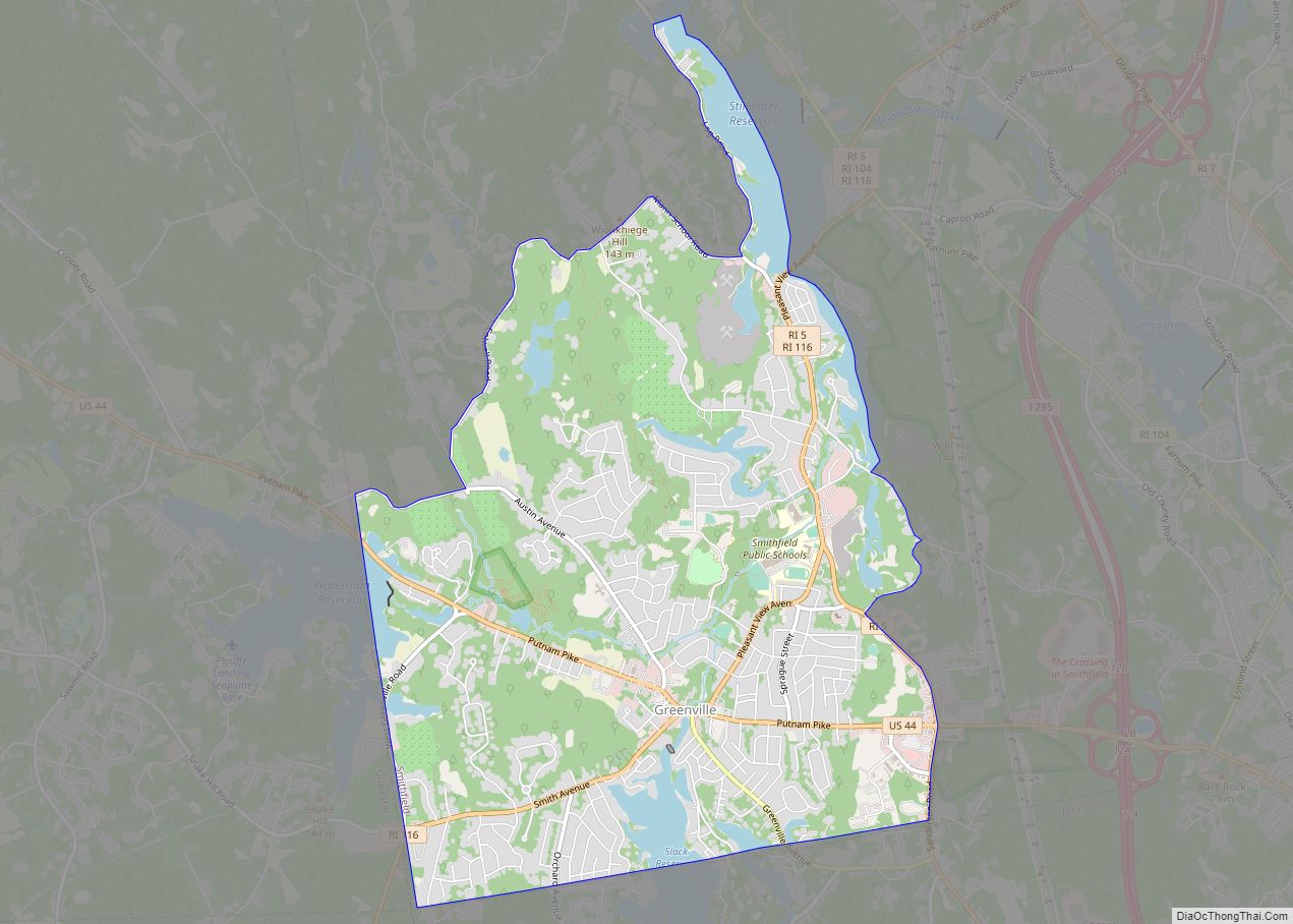
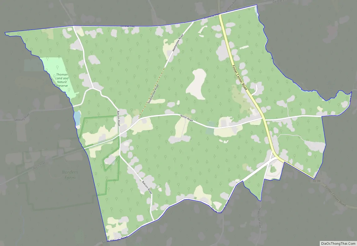
Foster Center Road Map
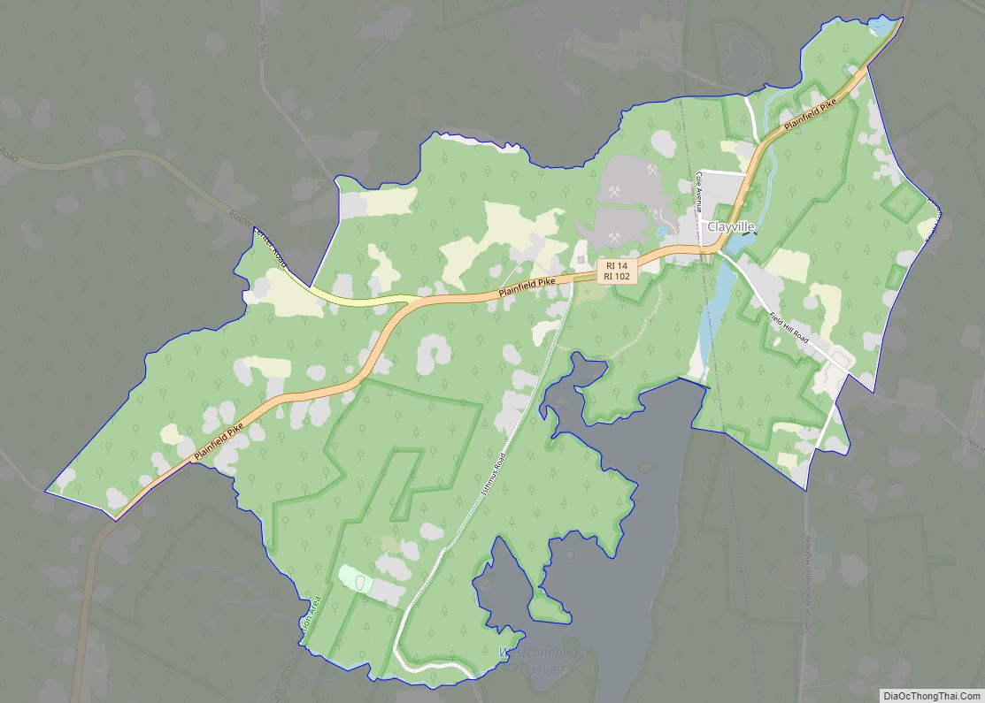
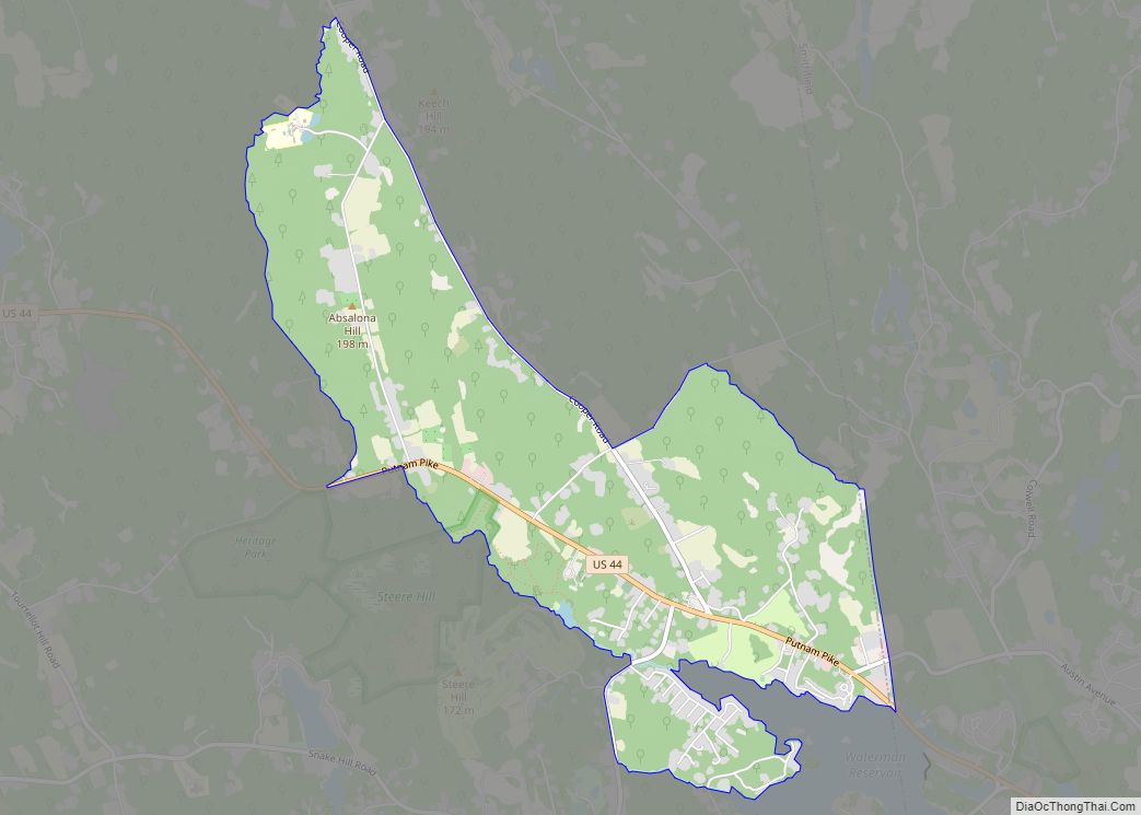
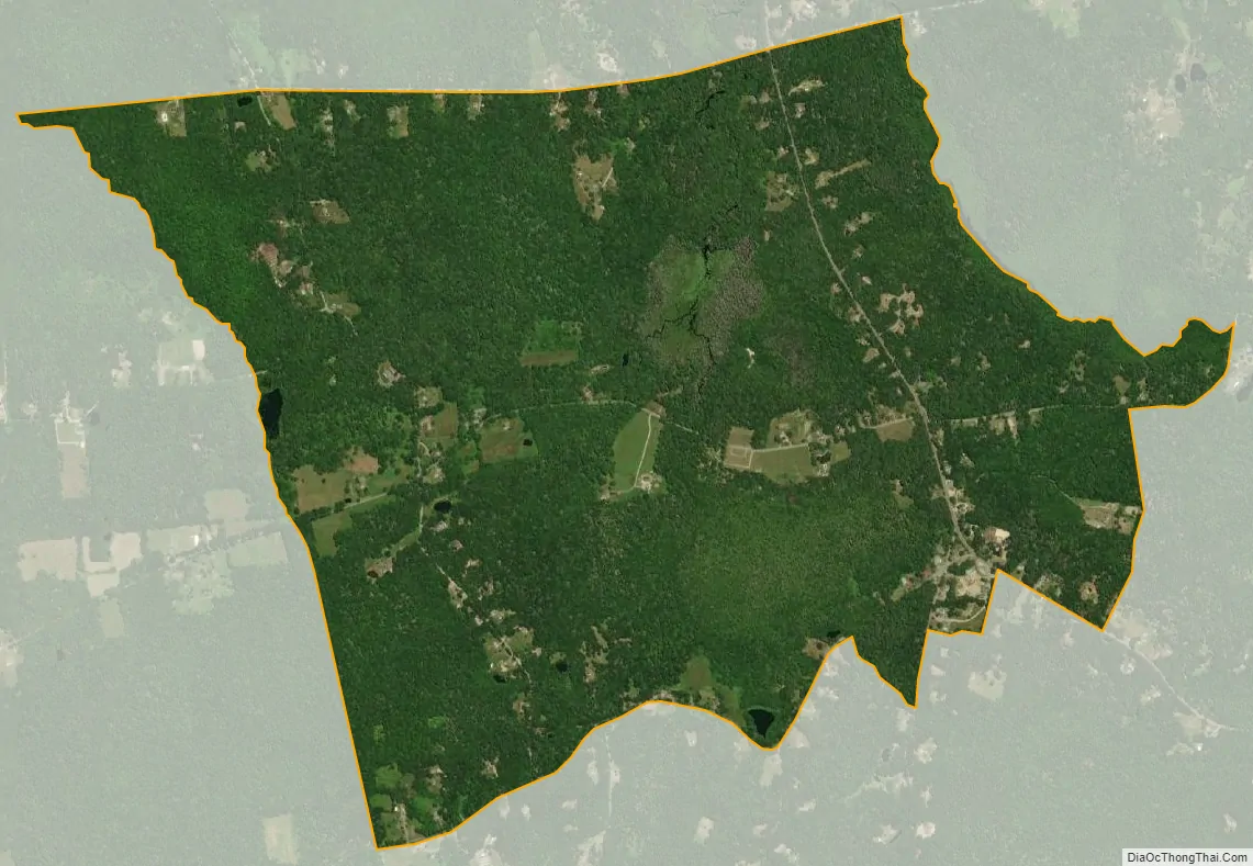
Foster Center city Satellite Map
Geography
According to the U.S. Census Bureau, the CDP has a total area of 2.18 square miles (5.65 km), of which 2.17 square miles (5.61 km) is land and 0.015 square miles (0.04 km), or 0.66%, is water. The village is located near the western border of Rhode Island along Rhode Island Route 94, which leads north to West Glocester and south towards Clayville.
See also
Map of Rhode Island State and its subdivision: Map of other states:- Alabama
- Alaska
- Arizona
- Arkansas
- California
- Colorado
- Connecticut
- Delaware
- District of Columbia
- Florida
- Georgia
- Hawaii
- Idaho
- Illinois
- Indiana
- Iowa
- Kansas
- Kentucky
- Louisiana
- Maine
- Maryland
- Massachusetts
- Michigan
- Minnesota
- Mississippi
- Missouri
- Montana
- Nebraska
- Nevada
- New Hampshire
- New Jersey
- New Mexico
- New York
- North Carolina
- North Dakota
- Ohio
- Oklahoma
- Oregon
- Pennsylvania
- Rhode Island
- South Carolina
- South Dakota
- Tennessee
- Texas
- Utah
- Vermont
- Virginia
- Washington
- West Virginia
- Wisconsin
- Wyoming