Greenville is a village and census-designated place (CDP) in the town of Smithfield in Providence County, Rhode Island, United States. The population was 8,658 at the 2010 census. The CDP is centered on the village of Greenville but also encompasses the nearby villages of West Greenville and Spragueville, as well as the Mountaindale Reservoir and beach.
The village of Greenville is named after Revolutionary War general Nathanael Greene, who was born in Rhode Island in 1742. The location, however, was first settled in the 17th century. The village contains the Greenville Baptist Church (American Baptist Churches, USA), Greenville Public Library, and William Winsor School, and there are many apple orchards in the surrounding area. The area was active in the Free Will Baptist movement in the 19th century, and the Smithville Seminary, a Free Baptist institution, was nearby. U.S. Route 44, known locally as “Putnam Pike”, runs through the center of Greenville.
| Name: | Greenville CDP |
|---|---|
| LSAD Code: | 57 |
| LSAD Description: | CDP (suffix) |
| State: | Rhode Island |
| County: | Providence County |
| Elevation: | 285 ft (87 m) |
| Total Area: | 6.13 sq mi (15.88 km²) |
| Land Area: | 5.56 sq mi (14.40 km²) |
| Water Area: | 0.57 sq mi (1.48 km²) |
| Total Population: | 9,061 |
| Population Density: | 1,630.26/sq mi (629.42/km²) |
| ZIP code: | 02828 |
| Area code: | 401 |
| FIPS code: | 4431600 |
| GNISfeature ID: | 1218665 |
Online Interactive Map
Click on ![]() to view map in "full screen" mode.
to view map in "full screen" mode.
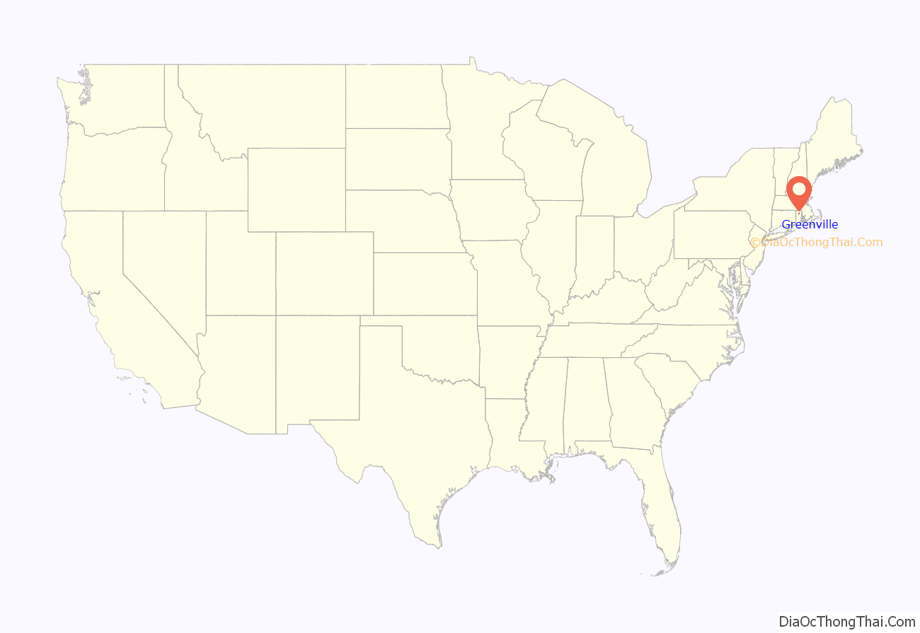
Greenville location map. Where is Greenville CDP?
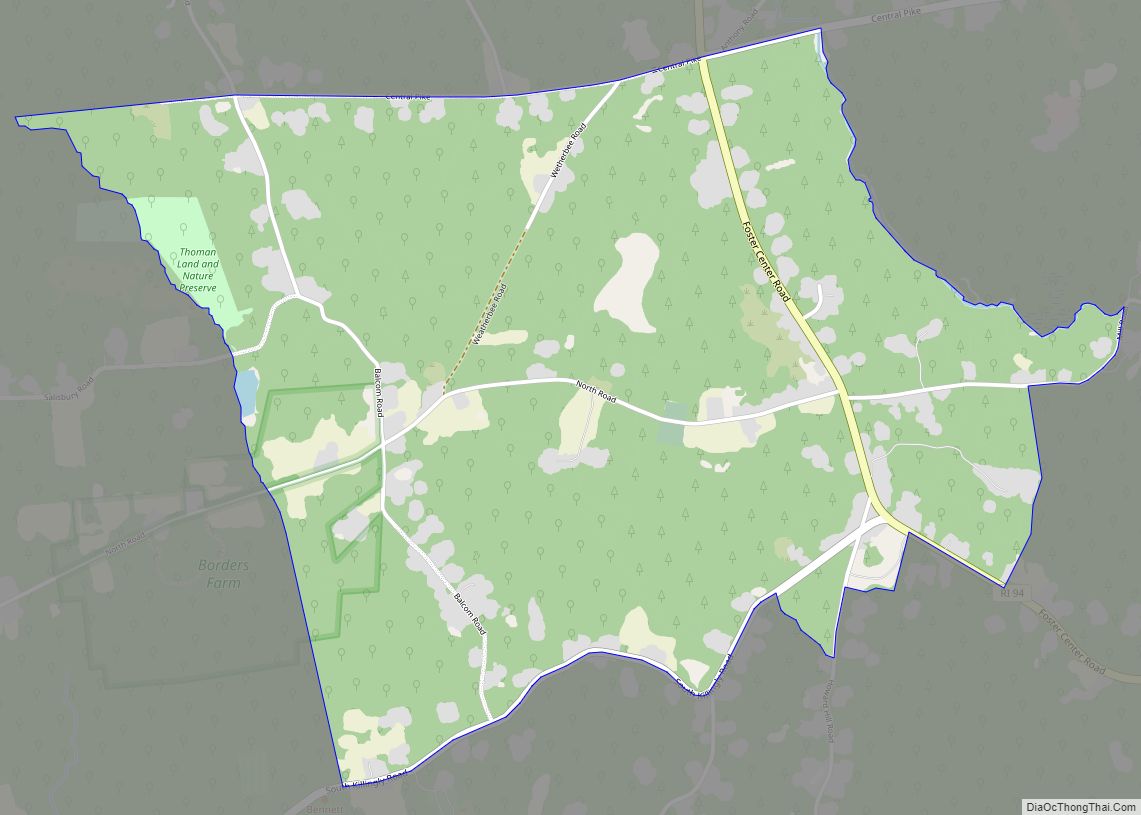
Greenville Road Map
Greenville city Satellite Map
Geography
Greenville is located at 41°52′36″N 71°33′12″W / 41.87667°N 71.55333°W / 41.87667; -71.55333 (41.876749, −71.553375).
According to the United States Census Bureau, the CDP has a total area of 14.9 km (5.8 mi). 13.5 km (5.2 mi) of it is land and 1.4 km (0.5 mi) of it (9.39%) is water. Some bodies of water in Greenville include Waterman Reservoir and Slack’s Pond.
See also
Map of Rhode Island State and its subdivision: Map of other states:- Alabama
- Alaska
- Arizona
- Arkansas
- California
- Colorado
- Connecticut
- Delaware
- District of Columbia
- Florida
- Georgia
- Hawaii
- Idaho
- Illinois
- Indiana
- Iowa
- Kansas
- Kentucky
- Louisiana
- Maine
- Maryland
- Massachusetts
- Michigan
- Minnesota
- Mississippi
- Missouri
- Montana
- Nebraska
- Nevada
- New Hampshire
- New Jersey
- New Mexico
- New York
- North Carolina
- North Dakota
- Ohio
- Oklahoma
- Oregon
- Pennsylvania
- Rhode Island
- South Carolina
- South Dakota
- Tennessee
- Texas
- Utah
- Vermont
- Virginia
- Washington
- West Virginia
- Wisconsin
- Wyoming
