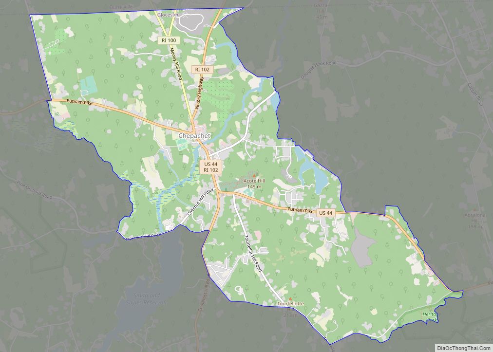
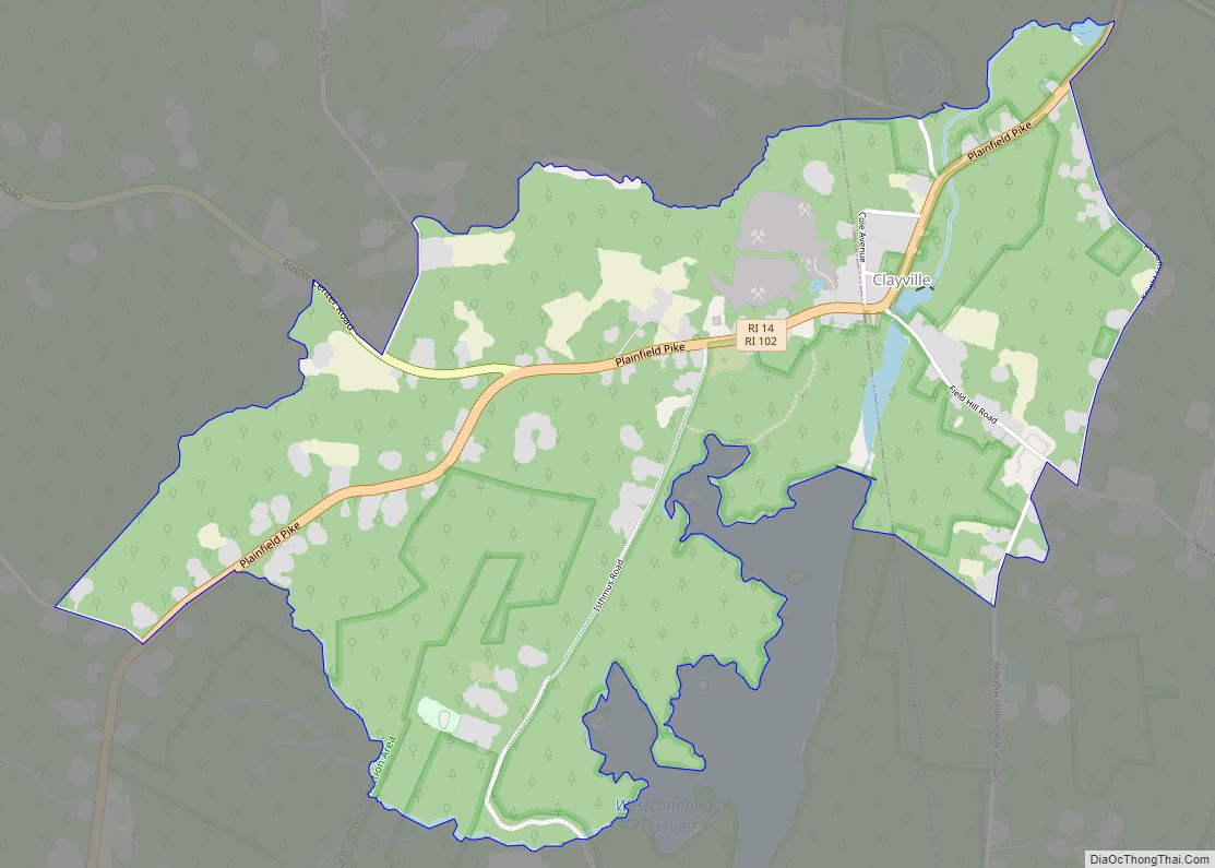
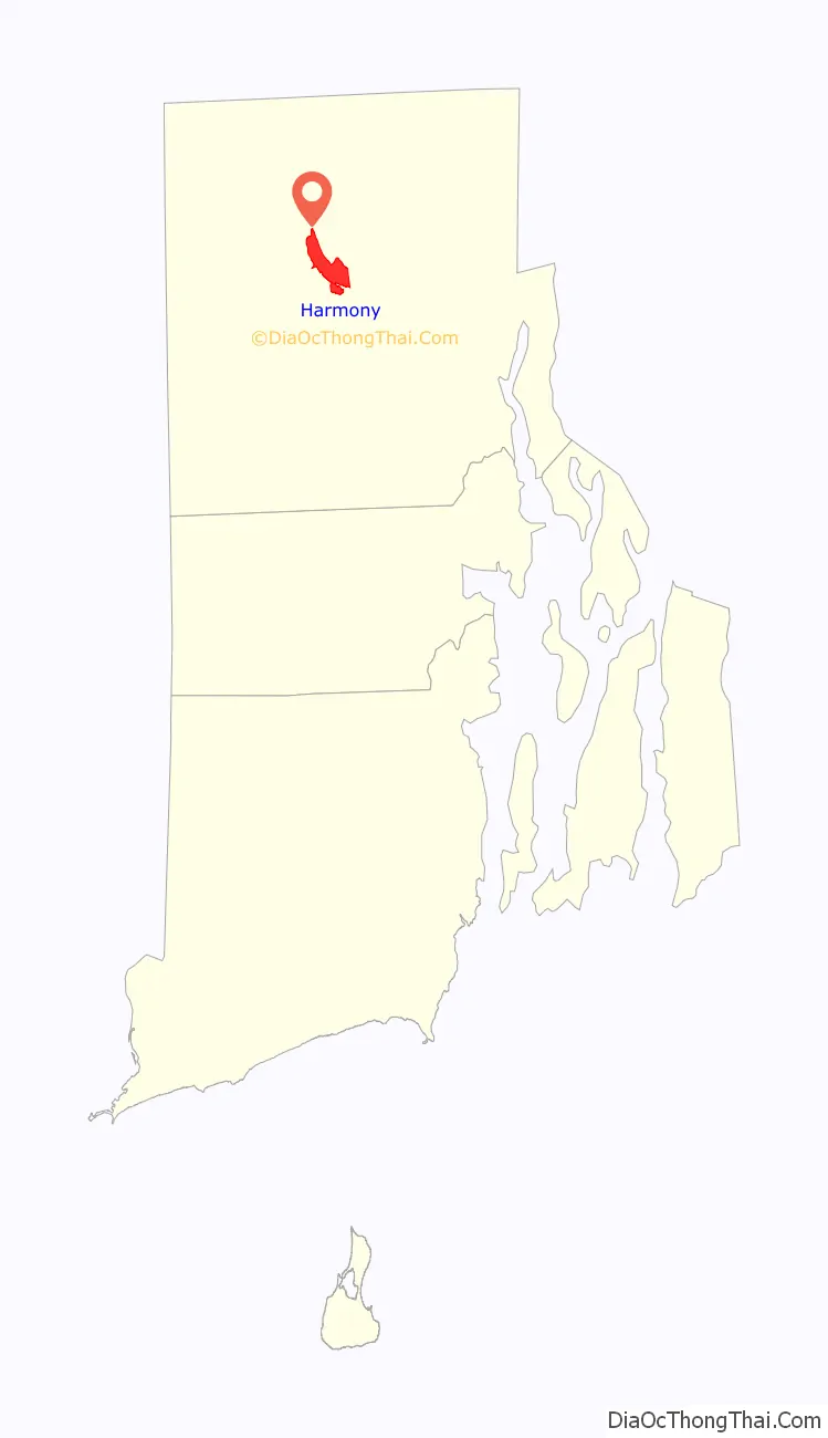
Harmony is a village and census-designated place in Providence County, Rhode Island, in the town of Glocester, located on U.S. Route 44 (Putnam Pike). As of the 2010 census, it had a population of 985.
| Name: | Harmony CDP |
|---|---|
| LSAD Code: | 57 |
| LSAD Description: | CDP (suffix) |
| State: | Rhode Island |
| County: | Providence County |
| Elevation: | 554 ft (169 m) |
| Total Area: | 2.97 sq mi (7.68 km²) |
| Land Area: | 2.94 sq mi (7.62 km²) |
| Water Area: | 0.02 sq mi (0.06 km²) |
| Total Population: | 1,036 |
| Population Density: | 352.02/sq mi (135.90/km²) |
| ZIP code: | 02814 |
| Area code: | 401 |
| FIPS code: | 4433040 |
| GNISfeature ID: | 2629815 |
Online Interactive Map
Click on ![]() to view map in "full screen" mode.
to view map in "full screen" mode.
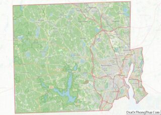
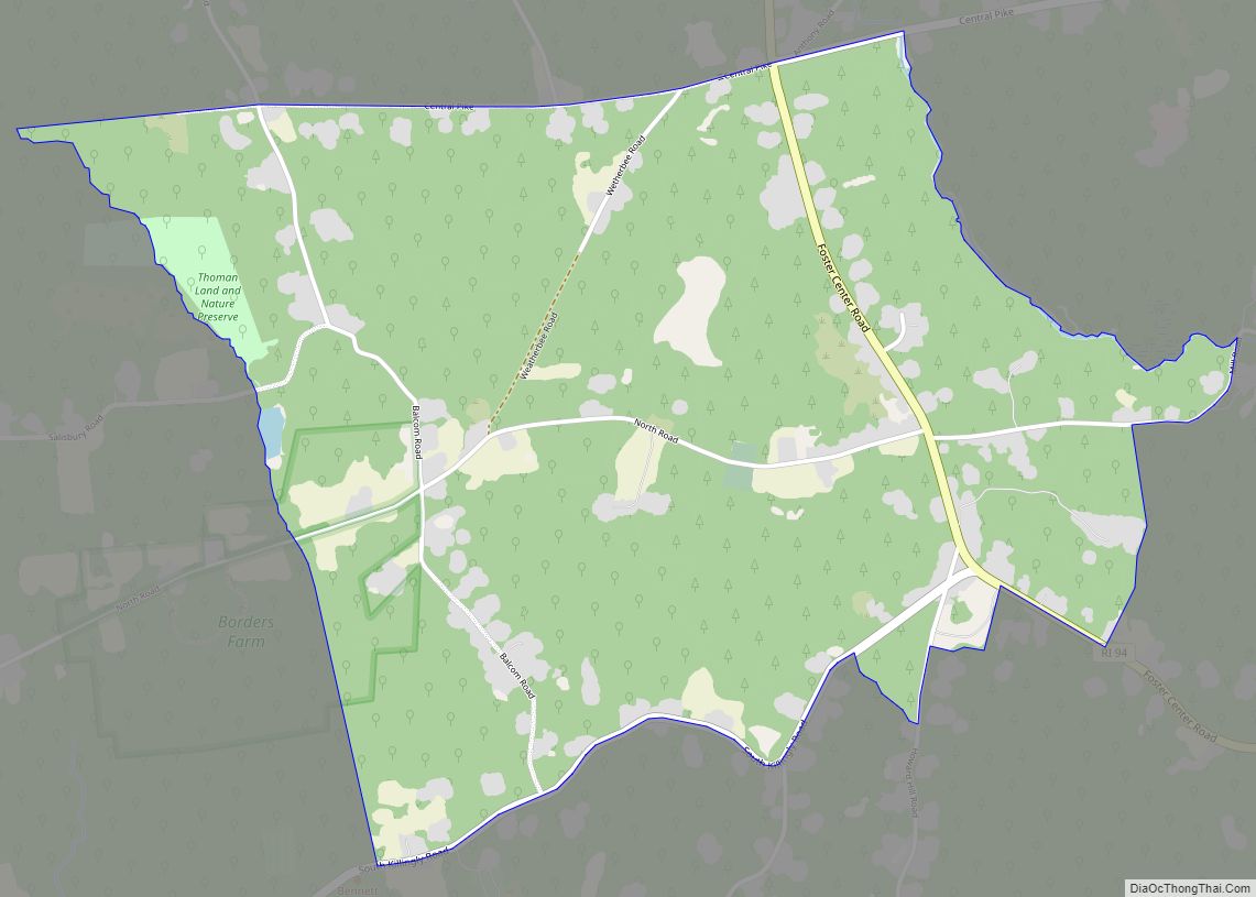
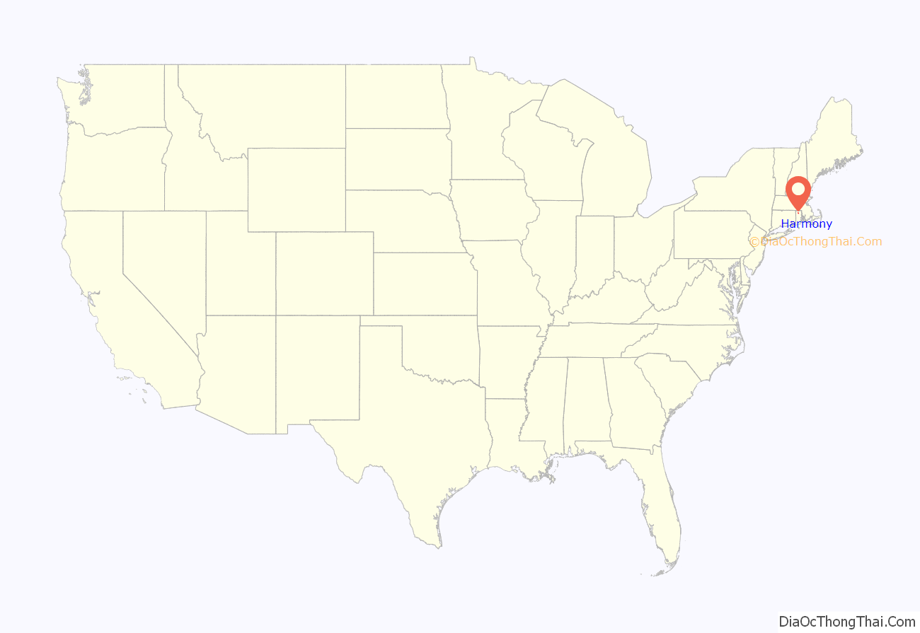
Harmony location map. Where is Harmony CDP?
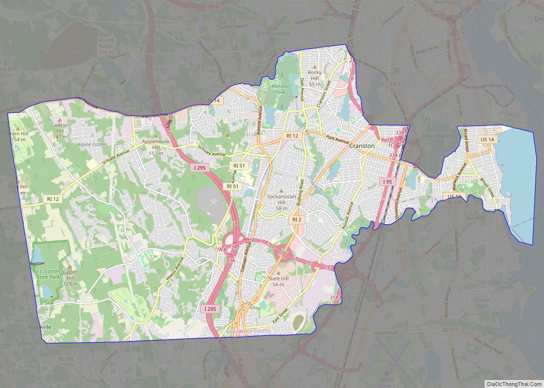
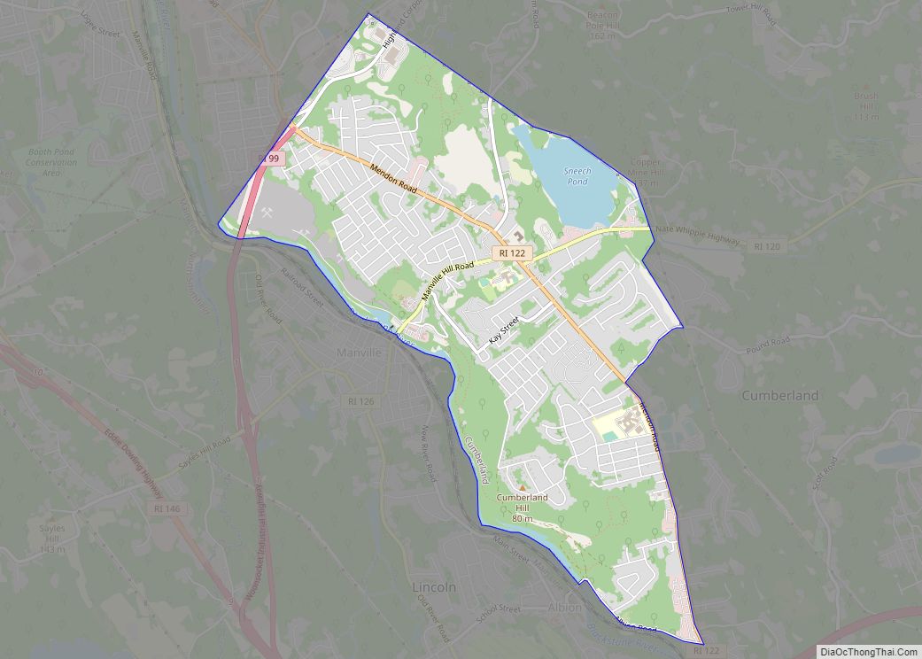
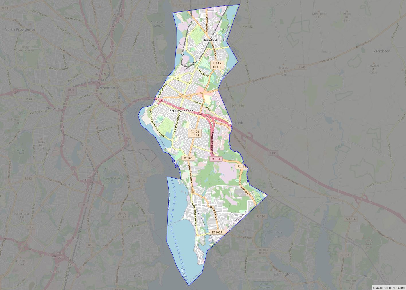
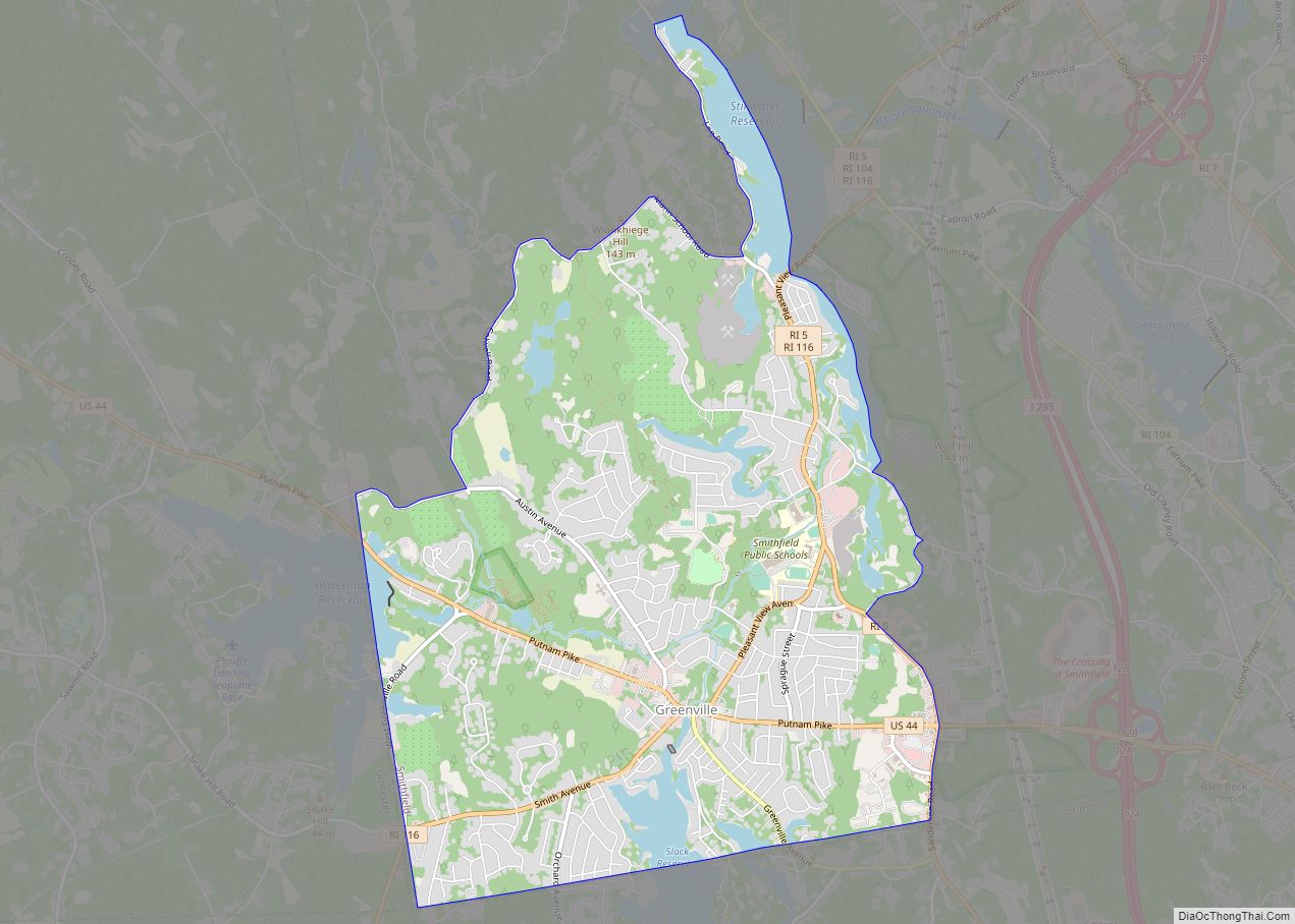
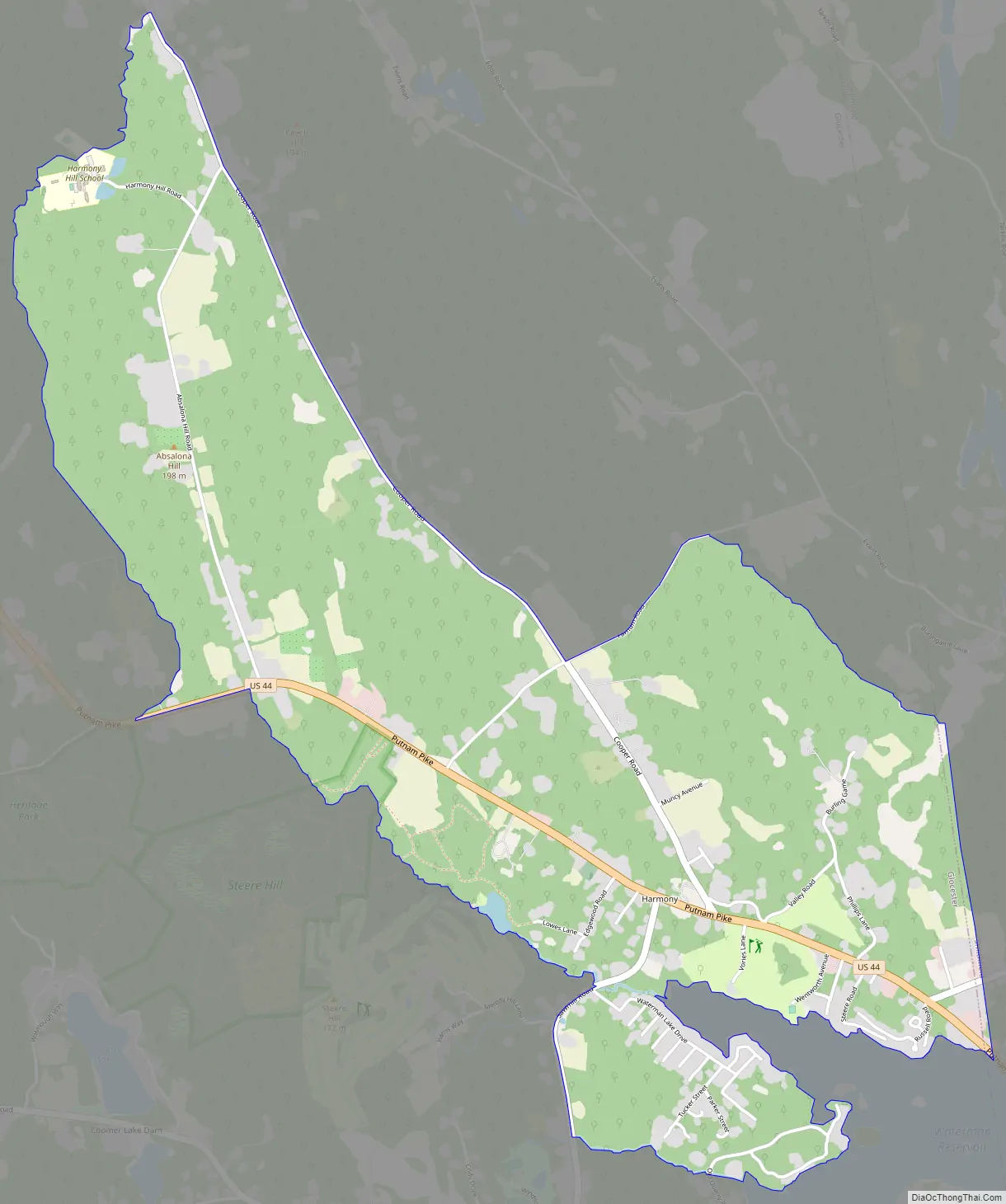
Harmony Road Map
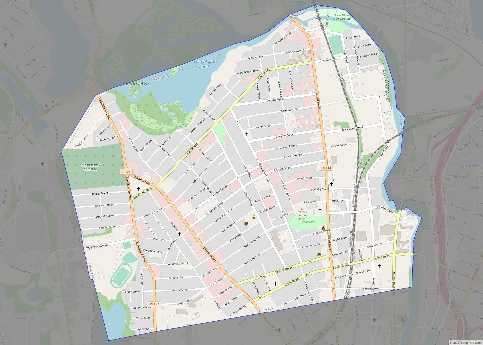
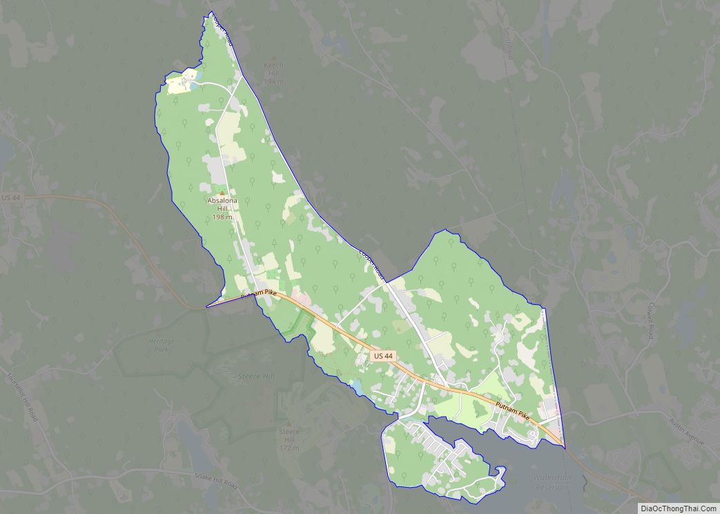
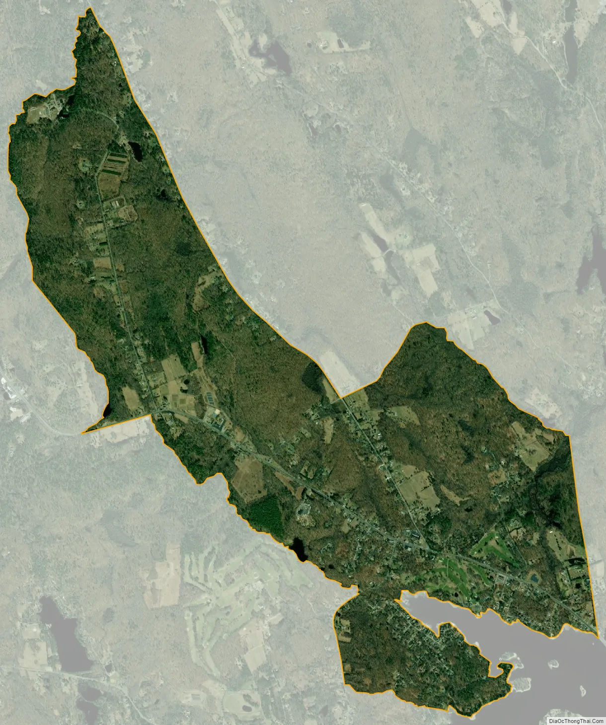
Harmony city Satellite Map
Geography
According to the U.S. Census Bureau, Harmony has a total area of 2.97 mi (7.68 km), of which 2.94 mi (7.62 km) is land and 0.023 mi (0.060 km), or 0.78%, is water.
See also
Map of Rhode Island State and its subdivision: Map of other states:- Alabama
- Alaska
- Arizona
- Arkansas
- California
- Colorado
- Connecticut
- Delaware
- District of Columbia
- Florida
- Georgia
- Hawaii
- Idaho
- Illinois
- Indiana
- Iowa
- Kansas
- Kentucky
- Louisiana
- Maine
- Maryland
- Massachusetts
- Michigan
- Minnesota
- Mississippi
- Missouri
- Montana
- Nebraska
- Nevada
- New Hampshire
- New Jersey
- New Mexico
- New York
- North Carolina
- North Dakota
- Ohio
- Oklahoma
- Oregon
- Pennsylvania
- Rhode Island
- South Carolina
- South Dakota
- Tennessee
- Texas
- Utah
- Vermont
- Virginia
- Washington
- West Virginia
- Wisconsin
- Wyoming