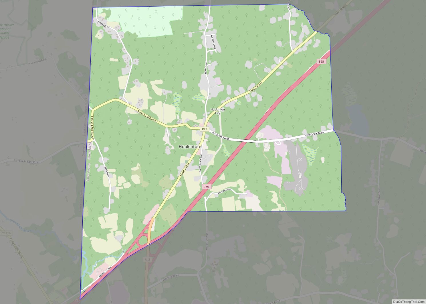
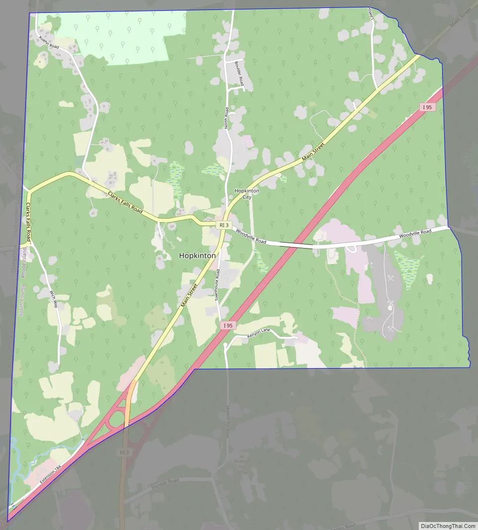
Hopkinton is a census-designated place (CDP) in Washington County, Rhode Island, United States, comprising the central village in the town of Hopkinton. It was first listed as a CDP prior to the 2020 census. The village is also known as Hopkinton City, and the center of the village comprises the Hopkinton City Historic District.
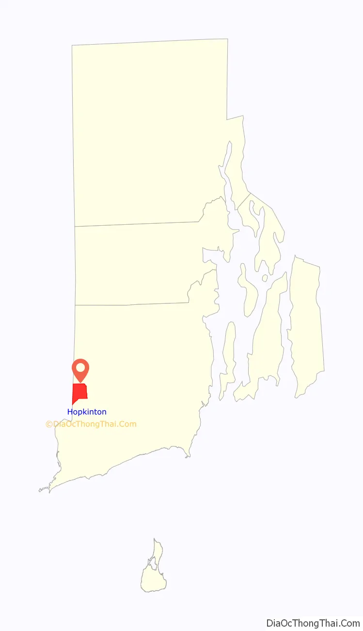
Hopkinton village is on the western edge of Washington County, in the west-central part of the town of Hopkinton. Its western border is the Connecticut state line. Rhode Island Route 3 passes through the center of the village, leading northeast 4 miles (6 km) to Hope Valley, the largest village in the town of Hopkinton, and south 3 miles (5 km) to Ashaway, the second-largest village. Interstate 95 runs through the southeast part of the Hopkinton CDP, with access from Exit 1 with Route 3 between Hopkinton village and Ashaway. I-95 leads northeast 36 miles (58 km) to Providence, the state capital, and southwest 19 miles (31 km) to New London, Connecticut.
| Name: | Hopkinton CDP |
|---|---|
| LSAD Code: | 57 |
| LSAD Description: | CDP (suffix) |
| State: | Rhode Island |
| County: | Washington County |
| Elevation: | 170 ft (50 m) |
| Total Area: | 3.31 sq mi (8.57 km²) |
| Land Area: | 3.30 sq mi (8.55 km²) |
| Water Area: | 0.01 sq mi (0.01 km²) |
| Total Population: | 475 |
| Population Density: | 143.85/sq mi (55.54/km²) |
| Area code: | 401 |
| FIPS code: | 4435200 |
| GNISfeature ID: | 2631335 |
Online Interactive Map
Click on ![]() to view map in "full screen" mode.
to view map in "full screen" mode.
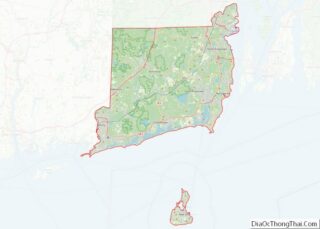
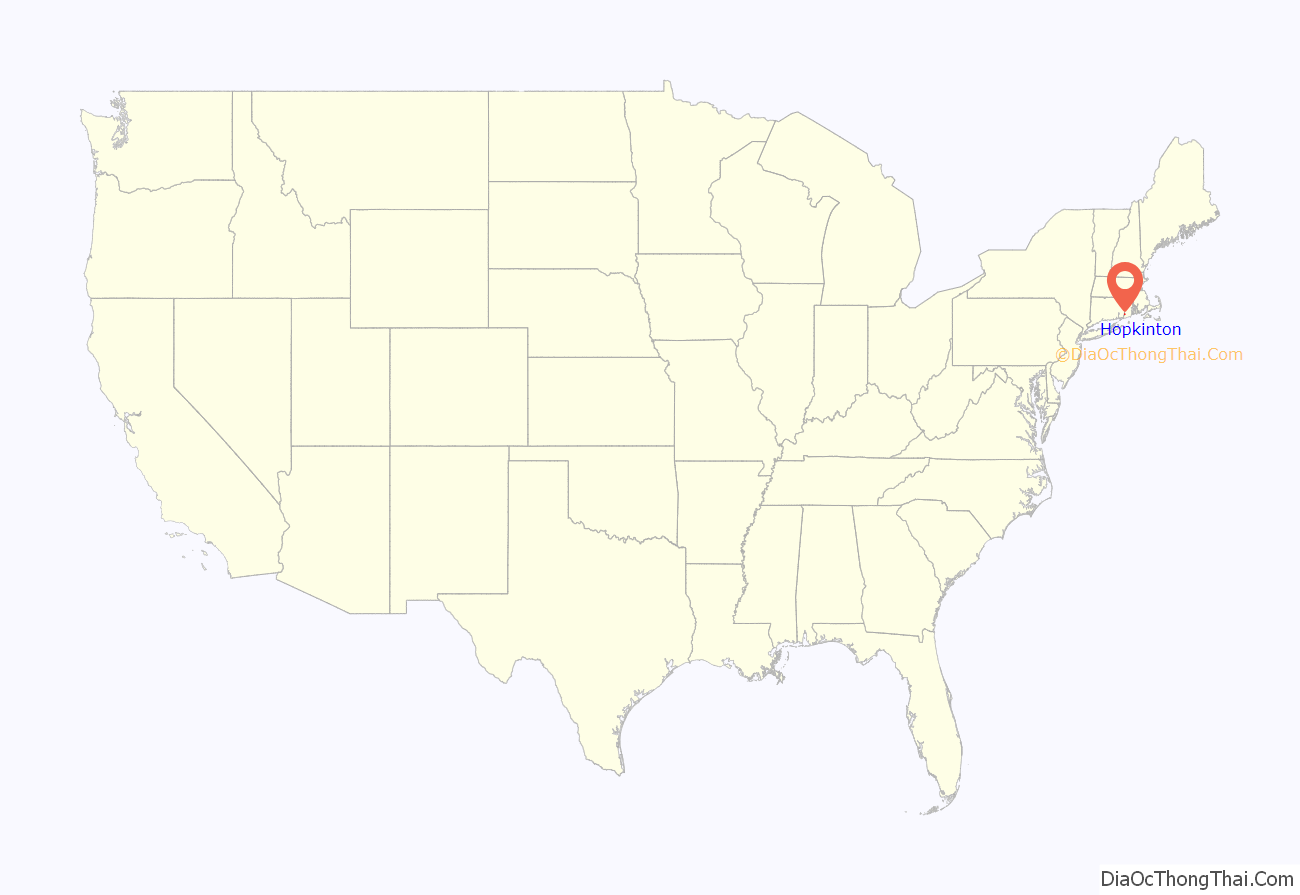
Hopkinton location map. Where is Hopkinton CDP?
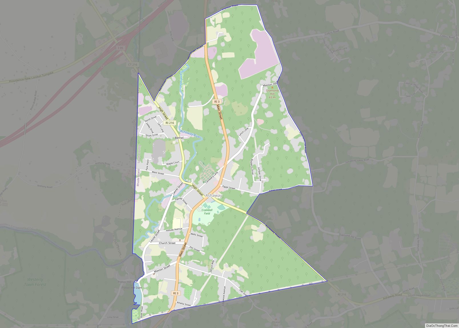
Hopkinton Road Map
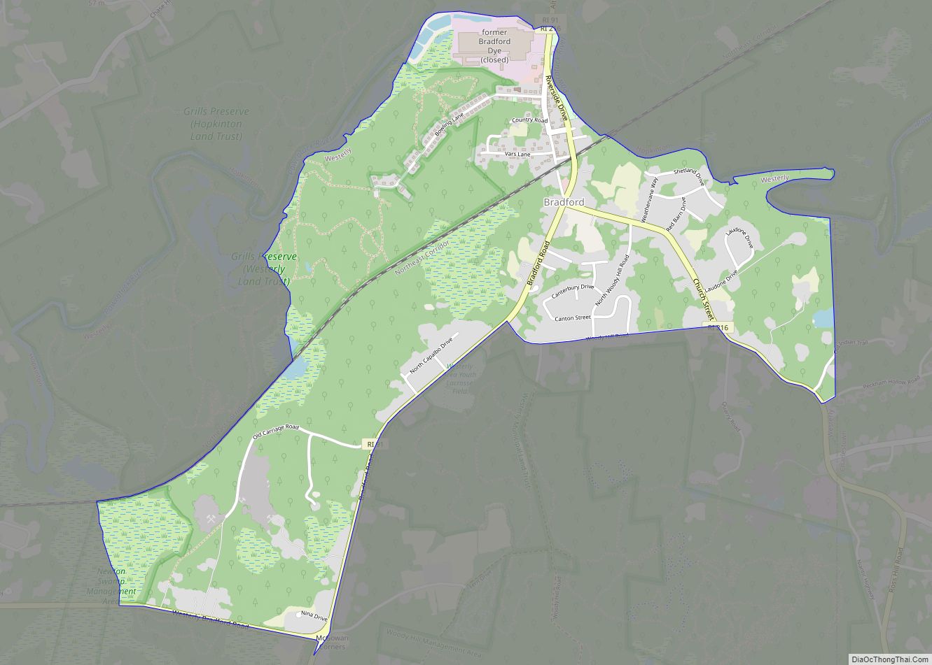
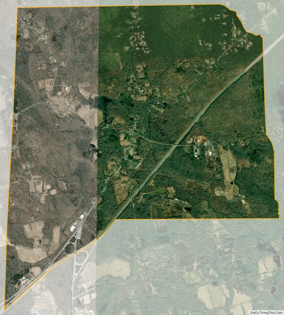
Hopkinton city Satellite Map
See also
Map of Rhode Island State and its subdivision: Map of other states:- Alabama
- Alaska
- Arizona
- Arkansas
- California
- Colorado
- Connecticut
- Delaware
- District of Columbia
- Florida
- Georgia
- Hawaii
- Idaho
- Illinois
- Indiana
- Iowa
- Kansas
- Kentucky
- Louisiana
- Maine
- Maryland
- Massachusetts
- Michigan
- Minnesota
- Mississippi
- Missouri
- Montana
- Nebraska
- Nevada
- New Hampshire
- New Jersey
- New Mexico
- New York
- North Carolina
- North Dakota
- Ohio
- Oklahoma
- Oregon
- Pennsylvania
- Rhode Island
- South Carolina
- South Dakota
- Tennessee
- Texas
- Utah
- Vermont
- Virginia
- Washington
- West Virginia
- Wisconsin
- Wyoming