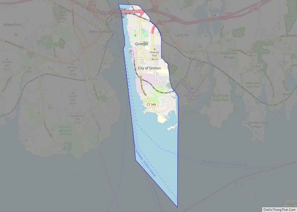
New London is a seaport city and a port of entry on the northeast coast of the United States, located at the mouth of the Thames River in New London County, Connecticut. The city is part of the Southeastern Connecticut Planning Region.
New London is home to the United States Coast Guard Academy, Connecticut College, Mitchell College, and The Williams School. The Coast Guard Station New London and New London Harbor is home port to the Coast Guard Cutter Coho and the Coast Guard’s tall ship Eagle. The city had a population of 27,367 at the 2020 census. The Norwich–New London metropolitan area includes 21 towns and 274,055 people.
| Name: | New London city |
|---|---|
| LSAD Code: | 25 |
| LSAD Description: | city (suffix) |
| State: | Connecticut |
| County: | New London County |
| Elevation: | 56 ft (17 m) |
| Land Area: | 5.62 sq mi (14.56 km²) |
| Water Area: | 4.99 sq mi (12.91 km²) |
| Population Density: | 4,868/sq mi (1,879.6/km²) |
| ZIP code: | 06320 |
| Area code: | 860/959 |
| FIPS code: | 0952280 |
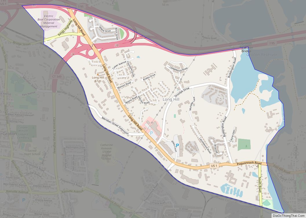
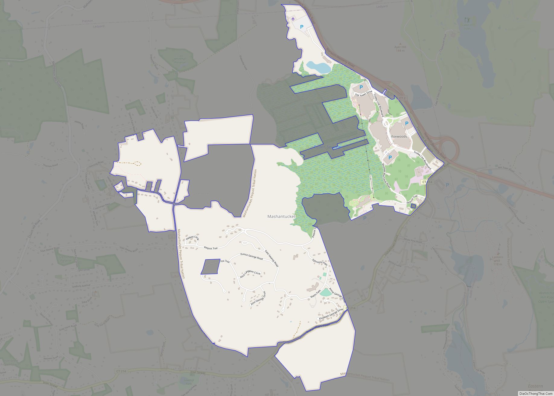
Online Interactive Map
Click on ![]() to view map in "full screen" mode.
to view map in "full screen" mode.
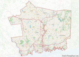
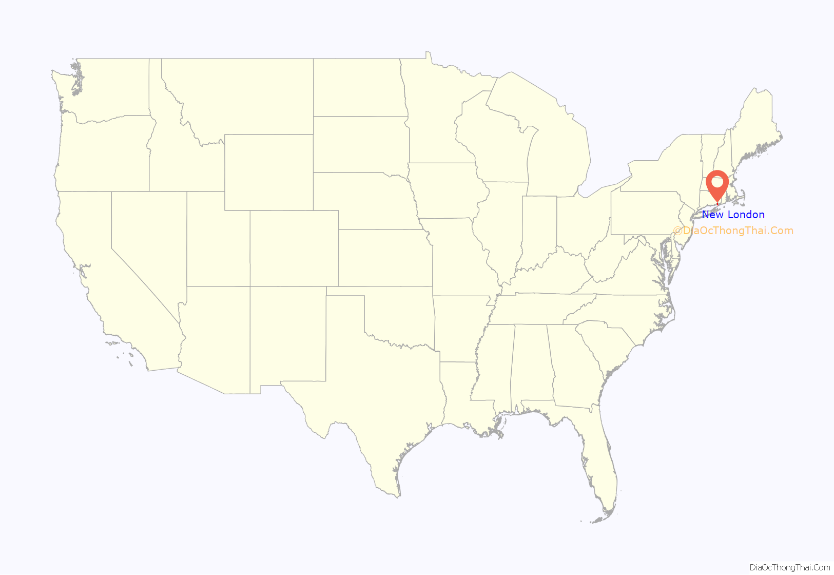
New London location map. Where is New London city?
History
Colonial era
The area was called Nameaug by the Pequot Indians. John Winthrop, Jr. founded the first English settlement here in 1646, making it about the 13th town settled in Connecticut. Inhabitants informally referred to it as Nameaug or as Pequot after the tribe. In the 1650s, the colonists wanted to give the town the official name of London after London, England, but the Connecticut General Assembly wanted to name it Faire Harbour. The citizens protested, declaring that they would prefer it to be called Nameaug if it could not be officially named London. The legislature relented, and the town was officially named New London on March 10, 1658.
American Revolution
The harbor was considered to be the best deep water harbor on Long Island Sound, and consequently New London became a base of American naval operations during the American Revolutionary War and privateers where it has been said no port took more prizes than New London with between 400–800 being credited to New London privateers including the 1781 taking of supply ship Hannah, the largest prize taken during the war. Famous New Londoners during the American Revolution include Nathan Hale, William Coit, Richard Douglass, Thomas and Nathaniel Shaw, Gen. Samuel Parsons, printer Timothy Green, and Bishop Samuel Seabury.
New London was raided and much of it burned to the ground on September 6, 1781 in the Battle of Groton Heights by Norwich native Benedict Arnold in an attempt to destroy the Revolutionary privateer fleet and supplies of goods and naval stores within the city. It is often noted that this raid on New London and Groton was intended to divert General George Washington and the French Army under Rochambeau from their march on Yorktown, Virginia. The main defensive fort for New London was Fort Griswold, located across the Thames River in Groton. It was well known to Arnold, who sold its secrets to the British fleet so that they could avoid its artillery fire. The British overran New London’s Fort Trumbull, while other soldiers moved in to attack Ft. Griswold across the river, commanded by Lieutenant Colonel William Ledyard. The British suffered great casualties at Ft. Griswold before the Americans were finally forced to surrender—whereupon the British stormed into and slaughtered most of the militia who defended it, including Colonel Ledyard. All told, more than 52 British soldiers and 83 defenders were killed, and more than 142 British and 39 defenders were wounded, many mortally. New London suffered over 6 defenders killed and 24 wounded, while Arnold and the British and Hessian raiding party suffered an equal amount.
Connecticut’s independent legislature made New London one of the first two cities brought from de facto to formalized incorporations in its January session of 1784, along with New Haven.
19th century
During the War of 1812, torpedoes were employed in attempts to destroy British vessels and protect American harbors. In fact, a submarine-deployed torpedo was used in an unsuccessful attempt to destroy HMS Ramillies while in New London’s harbor. This prompted British Capt. Hardy to warn the Americans to cease efforts with the use of any “torpedo boat” in this “cruel and unheard-of warfare”, or he would “order every house near the shore to be destroyed”.
For several decades beginning in the early 19th century, New London was one of the three busiest whaling ports in the world, along with Nantucket and New Bedford, Massachusetts. The wealth that whaling brought into the city furnished the capital to fund much of the city’s present architecture.
The New Haven and New London Railroad connected New London by rail to New Haven and points beyond by the 1850s. The Springfield and New London Railroad connected New London to Springfield, Massachusetts, by the 1870s.
Military presence
Several military installations have been part of New London’s history, including the United States Coast Guard Academy and Coast Guard Station New London. Most of these military installations have been located at Fort Trumbull. The first Fort Trumbull was an earthwork built 1775–1777 that took part in the Revolutionary War. The second Fort Trumbull was built 1839–1852 and still stands. By 1910, the fort’s defensive function had been superseded by the new forts of the Endicott Program, primarily located on Fishers Island. The fort was turned over to the Revenue Cutter Service and became the Revenue Cutter Academy. The Revenue Cutter Service was merged into the United States Coast Guard in 1915, and the Academy relocated to its current site in 1932. During World War II, the Merchant Marine Officers Training School was located at Fort Trumbull. From 1950 to 1990, Fort Trumbull was the location for the Naval Underwater Sound Laboratory, which developed sonar and related systems for US Navy submarines. In 1990, the Sound Laboratory was merged with the Naval Underwater Systems Center in Newport, Rhode Island, and the New London facility was closed in 1996.
The Naval Submarine Base New London is physically located in Groton, but submarines were stationed in New London during World War II and from 1951 to 1991. The submarine tender Fulton and Submarine Squadron 10 were based at State Pier in New London during this time. Squadron Ten was usually composed of eight to ten submarines and was the first all-nuclear submarine squadron. USS Fulton was decommissioned, after 50 years of service, in 1991 and Submarine Squadron 10 was disbanded at the same time. In the 1990s, State Pier was rebuilt as a container terminal.
During the Red Summer of 1919, there were a series of racial riots between white and black Navy men stationed in New London and Groton.
Fort Trumbull
The neighborhood of Fort Trumbull once consisted of nearly two-dozen homes, but they were seized by the City of New London using eminent domain. This measure was supported in a 5–4 ruling in the 2005 Supreme Court case Kelo v. City of New London, and the homes were ultimately demolished by the city as part of an economic development plan. The site was slated to be redeveloped under this plan, but the chosen developer was not able to get financing and the project failed. The empty landscape of the Fort Trumbull area has been widely characterized as an example of government overreach and inefficiency.
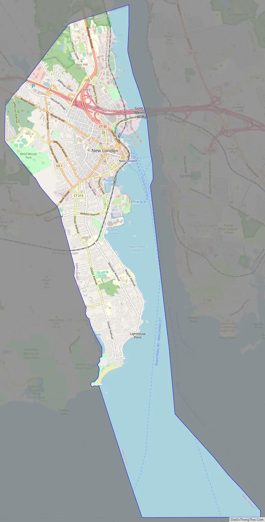
New London Road Map
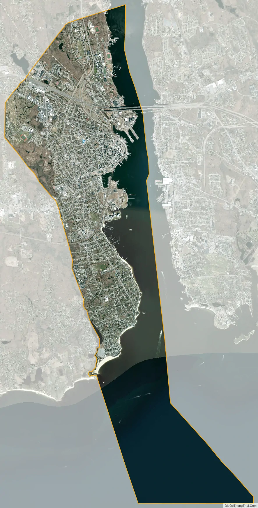
New London city Satellite Map
Geography
In terms of land area, New London is one of the smallest cities in Connecticut. Of the whole 10.76 square miles (27.9 km), nearly half is water; 5.54 square miles (14.3 km) is land.
The town and city of New London are coextensive. Sections of the original town were ceded to form newer towns between 1705 and 1801. The towns of Groton, Ledyard, Montville, and Waterford, and portions of Salem and East Lyme, now occupy what had earlier been the outlying area of New London.
New London is bounded on the west and north by the town of Waterford on the east by the Thames River and Groton and on the south by Long Island Sound.
Principal communities
- Downtown New London
- Ocean Beach
Other minor communities and geographic features include Bates Woods Park, Fort Trumbull, Glenwood Park, Green’s Harbor Beach, Mitchell’s Woods, Pequot Colony, Riverside Park, Old Town Mill.
Towns created from New London
New London originally had a larger land area when it was established. Towns set off since include:
- Stonington in 1649
- Groton in 1705
- Ledyard (originally North Groton) created from a part of Groton in 1836.
- Montville in 1786.
- Salem created from parts of Montville, Colchester, and Lyme in 1819
- Waterford in 1801.
- East Lyme created from parts of Waterford and Lyme in 1839.
- Fishers Island officially left Connecticut and became part of New York in 1879.
Climate
Using the Köppen climate classification New London has a temperate climate (called Humid Subtropical in some climate classifications). This zone is defined as having a monthly mean temperature above 26.4 °F (−3 C) but below 64.4 °F (18 C) in the coldest month.
The city experiences long, hot and humid summers, and cool to cold winters with snowfall on occasion. The city averages 2,300 hours of sunshine annually (higher than the USA average). New London lies in the broad transition zone between continental climates to the north in New England and southern Canada, and the Humid subtropical climates to the south of the middle and south Atlantic states.
From May to late September, the southerly flow from the Bermuda High creates hot and humid tropical weather conditions. Daytime heating produces occasional thunderstorms with heavy but brief downpours. Daytime highs in summer are normally near 80 °F, with occasional heat waves bringing high temperatures into the 90’s °F. Spring and Fall are mild in New London, with daytime highs in the 55° to 70 °F range and lows in the 40° to 50 °F range. The seaside location of the city creates a long growing season compared to areas inland. The first frost in the New London area is normally not until late October or early November, almost three weeks later than parts of northern Connecticut. Winters are cool with a mix of rainfall and snowfall, or mixed precipitation. New London normally sees fewer than 25 days annually with snow cover. In mid-winter, there can be large differences in low temperatures between areas along the coastline and areas well inland, sometimes as much as 15 °F.
Tropical cyclones (hurricanes/tropical storms) have struck Connecticut and the New London metropolitan area, although infrequently. Hurricane landfalls have occurred along the Connecticut coast in 1903, 1938, 1944, 1954 (Carol), 1960 (Donna), 1985 (Gloria). Tropical Storm Irene (2011) also caused moderate damage along the Connecticut coast, as did Hurricane Sandy (which made landfall in New Jersey) in 2012.
The Connecticut shoreline (including New London) lies within the broad transition zone where so-called “subtropical indicator” plants and other broadleaf evergreens can successfully be cultivated. New London averages about 90 days annually with freeze, about the same as Baltimore, Maryland. As such, many varieties of Southern Magnolia, Needle Palms, Loblolly and Longleaf Pines, Crape Myrtles, Aucuba japonica, Camellia, trunking Yucca, hardy bananas, Monkey Puzzle, copious types of evergreen Hollies, many East Asian (non-holly) broadleaf evergreen trees and shrubs, and certain varieties of figs may be grown in private and public gardens. The growing season is quite long in New London. Like much of coastal Connecticut and Long Island, NY, it averages close to 200 frost free days.
New London lies at the cusp of USDA hardiness zones 6 and 7 (6b and 7a), with the southern quarter or so of land area in the city being in zone 7 according to the latest released hardiness zone map, making it similar in expected extreme minimum annual temperature to places like Harrisburg, Pennsylvania, Trenton, New Jersey, the Shenandoah Valley of Virginia, much of north-central Tennessee and the Ozarks of northern Arkansas. By the mid-to-late 21st century, the area is expected to fall within USDA zone 8 according to some models.
Due to climate change, certain low-lying areas such as Ocean Beach in the southern part of the city are susceptible to rising sea levels and increasingly powerful fall/winter noreasters and summer/fall hurricanes.
See also
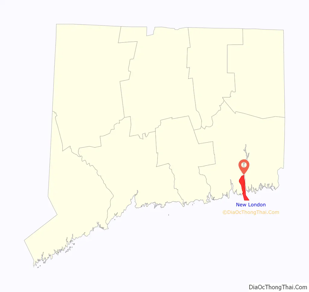
Map of Connecticut State and its subdivision: Map of other states:- Alabama
- Alaska
- Arizona
- Arkansas
- California
- Colorado
- Connecticut
- Delaware
- District of Columbia
- Florida
- Georgia
- Hawaii
- Idaho
- Illinois
- Indiana
- Iowa
- Kansas
- Kentucky
- Louisiana
- Maine
- Maryland
- Massachusetts
- Michigan
- Minnesota
- Mississippi
- Missouri
- Montana
- Nebraska
- Nevada
- New Hampshire
- New Jersey
- New Mexico
- New York
- North Carolina
- North Dakota
- Ohio
- Oklahoma
- Oregon
- Pennsylvania
- Rhode Island
- South Carolina
- South Dakota
- Tennessee
- Texas
- Utah
- Vermont
- Virginia
- Washington
- West Virginia
- Wisconsin
- Wyoming