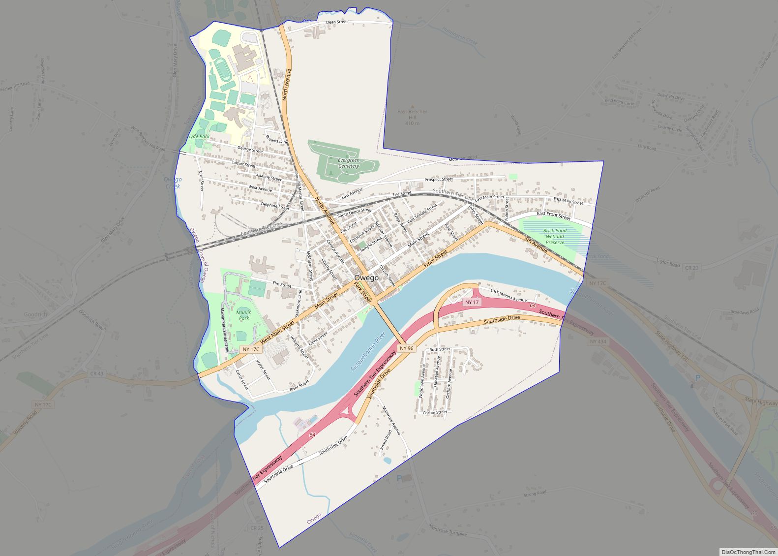
Owego is a village in and the county seat of Tioga County, New York, United States. The population was 3,896 at the 2010 census. It is part of the Binghamton Metropolitan Statistical Area. The name is derived from the Iroquois word Ahwaga, meaning where the valley widens.
The Village of Owego is by the west town line of the Town of Owego and is west of Binghamton, New York.
Owego is one of only twelve villages in New York still incorporated under a charter; all other New York villages have incorporated or re-incorporated under the provisions of Village Law.
| Name: | Owego village |
|---|---|
| LSAD Code: | 47 |
| LSAD Description: | village (suffix) |
| State: | New York |
| County: | Tioga County |
| Incorporated: | April 4, 1827 (1827-04-04) |
| Elevation: | 814 ft (248 m) |
| Total Area: | 2.78 sq mi (7.20 km²) |
| Land Area: | 2.55 sq mi (6.60 km²) |
| Water Area: | 0.23 sq mi (0.60 km²) |
| Total Population: | 3,654 |
| Population Density: | 1,434.07/sq mi (553.68/km²) |
| ZIP code: | 13827 |
| Area code: | 607 |
| FIPS code: | 3655882 |
| GNISfeature ID: | 0959672 |
| Website: | www.villageofowego.com |
Online Interactive Map
Click on ![]() to view map in "full screen" mode.
to view map in "full screen" mode.
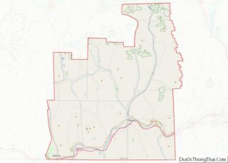
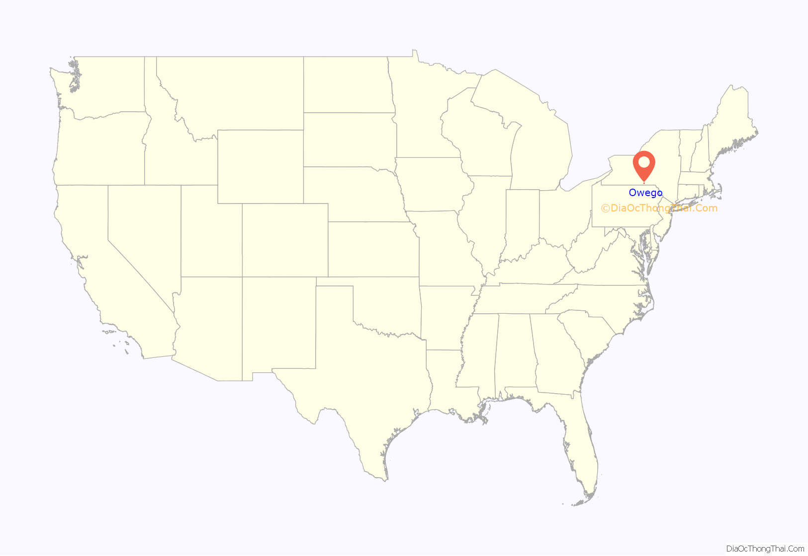
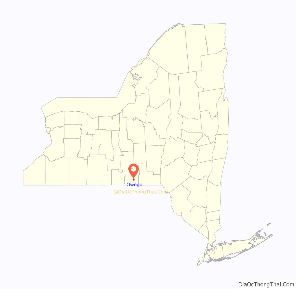
Owego location map. Where is Owego village?
History
The village of Owego was established in 1787. When the “Town of Tioga” was created from the Town of Union, Owego village was in Tioga. In 1813, Tioga and Owego switched names, putting the village in the same-named town. The current Town of Tioga is now just west of the village. The village is in the Owego-Apalachin Central School District. Three district buildings are within the village’s limits: The District Office Building, the Owego Elementary School, and the combined Owego-Apalachin Middle School and Owego Free Academy building, all on Sheldon Guile Boulevard.
On September 27, 1849, a large conflagration now known as “The Great Fire of Owego” began in the Temperance Hall of the Ely building. 104 buildings within the business district were completely burned to the ground.
The Evergreen Cemetery, St. Paul’s Church, Owego Central Historic District, Tioga County Courthouse, and United States Post Office are listed on the National Register of Historic Places. The James C. Beecher House was listed in 2012.
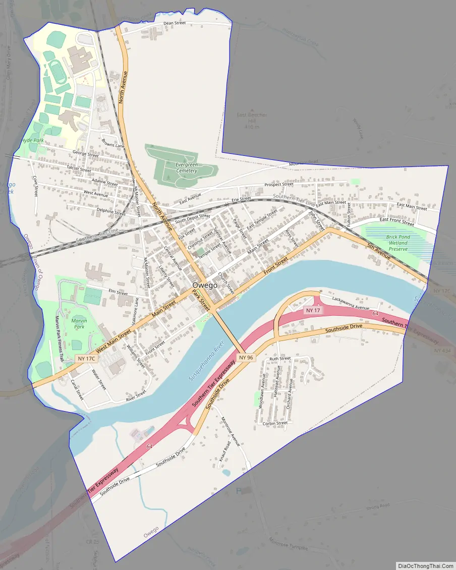
Owego Road Map
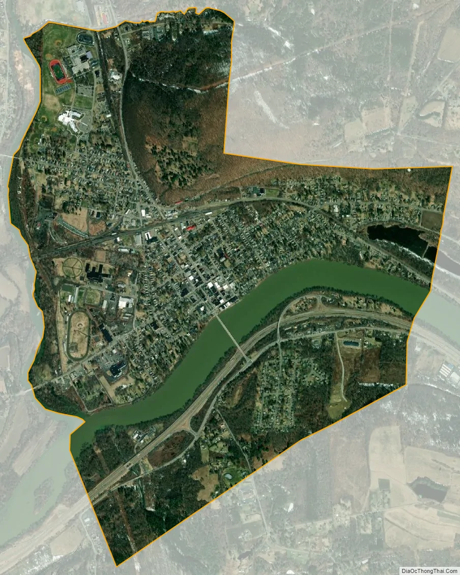
Owego city Satellite Map
Geography
According to the United States Census Bureau, the village has a total area of 2.7 square miles (7.0 km), of which, 2.5 square miles (6.5 km) of it is land and 0.2 square miles (0.6 km) of it (8.12%) is water.
Owego is on the Susquehanna River where the Owego Creek flows into the Susquehanna from the north.
A bridge connects the village to the Southern Tier Expressway (New York State Route 17), which is on the south side of the river. Owego is located on NY-17C, south of the junction of NY-96 and NY-38.
See also
Map of New York State and its subdivision:- Albany
- Allegany
- Bronx
- Broome
- Cattaraugus
- Cayuga
- Chautauqua
- Chemung
- Chenango
- Clinton
- Columbia
- Cortland
- Delaware
- Dutchess
- Erie
- Essex
- Franklin
- Fulton
- Genesee
- Greene
- Hamilton
- Herkimer
- Jefferson
- Kings
- Lake Ontario
- Lewis
- Livingston
- Madison
- Monroe
- Montgomery
- Nassau
- New York
- Niagara
- Oneida
- Onondaga
- Ontario
- Orange
- Orleans
- Oswego
- Otsego
- Putnam
- Queens
- Rensselaer
- Richmond
- Rockland
- Saint Lawrence
- Saratoga
- Schenectady
- Schoharie
- Schuyler
- Seneca
- Steuben
- Suffolk
- Sullivan
- Tioga
- Tompkins
- Ulster
- Warren
- Washington
- Wayne
- Westchester
- Wyoming
- Yates
- Alabama
- Alaska
- Arizona
- Arkansas
- California
- Colorado
- Connecticut
- Delaware
- District of Columbia
- Florida
- Georgia
- Hawaii
- Idaho
- Illinois
- Indiana
- Iowa
- Kansas
- Kentucky
- Louisiana
- Maine
- Maryland
- Massachusetts
- Michigan
- Minnesota
- Mississippi
- Missouri
- Montana
- Nebraska
- Nevada
- New Hampshire
- New Jersey
- New Mexico
- New York
- North Carolina
- North Dakota
- Ohio
- Oklahoma
- Oregon
- Pennsylvania
- Rhode Island
- South Carolina
- South Dakota
- Tennessee
- Texas
- Utah
- Vermont
- Virginia
- Washington
- West Virginia
- Wisconsin
- Wyoming