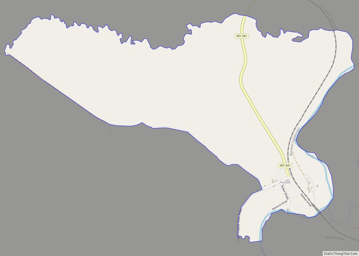
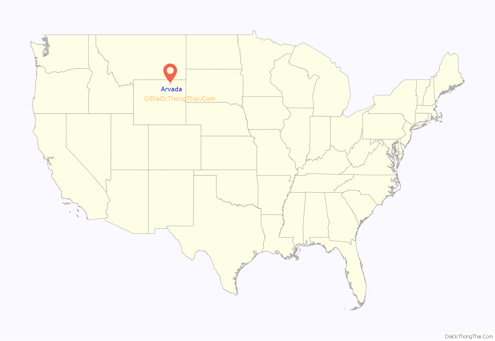
Arvada is a census-designated place in Sheridan County, Wyoming, United States. The population was 33 at the 2020 census.
According to the United States Census Bureau, the CDP has a total area of 1.75 square miles (4.5 square kilometres), all land.
| Name: | Arvada CDP |
|---|---|
| LSAD Code: | 57 |
| LSAD Description: | CDP (suffix) |
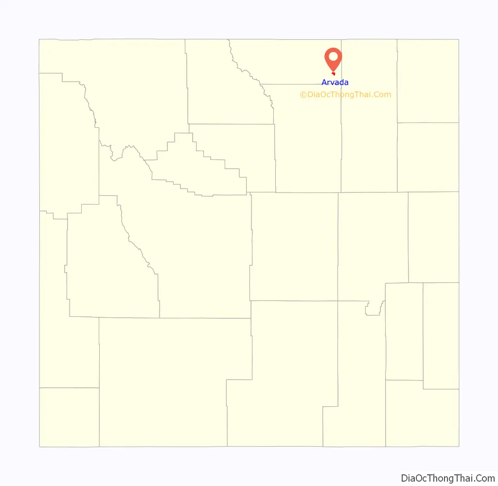
| State: | Wyoming |
| County: | Sheridan County |
| Elevation: | 3,671 ft (1,119 m) |
| Total Area: | 1.75 sq mi (4.5 km²) |
| Land Area: | 1.75 sq mi (4.5 km²) |
| Water Area: | 0.0 sq mi (0 km²) |
| Total Population: | 33 |
| Population Density: | 19/sq mi (7.3/km²) |
| ZIP code: | 82831 |
| Area code: | 307 |
| FIPS code: | 5603725 |
| GNISfeature ID: | 1609064 |
Online Interactive Map
Click on ![]() to view map in "full screen" mode.
to view map in "full screen" mode.
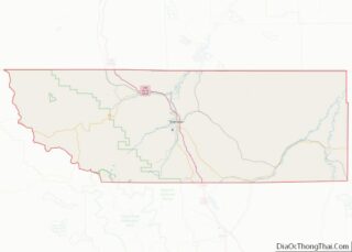
Arvada location map. Where is Arvada CDP?
History
Arvada, Wyoming, is located on the west bank of the Powder River, about fifty miles northwest of Gillette. From 1888 to 1891, a stage line that ran from Sundance to Buffalo crossed the Powder River on a ferry boat at the future site of Arvada. The town of Suggs, Wyoming, was established on the east bank of the river in 1891, and a post office opened September 14, 1891. Suggs was named for a local rancher.
During the summer of 1892, railroad crews working on the Burlington and Missouri River Railroad, built a bridge across the Powder River at Suggs, although the railroad had only reached Gillette at that point in time. Suggs quickly became an “end of tracks town” with bars, brothels, and gambling establishments.
During the Johnson County War of 1892, a group of Buffalo Soldiers from Fort Robinson, took the train to Gillette, and marched to Suggs. There the black soldiers built “Camp Bettens” in spite of a hostile and racist local population. One black soldier was killed and two wounded in gun battles with locals in a fight known as the “Battle of Suggs.” Camp Bettens was built in mid-June 1892, and was abandoned in mid-November
When the railroad reached Suggs in 1892, railroad officials planned the new town of Arvada on the west bank of the Powder River, and Suggs was abandoned. The post office was moved from Suggs to Arvada on July 20, 1893.
The Arvada area has deposits of coal at a shallow depth, and in the early days, local wells produced natural gas in solution in the drinking water. The drinking water would catch on fire, and could burn.
In the first decade of the 21st century, Arvada was included by the United States Census Bureau in a census designated place which was then named for the town. In 2011, the US Postal Service proposed closing the Arvada post office along with 42 other Wyoming post offices.
Arvada Road Map
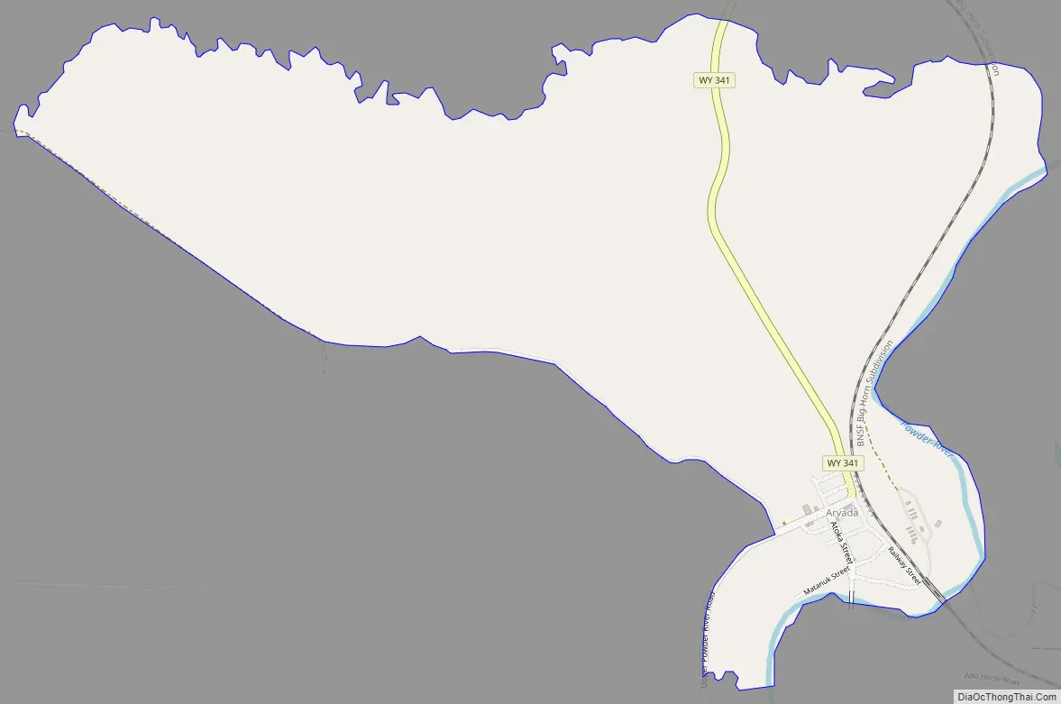
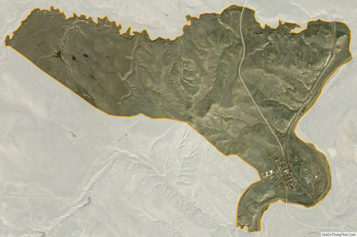
Arvada city Satellite Map
See also
Map of Wyoming State and its subdivision: Map of other states:- Alabama
- Alaska
- Arizona
- Arkansas
- California
- Colorado
- Connecticut
- Delaware
- District of Columbia
- Florida
- Georgia
- Hawaii
- Idaho
- Illinois
- Indiana
- Iowa
- Kansas
- Kentucky
- Louisiana
- Maine
- Maryland
- Massachusetts
- Michigan
- Minnesota
- Mississippi
- Missouri
- Montana
- Nebraska
- Nevada
- New Hampshire
- New Jersey
- New Mexico
- New York
- North Carolina
- North Dakota
- Ohio
- Oklahoma
- Oregon
- Pennsylvania
- Rhode Island
- South Carolina
- South Dakota
- Tennessee
- Texas
- Utah
- Vermont
- Virginia
- Washington
- West Virginia
- Wisconsin
- Wyoming