Wamsutter is a town in Sweetwater County, Wyoming, United States. The population was 203 at the 2020 census.
The original inhabitants of the area were the Shoshone and Ute tribes. Westerners only began to settle in the county with the coming of the railroad in the 1860s. Originally, the town was known as Washakie. Confusion with nearby Fort Washakie prompted an 1884 name change to Wamsutter, after a Union Pacific bridge engineer.
The town, which bills itself as “The Gateway to the Red Desert” is located along Interstate 80 between Rawlins and Rock Springs, on the easternmost border of Sweetwater County. The natural gas industry has exerted great influence on Wamsutter in recent years, through employment opportunities in the area, and by contributing to the community directly.
Wamsutter is the largest settlement, and the only incorporated town in the Great Divide Basin.
| Name: | Wamsutter town |
|---|---|
| LSAD Code: | 43 |
| LSAD Description: | town (suffix) |
| State: | Wyoming |
| County: | Sweetwater County |
| Elevation: | 6,746 ft (2,056 m) |
| Total Area: | 1.63 sq mi (4.21 km²) |
| Land Area: | 1.63 sq mi (4.21 km²) |
| Water Area: | 0.00 sq mi (0.00 km²) |
| Total Population: | 203 |
| Population Density: | 287.03/sq mi (110.82/km²) |
| ZIP code: | 82336 |
| Area code: | 307 |
| FIPS code: | 5681300 |
| GNISfeature ID: | 1609172 |
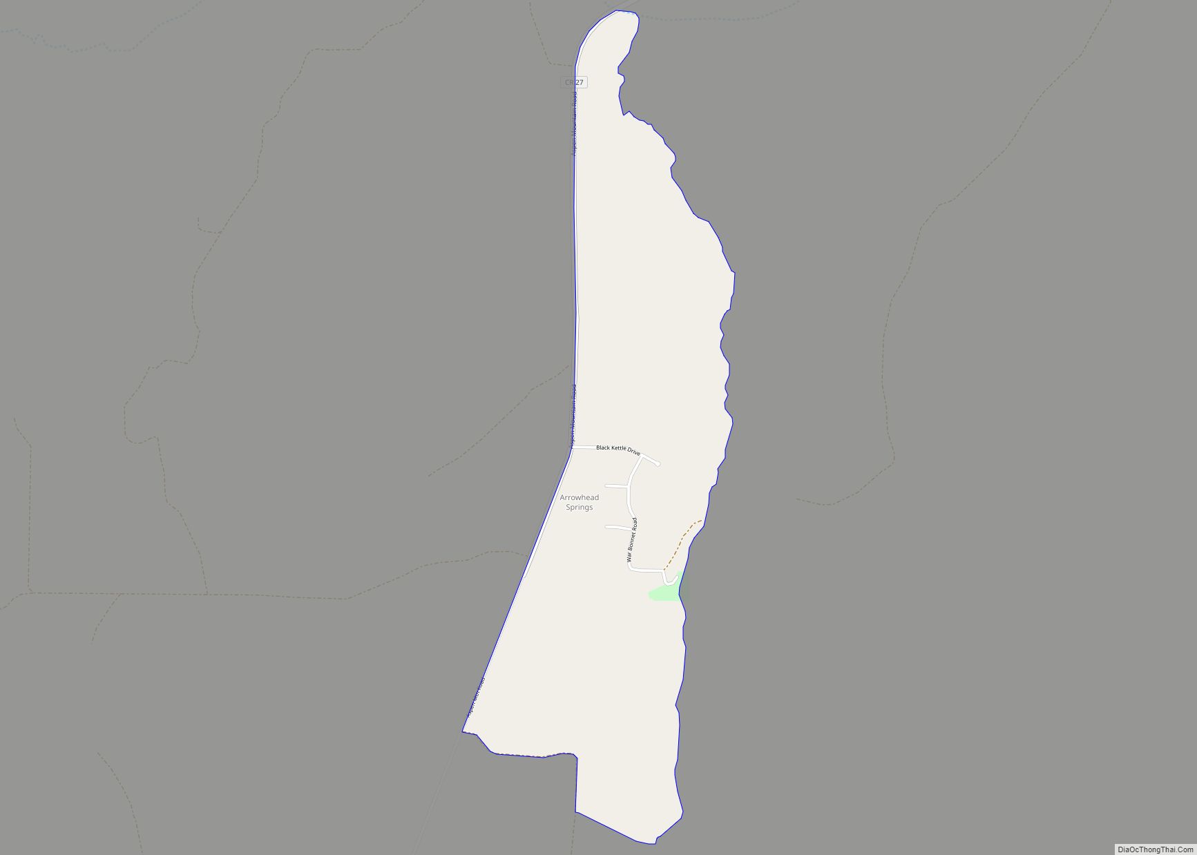
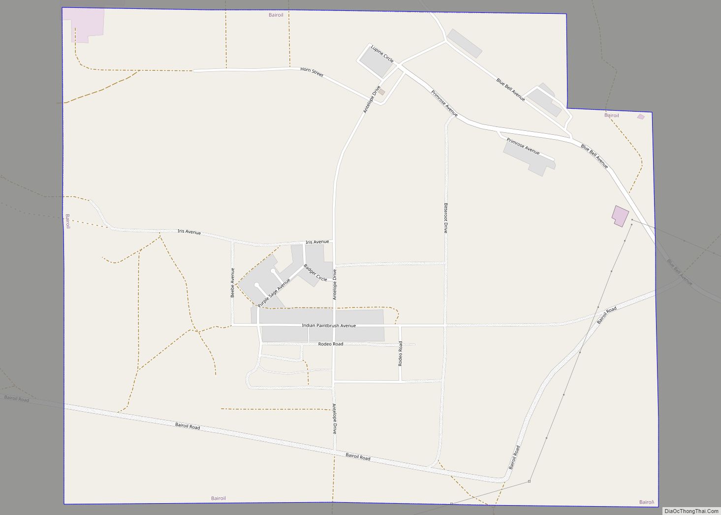
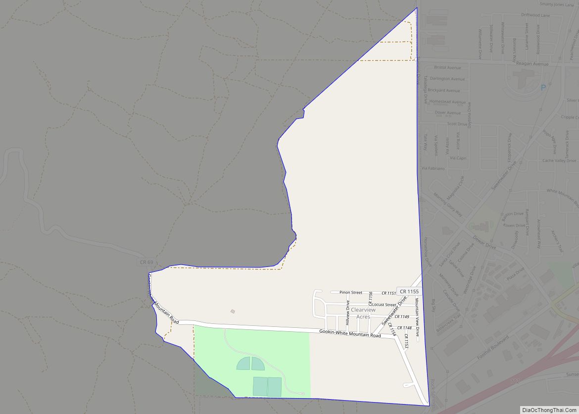
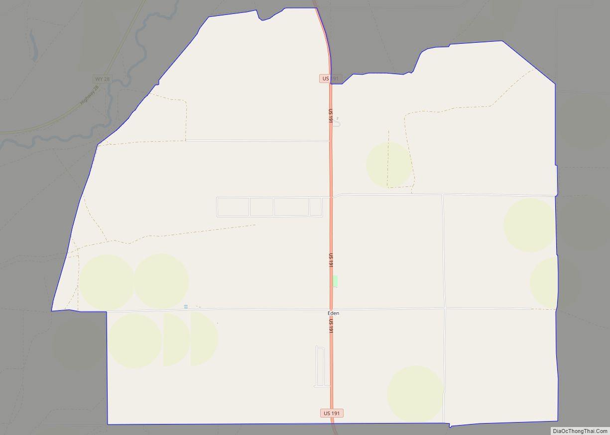
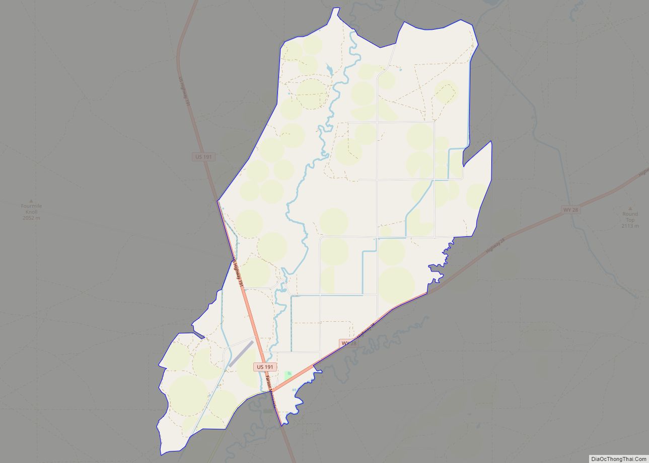
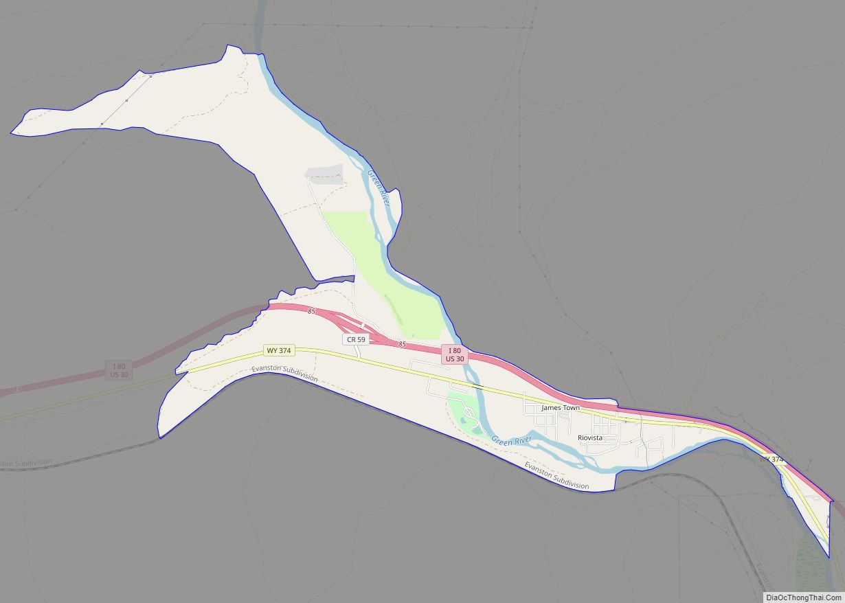
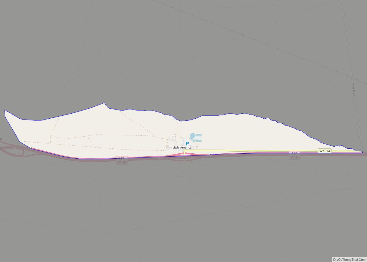
Online Interactive Map
Click on ![]() to view map in "full screen" mode.
to view map in "full screen" mode.
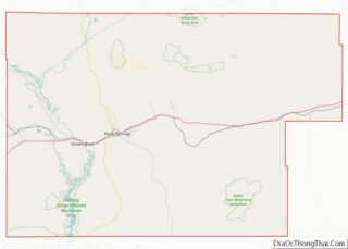
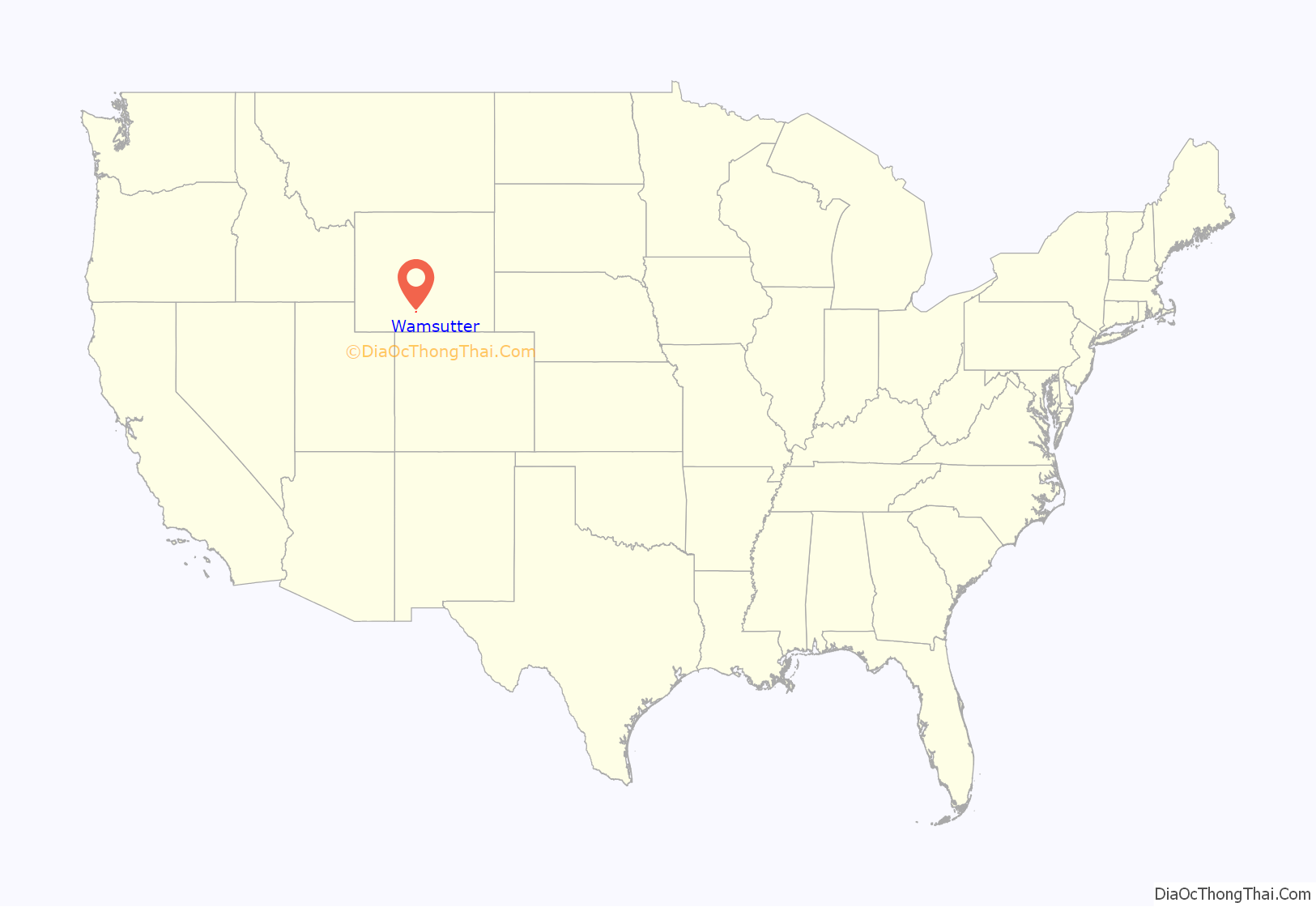
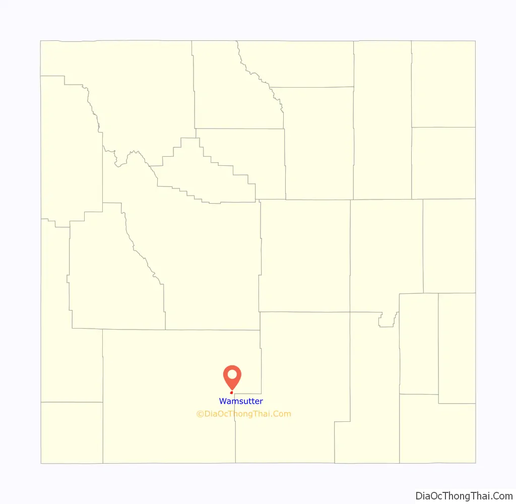
Wamsutter location map. Where is Wamsutter town?
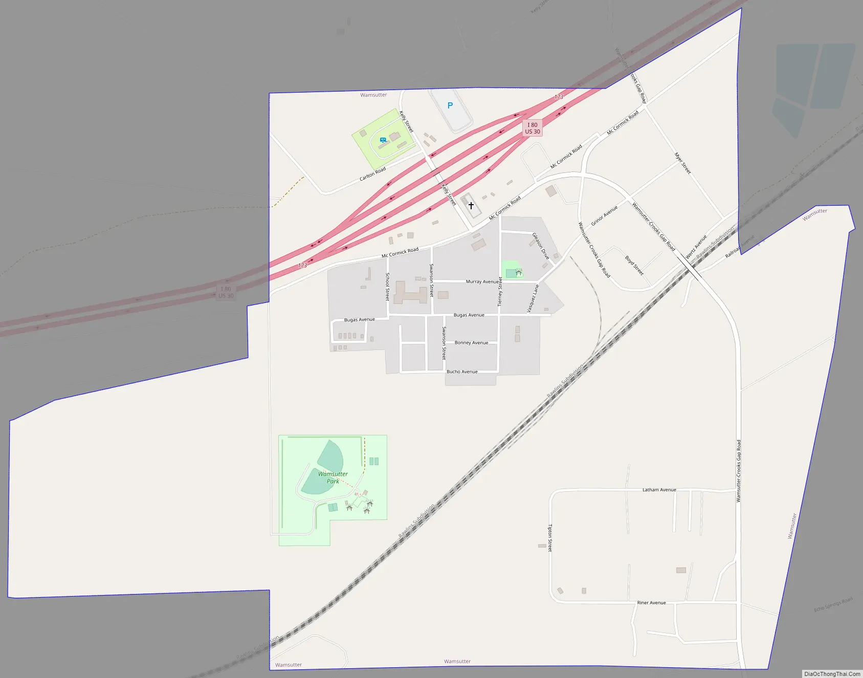
Wamsutter Road Map
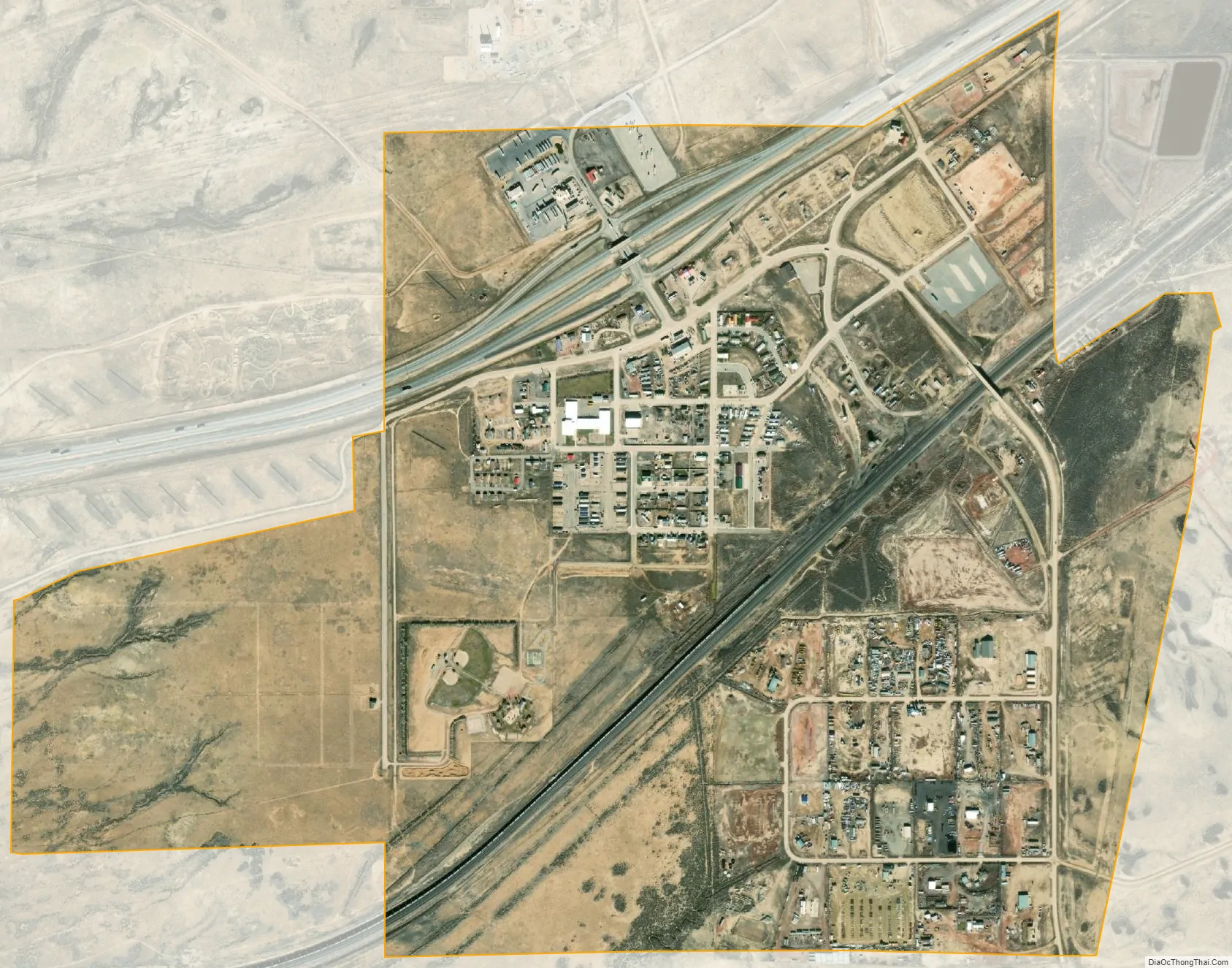
Wamsutter city Satellite Map
Geography
Wamsutter is located at 41°40′15″N 107°58′39″W / 41.67083°N 107.97750°W / 41.67083; -107.97750 (41.670839, –107.977457).
According to the United States Census Bureau, the town has a total area of 1.45 square miles (3.76 km), all land.
See also
Map of Wyoming State and its subdivision: Map of other states:- Alabama
- Alaska
- Arizona
- Arkansas
- California
- Colorado
- Connecticut
- Delaware
- District of Columbia
- Florida
- Georgia
- Hawaii
- Idaho
- Illinois
- Indiana
- Iowa
- Kansas
- Kentucky
- Louisiana
- Maine
- Maryland
- Massachusetts
- Michigan
- Minnesota
- Mississippi
- Missouri
- Montana
- Nebraska
- Nevada
- New Hampshire
- New Jersey
- New Mexico
- New York
- North Carolina
- North Dakota
- Ohio
- Oklahoma
- Oregon
- Pennsylvania
- Rhode Island
- South Carolina
- South Dakota
- Tennessee
- Texas
- Utah
- Vermont
- Virginia
- Washington
- West Virginia
- Wisconsin
- Wyoming