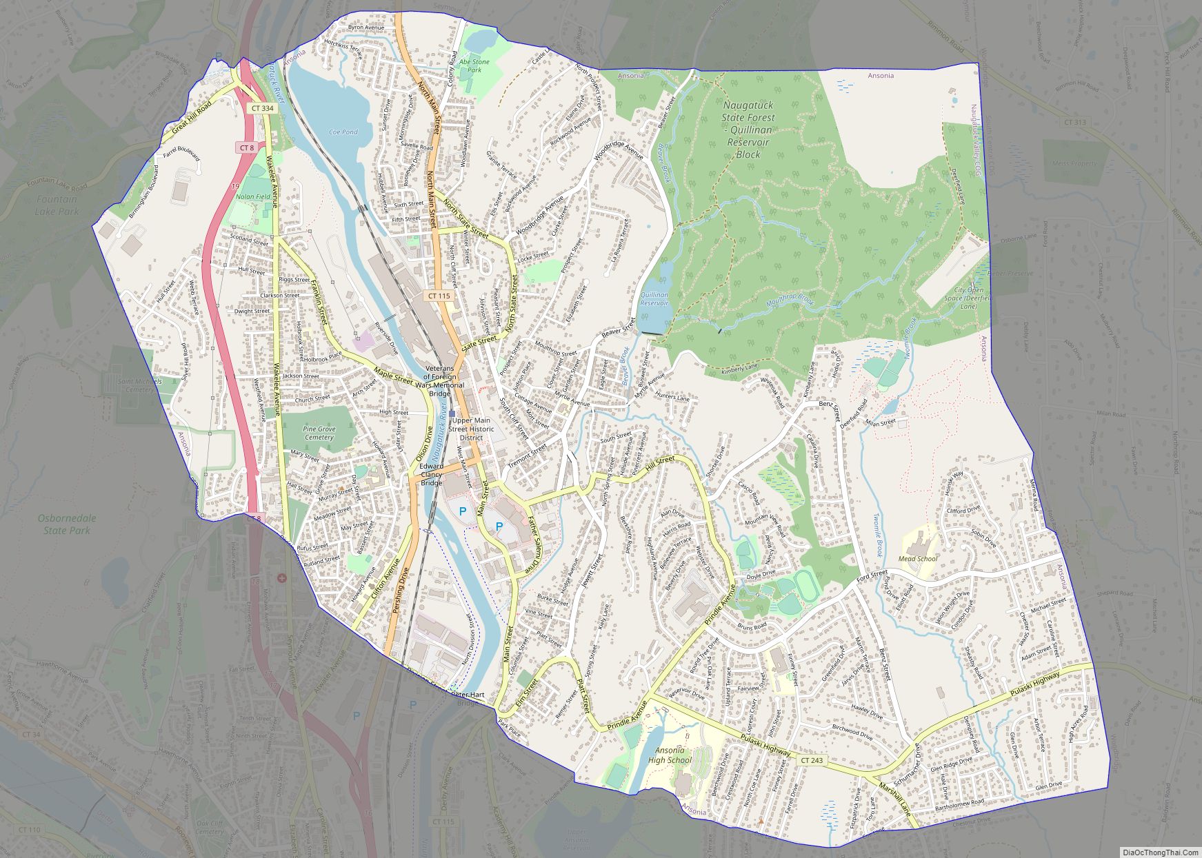
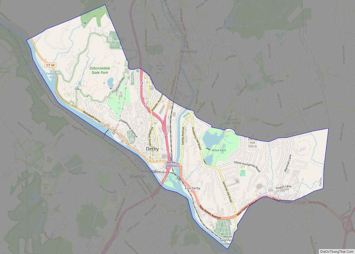
Derby /ˈdɜːrbi/ is a city in New Haven County, Connecticut, United States, approximately 8 miles (13 km) west-northwest of New Haven. It is located in southwest Connecticut at the confluence of the Housatonic and Naugatuck rivers. It shares borders with the cities of Ansonia to the north and Shelton to the southwest, and the towns of Orange to the south, Seymour to the northwest, and Woodbridge to the east. The city is part of the Naugatuck Valley Planning Region. The population was 12,325 at the 2020 census. It is the smallest city in Connecticut by area, at 5.3 square miles (14 km).
Derby was settled in 1642 as an Indian trading post under the name Paugasset. It was named after Derby, England, in 1675. It included what are now Ansonia, Seymour, Oxford, and parts of Beacon Falls.
Derby is home to the first electric trolley system in New England, only the second in the United States. It is also home to the first electric locomotive in U.S. history to be built and successfully used commercially for hauling freight. The locomotive, built in 1888, is still kept in running condition by the Shore Line Trolley Museum.
| Name: | Derby city |
|---|---|
| LSAD Code: | 25 |
| LSAD Description: | city (suffix) |
| State: | Connecticut |
| County: | New Haven County |
| Land Area: | 5.06 sq mi (13.09 km²) |
| Water Area: | 0.35 sq mi (0.91 km²) |
| Population Density: | 2,435.8/sq mi (941.6/km²) |
| ZIP code: | 06418 |
| Area code: | 203/475 |
| FIPS code: | 0919480 |
| GNISfeature ID: | 0206671 |
| Website: | www.derbyct.gov |
Online Interactive Map
Click on ![]() to view map in "full screen" mode.
to view map in "full screen" mode.
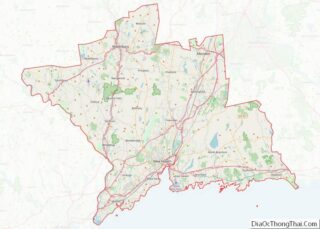
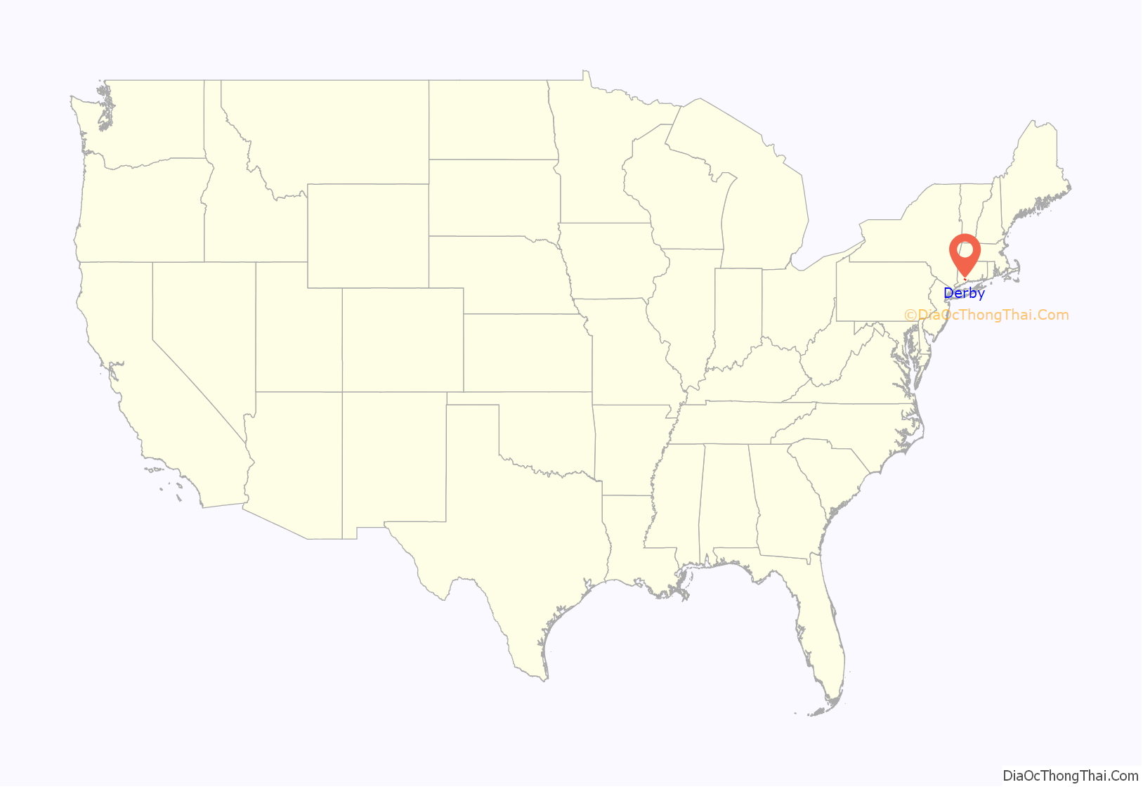
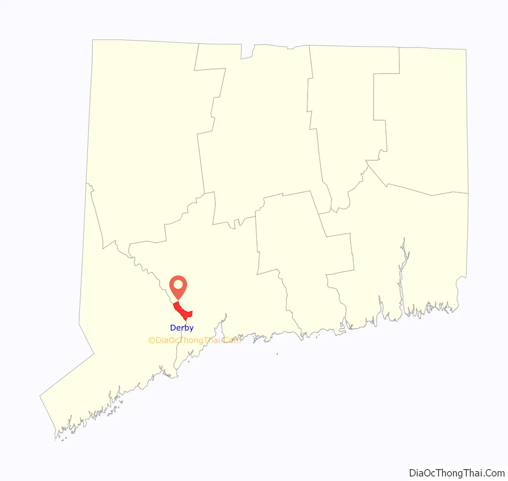
Derby location map. Where is Derby city?
History
Colonial and Revolutionary era
Derby was settled in 1642 as an Indian trading post under the name Paugasset by John Wakeman of New Haven, though fur traders had been in the area before and Native Americans had lived there for centuries. In 1651, the first year-round houses were completed, at which time the New Haven Colony had recognized Paugasset as a town. The residents of the town of Milford protested Paugasset’s recognition as an independent town and, as a result, the order was rescinded and Paugasset returned to the Milford jurisdiction. In 1675, the former plantation of Paugasset was admitted as the township of Derby by the state legislature, named after Derby, England. Derby was incorporated on May 13, 1775.
1800s
In 1836, the Colman brothers began the Birmingham Iron Foundry on the corner of Main Street and Water Street. It employed between 100 and 125 people, and was one of the many manufacturing businesses thriving in the city in the 1800s. In 1927, the company merged with Farrel Corporation of nearby Ansonia and was renamed Farrel-Birmingham Corporation. The Derby facility closed and was razed in 2000 to make way for a Home Depot. The Ansonia division is still in business, and opened their new plant in the Fountain Lake Commerce Park in 2017.
In the 19th century, corsets and hoop skirts were manufactured in the city. The Kraus Corset Factory is the oldest major factory building to survive from Derby’s corset manufacturing period. It was built by Sidney A. Downs, opened in 1879, and expanded in 1910. In 1987 it was added to the National Register of Historic Places. In the 1990s it was converted to apartments and underwent a second addition; a first floor parking garage and three stories of apartments were added on the north side along Roosevelt Drive (Connecticut Route 34).
In 1872, the Derby Silver Company began production. In 1898, the company became a division of the International Silver Company headquartered in Meriden, but continued making silver with its brand name until 1933.
1900s
Charlton Comics, a comic book publishing company that existed from 1944 to 1986, was based in town.
Towns created from Derby
- Oxford in 1798
- Seymour in 1850
- Beacon Falls in 1871 (also partly from neighboring towns)
- Ansonia in 1889
Neighborhoods
- Downtown
- West Derby
- Derby Neck
- East Derby
- Hilltop
Derby Road Map

Derby city Satellite Map
Geography
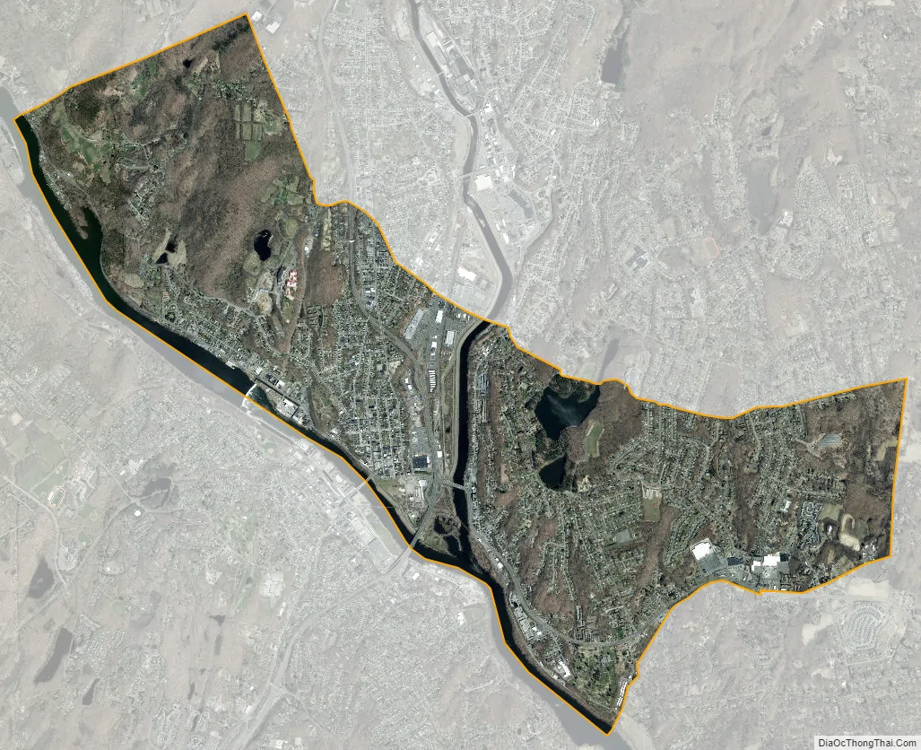
According to the United States Census Bureau, the town has a total area of 5.4 square miles (8.7 km), of which, 5.0 square miles (13 km) is land and 0.4 square miles (1.0 km) (7.41%) is water. The city is home to the 417 acres (0.652 sq mi) Osbornedale State Park. Derby is divided into two main sections by the Naugatuck River: East Derby and Derby Center (Birmingham). The center of Derby is approximately 66 miles (106 km) from New York City. The lowest elevation is 3 ft (1m) and the highest elevation is 466 ft (142m) above sea level.
See also
Map of Connecticut State and its subdivision: Map of other states:- Alabama
- Alaska
- Arizona
- Arkansas
- California
- Colorado
- Connecticut
- Delaware
- District of Columbia
- Florida
- Georgia
- Hawaii
- Idaho
- Illinois
- Indiana
- Iowa
- Kansas
- Kentucky
- Louisiana
- Maine
- Maryland
- Massachusetts
- Michigan
- Minnesota
- Mississippi
- Missouri
- Montana
- Nebraska
- Nevada
- New Hampshire
- New Jersey
- New Mexico
- New York
- North Carolina
- North Dakota
- Ohio
- Oklahoma
- Oregon
- Pennsylvania
- Rhode Island
- South Carolina
- South Dakota
- Tennessee
- Texas
- Utah
- Vermont
- Virginia
- Washington
- West Virginia
- Wisconsin
- Wyoming