Collinsville is a village and census-designated place (CDP) in the town of Canton, Hartford County, Connecticut, United States. The population was 3,746 at the 2010 census. The central portion of the village is a historic district listed on the National Register of Historic Places.
It was built around the Collins Company Axe Factory, a manufacturer of edge tools, such as axes, machetes, picks and knives. Collins machetes were the brand of choice in South America. Collins tools were used almost exclusively for the construction of the Trans-Siberian Railway, and axes and picks made their way across the country to be used in the California Gold Rush. Admiral Peary carried Collins tools to the North Pole.
Typical of New England mills, the Collins Company axe factory was sited on a river (the Farmington), and their production was powered by utilizing the water’s strength to turn turbines and power machines. The numerous old buildings ramble along the riverbanks intertwined by an intricate maze of sluices that run throughout the site. The company closed its doors in 1966, but the factory buildings stayed standing and are now rented out to local businesses. The ambiance of Main Street reflects period architecture with ornate details from the start of the 20th century.
| Name: | Collinsville CDP |
|---|---|
| LSAD Code: | 57 |
| LSAD Description: | CDP (suffix) |
| State: | Connecticut |
| County: | Hartford County |
| FIPS code: | 0916120 |
Online Interactive Map
Click on ![]() to view map in "full screen" mode.
to view map in "full screen" mode.
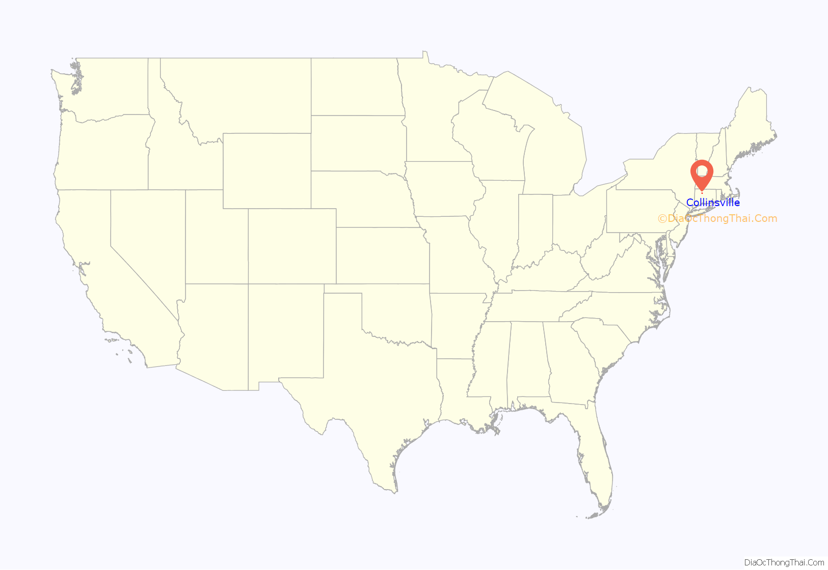
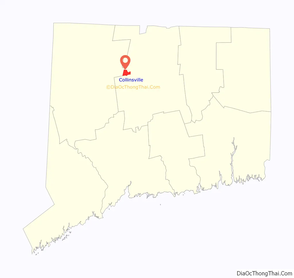
Collinsville location map. Where is Collinsville CDP?
History
According to historian Diana Muir writing in Reflections in Bullough’s Pond, it was in Collinsville that Elisha Root invented the important industrial technique of die casting. Root was employed by Samuel W. Collins whose Collins and Company was the largest manufacturer of axes in the nineteenth century. Other famous historical residents of Collinsville included George Washington Flint and William E. Simonds.
Collinsville hosts an annual Halloween Parade through the historic town. The parade is held on the last Saturday of October at 7 p.m. Children’s activities begin at 6 p.m.
Collinsville was voted one of the “Top 10 Coolest Small Towns in America” in the September 2007 issue of Arthur Frommer’s Budget Travel magazine.
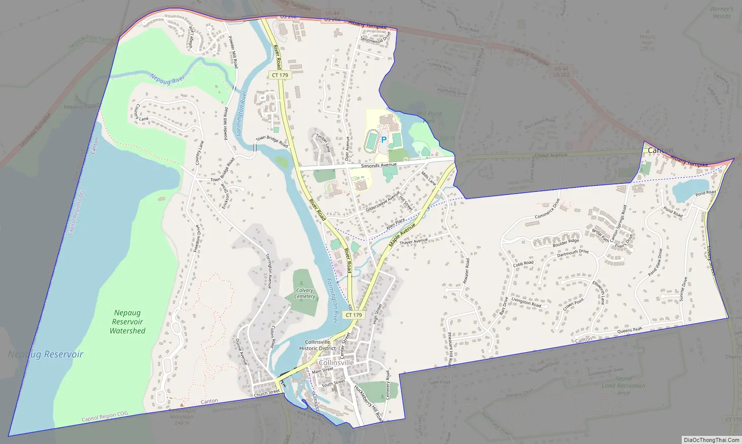
Collinsville Road Map
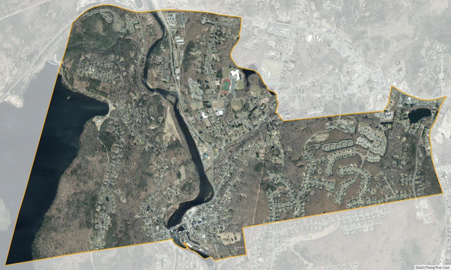
Collinsville city Satellite Map
Geography
According to the United States Census Bureau, the CDP has a total area of 3.6 square miles (9.2 km), of which 3.1 square miles (8.1 km) is land and 0.42 square miles (1.1 km), or 11.79%, is water.
See also
Map of Connecticut State and its subdivision: Map of other states:- Alabama
- Alaska
- Arizona
- Arkansas
- California
- Colorado
- Connecticut
- Delaware
- District of Columbia
- Florida
- Georgia
- Hawaii
- Idaho
- Illinois
- Indiana
- Iowa
- Kansas
- Kentucky
- Louisiana
- Maine
- Maryland
- Massachusetts
- Michigan
- Minnesota
- Mississippi
- Missouri
- Montana
- Nebraska
- Nevada
- New Hampshire
- New Jersey
- New Mexico
- New York
- North Carolina
- North Dakota
- Ohio
- Oklahoma
- Oregon
- Pennsylvania
- Rhode Island
- South Carolina
- South Dakota
- Tennessee
- Texas
- Utah
- Vermont
- Virginia
- Washington
- West Virginia
- Wisconsin
- Wyoming


