New Milford is a census-designated place (CDP) in Litchfield County, Connecticut, United States. It comprises the main population center within the town of New Milford. As of the 2010 census, the population of New Milford was 6,523, out of 28,142 in the entire town of New Milford.
| Name: | New Milford CDP |
|---|---|
| LSAD Code: | 57 |
| LSAD Description: | CDP (suffix) |
| State: | Connecticut |
| County: | Litchfield County |
| Elevation: | 255 ft (78 m) |
| Total Area: | 3.41 sq mi (8.84 km²) |
| Land Area: | 3.39 sq mi (8.77 km²) |
| Water Area: | 0.03 sq mi (0.07 km²) |
| Total Population: | 6,523 |
| Population Density: | 1,927/sq mi (744.0/km²) |
| ZIP code: | 06776 |
| FIPS code: | 0952560 |
| GNISfeature ID: | 209242 |
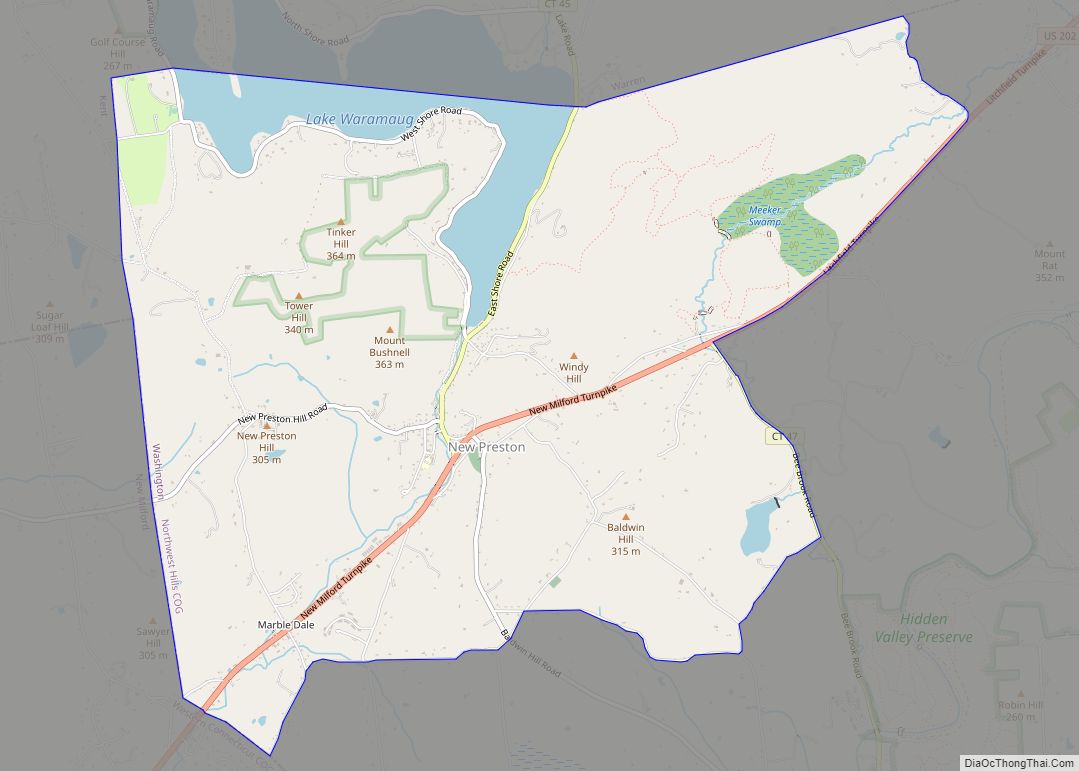
Online Interactive Map
Click on ![]() to view map in "full screen" mode.
to view map in "full screen" mode.
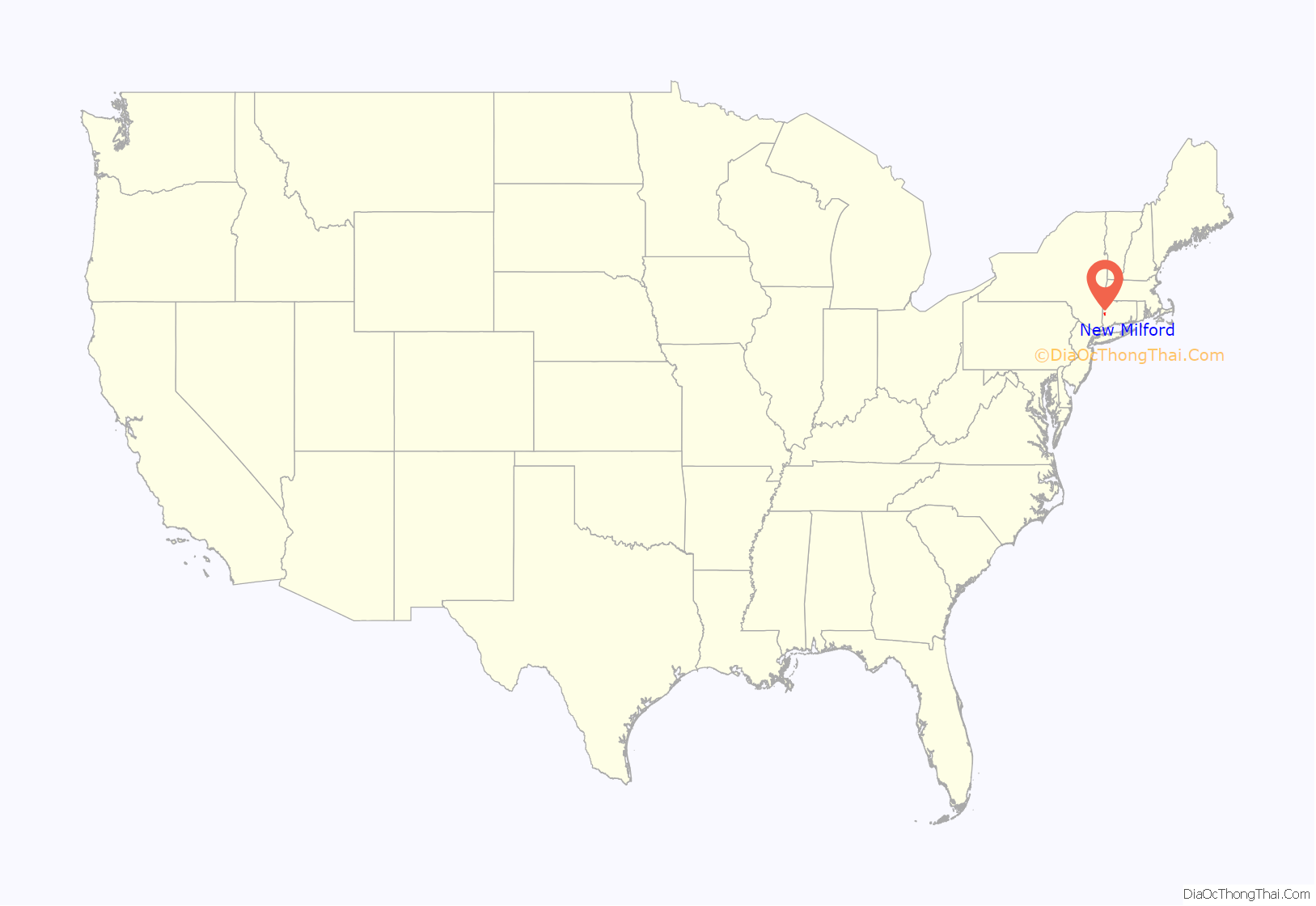
New Milford location map. Where is New Milford CDP?
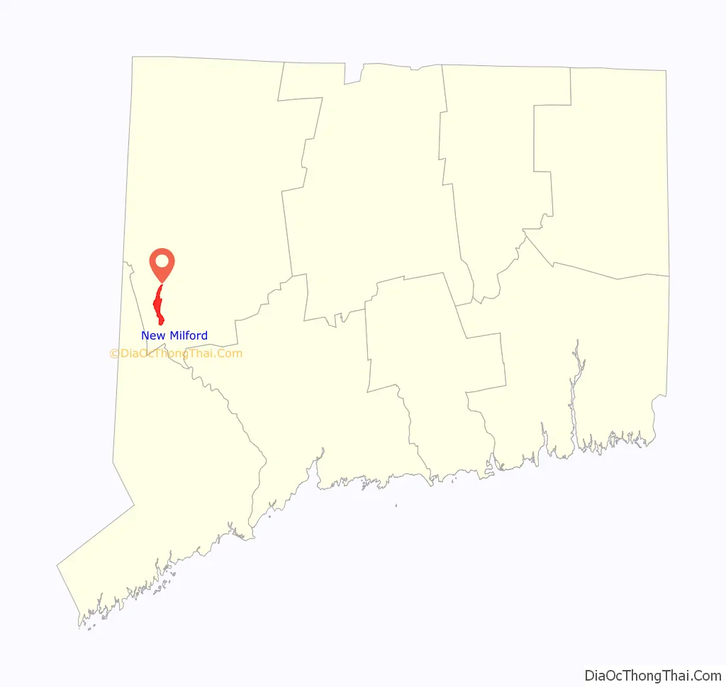
New Milford Road Map
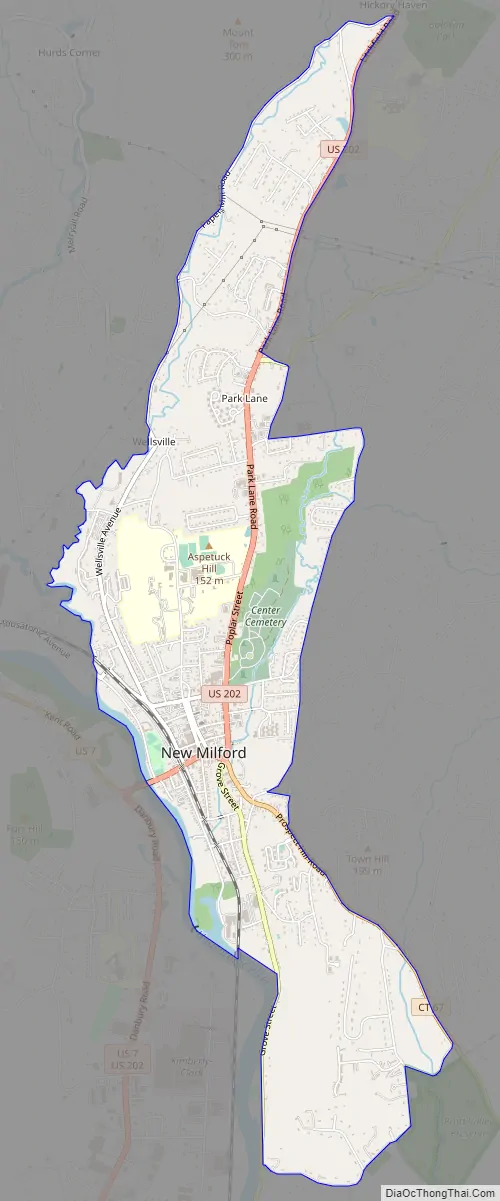
New Milford city Satellite Map
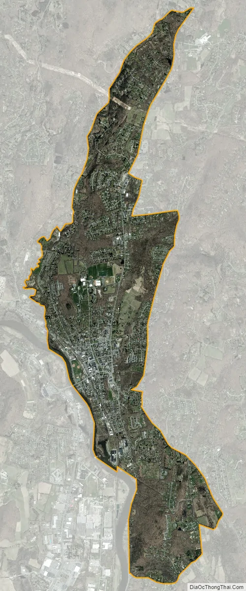
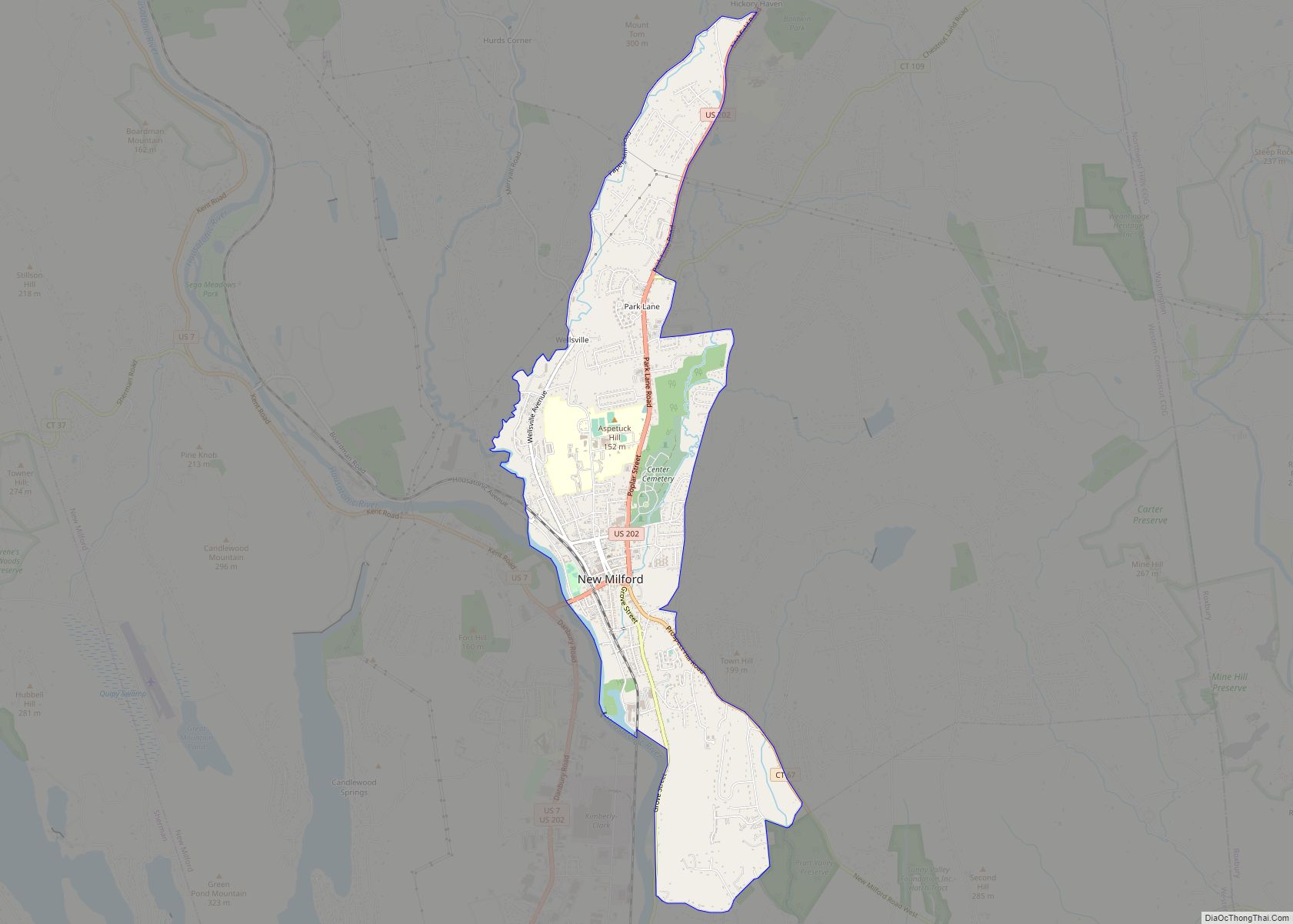
Geography
The New Milford CDP is in the center of the town of New Milford, in the valley of the Housatonic River. The western edge of the CDP follows the Housatonic and a tributary, the East Aspetuck River. The CDP extends north to Paper Mill Road and south to Hine Hill Road, while the eastern edge of the CDP follows Prospect Hill Road (Connecticut Route 67), Mallett Lane, Heacock Crossbrook Road, and Park Lane Road (U.S. Route 202) north to Paper Mill Road.
U.S. Route 202 passes through the center of the community, leading northeast 18 miles (29 km) to Litchfield and south 15 miles (24 km) to Danbury. Route 67 leads southeast out of Milford 4 miles (6 km) to Roxbury.
According to the U.S. Census Bureau, the New Milford CDP has a total area of 3.4 square miles (8.8 km), of which 0.03 square miles (0.07 km), or 0.79%, are water.
See also
Map of Connecticut State and its subdivision: Map of other states:- Alabama
- Alaska
- Arizona
- Arkansas
- California
- Colorado
- Connecticut
- Delaware
- District of Columbia
- Florida
- Georgia
- Hawaii
- Idaho
- Illinois
- Indiana
- Iowa
- Kansas
- Kentucky
- Louisiana
- Maine
- Maryland
- Massachusetts
- Michigan
- Minnesota
- Mississippi
- Missouri
- Montana
- Nebraska
- Nevada
- New Hampshire
- New Jersey
- New Mexico
- New York
- North Carolina
- North Dakota
- Ohio
- Oklahoma
- Oregon
- Pennsylvania
- Rhode Island
- South Carolina
- South Dakota
- Tennessee
- Texas
- Utah
- Vermont
- Virginia
- Washington
- West Virginia
- Wisconsin
- Wyoming