Norwalk is a city located in Western Connecticut, United States, in southern Fairfield County, on the northern shore of the Long Island Sound. Norwalk lies within both the New York metropolitan area and the Bridgeport metropolitan area.
Norwalk was originally settled in 1649, and is the sixth-most populous city in Connecticut. According to the 2020 United States Census, it has a population of 91,184.
| Name: | Norwalk city |
|---|---|
| LSAD Code: | 25 |
| LSAD Description: | city (suffix) |
| State: | Connecticut |
| County: | Fairfield County |
| Incorporated: | September 11, 1651 |
| Elevation: | 43 ft (13 m) |
| Total Area: | 36.37 sq mi (94.20 km²) |
| Land Area: | 22.89 sq mi (59.28 km²) |
| Water Area: | 13.49 sq mi (34.93 km²) |
| Total Population: | 91,184 |
| Population Density: | 3,983.574/sq mi (1,538.192/km²) |
| FIPS code: | 0955990 |
| GNISfeature ID: | 0209405 |
| Website: | www.norwalkct.gov |
Online Interactive Map
Click on ![]() to view map in "full screen" mode.
to view map in "full screen" mode.
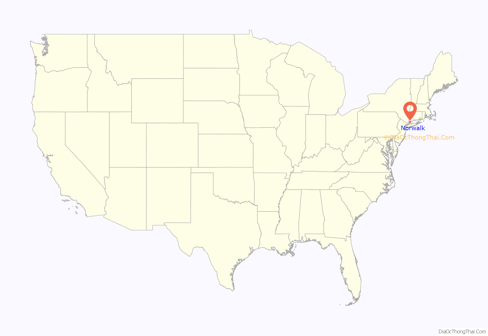
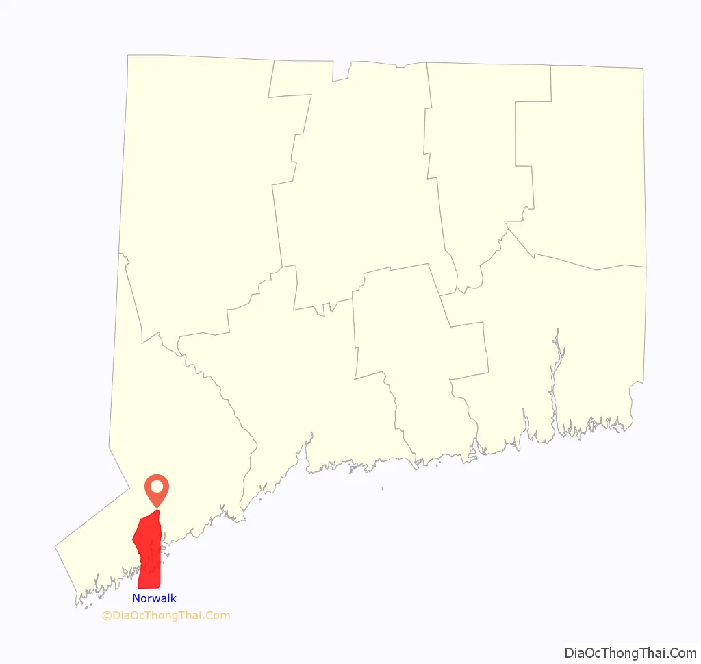
Norwalk location map. Where is Norwalk city?
History
Roger Ludlow purchased the areas east of the Norwalk River from Chief Mahackemo of the Norwaake (or Naramauke) Indians in 1640. Norwalk was settled in 1649, incorporated September 1651, and named after the Algonquin word noyank, meaning “point of land”, or more probably from the Native American name “Naramauke”.
The Battle of Norwalk took place during the Revolutionary War, and led to the burning of most of the town. In 1836, the borough of Norwalk was created, covering the central area of the town. In 1853, the first ever train disaster in the United States happened over the Norwalk River. During the 19th and early 20th century, Norwalk was a major railroad stop for the New York, New Haven, and Hartford Railroad. The city of South Norwalk and the remaining parts of the town of Norwalk were both combined in 1910 to form the current city.
The Ku Klux Klan had a brief presence in Norwalk during the 1920s, but quickly fell apart due to internal issues. In 1955, multiple hurricanes hit the city, causing flooding in Norwalk Harbor. During the 1970s, efforts were taken to historically preserve South Norwalk, resulting in the creation of the Washington Street Historic District.
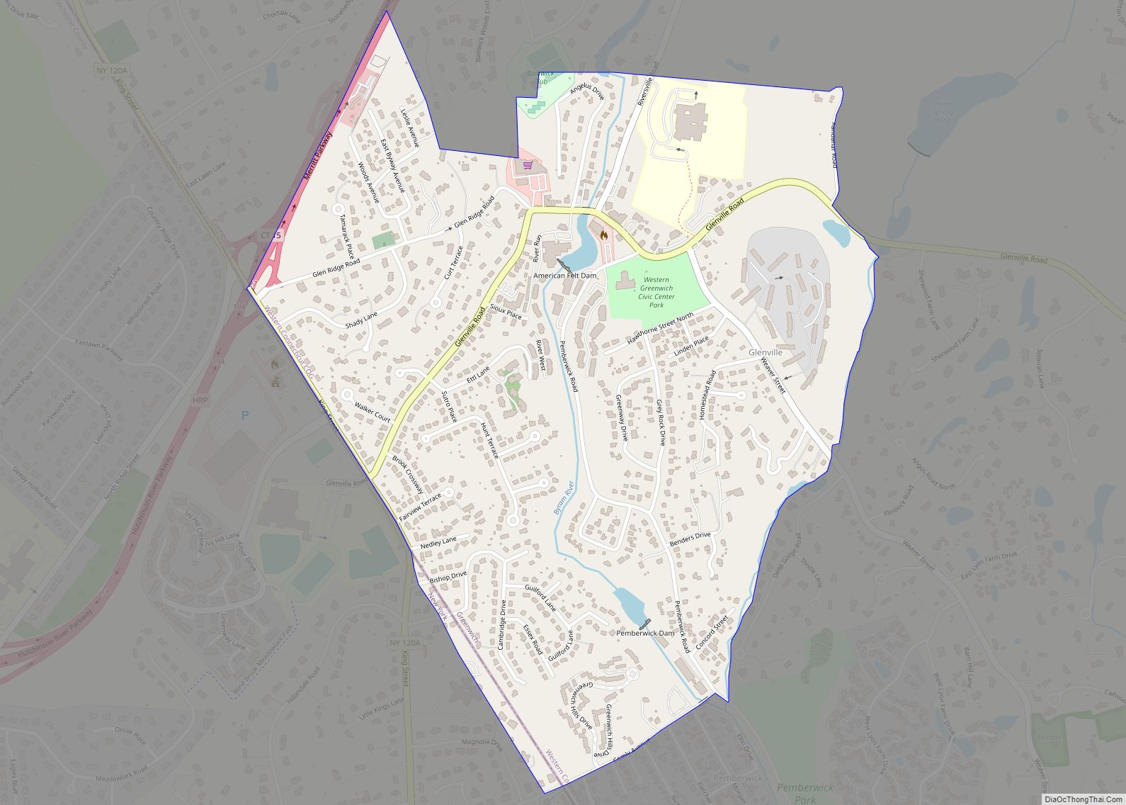
Norwalk Road Map
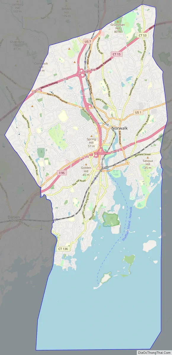
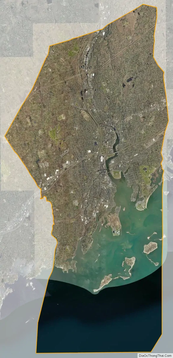
Norwalk city Satellite Map
Geography
According to the United States Census Bureau, the city has a total area of 36.3 square miles (94 km), of which 13.5 square miles (35 km) (37.24%) are covered by water.
Climate
Topography
Norwalk’s topography is dominated by its coastline along Long Island Sound, the Norwalk River and its eastern and western banks, and the Norwalk Islands. The highest elevation is 315 feet (96 m) above sea level on the fairway of the 16th hole of the Silvermine Golf Course, and the low elevation is sea level on Long Island Sound.
See also
Map of Connecticut State and its subdivision: Map of other states:- Alabama
- Alaska
- Arizona
- Arkansas
- California
- Colorado
- Connecticut
- Delaware
- District of Columbia
- Florida
- Georgia
- Hawaii
- Idaho
- Illinois
- Indiana
- Iowa
- Kansas
- Kentucky
- Louisiana
- Maine
- Maryland
- Massachusetts
- Michigan
- Minnesota
- Mississippi
- Missouri
- Montana
- Nebraska
- Nevada
- New Hampshire
- New Jersey
- New Mexico
- New York
- North Carolina
- North Dakota
- Ohio
- Oklahoma
- Oregon
- Pennsylvania
- Rhode Island
- South Carolina
- South Dakota
- Tennessee
- Texas
- Utah
- Vermont
- Virginia
- Washington
- West Virginia
- Wisconsin
- Wyoming