Sharon is a census-designated place (CDP) in Litchfield County, Connecticut, United States. It is the primary village within the town of Sharon. As of the 2010 census, the population of the CDP was 729, out of 2,782 in the entire town.
| Name: | Sharon CDP |
|---|---|
| LSAD Code: | 57 |
| LSAD Description: | CDP (suffix) |
| State: | Connecticut |
| County: | Litchfield County |
| Elevation: | 714 ft (218 m) |
| Total Area: | 3.01 sq mi (7.80 km²) |
| Land Area: | 2.99 sq mi (7.75 km²) |
| Water Area: | 0.02 sq mi (0.05 km²) |
| Total Population: | 729 |
| Population Density: | 244/sq mi (94.1/km²) |
| ZIP code: | 06069 |
| FIPS code: | 0967890 |
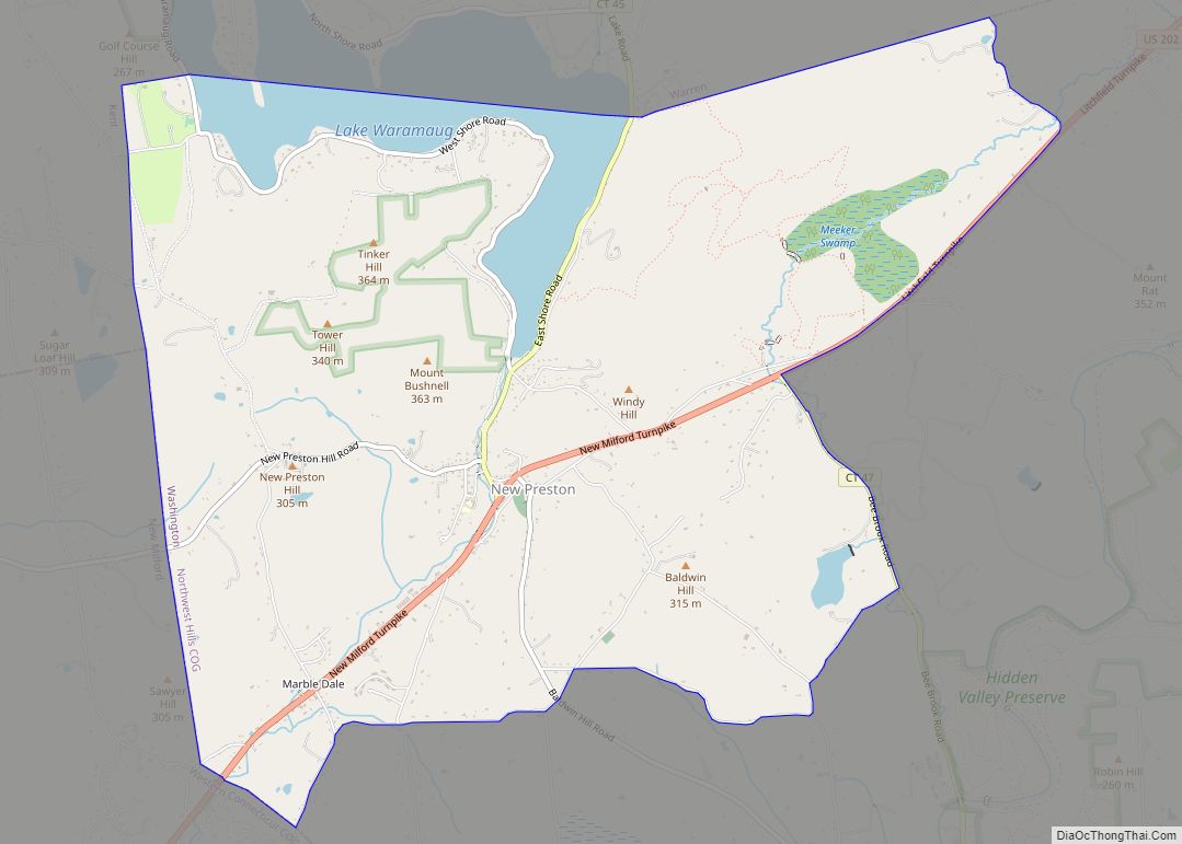
Online Interactive Map
Click on ![]() to view map in "full screen" mode.
to view map in "full screen" mode.
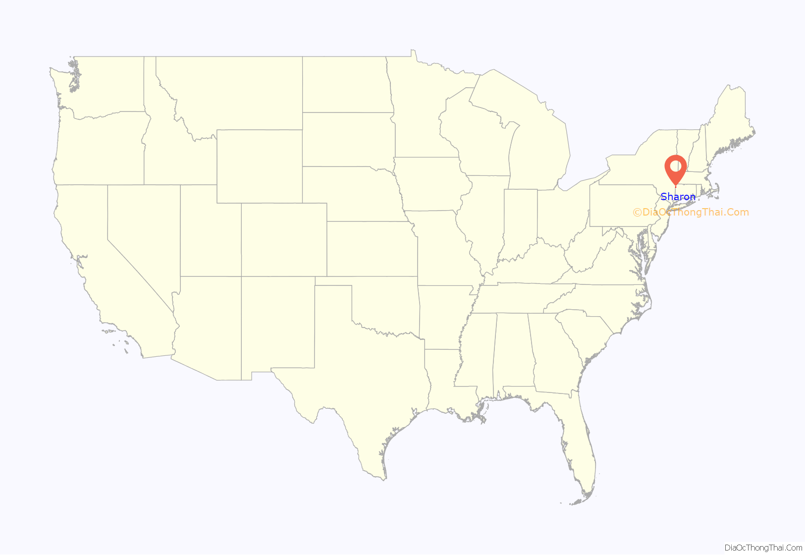
Sharon location map. Where is Sharon CDP?
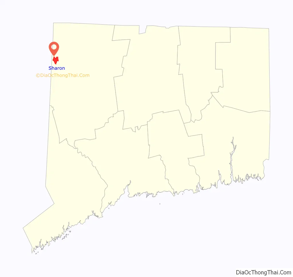
Sharon Road Map
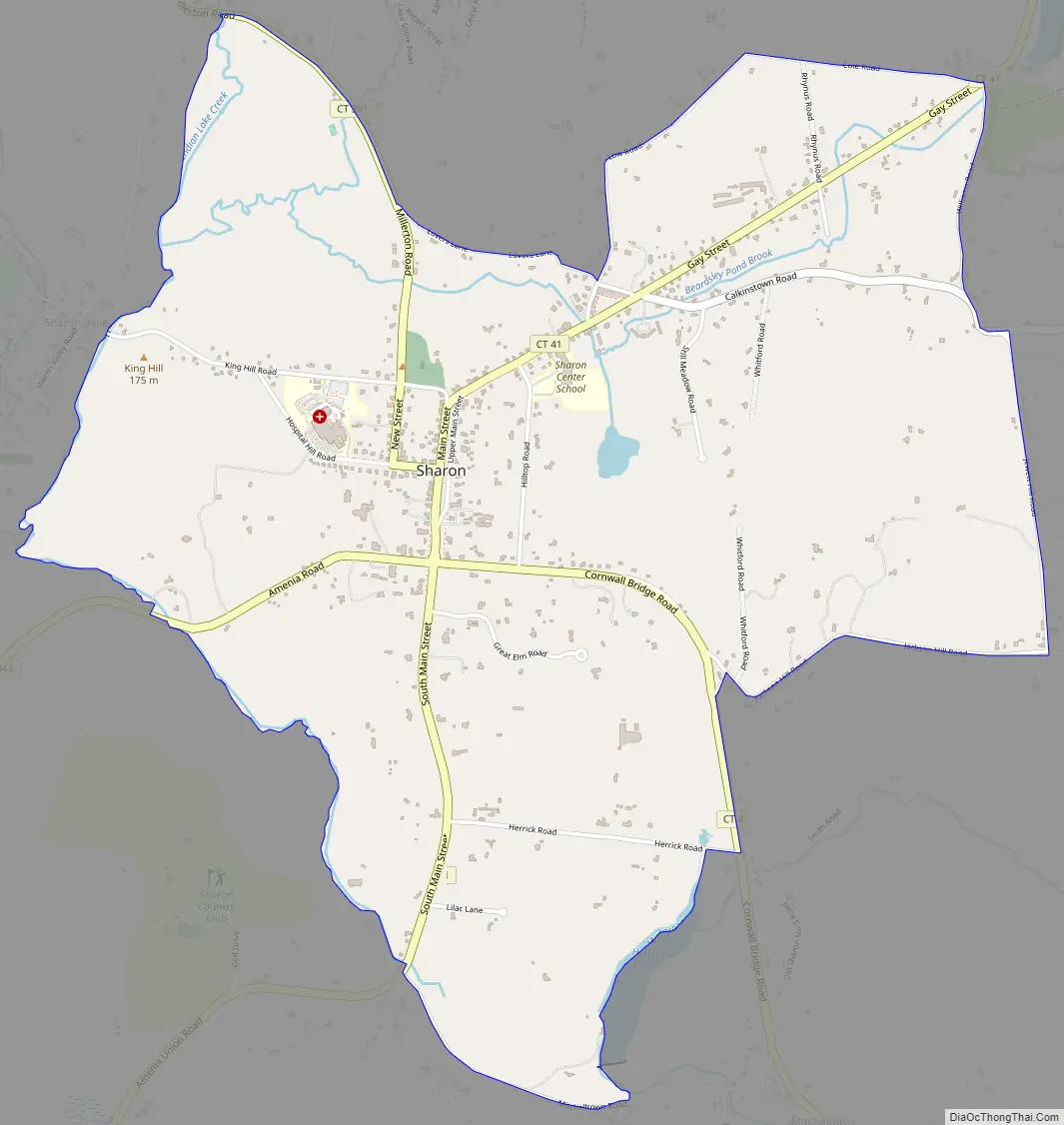
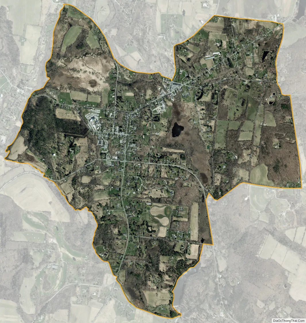
Sharon city Satellite Map
Geography
Sharon village is in the northwest part of the town of Sharon, 1 mile (1.6 km) east of the New York state line. It is bordered to the west by the village of Sharon Valley; to the north by Millerton Road (Connecticut Route 361), Lovers Lane, Low Road, and Cole Road; to the east by Williams Road, Jewett Hill Road, Jackson Hill Road, Cornwall Bridge Road (Connecticut Route 4), and Hatch Pond; to the south by Mitchelltown Road; and to the southwest by a brook which flows to Sharon Valley.
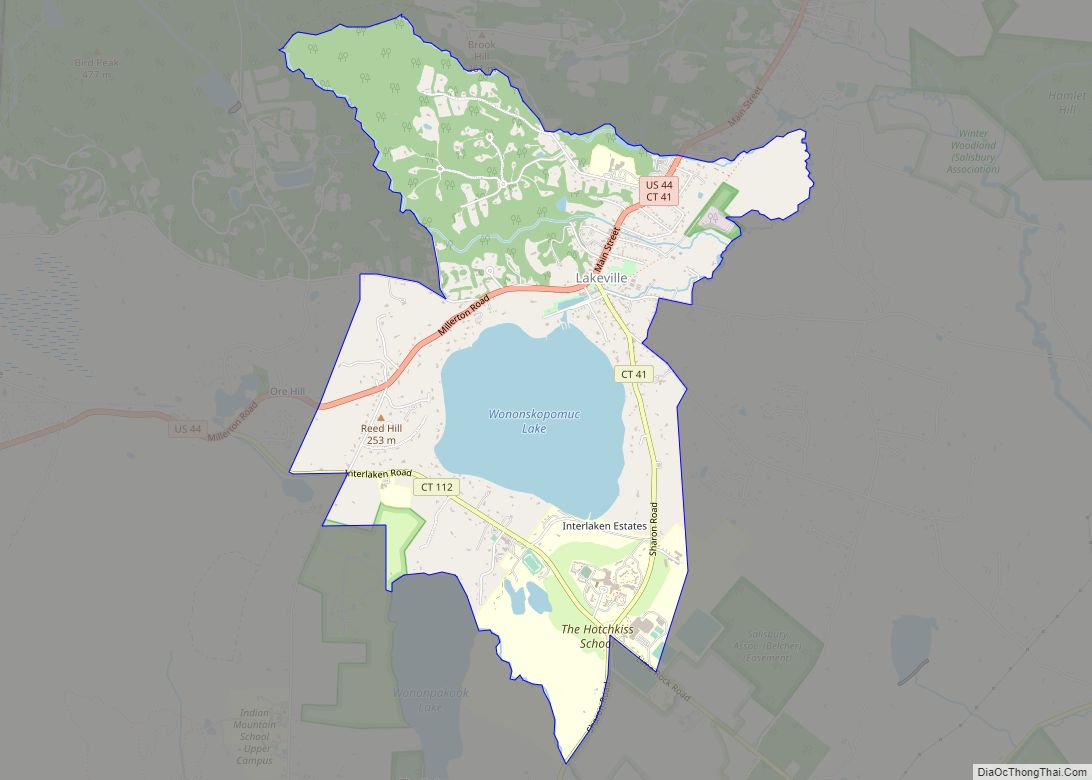
Sharon is 8 miles (13 km) northwest of Cornwall Bridge via CT Route 4, 7 miles (11 km) southwest of Lakeville via CT Route 41, 6 miles (10 km) southeast of Millerton, New York, via CT Route 361, and 5 miles (8 km) northeast of Amenia, New York, via Route 343.
According to the U.S. Census Bureau, the Sharon CDP has a total area of 3.0 square miles (7.8 km), of which 0.02 square miles (0.05 km), or 0.66%, are water. The brooks in Sharon flow west to Sharon Valley and join Webatuck Creek, a south-flowing tributary of the Ten Mile River and part of the Housatonic River watershed.
See also
Map of Connecticut State and its subdivision: Map of other states:- Alabama
- Alaska
- Arizona
- Arkansas
- California
- Colorado
- Connecticut
- Delaware
- District of Columbia
- Florida
- Georgia
- Hawaii
- Idaho
- Illinois
- Indiana
- Iowa
- Kansas
- Kentucky
- Louisiana
- Maine
- Maryland
- Massachusetts
- Michigan
- Minnesota
- Mississippi
- Missouri
- Montana
- Nebraska
- Nevada
- New Hampshire
- New Jersey
- New Mexico
- New York
- North Carolina
- North Dakota
- Ohio
- Oklahoma
- Oregon
- Pennsylvania
- Rhode Island
- South Carolina
- South Dakota
- Tennessee
- Texas
- Utah
- Vermont
- Virginia
- Washington
- West Virginia
- Wisconsin
- Wyoming