Simsbury Center is a census-designated place (CDP) that consists of the central settlement, and the neighborhoods immediately surrounding it, in the town of Simsbury, Connecticut, in the United States. As of the 2010 census, the CDP had a population of 5,836. The core area of the CDP is listed as the Simsbury Center Historic District on the National Register of Historic Places.
| Name: | Simsbury Center CDP |
|---|---|
| LSAD Code: | 57 |
| LSAD Description: | CDP (suffix) |
| State: | Connecticut |
| County: | Hartford County |
| Elevation: | 185 ft (56 m) |
| Total Area: | 4.6 sq mi (11.8 km²) |
| Land Area: | 4.6 sq mi (11.8 km²) |
| Water Area: | 0 sq mi (0 km²) |
| Total Population: | 5,836 |
| Population Density: | 1,300/sq mi (490/km²) |
| ZIP code: | 06070 (Simsbury) |
| Area code: | 860 |
| FIPS code: | 0969010 |
| GNISfeature ID: | 2377861 |
Online Interactive Map
Click on ![]() to view map in "full screen" mode.
to view map in "full screen" mode.
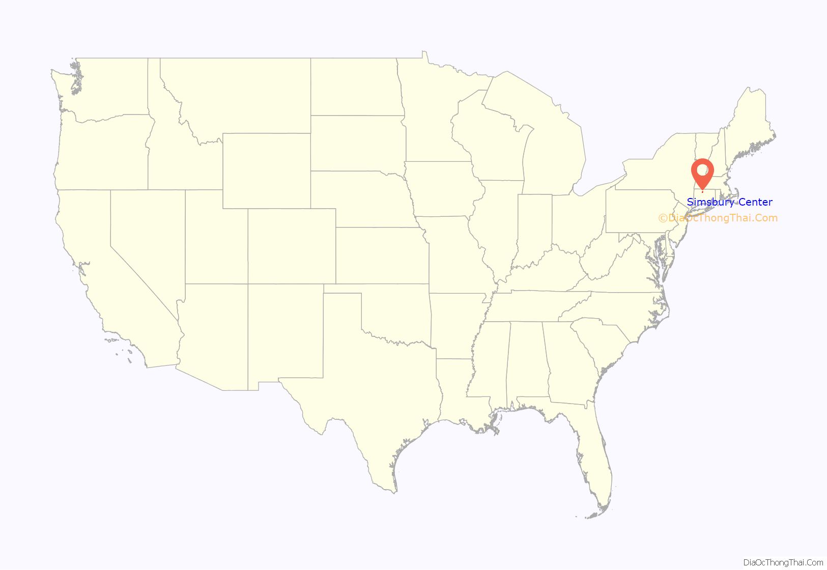
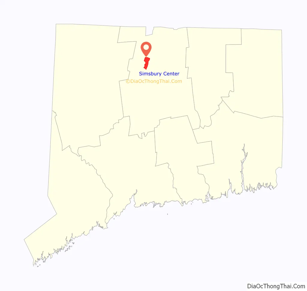
Simsbury Center location map. Where is Simsbury Center CDP?
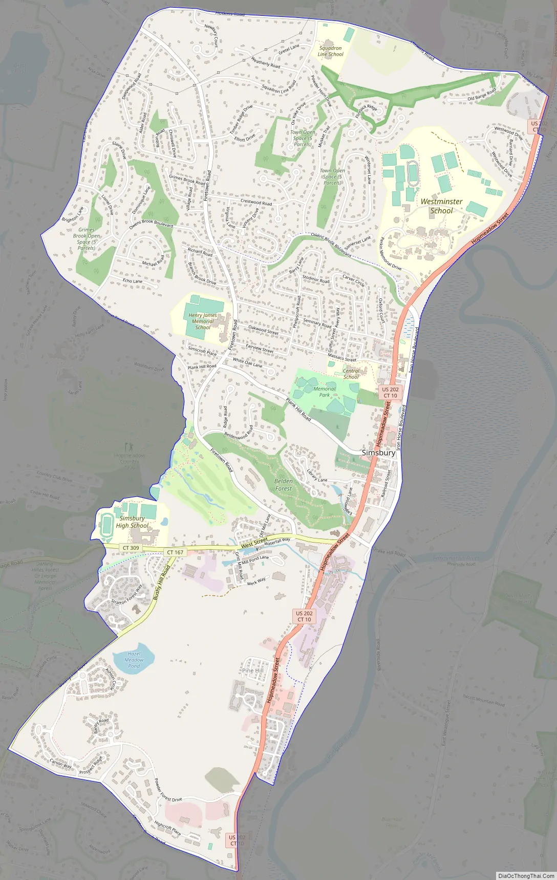
Simsbury Center Road Map
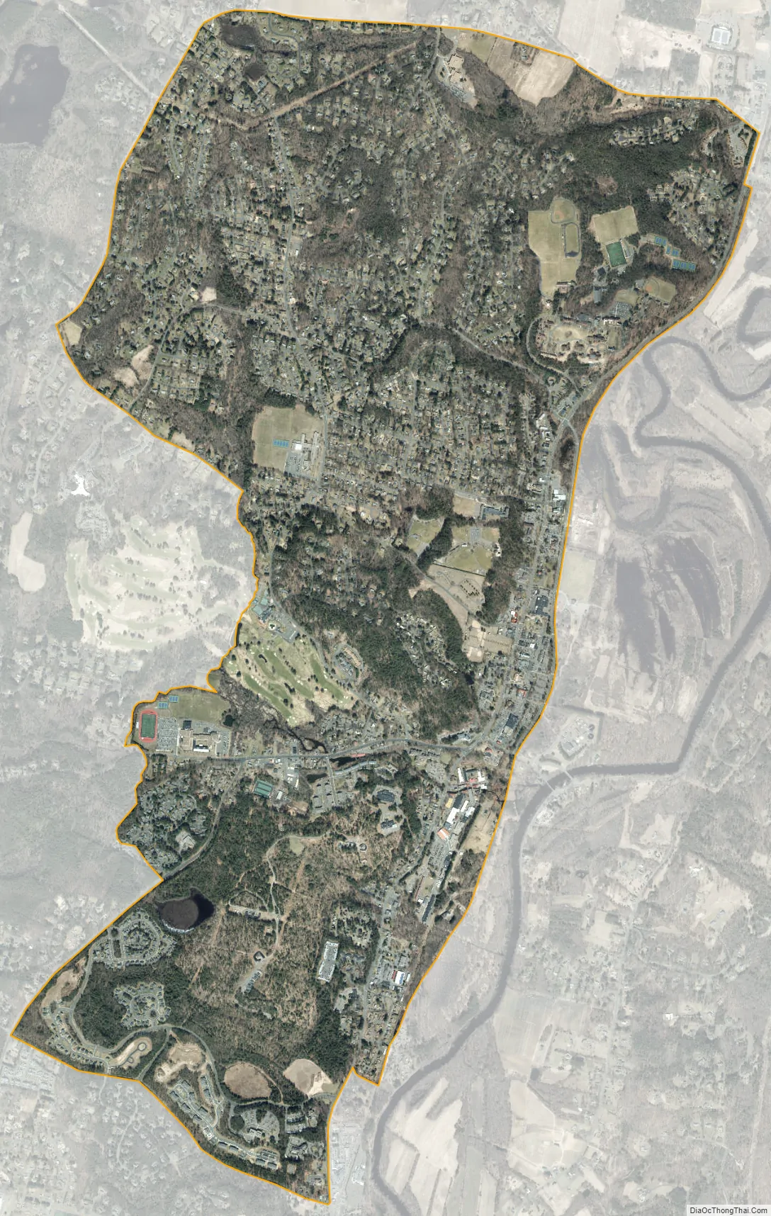
Simsbury Center city Satellite Map
Geography
The Simsbury Center CDP is bordered to the north by Hoskins Road, to the east by the former route of the New York, New Haven and Hartford Railroad, now partially replaced by a bike trail, to the south by Stratton Brook Road, and to the west by Bushy Hill Road, Hop Brook, Grimes Brook, Great Pond Road, and Laurel Lane. The CDP is bordered to the west by West Simsbury and to the south by Weatogue. The Farmington River flows northward just east of the CDP.
The main road through the community is the combined U.S. Route 202/Connecticut Route 10, which leads north to Granby and south to Avon. Connecticut Route 309 (West Street) leads west from Simsbury Center through West Simsbury to North Canton. Connecticut Route 167 (Bushy Hill Road) branches off Route 309 and leads southwest to Crowleys Corner at the border between Simsbury and Avon. Simsbury Center is 11 miles (18 km) northwest of Hartford and 23 miles (37 km) southwest of Springfield, Massachusetts.
According to the United States Census Bureau, the CDP has a total area of 4.6 square miles (11.8 km), of which 0.0039 square miles (0.01 km), or 0.10%, are water.
See also
Map of Connecticut State and its subdivision: Map of other states:- Alabama
- Alaska
- Arizona
- Arkansas
- California
- Colorado
- Connecticut
- Delaware
- District of Columbia
- Florida
- Georgia
- Hawaii
- Idaho
- Illinois
- Indiana
- Iowa
- Kansas
- Kentucky
- Louisiana
- Maine
- Maryland
- Massachusetts
- Michigan
- Minnesota
- Mississippi
- Missouri
- Montana
- Nebraska
- Nevada
- New Hampshire
- New Jersey
- New Mexico
- New York
- North Carolina
- North Dakota
- Ohio
- Oklahoma
- Oregon
- Pennsylvania
- Rhode Island
- South Carolina
- South Dakota
- Tennessee
- Texas
- Utah
- Vermont
- Virginia
- Washington
- West Virginia
- Wisconsin
- Wyoming


