Somers /ˈsʌmərz/ is a town in Tolland County, Connecticut. The town is part of the Capitol Planning Region. The population was 10,255 at the 2020 census. The town center is listed by the U.S. Census Bureau as a census-designated place (CDP). In 2007, Money Magazine listed Somers 53rd on its “100 Best Places to Live”, based on “economic opportunity, good schools, safe streets, things to do and a real sense of community.”
Bordering Massachusetts, Somers is considered part of the city of Springfield, Massachusetts NECTA. Somers is 13 miles (21 km) southeast of Springfield and considered more oriented toward it than the city of Hartford, which lies 22 miles (35 km) to the southwest.
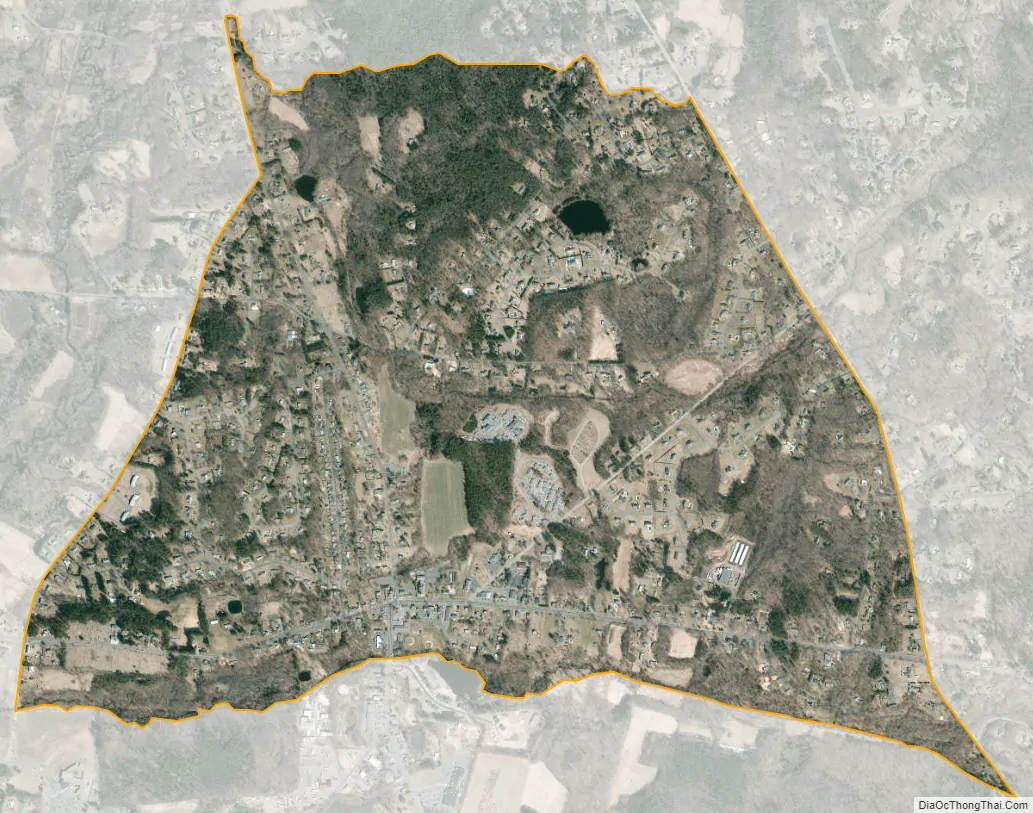
| Name: | Somers CDP |
|---|---|
| LSAD Code: | 57 |
| LSAD Description: | CDP (suffix) |
| State: | Connecticut |
| County: | Tolland County |
| Elevation: | 240 ft (73 m) |
| Total Area: | 28.5 sq mi (73.8 km²) |
| Land Area: | 28.3 sq mi (73.4 km²) |
| Water Area: | 0.1 sq mi (0.3 km²) |
| Population Density: | 360/sq mi (140/km²) |
| ZIP code: | 06071 |
| Area code: | 860/959 |
| FIPS code: | 0969150 |
| GNISfeature ID: | 0212346 |
| Website: | www.somersct.gov |
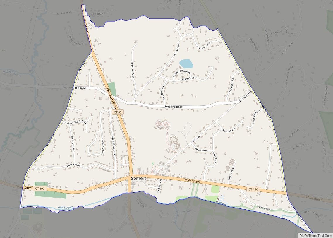
Online Interactive Map
Click on ![]() to view map in "full screen" mode.
to view map in "full screen" mode.
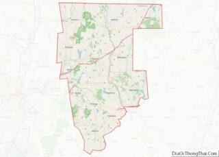
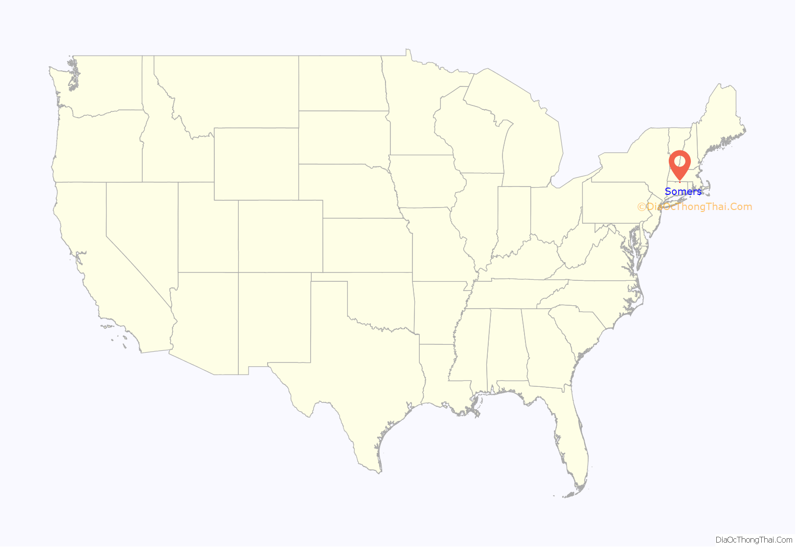
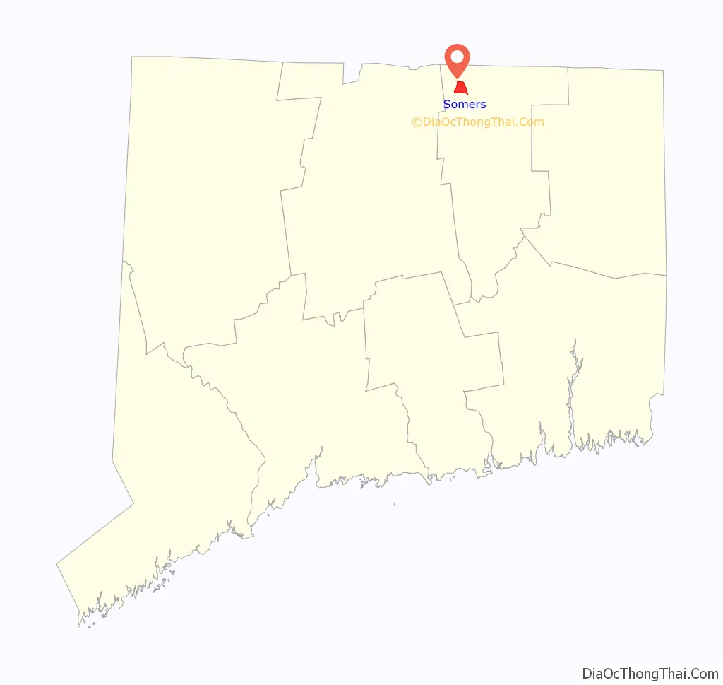
Somers location map. Where is Somers CDP?
History
Somers was originally part of the Agawam Plantation in the 17th century. Agawam Plantation became Springfield, Massachusetts, in 1641 and in 1682, the Enfield Parish broke off from the Springfield settlement. In 1689, the first settler, Benjamin Jones, came to Somers in what was then East Enfield about a half mile from the current town center, it was only a summer house and in the winter, he and his family returned to Enfield. In 1711, several more families settled the Somers area to help start a village. The families of Kibbe, Pease, Root, and Megregory were the first to settle the area. The Village was given the name Wallop but was changed to East Enfield shortly after. In the year 1734, East Enfield became a town and was renamed Somers, after John Somers, 1st Baron Somers. In the year 1749, Somers joined the Connecticut Colony.
The Four Town Fair, which is usually held after the third weekend in September, is one of the oldest fairs in the country.
Little Sorrel, the favorite horse of Confederate general Stonewall Jackson, was born at a farm in Somers.
Somers Road Map
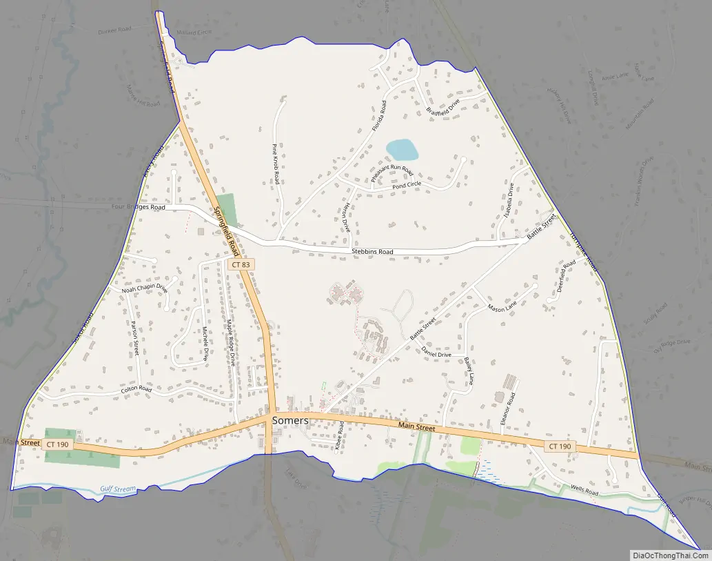
Somers city Satellite Map
Geography
Somers is at 41°59′N 72°27′W / 41.983°N 72.450°W / 41.983; -72.450.
According to the United States Census Bureau, the town has a total area of 28.5 square miles (74 km), of which 28.3 square miles (73 km) is land and 0.1 square miles (0.26 km) (0.49%) is water. The town center CDP has a total area of 2.1 square miles (5.4 km), all land.
The town’s highest point, Bald Mountain, at 1,121 feet (342 m) is the highest point along the Connecticut River Valley in Connecticut. The rounded hill summit was recently purchased by the town and can be seen for many miles around.
Neighborhoods
- Somers Center, location of Somers Historic District
- Somersville
- North Somers
- Hall Hill
- Gulf Road
- Billings Rd
- Woodcrest Village
- Osborn Place
See also
Map of Connecticut State and its subdivision: Map of other states:- Alabama
- Alaska
- Arizona
- Arkansas
- California
- Colorado
- Connecticut
- Delaware
- District of Columbia
- Florida
- Georgia
- Hawaii
- Idaho
- Illinois
- Indiana
- Iowa
- Kansas
- Kentucky
- Louisiana
- Maine
- Maryland
- Massachusetts
- Michigan
- Minnesota
- Mississippi
- Missouri
- Montana
- Nebraska
- Nevada
- New Hampshire
- New Jersey
- New Mexico
- New York
- North Carolina
- North Dakota
- Ohio
- Oklahoma
- Oregon
- Pennsylvania
- Rhode Island
- South Carolina
- South Dakota
- Tennessee
- Texas
- Utah
- Vermont
- Virginia
- Washington
- West Virginia
- Wisconsin
- Wyoming