Southwood Acres is a suburban neighborhood within the town of Enfield in northern Hartford County, Connecticut, United States. The neighborhood is listed as a census-designated place (CDP) by the U.S. Census Bureau and had a population of 7,657 at the 2010 census.
| Name: | Southwood Acres CDP |
|---|---|
| LSAD Code: | 57 |
| LSAD Description: | CDP (suffix) |
| State: | Connecticut |
| County: | Hartford County |
| Elevation: | 123 ft (37 m) |
| Total Area: | 4.1 sq mi (10.5 km²) |
| Land Area: | 4.1 sq mi (10.5 km²) |
| Water Area: | 0 sq mi (0 km²) |
| Total Population: | 7,657 |
| Population Density: | 1,900/sq mi (730/km²) |
| ZIP code: | 06082 |
| Area code: | 860 |
| FIPS code: | 0971460 |
| GNISfeature ID: | 2377864 |
Online Interactive Map
Click on ![]() to view map in "full screen" mode.
to view map in "full screen" mode.
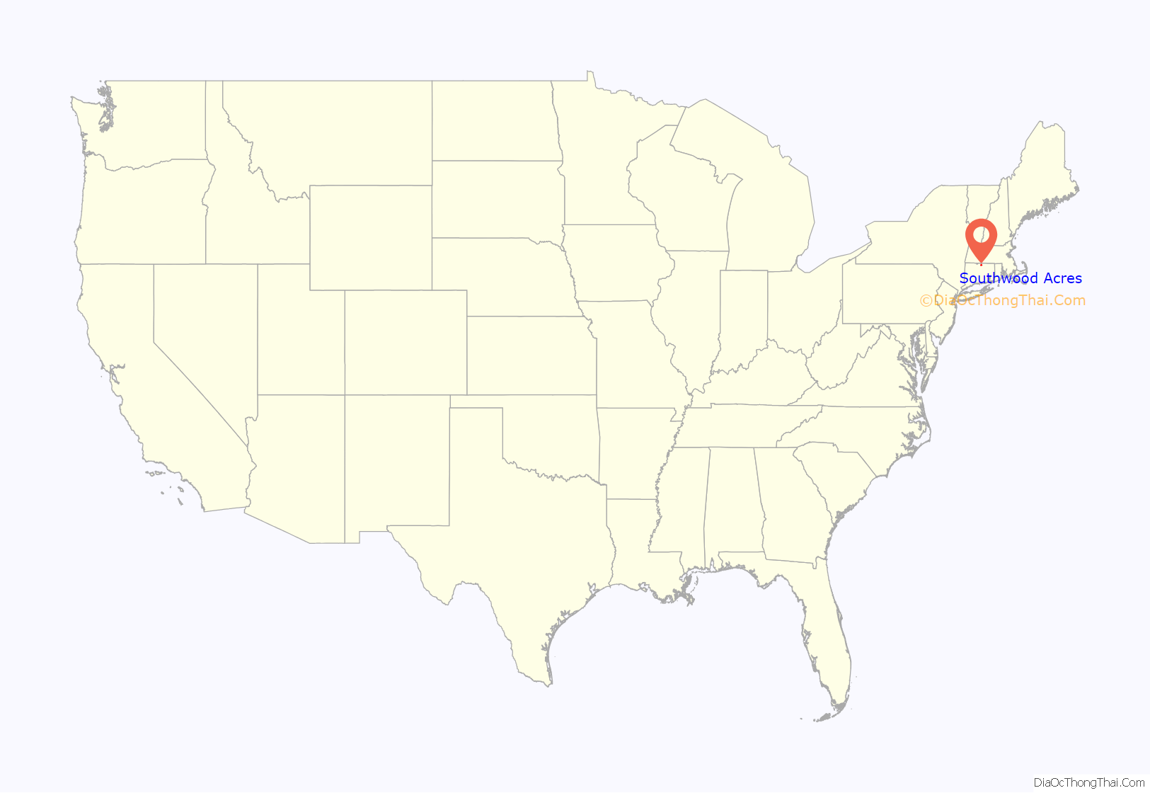
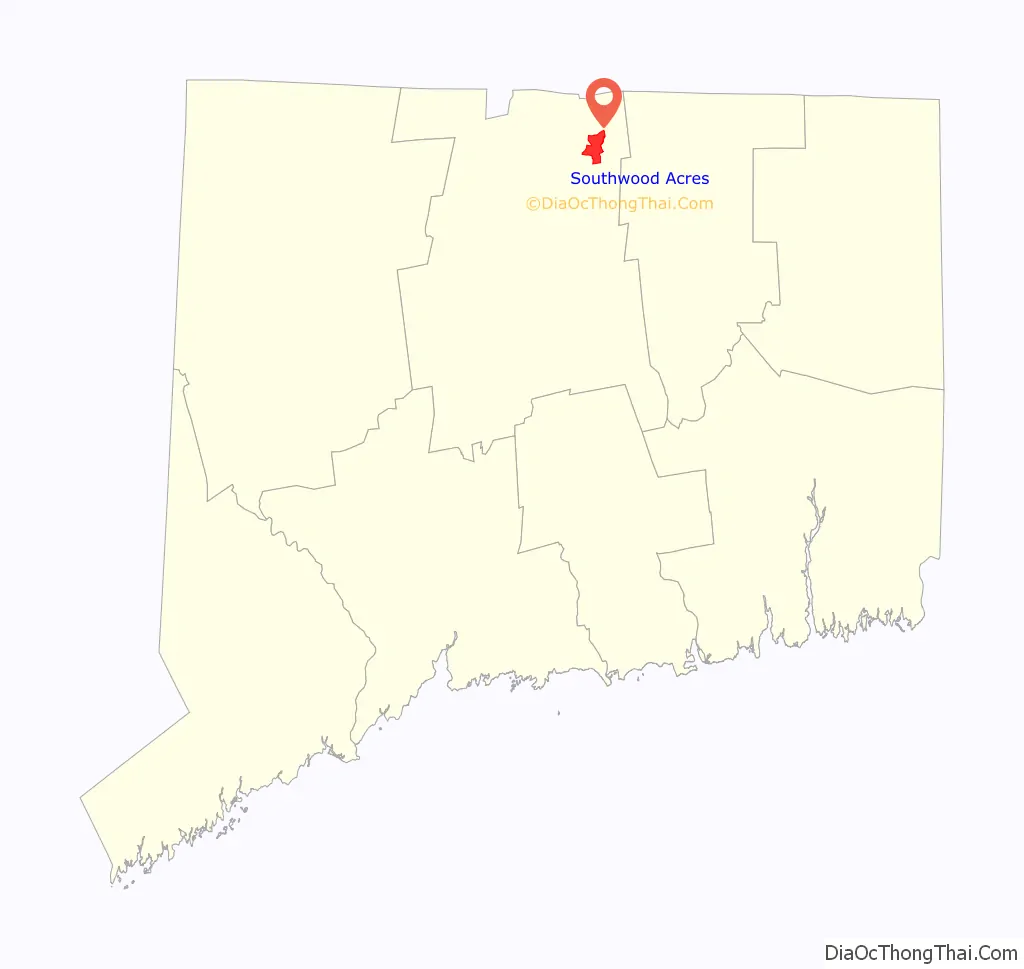
Southwood Acres location map. Where is Southwood Acres CDP?
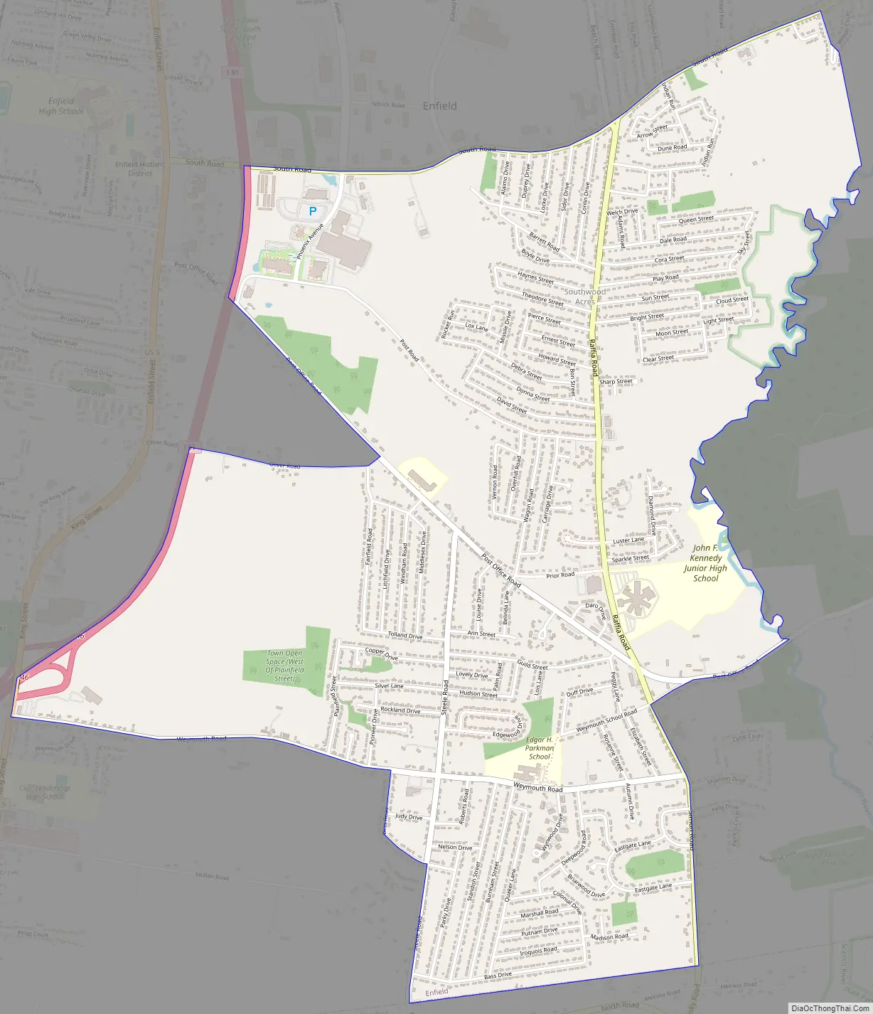
Southwood Acres Road Map
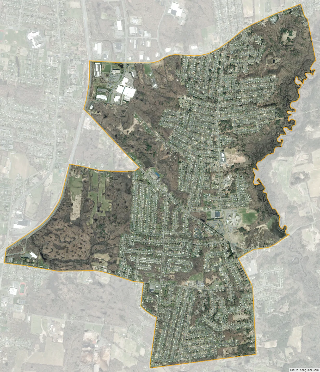
Southwood Acres city Satellite Map
Geography
According to the United States Census Bureau, the CDP has a total area of 4.1 square miles (10.5 km), all of it land. Southwood Acres generally refers to the area between Interstate 91 in the west and the Scantic River in the east, and between the East Windsor town line in the south and South Road in the north.
See also
Map of Connecticut State and its subdivision: Map of other states:- Alabama
- Alaska
- Arizona
- Arkansas
- California
- Colorado
- Connecticut
- Delaware
- District of Columbia
- Florida
- Georgia
- Hawaii
- Idaho
- Illinois
- Indiana
- Iowa
- Kansas
- Kentucky
- Louisiana
- Maine
- Maryland
- Massachusetts
- Michigan
- Minnesota
- Mississippi
- Missouri
- Montana
- Nebraska
- Nevada
- New Hampshire
- New Jersey
- New Mexico
- New York
- North Carolina
- North Dakota
- Ohio
- Oklahoma
- Oregon
- Pennsylvania
- Rhode Island
- South Carolina
- South Dakota
- Tennessee
- Texas
- Utah
- Vermont
- Virginia
- Washington
- West Virginia
- Wisconsin
- Wyoming


