Suffield Depot is the name of a census-designated place (CDP) corresponding to the village of Suffield, the primary settlement of the town of Suffield, Connecticut, in Hartford County. The population of the CDP was 1,325 as of the 2010 census.
| Name: | Suffield Depot CDP |
|---|---|
| LSAD Code: | 57 |
| LSAD Description: | CDP (suffix) |
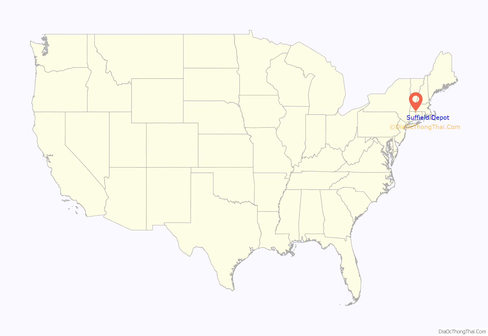
| State: | Connecticut |
| County: | Hartford County |
| Elevation: | 130 ft (40 m) |
| Total Area: | 2.0 sq mi (5.1 km²) |
| Land Area: | 2.0 sq mi (5.1 km²) |
| Water Area: | 0 sq mi (0 km²) |
| Total Population: | 1,325 |
| Population Density: | 670/sq mi (260/km²) |
| ZIP code: | 06078 |
| Area code: | 860 |
| FIPS code: | 0974655 |
| GNISfeature ID: | 2377869 |
Online Interactive Map
Click on ![]() to view map in "full screen" mode.
to view map in "full screen" mode.
Suffield Depot location map. Where is Suffield Depot CDP?

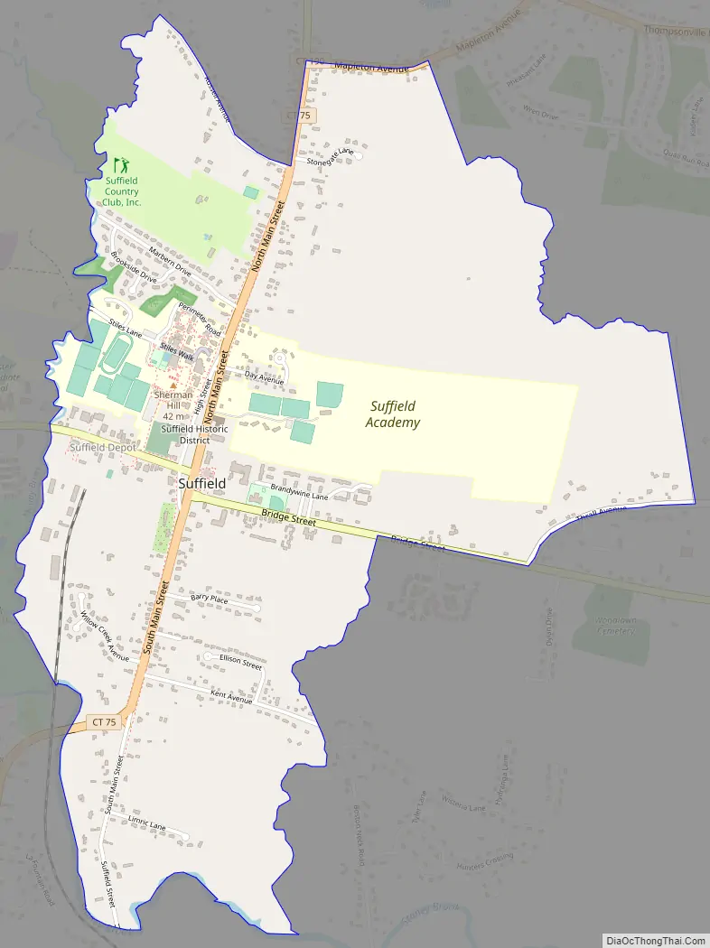
Suffield Depot Road Map
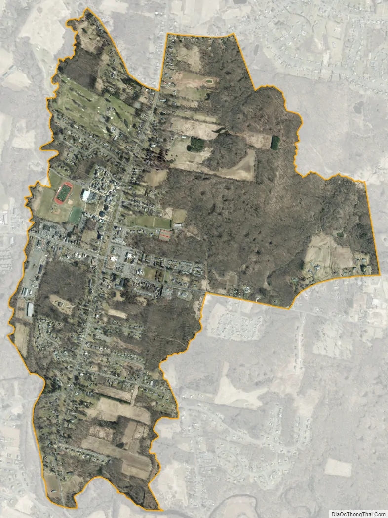
Suffield Depot city Satellite Map
Geography
Suffield Depot is named for the end of a spur railroad line leading to Suffield village from the town of Windsor Locks to the south. The center of the village is located on a ridge east of the railroad line, with a town green occupying the area around the intersection of North and South Main Street (Connecticut Route 75) with Mountain Road (Connecticut Route 168) and Bridge Street. According to the United States Census Bureau, the CDP has a total area of 2.0 square miles (5.1 km), all of which is land.
See also
Map of Connecticut State and its subdivision: Map of other states:- Alabama
- Alaska
- Arizona
- Arkansas
- California
- Colorado
- Connecticut
- Delaware
- District of Columbia
- Florida
- Georgia
- Hawaii
- Idaho
- Illinois
- Indiana
- Iowa
- Kansas
- Kentucky
- Louisiana
- Maine
- Maryland
- Massachusetts
- Michigan
- Minnesota
- Mississippi
- Missouri
- Montana
- Nebraska
- Nevada
- New Hampshire
- New Jersey
- New Mexico
- New York
- North Carolina
- North Dakota
- Ohio
- Oklahoma
- Oregon
- Pennsylvania
- Rhode Island
- South Carolina
- South Dakota
- Tennessee
- Texas
- Utah
- Vermont
- Virginia
- Washington
- West Virginia
- Wisconsin
- Wyoming


