Terramuggus is a census-designated place (CDP) in the town of Marlborough, Hartford County, Connecticut, United States. It contains the town center village and surrounding areas. The population was 1,025 at the 2010 census.
| Name: | Terramuggus CDP |
|---|---|
| LSAD Code: | 57 |
| LSAD Description: | CDP (suffix) |
| State: | Connecticut |
| County: | Hartford County |
| Elevation: | 463 ft (141 m) |
| Total Area: | 1.28 sq mi (3.31 km²) |
| Land Area: | 1.15 sq mi (2.98 km²) |
| Water Area: | 0.13 sq mi (0.33 km²) |
| Total Population: | 1,025 |
| Population Density: | 891/sq mi (344.0/km²) |
| ZIP code: | 06447 (Marlborough) |
| Area code: | 860 |
| FIPS code: | 0975200 |
| GNISfeature ID: | 2377871 |
Online Interactive Map
Click on ![]() to view map in "full screen" mode.
to view map in "full screen" mode.
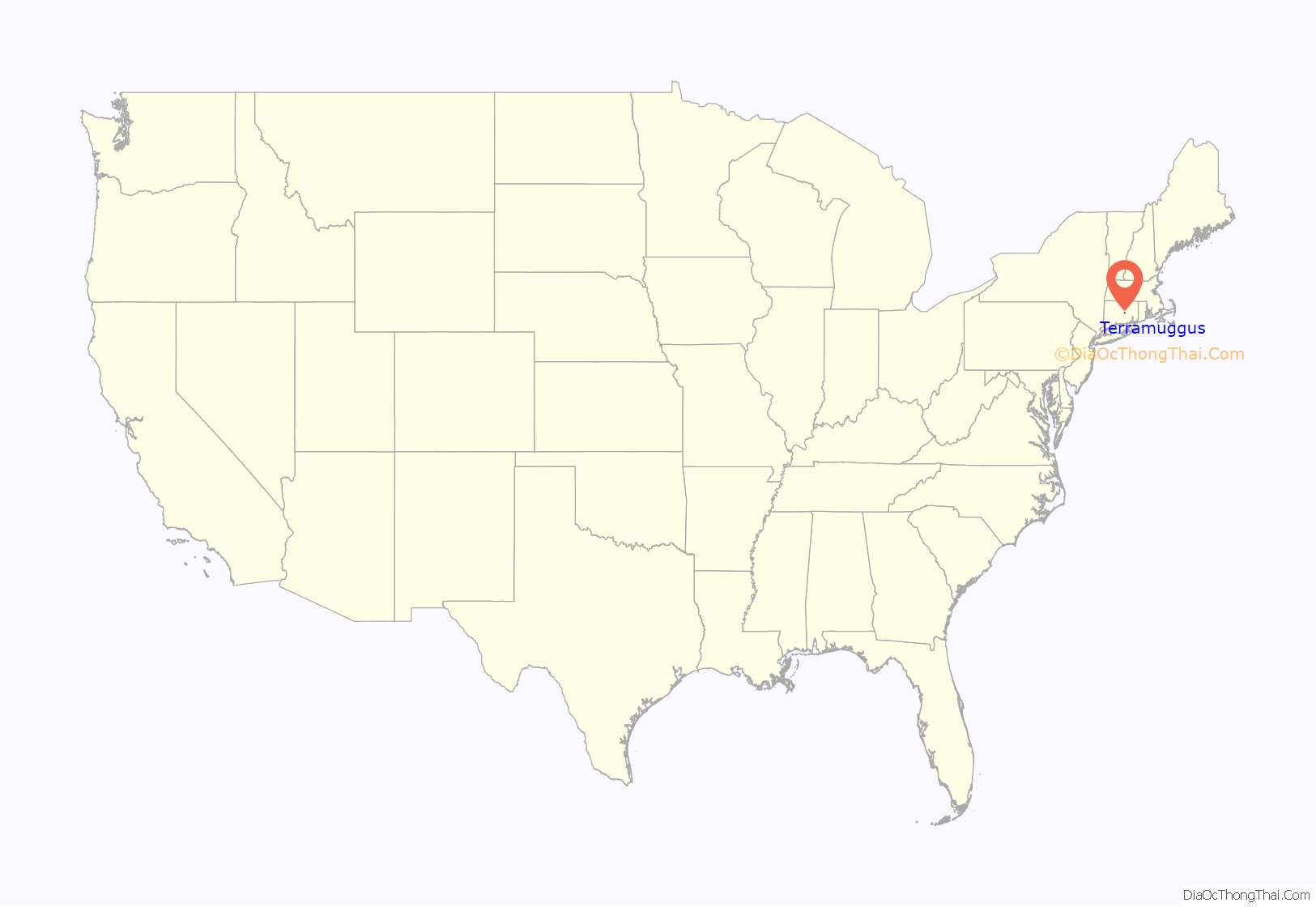
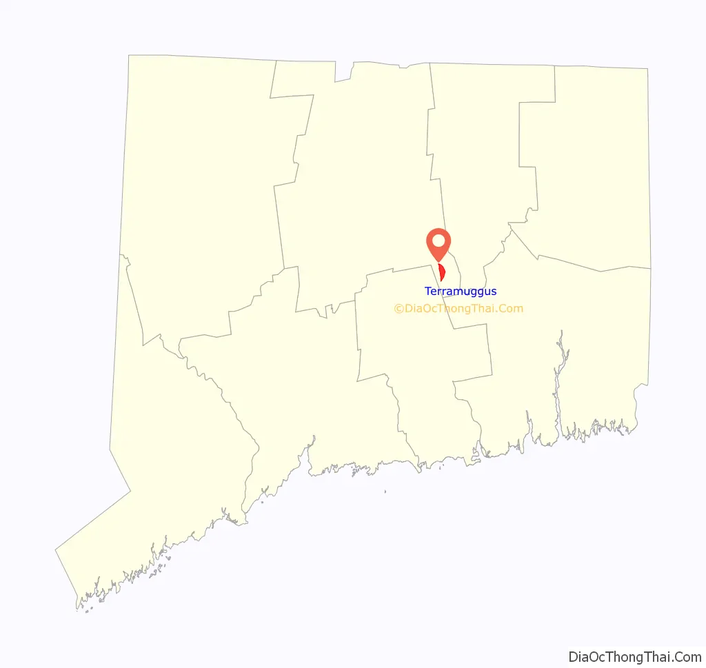
Terramuggus location map. Where is Terramuggus CDP?
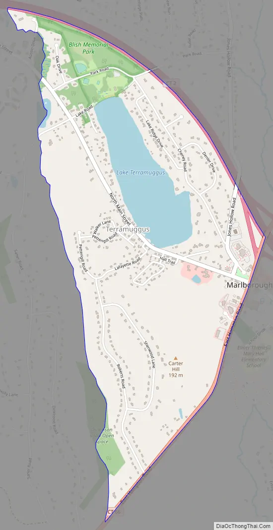
Terramuggus Road Map
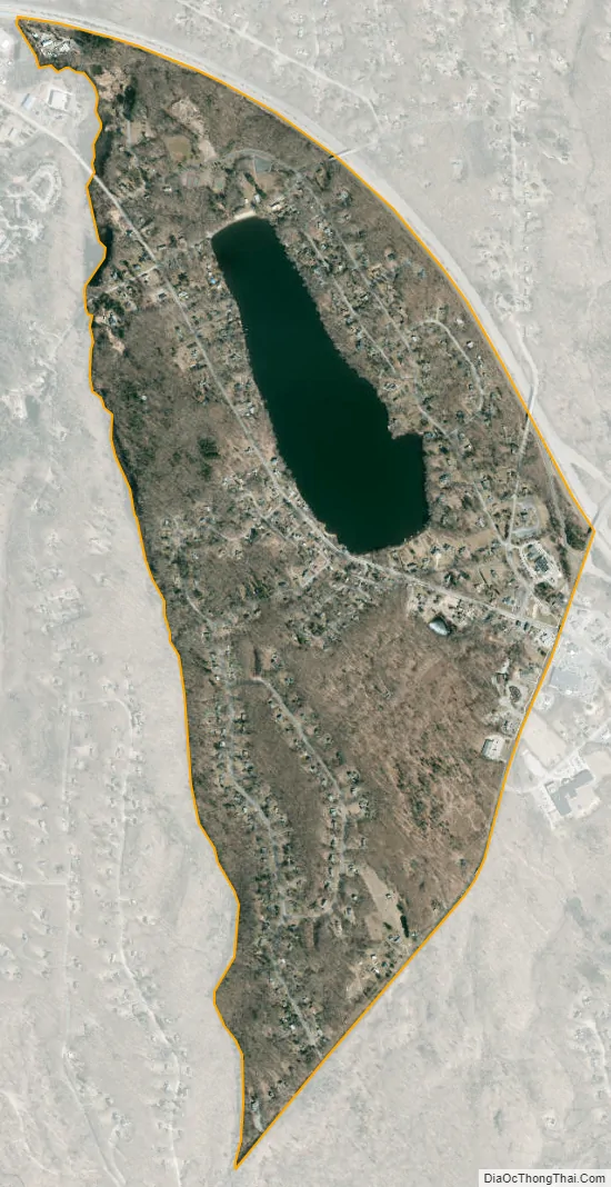
Terramuggus city Satellite Map
Geography
According to the United States Census Bureau, the CDP has a total area of 1.3 square miles (3.3 km), of which 1.2 square miles (3.0 km) is land and 0.12 square miles (0.3 km), or 9.94%, is water. It is centered on Lake Terramuggus and includes part of the town center of Marlborough along its southeastern edge. Connecticut Route 2 forms the northeastern edge of the CDP, with access at Exit 13 to Connecticut Route 66, which forms the southeastern edge of the CDP.
See also
Map of Connecticut State and its subdivision: Map of other states:- Alabama
- Alaska
- Arizona
- Arkansas
- California
- Colorado
- Connecticut
- Delaware
- District of Columbia
- Florida
- Georgia
- Hawaii
- Idaho
- Illinois
- Indiana
- Iowa
- Kansas
- Kentucky
- Louisiana
- Maine
- Maryland
- Massachusetts
- Michigan
- Minnesota
- Mississippi
- Missouri
- Montana
- Nebraska
- Nevada
- New Hampshire
- New Jersey
- New Mexico
- New York
- North Carolina
- North Dakota
- Ohio
- Oklahoma
- Oregon
- Pennsylvania
- Rhode Island
- South Carolina
- South Dakota
- Tennessee
- Texas
- Utah
- Vermont
- Virginia
- Washington
- West Virginia
- Wisconsin
- Wyoming


