Windsor Locks is a town in Hartford County, Connecticut, United States. The town is part of the Capitol Planning Region. As of the 2020 census, its population was 12,613. It is the site of Bradley International Airport, which serves the Greater Hartford-Springfield region and occupies approximately 1/3 of the town. Windsor Locks is also the site of the New England Air Museum.
Located beside the Connecticut River and equidistant from the densely populated cities of Springfield, Massachusetts and Hartford, Connecticut, Windsor Locks is named for a set of canal locks that opened in 1829. Windsor Locks is situated just south of the first large falls in the Connecticut River, the Enfield Falls, which is the head of navigation (the farthest point that seagoing vessels can reach) of the Connecticut River. The Enfield Falls Canal circumvents the Enfield Falls and its nearby shallows.
| Name: | Windsor Locks CDP |
|---|---|
| LSAD Code: | 57 |
| LSAD Description: | CDP (suffix) |
| State: | Connecticut |
| County: | Hartford County |
| Incorporated: | 1854 |
| Elevation: | 157 ft (48 m) |
| Total Area: | 9.4 sq mi (24.3 km²) |
| Land Area: | 9.0 sq mi (23.4 km²) |
| Water Area: | 0.3 sq mi (0.9 km²) |
| Population Density: | 1,300/sq mi (520/km²) |
| ZIP code: | 06096 |
| Area code: | 860/959 |
| FIPS code: | 0987140 |
| GNISfeature ID: | 0212355 |
| Website: | www.windsorlocksct.org |
Online Interactive Map
Click on ![]() to view map in "full screen" mode.
to view map in "full screen" mode.
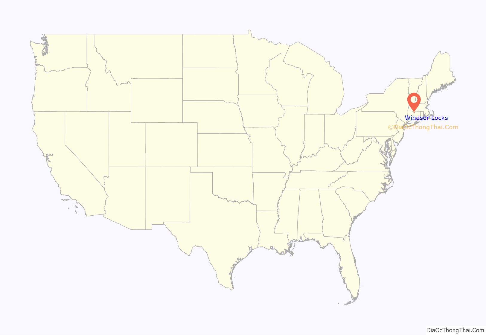
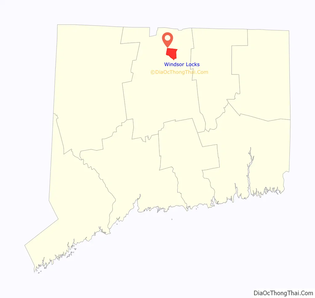
Windsor Locks location map. Where is Windsor Locks CDP?
History
Originally part of Windsor, Windsor Locks broke off into its own settlement in 1854 after the thriving Enfield Locks going around Enfield Falls which opened in 1829. The Bradley International Airport opened as a military base in 1940, and opened to civilian use in 1947. In 1967 the town boundary was somewhat altered due to the opening of the Bradley Connector. The town boundary between Windsor Locks and Windsor changed several times and was altered with Windsor Locks being on the westbound side and the Windsor side on the eastbound side with the border on the median.
The 1965 Little League World Series winning team is from Windsor Locks.
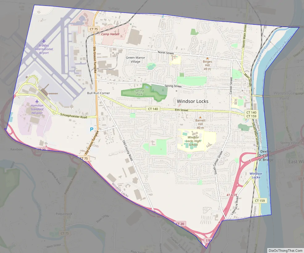
Windsor Locks Road Map
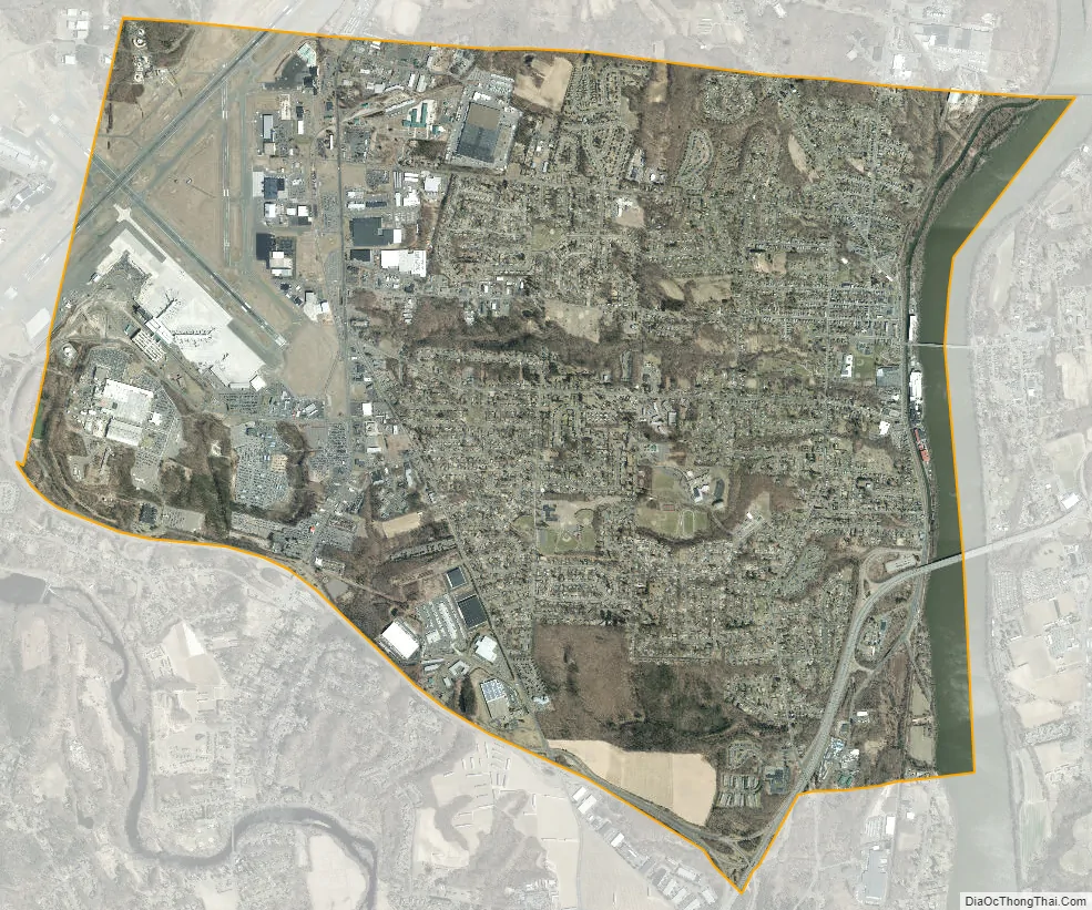
Windsor Locks city Satellite Map
Geography
According to the United States Census Bureau, the town has a total area of 9.4 square miles (24.3 km), of which 9.0 square miles (23.4 km) is land and 0.35 square miles (0.9 km), or 3.65%, is water.
Climate
Windsor Locks has a humid continental climate with hot and humid summer days to cold sometimes frigid winter nights. Average January temperature high is 36 °F (2.2 °C) and a low of 18 °F (−7.8 °C) temps can reach zero degrees or below 4 nights a year. Summer in Windsor Locks can be hot with the average July temperature of 87 °F (30.6 °C) at daytime and 63 °F (17.2 °C) at nighttime. Temperatures at or above 90 can occur 15 to 25 days per year. The hottest temperature at Windsor Locks was 103 °F (39.4 °C) on July 22, 2011, and the coldest recorded temperature was −26 °F (−32 °C) on January 22, 1961. Average rainfall in Windsor Locks is 46.27 inches.
See also
Map of Connecticut State and its subdivision: Map of other states:- Alabama
- Alaska
- Arizona
- Arkansas
- California
- Colorado
- Connecticut
- Delaware
- District of Columbia
- Florida
- Georgia
- Hawaii
- Idaho
- Illinois
- Indiana
- Iowa
- Kansas
- Kentucky
- Louisiana
- Maine
- Maryland
- Massachusetts
- Michigan
- Minnesota
- Mississippi
- Missouri
- Montana
- Nebraska
- Nevada
- New Hampshire
- New Jersey
- New Mexico
- New York
- North Carolina
- North Dakota
- Ohio
- Oklahoma
- Oregon
- Pennsylvania
- Rhode Island
- South Carolina
- South Dakota
- Tennessee
- Texas
- Utah
- Vermont
- Virginia
- Washington
- West Virginia
- Wisconsin
- Wyoming


