Stateline, officially the City of State Line, and historically known as State Line Village, is a city in Kootenai County, Idaho, United States, and is both the easternmost suburb of Spokane, Washington and the westernmost suburb of Coeur d’Alene, Idaho. The population was 38 at the 2010 census. The city is known for the adult services it provides which attract business from nearby Spokane and Coeur d’Alene. The unincorporated community of Spokane Bridge, Washington is located across the Spokane River to the southwest.
| Name: | State Line city |
|---|---|
| LSAD Code: | 25 |
| LSAD Description: | city (suffix) |
| State: | Idaho |
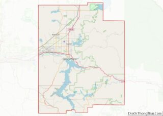
| County: | Kootenai County |
| Incorporated: | 1947 |
| Land Area: | 0.11 sq mi (0.29 km²) |
| Water Area: | 0.00 sq mi (0.00 km²) |
| Population Density: | 445.45/sq mi (171.80/km²) |
| ZIP code: | 83854 |
| Area code: | 208 |
| FIPS code: | 1677050 |
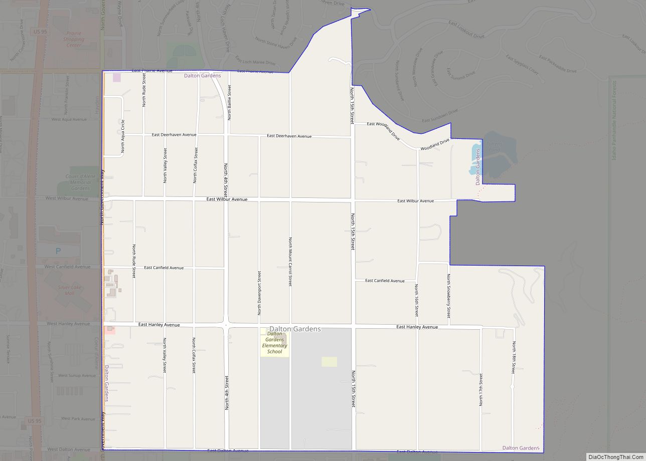
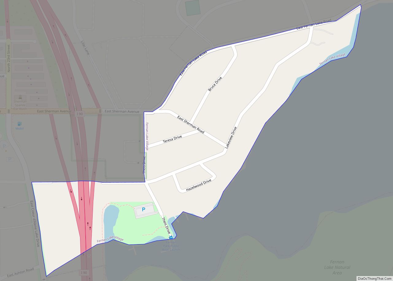
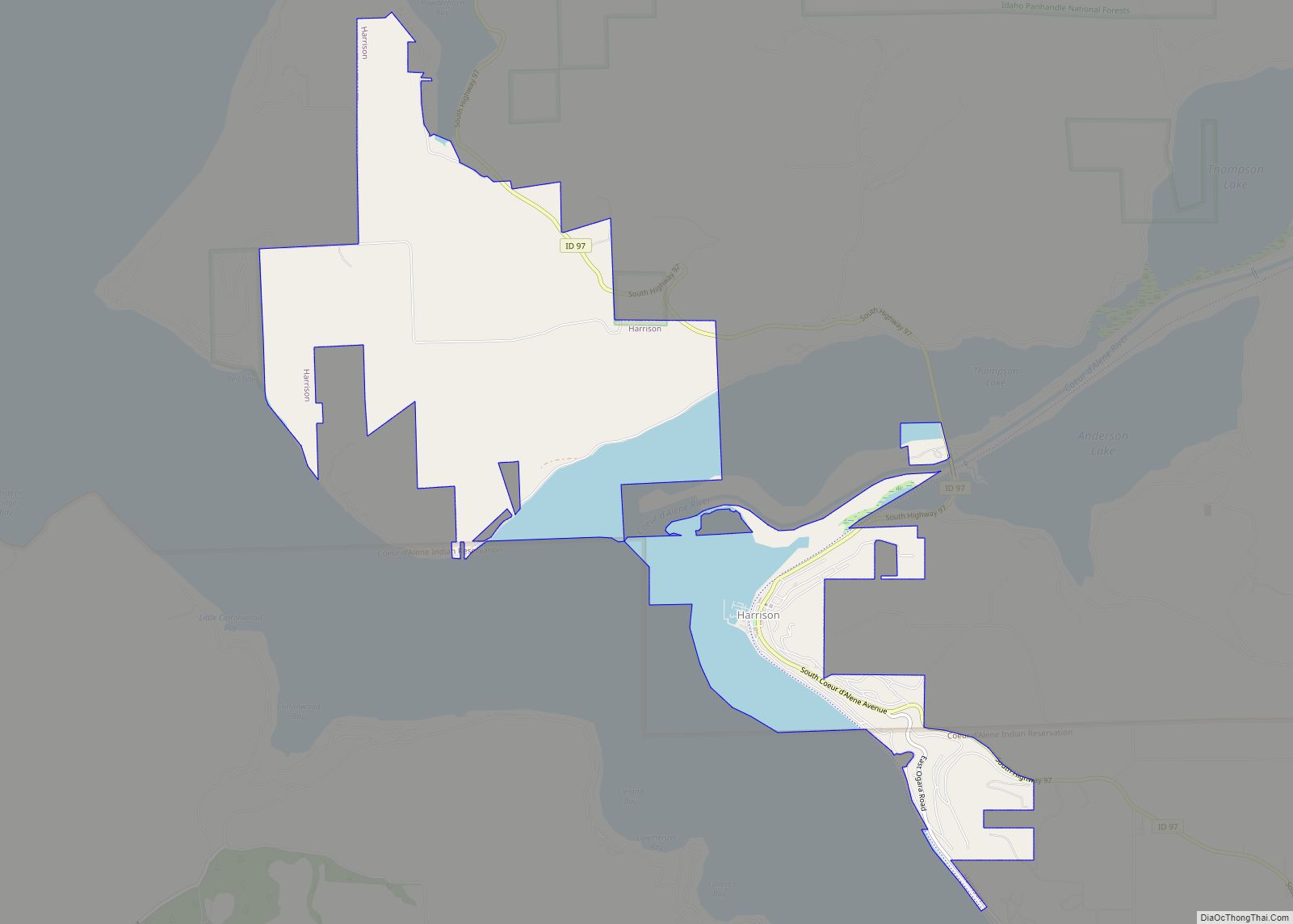
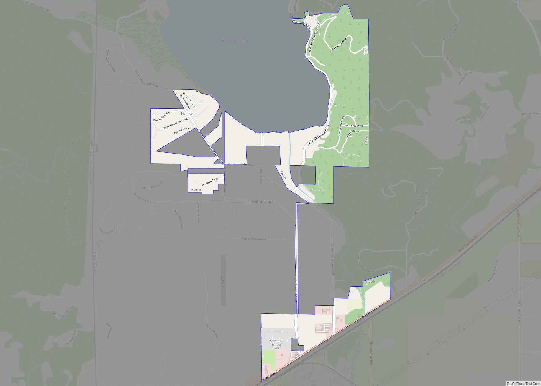
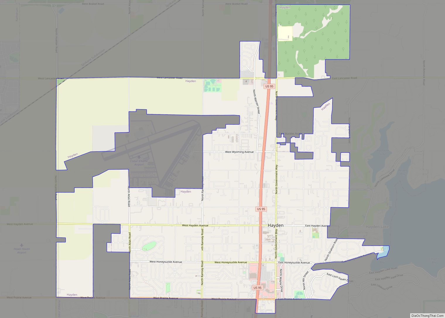
Online Interactive Map
Click on ![]() to view map in "full screen" mode.
to view map in "full screen" mode.
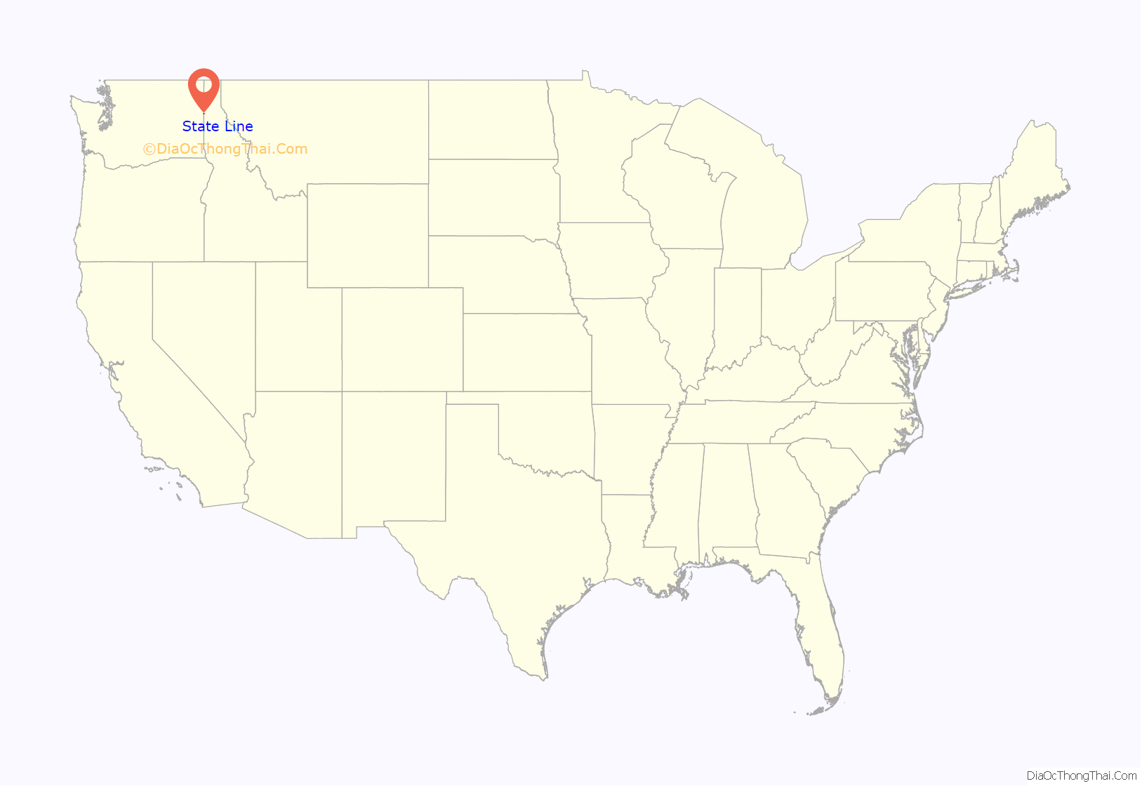
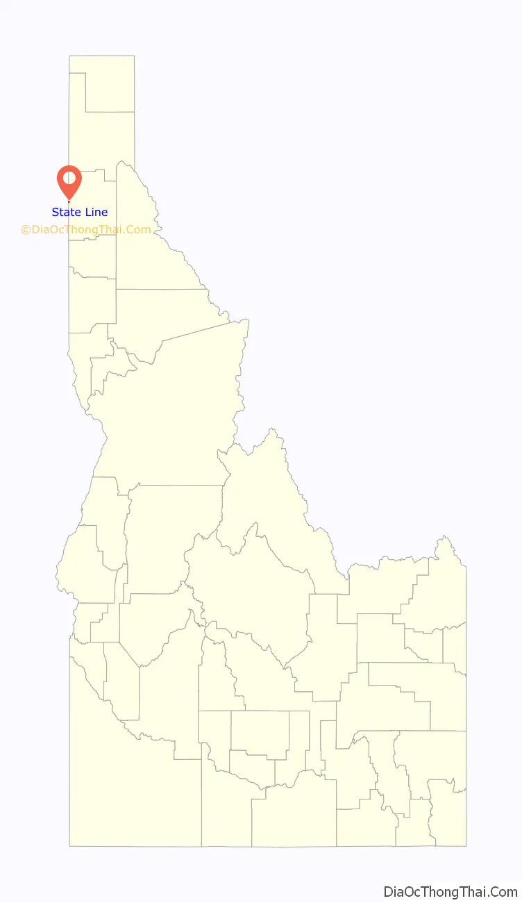
State Line location map. Where is State Line city?
History
Stateline, located along the former route of U.S. Route 10, was incorporated in 1947 so that it could sell liquor and have slot machines. It had a population of 137 at the time.
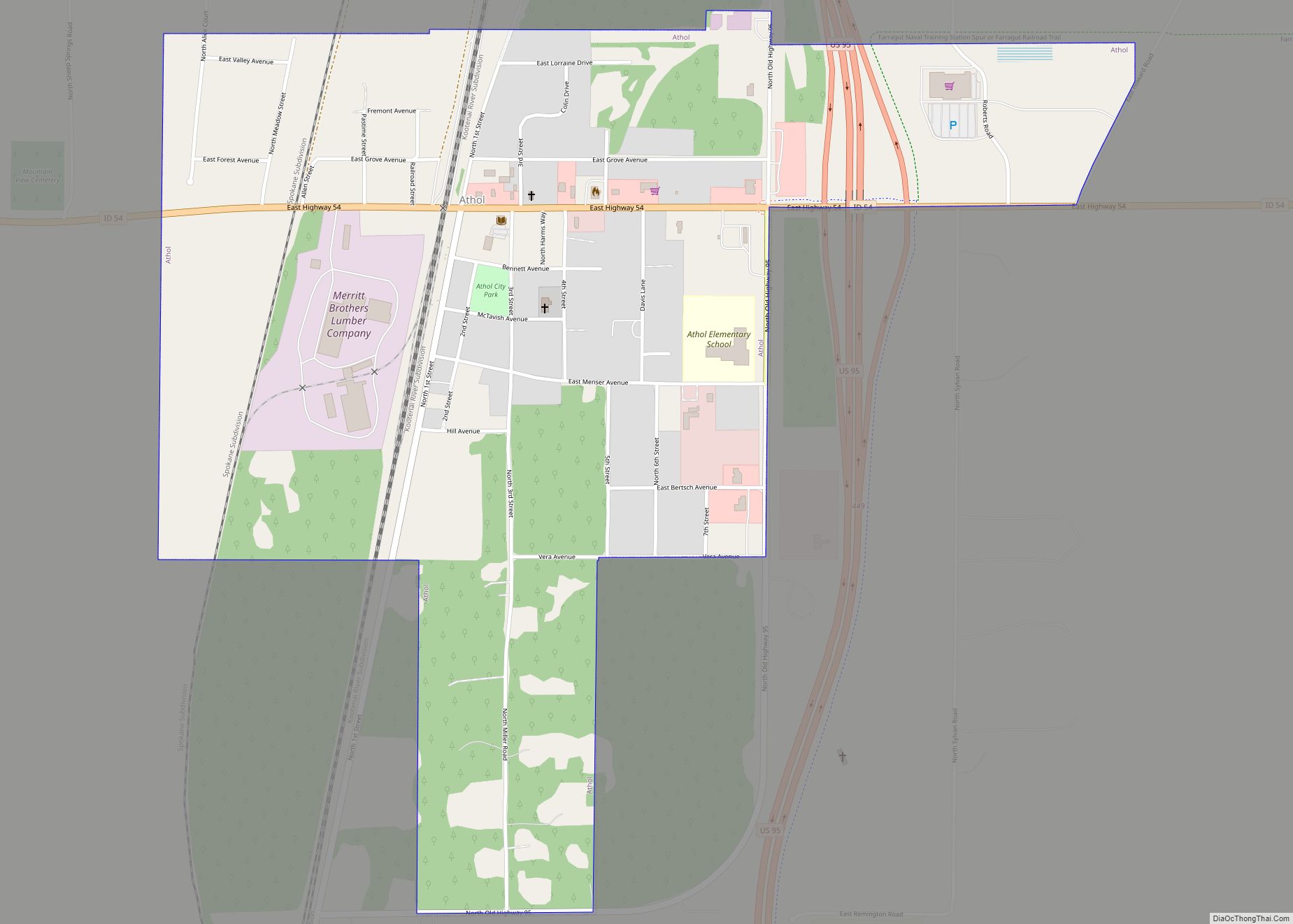
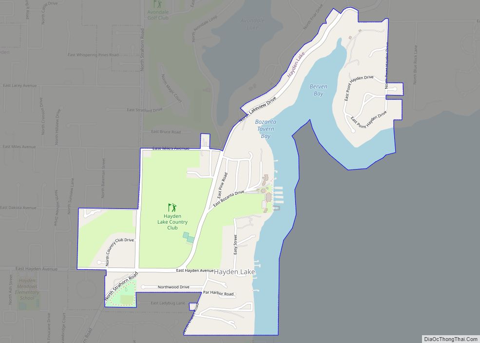
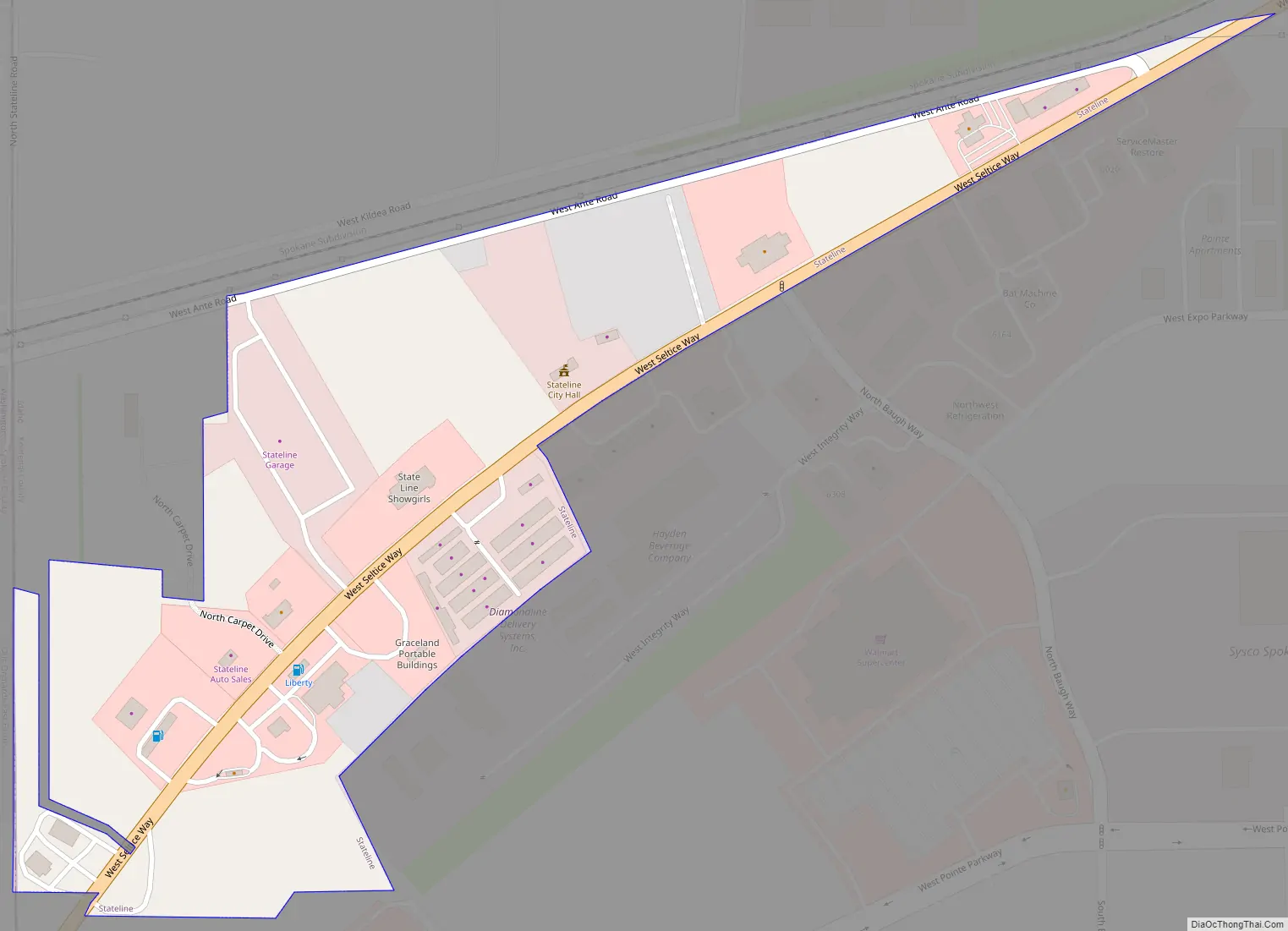
State Line Road Map
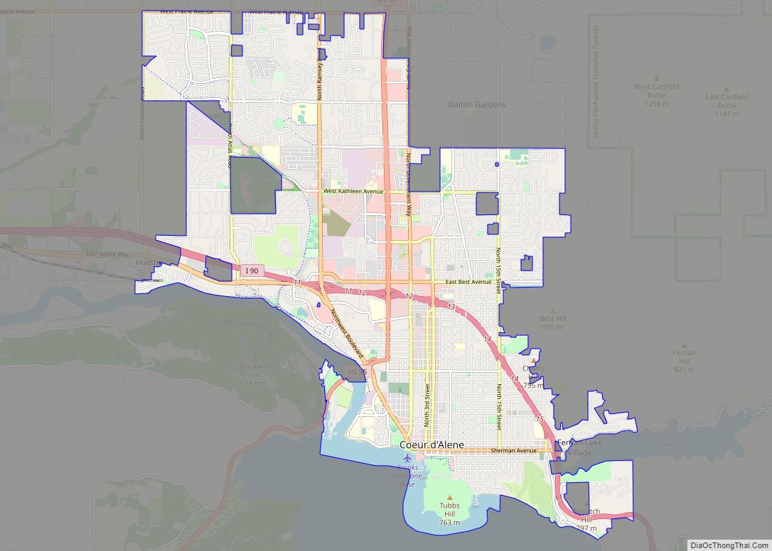
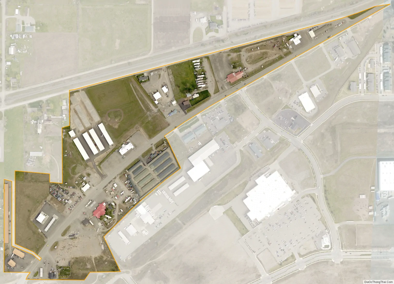
State Line city Satellite Map
Geography
Stateline is located at 47°42′18″N 117°2′17″W / 47.70500°N 117.03806°W / 47.70500; -117.03806 (47.705131, -117.037933).
According to the United States Census Bureau, the city has a total area of 0.10 square miles (0.26 km), all land.
See also
Map of Idaho State and its subdivision:- Ada
- Adams
- Bannock
- Bear Lake
- Benewah
- Bingham
- Blaine
- Boise
- Bonner
- Bonneville
- Boundary
- Butte
- Camas
- Canyon
- Caribou
- Cassia
- Clark
- Clearwater
- Custer
- Elmore
- Franklin
- Fremont
- Gem
- Gooding
- Idaho
- Jefferson
- Jerome
- Kootenai
- Latah
- Lemhi
- Lewis
- Lincoln
- Madison
- Minidoka
- Nez Perce
- Oneida
- Owyhee
- Payette
- Power
- Shoshone
- Teton
- Twin Falls
- Valley
- Washington
- Alabama
- Alaska
- Arizona
- Arkansas
- California
- Colorado
- Connecticut
- Delaware
- District of Columbia
- Florida
- Georgia
- Hawaii
- Idaho
- Illinois
- Indiana
- Iowa
- Kansas
- Kentucky
- Louisiana
- Maine
- Maryland
- Massachusetts
- Michigan
- Minnesota
- Mississippi
- Missouri
- Montana
- Nebraska
- Nevada
- New Hampshire
- New Jersey
- New Mexico
- New York
- North Carolina
- North Dakota
- Ohio
- Oklahoma
- Oregon
- Pennsylvania
- Rhode Island
- South Carolina
- South Dakota
- Tennessee
- Texas
- Utah
- Vermont
- Virginia
- Washington
- West Virginia
- Wisconsin
- Wyoming