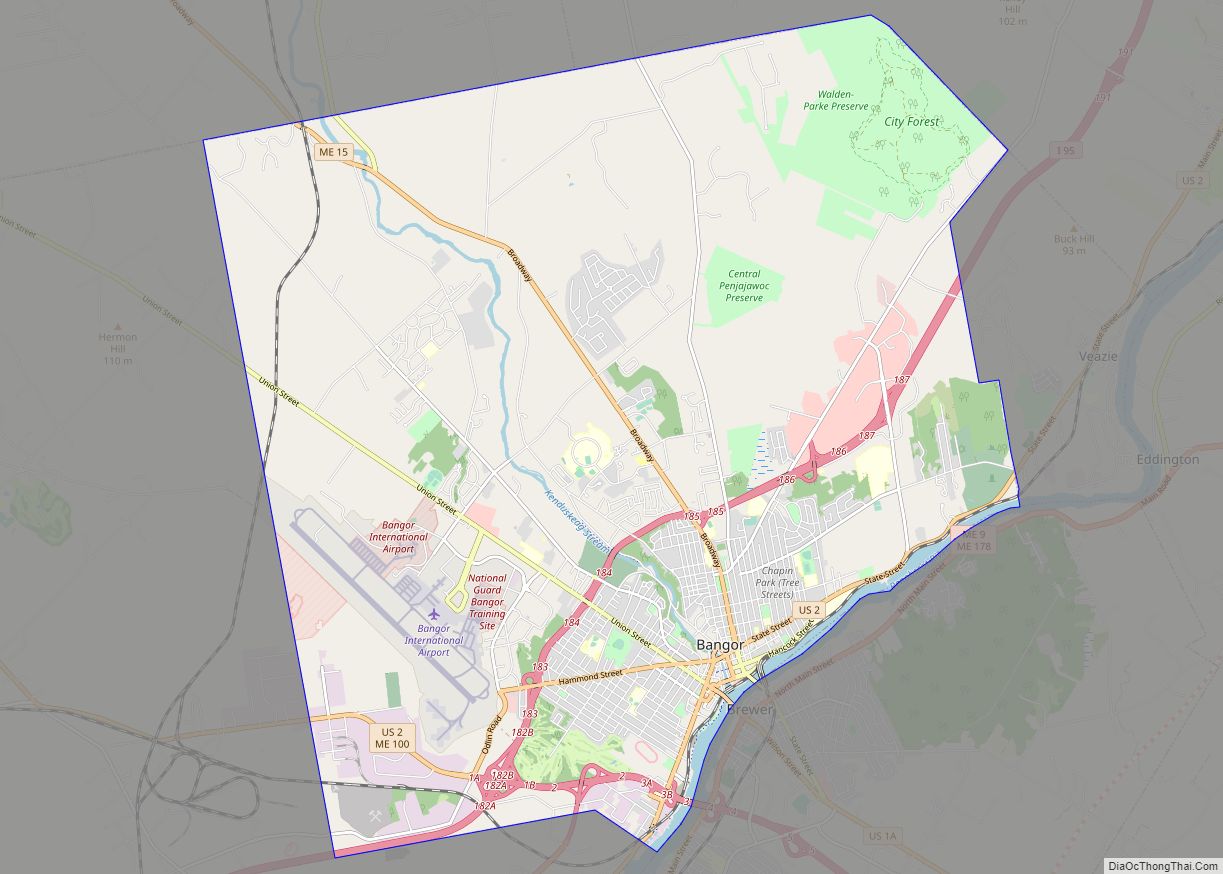
Brewer is a city in Penobscot County, Maine, United States. It is part of the Bangor, Maine Metropolitan Statistical Area. The city is named after its first settler, Colonel John Brewer. The population was 9,672 at the 2020 census.
Brewer is the sister city of Bangor. The two are at the head of navigation on opposite sides of the Penobscot River estuary and are connected by three bridges. Brewer and Bangor were originally both part of Condeskeag Plantation, though the Brewer part was also called “New Worcester” after John Brewer’s birthplace. In 1788 Orrington, Maine was incorporated with Brewer/New Worcester as its major village. The other half of kenduskeag incorporated in 1791 as Bangor. Finally, in 1812 Brewer broke away from Orrington and incorporated as a separate town.
| Name: | Brewer city |
|---|---|
| LSAD Code: | 25 |
| LSAD Description: | city (suffix) |
| State: | Maine |
| County: | Penobscot County |
| Elevation: | 49 ft (15 m) |
| Total Area: | 15.68 sq mi (40.62 km²) |
| Land Area: | 15.24 sq mi (39.47 km²) |
| Water Area: | 0.45 sq mi (1.16 km²) 2.87% |
| Total Population: | 9,672 |
| Population Density: | 634.73/sq mi (245.07/km²) |
| ZIP code: | 04412 |
| Area code: | 207 |
| FIPS code: | 2306925 |
| GNISfeature ID: | 0562936 |
| Website: | www.brewermaine.gov |
Online Interactive Map
Click on ![]() to view map in "full screen" mode.
to view map in "full screen" mode.
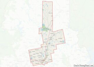
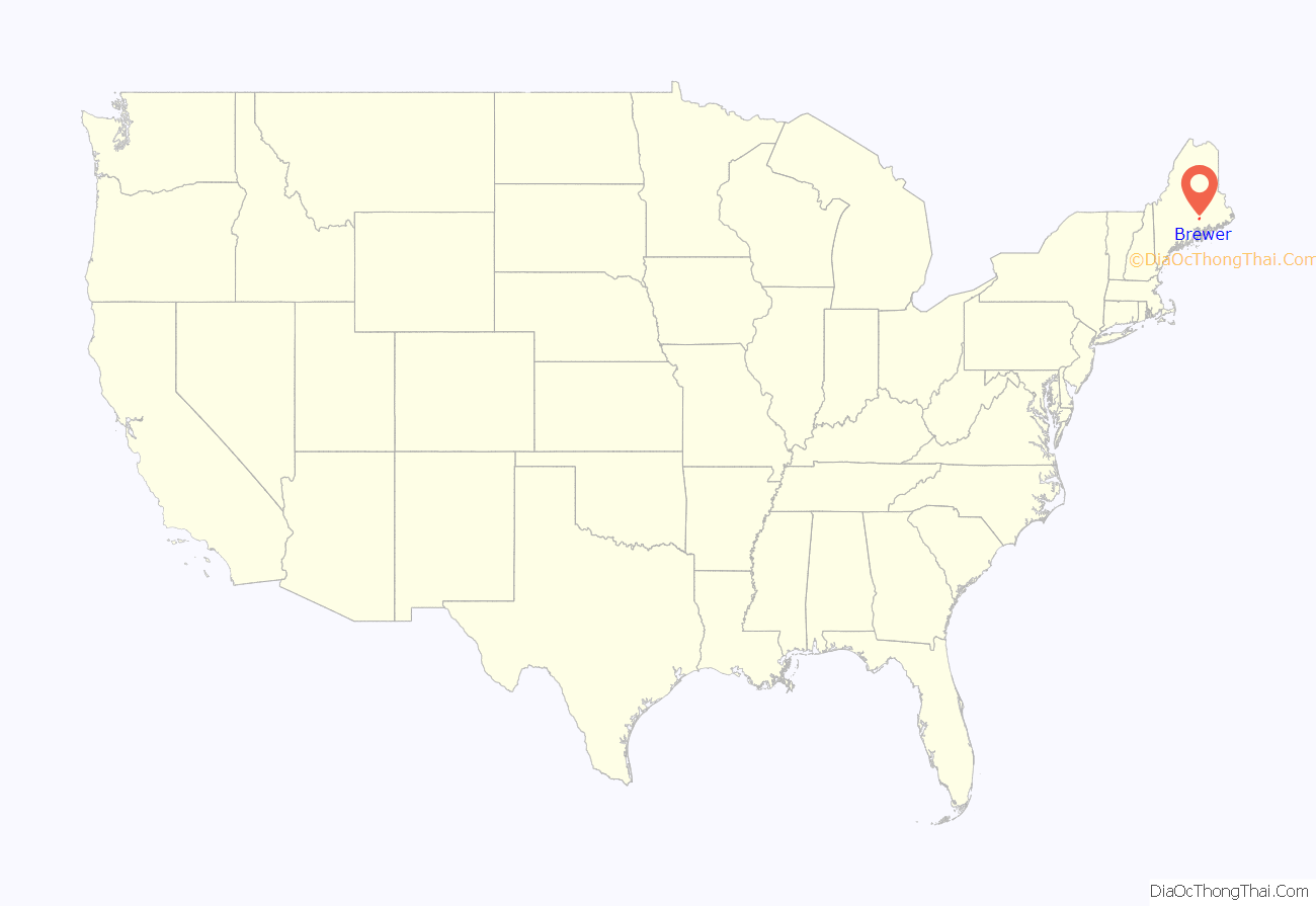
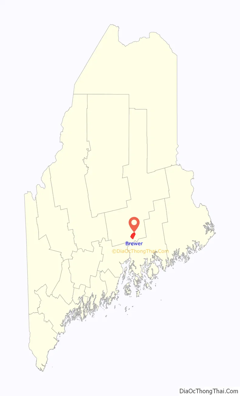
Brewer location map. Where is Brewer city?
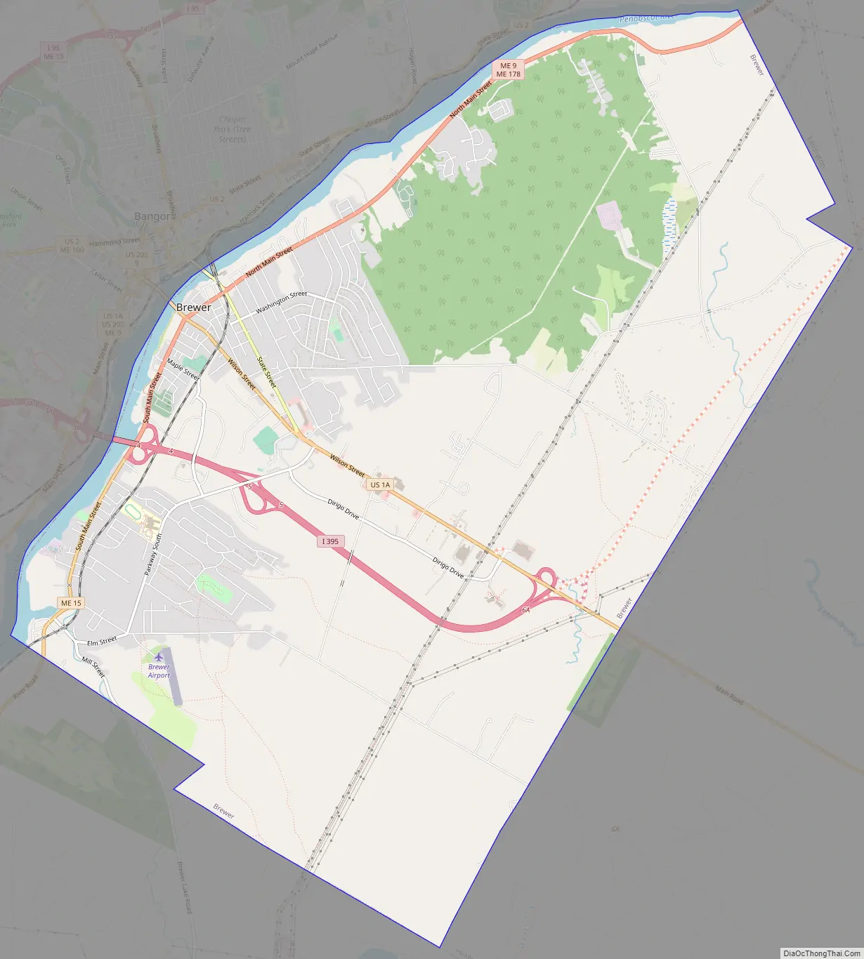
Brewer Road Map
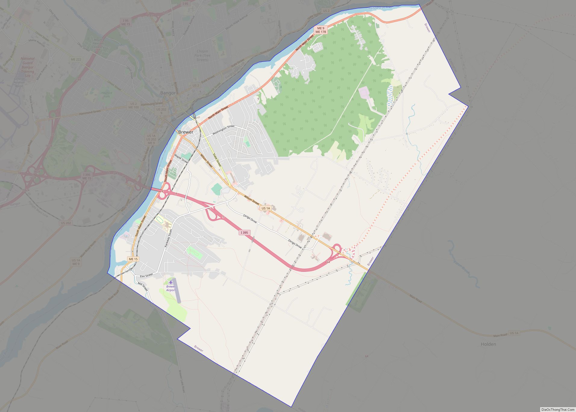
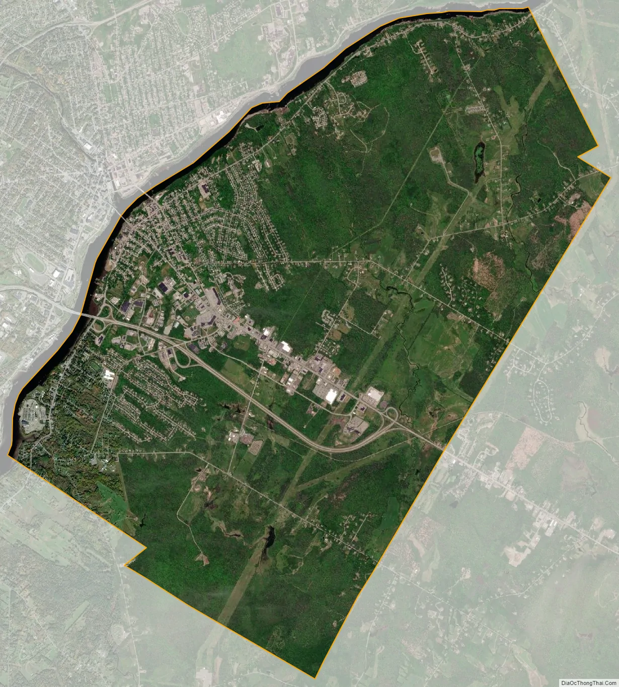
Brewer city Satellite Map
Geography
According to the United States Census Bureau, the city has a total area of 15.68 square miles (40.61 km), of which, 15.23 square miles (39.45 km) is land and 0.45 square miles (1.17 km) is water.
The villages of South Brewer and North Brewer are both within city limits. South Brewer was formerly the city’s major industrial area.
Climate
This climatic region is typified by large seasonal temperature differences, with warm to hot (and often humid) summers and cold (sometimes severely cold) winters. According to the Köppen Climate Classification system, Brewer has a humid continental climate, abbreviated “Dfb” on climate maps.
See also
Map of Maine State and its subdivision: Map of other states:- Alabama
- Alaska
- Arizona
- Arkansas
- California
- Colorado
- Connecticut
- Delaware
- District of Columbia
- Florida
- Georgia
- Hawaii
- Idaho
- Illinois
- Indiana
- Iowa
- Kansas
- Kentucky
- Louisiana
- Maine
- Maryland
- Massachusetts
- Michigan
- Minnesota
- Mississippi
- Missouri
- Montana
- Nebraska
- Nevada
- New Hampshire
- New Jersey
- New Mexico
- New York
- North Carolina
- North Dakota
- Ohio
- Oklahoma
- Oregon
- Pennsylvania
- Rhode Island
- South Carolina
- South Dakota
- Tennessee
- Texas
- Utah
- Vermont
- Virginia
- Washington
- West Virginia
- Wisconsin
- Wyoming