Camden is a census-designated place (CDP) comprising the main village in the town of Camden in Knox County, Maine, United States. The population was 3,570 at the 2010 census, out of 4,850 in the entire town of Camden.
| Name: | Camden CDP |
|---|---|
| LSAD Code: | 57 |
| LSAD Description: | CDP (suffix) |
| State: | Maine |
| County: | Knox County |
| Elevation: | 26 ft (8 m) |
| Total Area: | 3.77 sq mi (9.76 km²) |
| Land Area: | 3.77 sq mi (9.75 km²) |
| Water Area: | 0.00 sq mi (0.01 km²) |
| Total Population: | 3,850 |
| Population Density: | 1,022.58/sq mi (394.87/km²) |
| ZIP code: | 04843, 04847 |
| Area code: | 207 |
| FIPS code: | 2309690 |
| GNISfeature ID: | 0563374 |
Online Interactive Map
Click on ![]() to view map in "full screen" mode.
to view map in "full screen" mode.
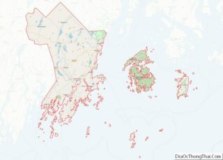
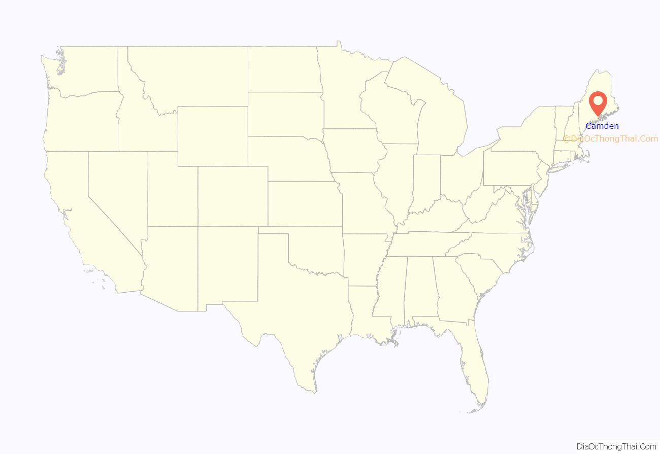
Camden location map. Where is Camden CDP?
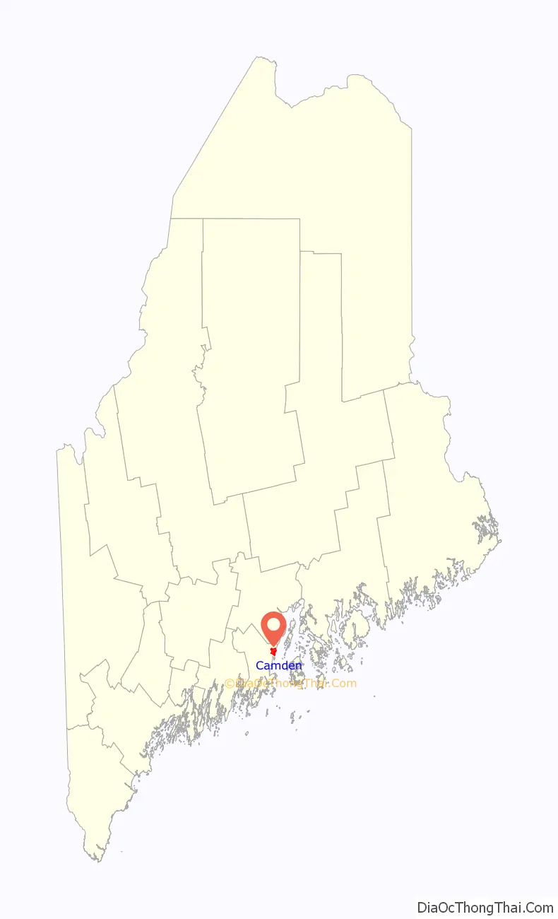
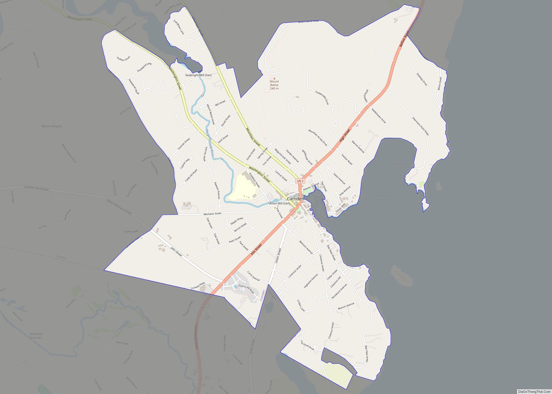
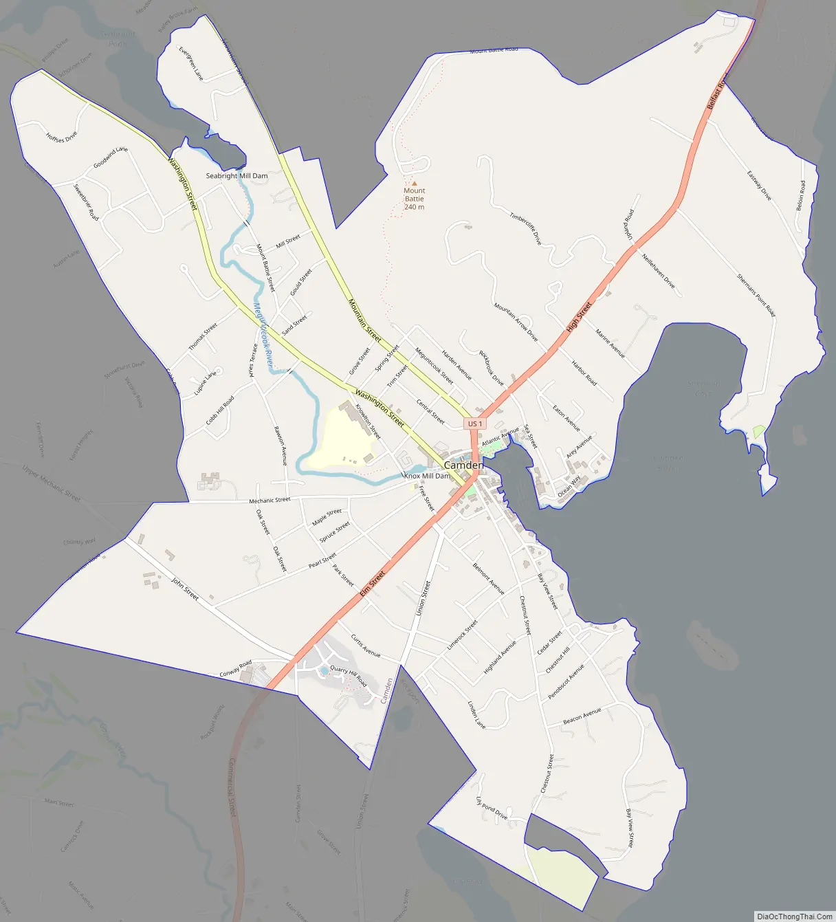
Camden Road Map
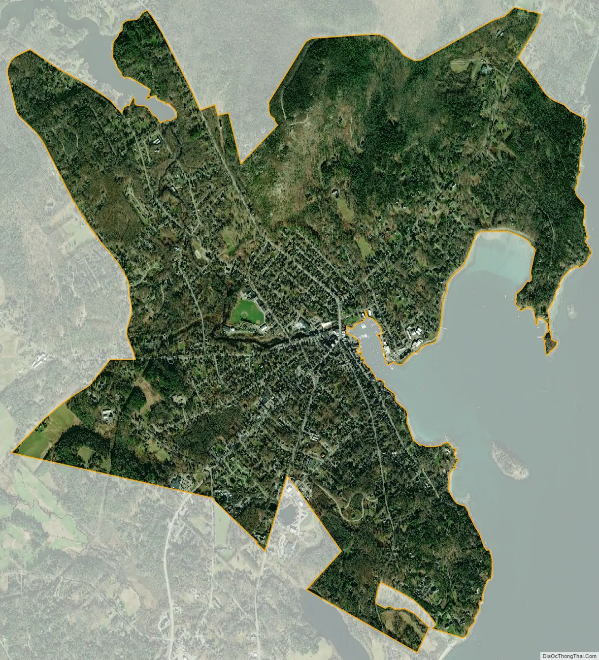
Camden city Satellite Map
Geography
The Camden CDP is located in the southeast part of the town of Camden at 44°12′37″N 69°4′6″W / 44.21028°N 69.06833°W / 44.21028; -69.06833 (44.21044, −69.068376), where the Megunticook River enters Penobscot Bay. The CDP extends south to the Rockport town line, west to Simonton Road and Cobb Road, and north to Mount Battie Road and Beloin Road. The east edge of the CDP follows the shore of Penobscot Bay. The 790-foot (240 m) summit of Mount Battie, part of Camden Hills State Park, is within the CDP.
U.S. Route 1 passes through the center of the village, leading north 18 miles (29 km) to Belfast and south 8 miles (13 km) to Rockland. Maine State Routes 52 (Mountain Street) and 105 (Washington Street) lead northwest out of the village. Route 52 leads 7 miles (11 km) to Lincolnville Center, while Route 105 leads 6 miles (10 km) to Hope.
According to the United States Census Bureau, the CDP has a total area of 3.8 square miles (9.8 km), all of it recorded as land.
See also
Map of Maine State and its subdivision: Map of other states:- Alabama
- Alaska
- Arizona
- Arkansas
- California
- Colorado
- Connecticut
- Delaware
- District of Columbia
- Florida
- Georgia
- Hawaii
- Idaho
- Illinois
- Indiana
- Iowa
- Kansas
- Kentucky
- Louisiana
- Maine
- Maryland
- Massachusetts
- Michigan
- Minnesota
- Mississippi
- Missouri
- Montana
- Nebraska
- Nevada
- New Hampshire
- New Jersey
- New Mexico
- New York
- North Carolina
- North Dakota
- Ohio
- Oklahoma
- Oregon
- Pennsylvania
- Rhode Island
- South Carolina
- South Dakota
- Tennessee
- Texas
- Utah
- Vermont
- Virginia
- Washington
- West Virginia
- Wisconsin
- Wyoming