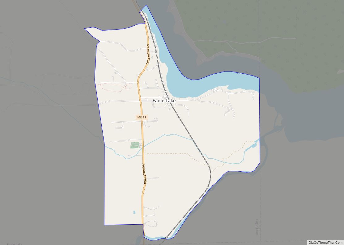
Eagle Lake is a town in Aroostook County, Maine, United States. The population was 772 at the 2020 census. The town was named by a body of troops heading from Bangor to the Aroostook War for the many eagles that they saw around the lake. A total of 49.0% of the population speaks French, reflecting a trend in Northeastern Maine.
| Name: | Eagle Lake CDP |
|---|---|
| LSAD Code: | 57 |
| LSAD Description: | CDP (suffix) |
| State: | Maine |
| County: | Aroostook County |
| Elevation: | 958 ft (292 m) |
| Total Area: | 4.26 sq mi (11.04 km²) |
| Land Area: | 3.96 sq mi (10.24 km²) |
| Water Area: | 0.31 sq mi (0.80 km²) |
| Total Population: | 553 |
| Population Density: | 139.82/sq mi (53.99/km²) |
| ZIP code: | 04739 |
| Area code: | 207 |
| FIPS code: | 2319385 |
| GNISfeature ID: | 0582451 |
| Website: | eaglelaketown.org |
Online Interactive Map
Click on ![]() to view map in "full screen" mode.
to view map in "full screen" mode.
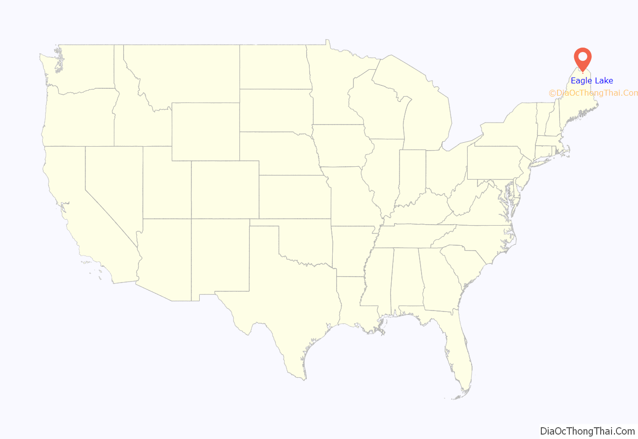
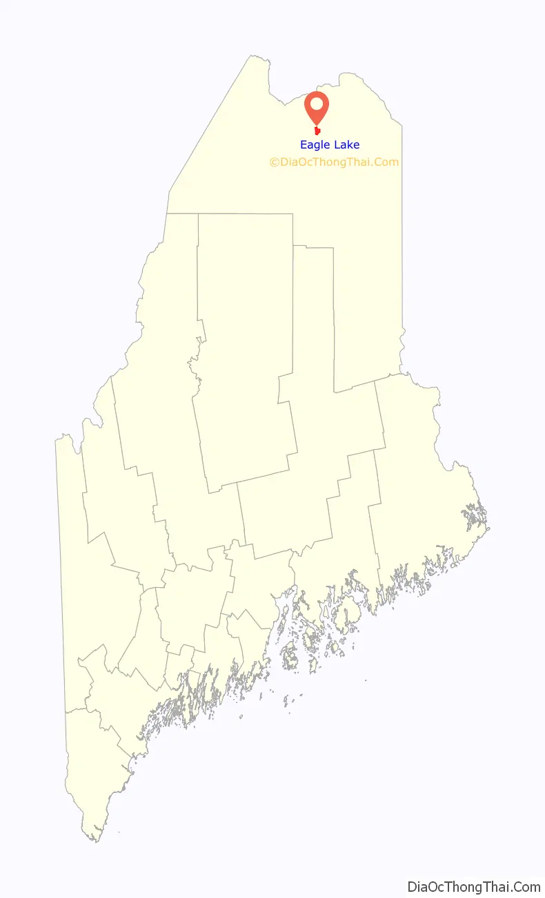
Eagle Lake location map. Where is Eagle Lake CDP?
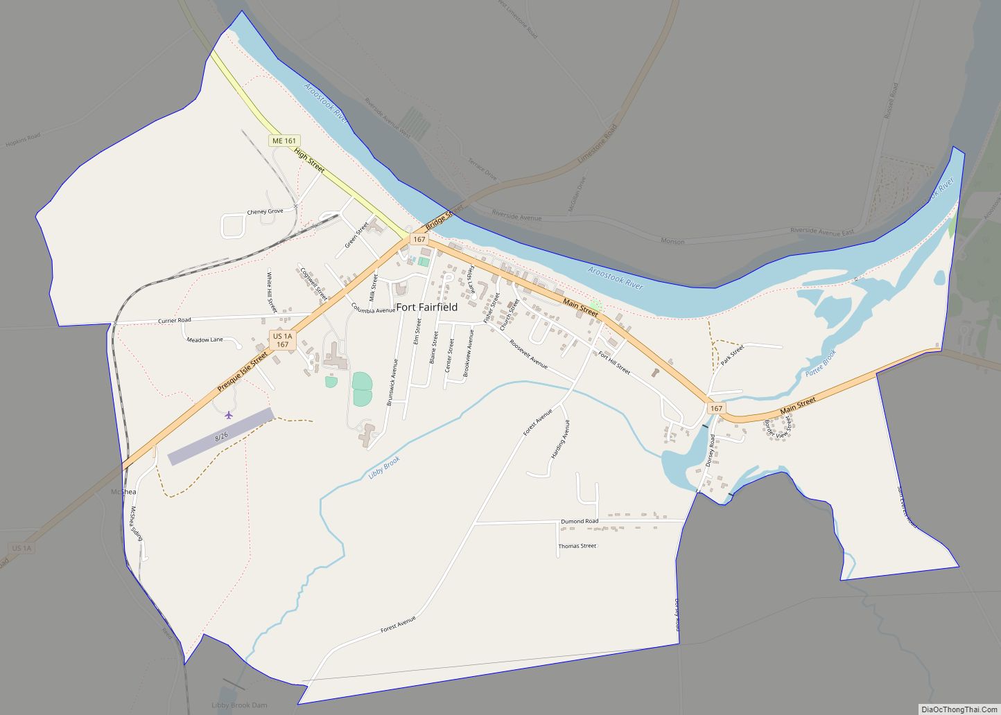
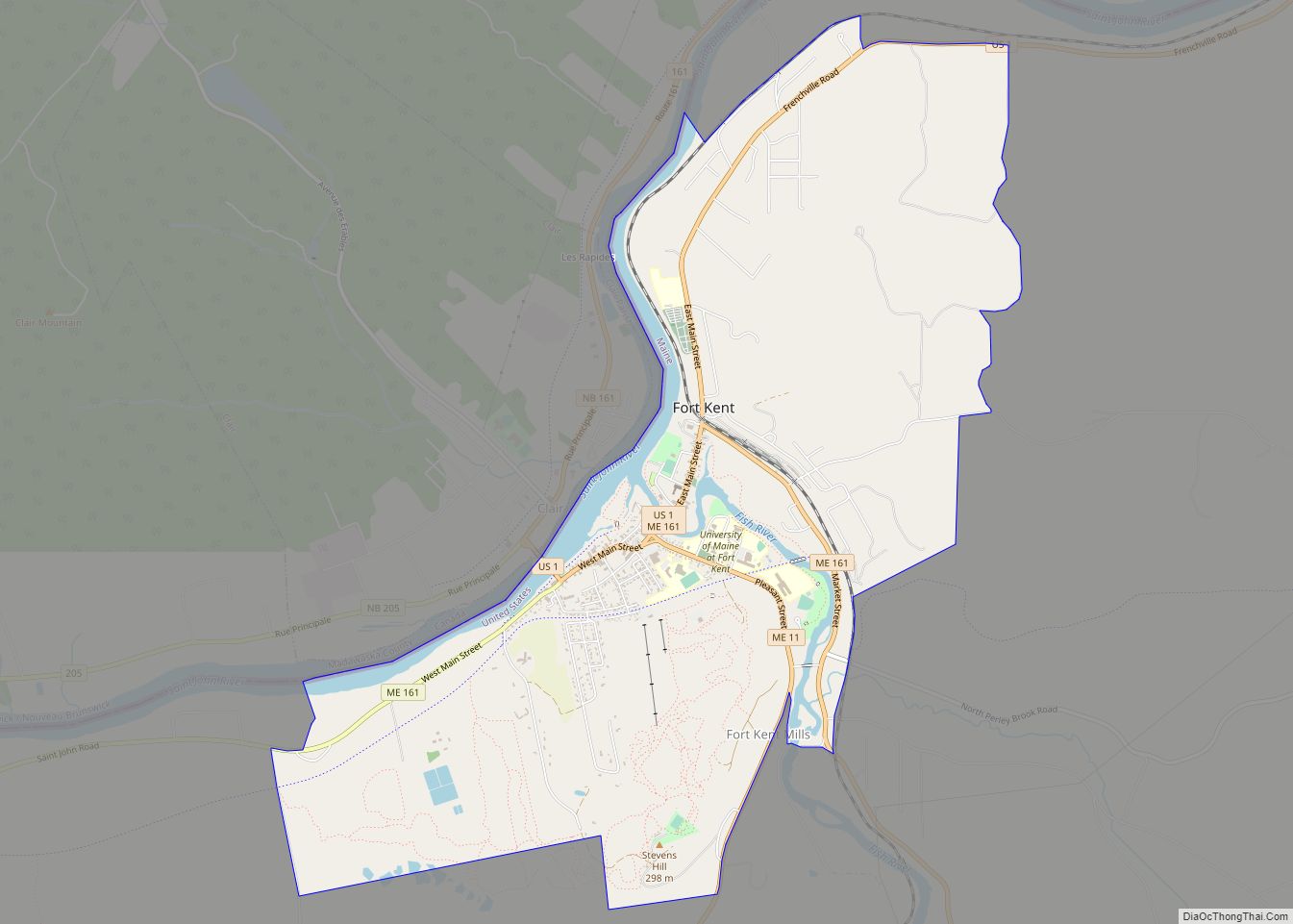
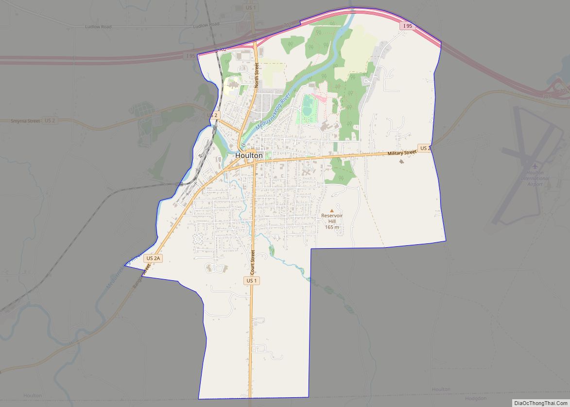
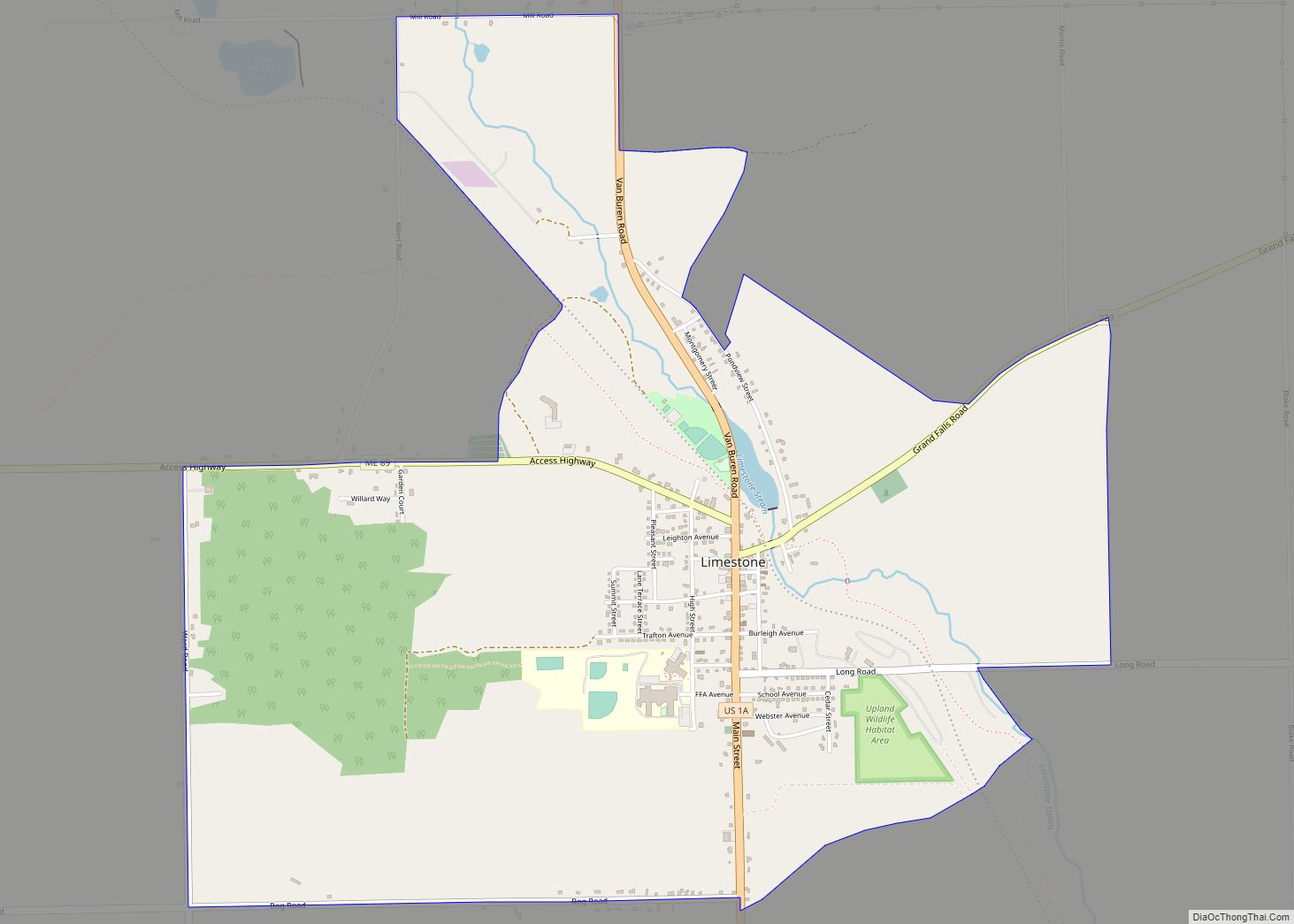
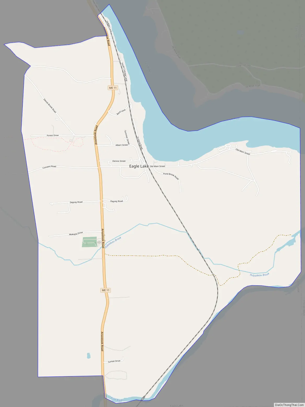
Eagle Lake Road Map
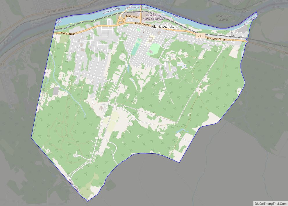
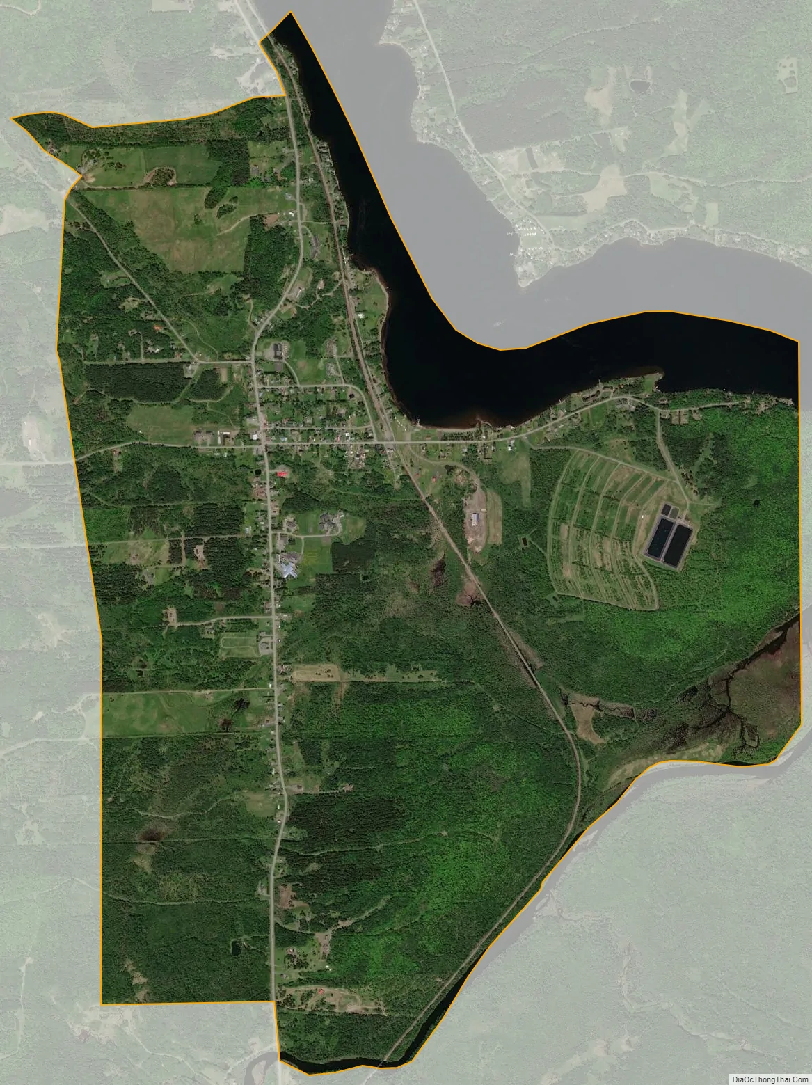
Eagle Lake city Satellite Map
Geography
According to the United States Census Bureau, the town has a total area of 39.48 square miles (102.25 km), of which 37.36 square miles (96.76 km) is land and 2.12 square miles (5.49 km) is water.
See also
Map of Maine State and its subdivision: Map of other states:- Alabama
- Alaska
- Arizona
- Arkansas
- California
- Colorado
- Connecticut
- Delaware
- District of Columbia
- Florida
- Georgia
- Hawaii
- Idaho
- Illinois
- Indiana
- Iowa
- Kansas
- Kentucky
- Louisiana
- Maine
- Maryland
- Massachusetts
- Michigan
- Minnesota
- Mississippi
- Missouri
- Montana
- Nebraska
- Nevada
- New Hampshire
- New Jersey
- New Mexico
- New York
- North Carolina
- North Dakota
- Ohio
- Oklahoma
- Oregon
- Pennsylvania
- Rhode Island
- South Carolina
- South Dakota
- Tennessee
- Texas
- Utah
- Vermont
- Virginia
- Washington
- West Virginia
- Wisconsin
- Wyoming