Fort Fairfield is a census-designated place (CDP) comprising the main village within the town of Fort Fairfield in Aroostook County, Maine, United States. The population of the CDP was 1,825 at the 2010 census, out of a population of 3,496 for the entire town.
Fort Fairfield is named for John Fairfield, 13th and 16th governor of Maine.
| Name: | Fort Fairfield CDP |
|---|---|
| LSAD Code: | 57 |
| LSAD Description: | CDP (suffix) |
| State: | Maine |
| County: | Aroostook County |
| Elevation: | 381 ft (116 m) |
| Total Area: | 3.04 sq mi (7.89 km²) |
| Land Area: | 2.93 sq mi (7.58 km²) |
| Water Area: | 0.12 sq mi (0.30 km²) |
| Total Population: | 1,666 |
| Population Density: | 568.99/sq mi (219.65/km²) |
| ZIP code: | 04742 |
| Area code: | 207 |
| FIPS code: | 2325580 |
| GNISfeature ID: | 0566405 |
Online Interactive Map
Click on ![]() to view map in "full screen" mode.
to view map in "full screen" mode.
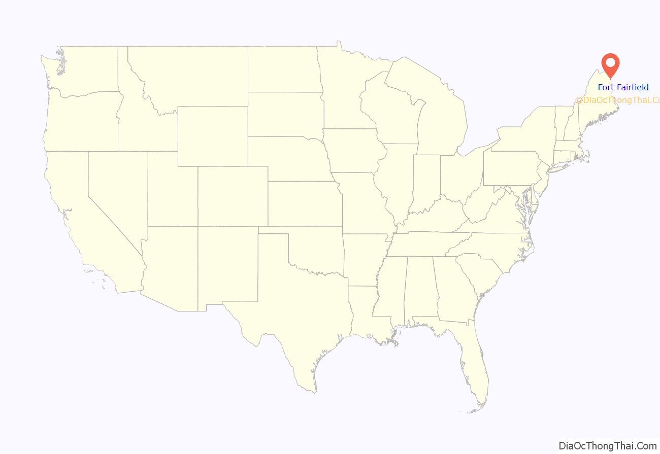
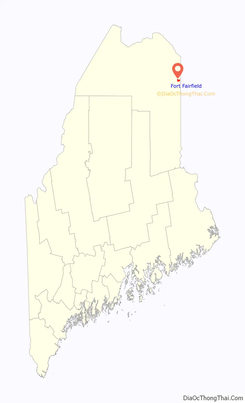
Fort Fairfield location map. Where is Fort Fairfield CDP?
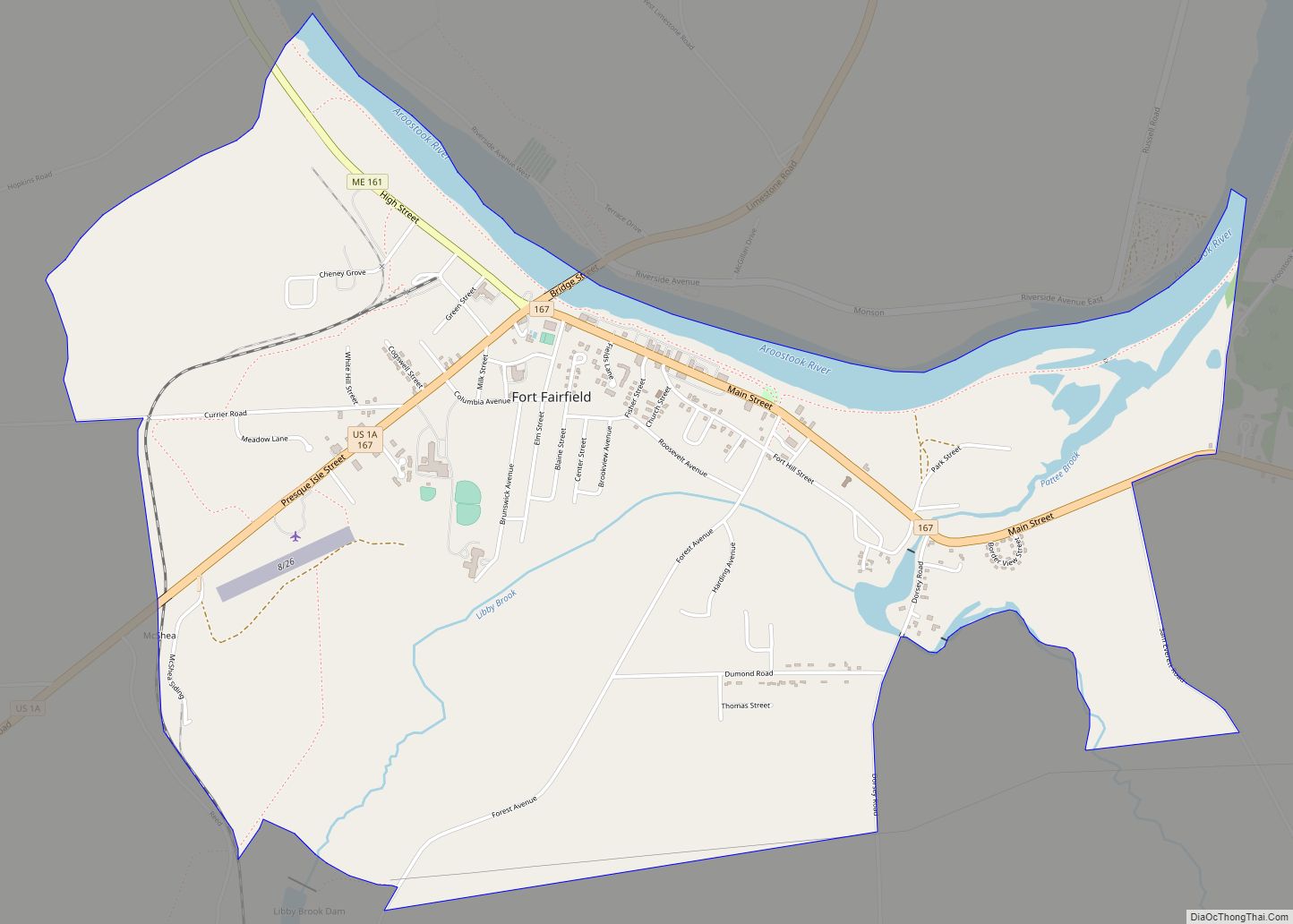
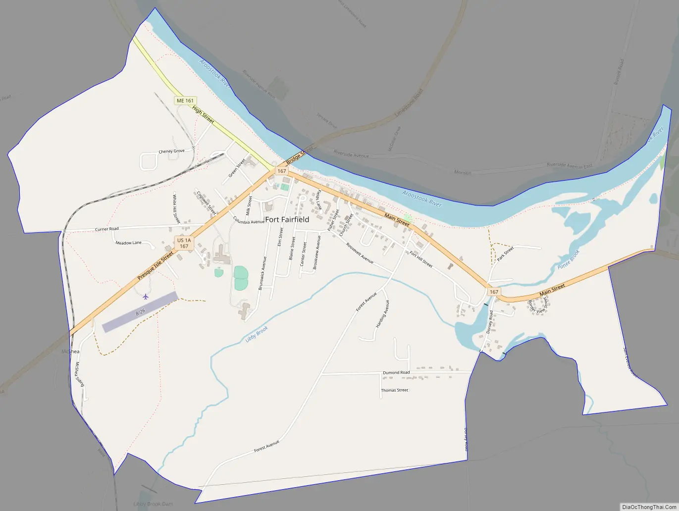
Fort Fairfield Road Map
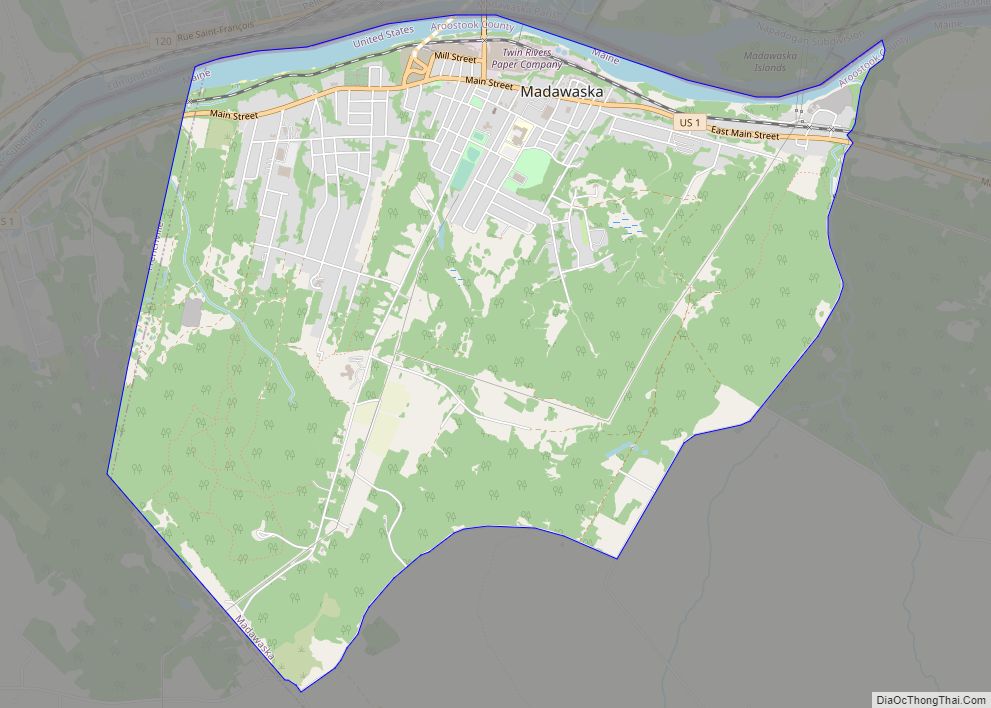
Fort Fairfield city Satellite Map
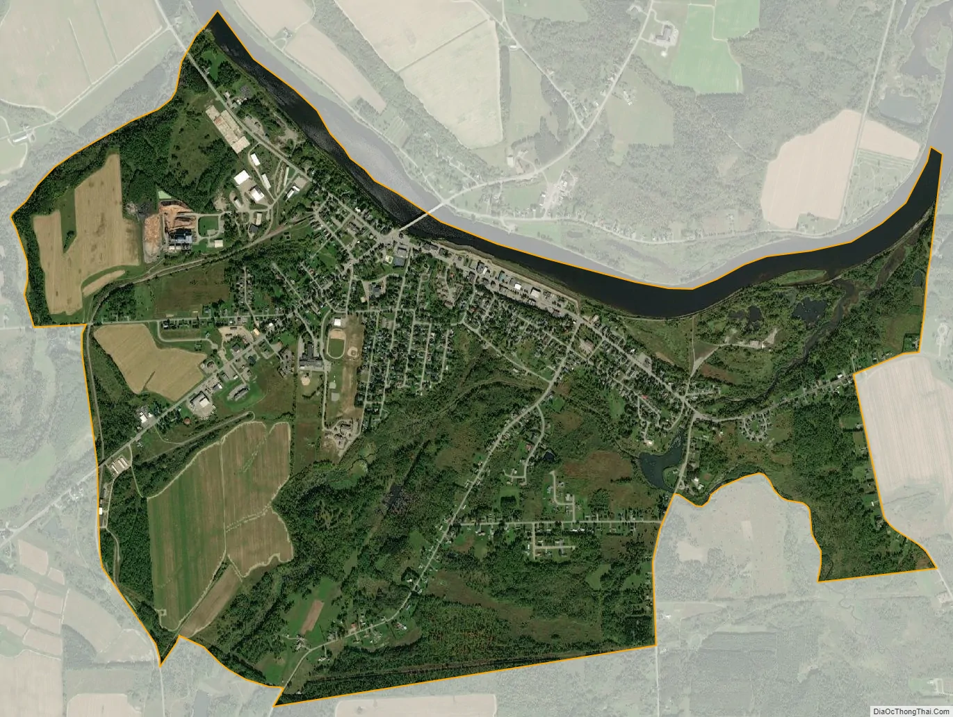
Geography
The Fort Fairfield CDP is located at 46°46′4″N 67°49′56″W / 46.76778°N 67.83222°W / 46.76778; -67.83222 (46.767933, -67.832413), along the Aroostook River near the center of the town of Fort Fairfield. U.S. Route 1A, Maine State Route 161 and Maine State Route 167 intersect at the center of the CDP.
According to the United States Census Bureau, the CDP has a total area of 3.1 square miles (7.9 km), of which 2.9 square miles (7.6 km) is land and 0.12 square miles (0.3 km), or 3.82%, is water.
See also
Map of Maine State and its subdivision: Map of other states:- Alabama
- Alaska
- Arizona
- Arkansas
- California
- Colorado
- Connecticut
- Delaware
- District of Columbia
- Florida
- Georgia
- Hawaii
- Idaho
- Illinois
- Indiana
- Iowa
- Kansas
- Kentucky
- Louisiana
- Maine
- Maryland
- Massachusetts
- Michigan
- Minnesota
- Mississippi
- Missouri
- Montana
- Nebraska
- Nevada
- New Hampshire
- New Jersey
- New Mexico
- New York
- North Carolina
- North Dakota
- Ohio
- Oklahoma
- Oregon
- Pennsylvania
- Rhode Island
- South Carolina
- South Dakota
- Tennessee
- Texas
- Utah
- Vermont
- Virginia
- Washington
- West Virginia
- Wisconsin
- Wyoming