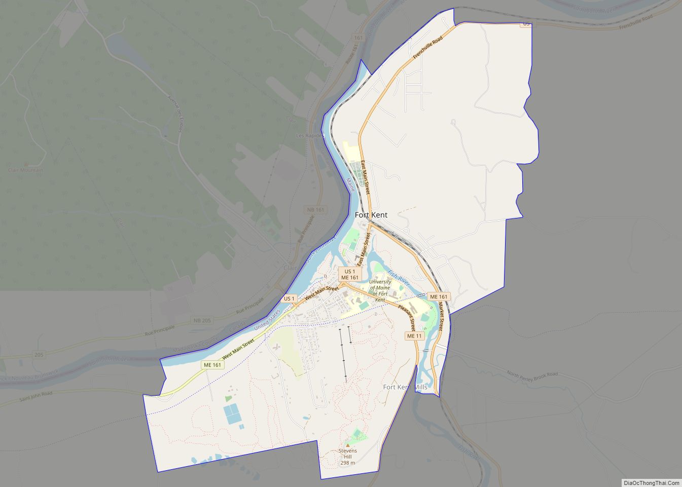
Fort Kent is a census-designated place (CDP) that comprises the main village in the town of Fort Kent in Aroostook County, Maine, United States. In 2010, Fort Kent’s population was 2,488 of 4,097 for the entire town.
| Name: | Fort Kent CDP |
|---|---|
| LSAD Code: | 57 |
| LSAD Description: | CDP (suffix) |
| State: | Maine |
| County: | Aroostook County |
| Elevation: | 561 ft (171 m) |
| Total Area: | 5.62 sq mi (14.55 km²) |
| Land Area: | 5.36 sq mi (13.87 km²) |
| Water Area: | 0.26 sq mi (0.68 km²) |
| Total Population: | 2,413 |
| Population Density: | 450.61/sq mi (173.97/km²) |
| ZIP code: | 04741, 04743 |
| Area code: | 207 |
| FIPS code: | 2325720 |
| GNISfeature ID: | 0566413 |
Online Interactive Map
Click on ![]() to view map in "full screen" mode.
to view map in "full screen" mode.
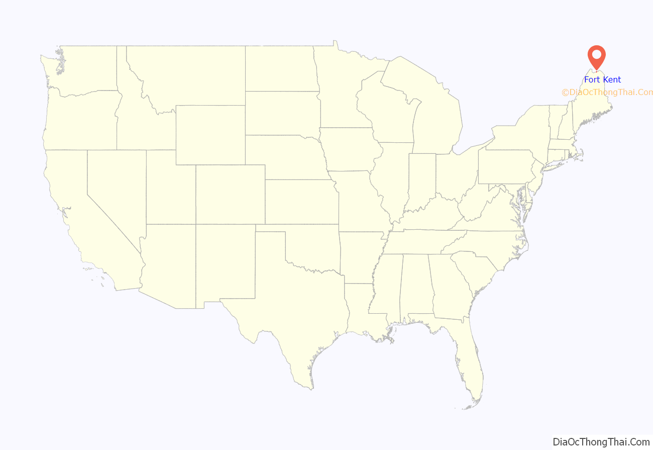
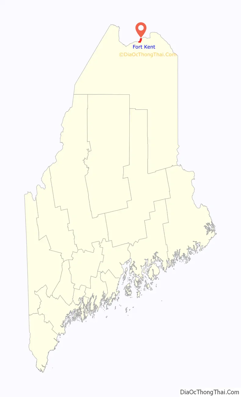
Fort Kent location map. Where is Fort Kent CDP?
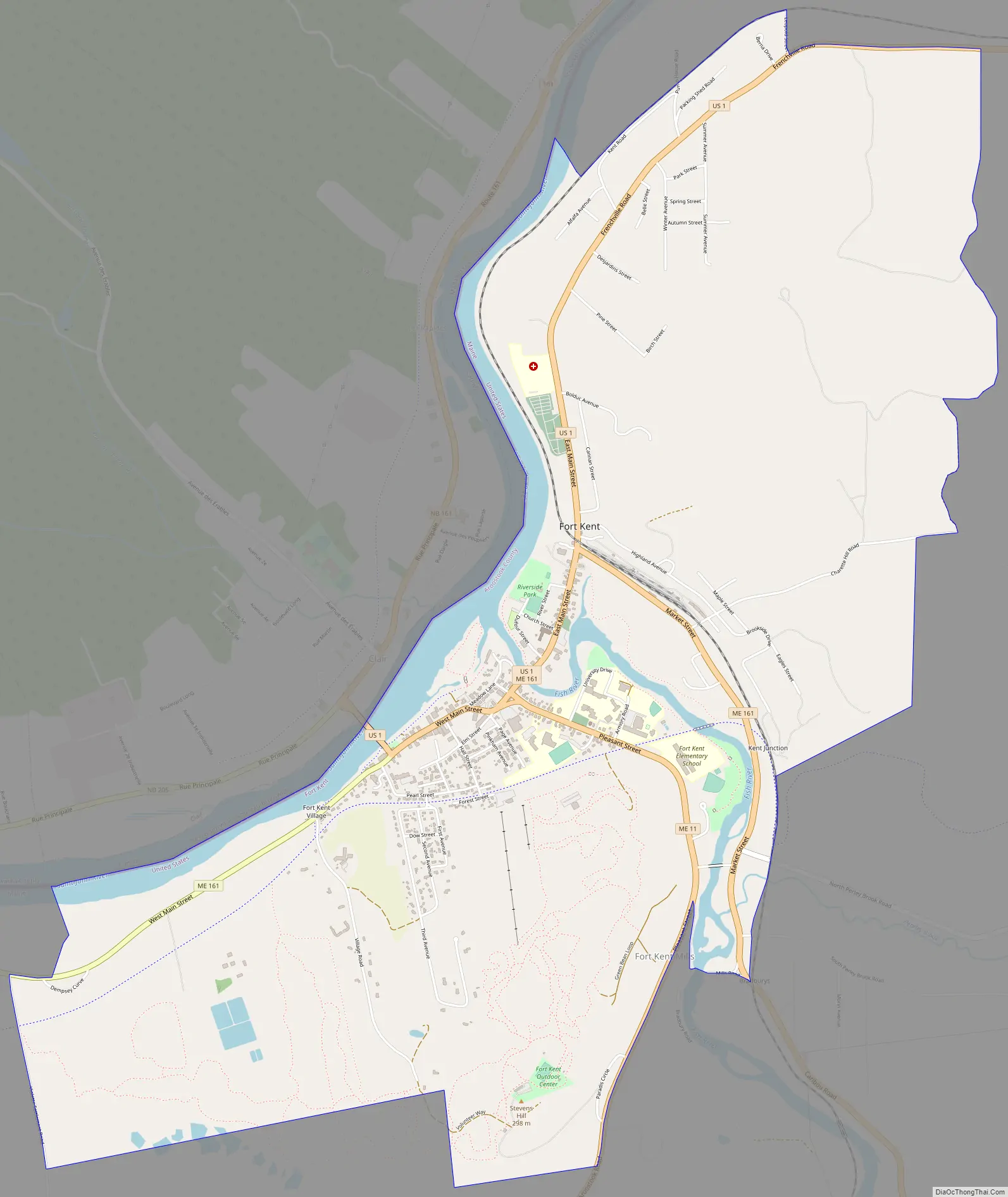
Fort Kent Road Map
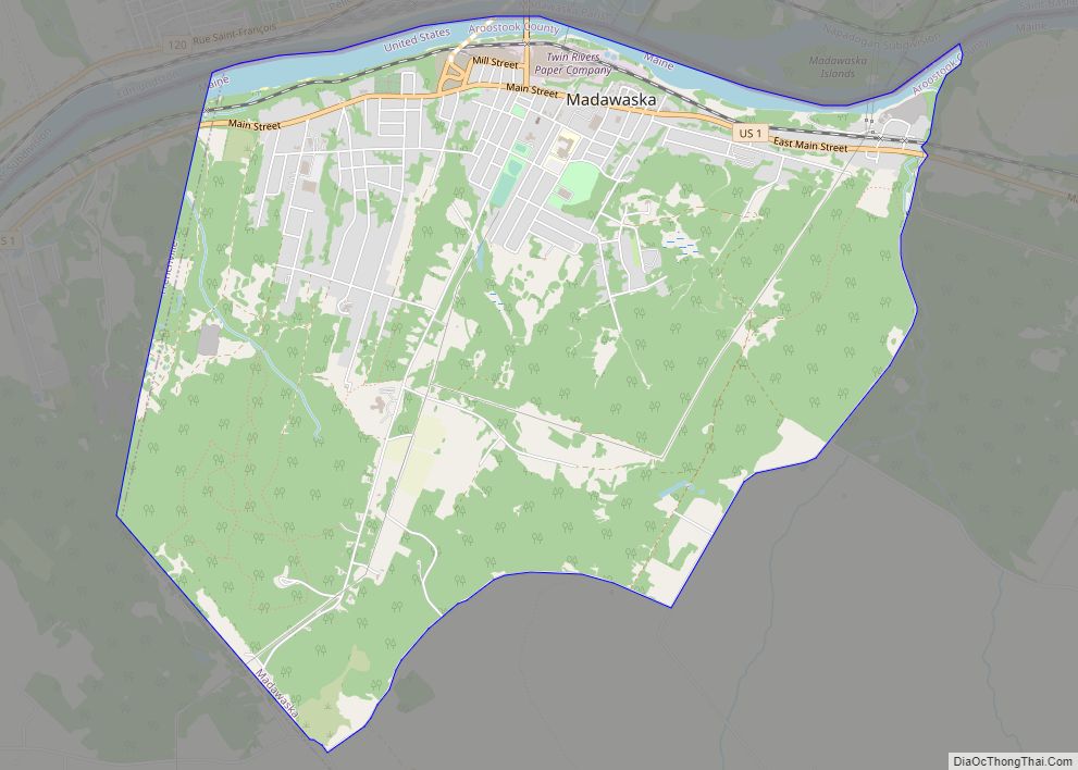
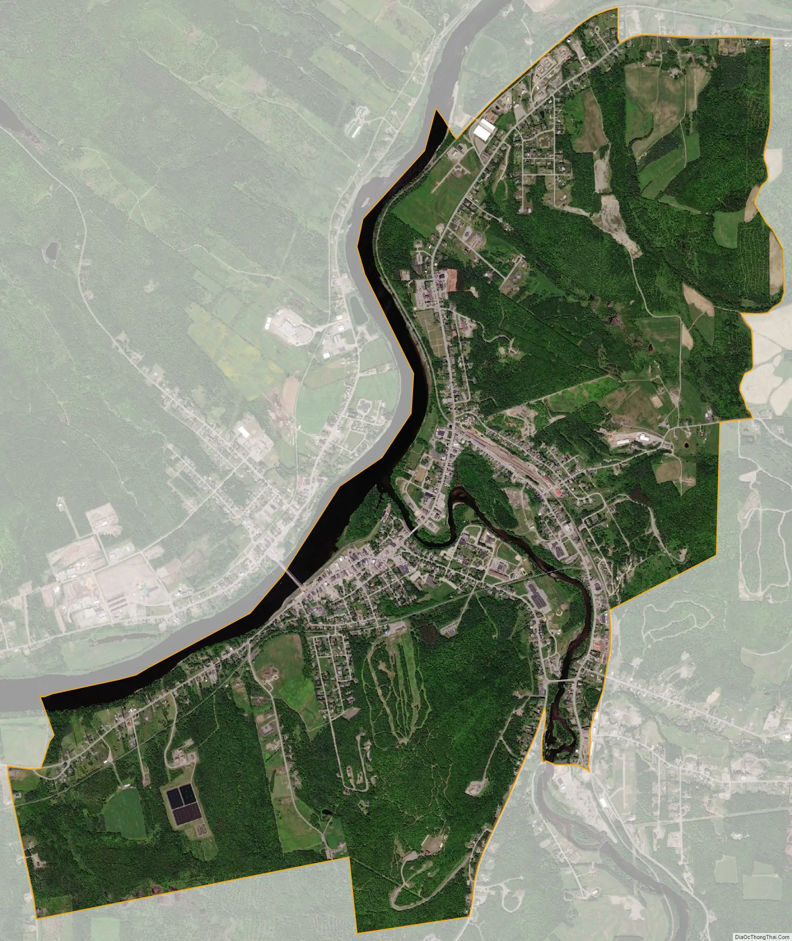
Fort Kent city Satellite Map
Geography
The Fort Kent CDP is located at 47°15′17″N 68°35′7″W / 47.25472°N 68.58528°W / 47.25472; -68.58528 (47.254945, −68.585421), along the Saint John River, which forms the northern border of the town as well as the Canada–United States border. The northern terminus of U.S. Route 1 is near the center of the CDP, at the bridge across the Saint John River into Clair, New Brunswick. Maine State Route 161 and Maine State Route 11 intersect Route 1 within the CDP.
According to the United States Census Bureau, the CDP has a total area of 5.6 square miles (14.5 km), of which 5.4 square miles (13.9 km) is land and 0.23 square miles (0.6 km), or 4.01%, is water. The CDP is located at the confluence of the Fish River with the Saint John River.
See also
Map of Maine State and its subdivision: Map of other states:- Alabama
- Alaska
- Arizona
- Arkansas
- California
- Colorado
- Connecticut
- Delaware
- District of Columbia
- Florida
- Georgia
- Hawaii
- Idaho
- Illinois
- Indiana
- Iowa
- Kansas
- Kentucky
- Louisiana
- Maine
- Maryland
- Massachusetts
- Michigan
- Minnesota
- Mississippi
- Missouri
- Montana
- Nebraska
- Nevada
- New Hampshire
- New Jersey
- New Mexico
- New York
- North Carolina
- North Dakota
- Ohio
- Oklahoma
- Oregon
- Pennsylvania
- Rhode Island
- South Carolina
- South Dakota
- Tennessee
- Texas
- Utah
- Vermont
- Virginia
- Washington
- West Virginia
- Wisconsin
- Wyoming