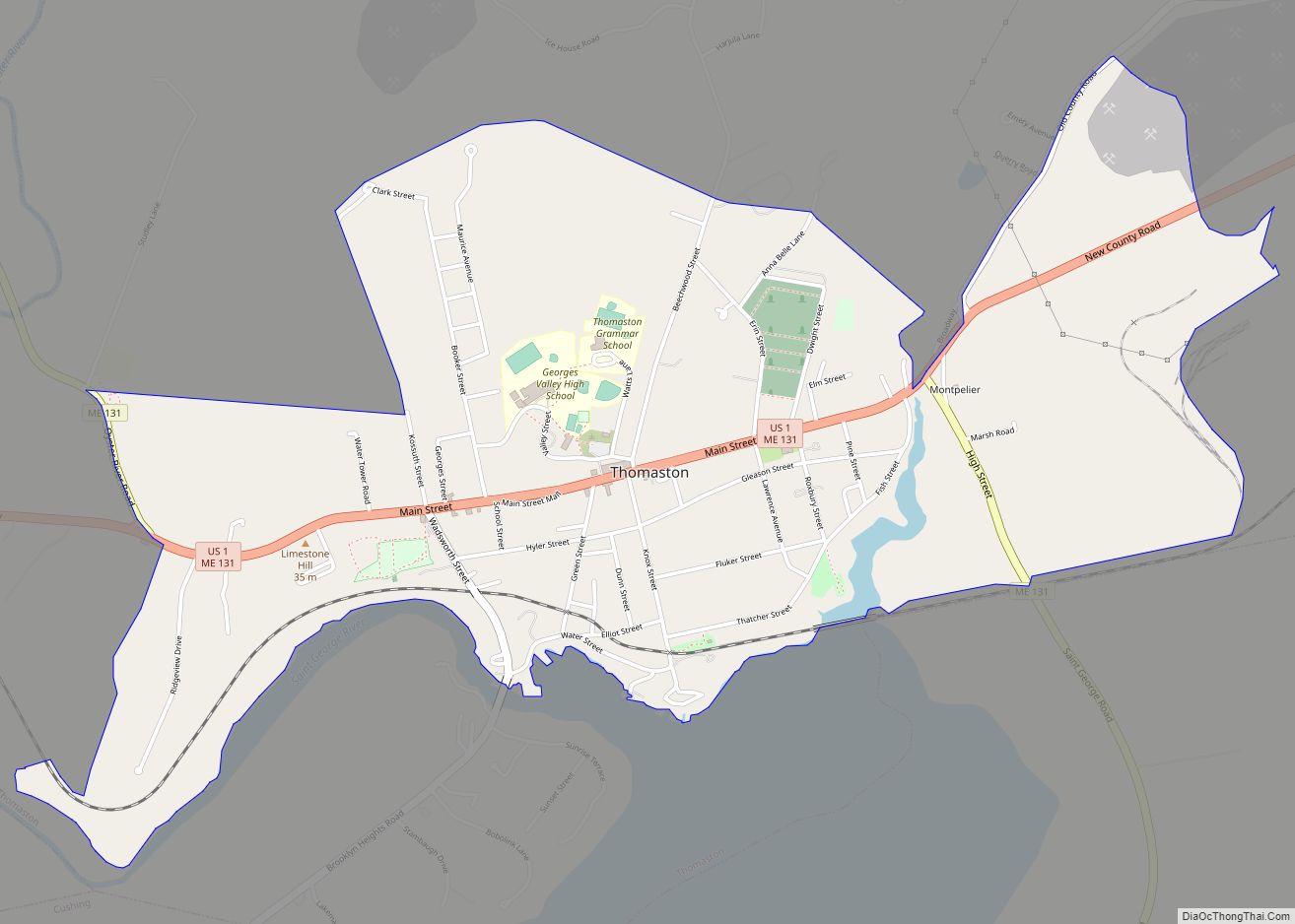
Thomaston is a census-designated place (CDP) comprising the main village in the town of Thomaston in Knox County, Maine, United States. The population was 1,875 at the 2010 census, out of 2,781 in the town of Thomaston as a whole.
| Name: | Thomaston CDP |
|---|---|
| LSAD Code: | 57 |
| LSAD Description: | CDP (suffix) |
| State: | Maine |
| County: | Knox County |
| Elevation: | 118 ft (36 m) |
| Total Area: | 2.16 sq mi (5.60 km²) |
| Land Area: | 2.12 sq mi (5.48 km²) |
| Water Area: | 0.04 sq mi (0.11 km²) |
| Total Population: | 1,836 |
| Population Density: | 867.67/sq mi (335.00/km²) |
| ZIP code: | 04861 |
| Area code: | 207 |
| FIPS code: | 2376330 |
| GNISfeature ID: | 0576993 |
Online Interactive Map
Click on ![]() to view map in "full screen" mode.
to view map in "full screen" mode.
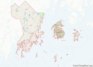
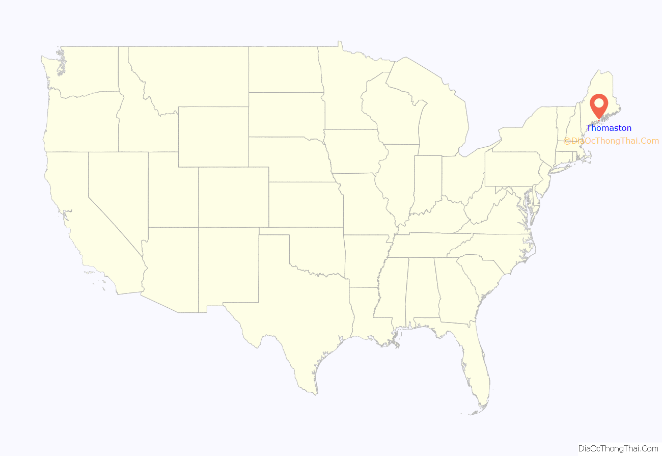
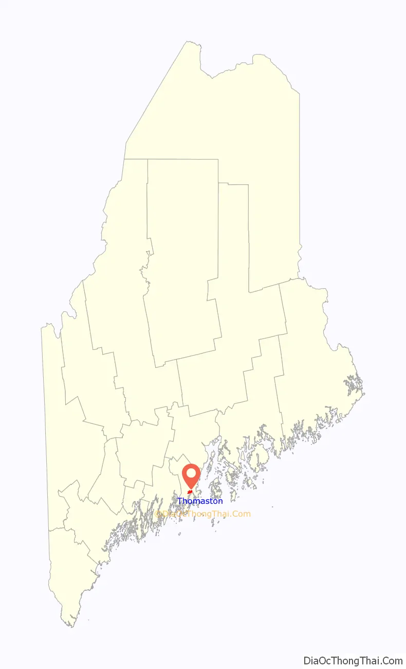
Thomaston location map. Where is Thomaston CDP?
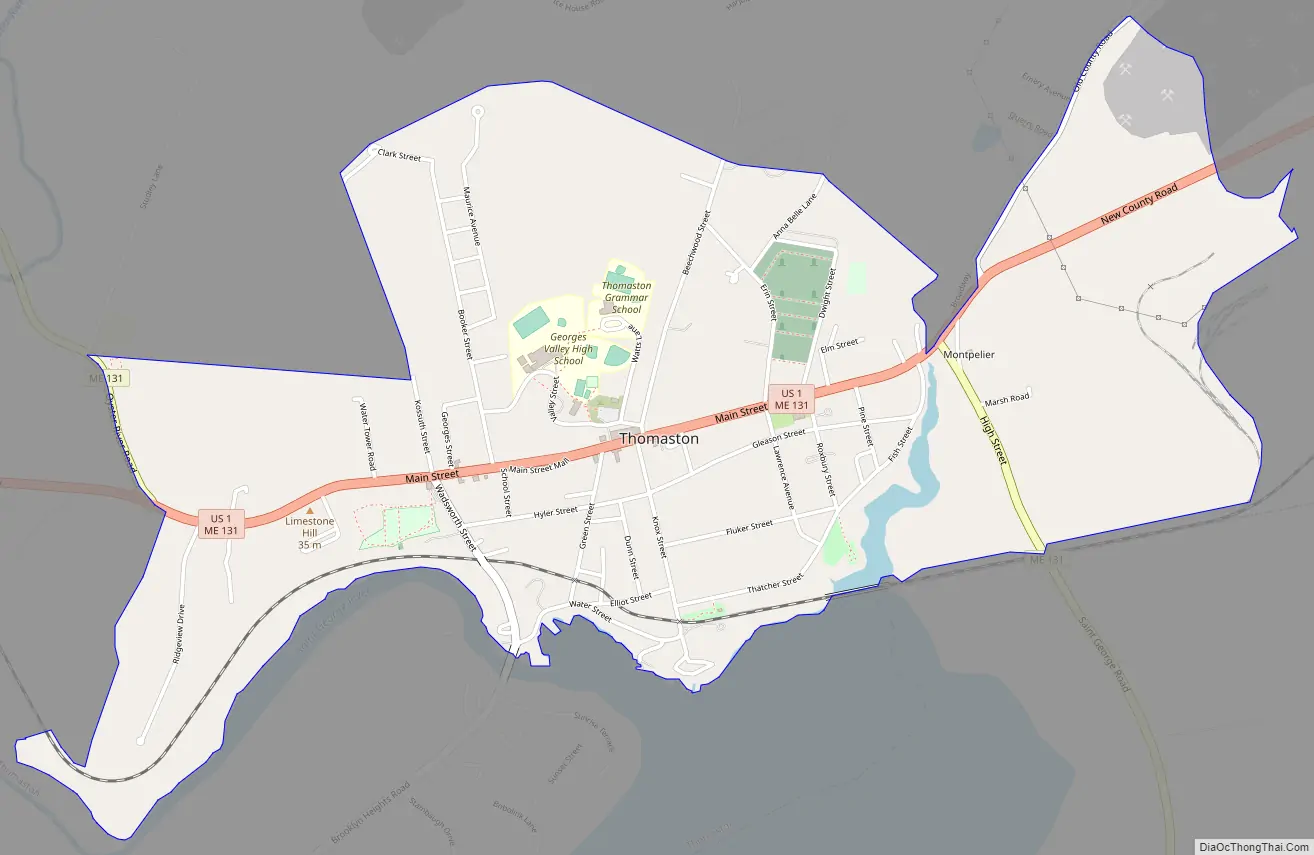
Thomaston Road Map
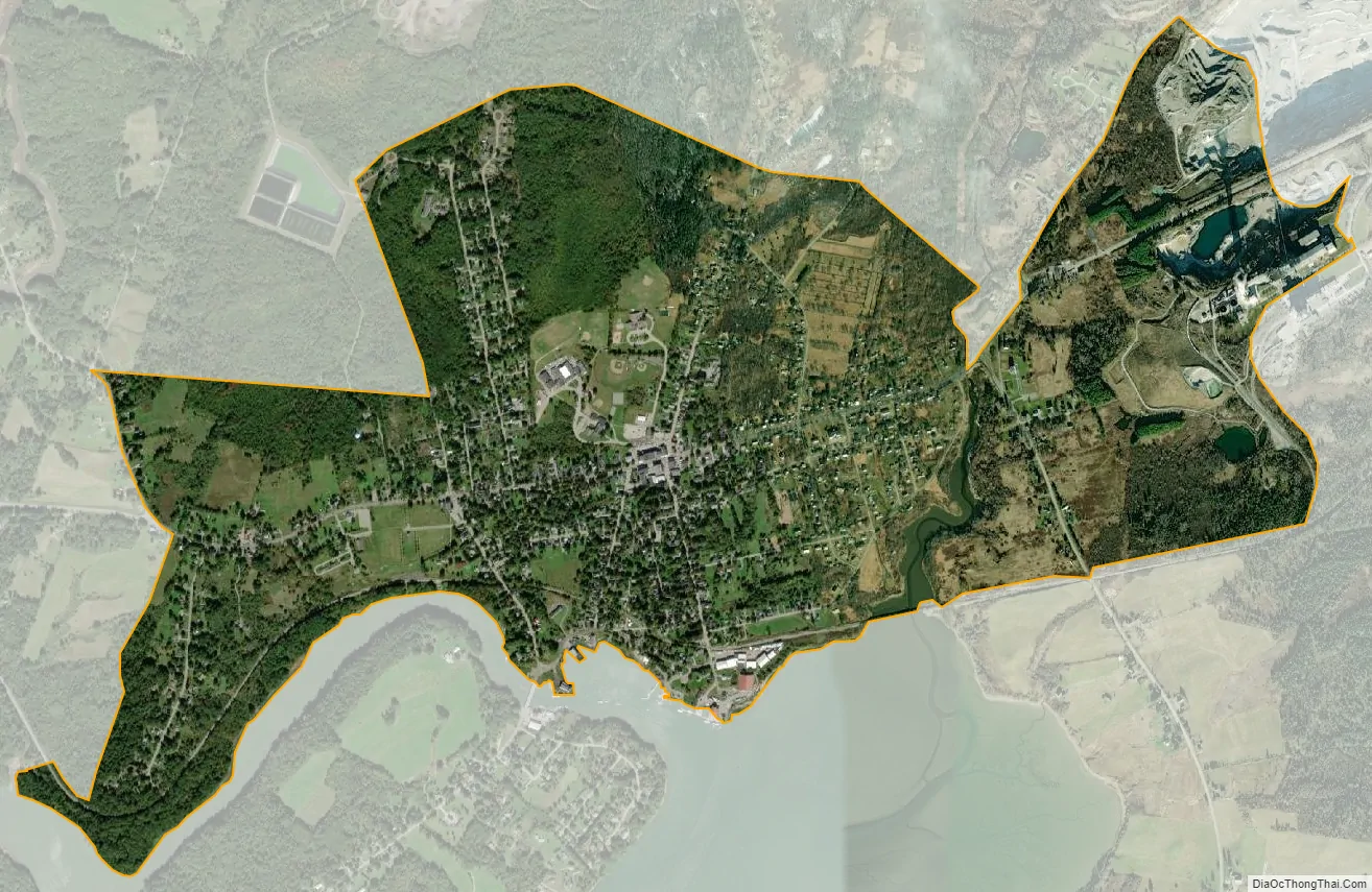
Thomaston city Satellite Map
Geography
The Thomaston CDP is located at 44°4′42″N 69°10′52″W / 44.07833°N 69.18111°W / 44.07833; -69.18111 (44.078388, −69.18133) in the southern part of the town of Thomaston, on the north side of the Saint George River where it reaches tidewater. U.S. Route 1 is Main Street through the village, leading northeast (northbound) 4 miles (6 km) to Rockland and northwest (southbound) 5 miles (8 km) to Warren. Maine State Route 131 follows Route 1 along Main Street but leads northwest up Oyster River Road to the eastern part of Warren and south out High Street five miles to St. George.
According to the United States Census Bureau, the Thomaston CDP has a total area of 2.2 square miles (5.6 km), of which 2.1 square miles (5.5 km) are land and 0.04 square miles (0.1 km), or 1.98%, are water.
See also
Map of Maine State and its subdivision: Map of other states:- Alabama
- Alaska
- Arizona
- Arkansas
- California
- Colorado
- Connecticut
- Delaware
- District of Columbia
- Florida
- Georgia
- Hawaii
- Idaho
- Illinois
- Indiana
- Iowa
- Kansas
- Kentucky
- Louisiana
- Maine
- Maryland
- Massachusetts
- Michigan
- Minnesota
- Mississippi
- Missouri
- Montana
- Nebraska
- Nevada
- New Hampshire
- New Jersey
- New Mexico
- New York
- North Carolina
- North Dakota
- Ohio
- Oklahoma
- Oregon
- Pennsylvania
- Rhode Island
- South Carolina
- South Dakota
- Tennessee
- Texas
- Utah
- Vermont
- Virginia
- Washington
- West Virginia
- Wisconsin
- Wyoming