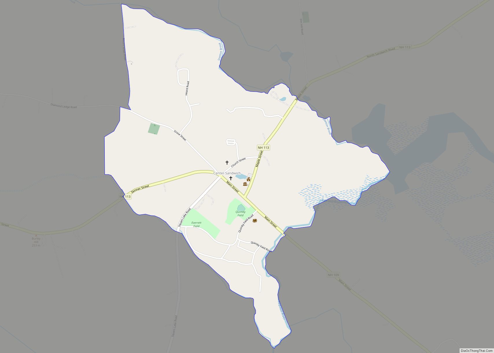
Center Sandwich is a census-designated place in the town of Sandwich in Carroll County, New Hampshire, in the United States. It is the primary settlement in the town and had a population of 156 at the 2020 census. The village center and surrounding area are listed on the National Register of Historic Places as the Center Sandwich Historic District.
The village is home of the Sandwich Fair, held annually in early October.
| Name: | Center Sandwich CDP |
|---|---|
| LSAD Code: | 57 |
| LSAD Description: | CDP (suffix) |
| State: | New Hampshire |
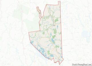
| County: | Carroll County |
| Elevation: | 654 ft (199 m) |
| Total Area: | 0.59 sq mi (1.53 km²) |
| Land Area: | 0.59 sq mi (1.53 km²) |
| Water Area: | 0.00 sq mi (0.00 km²) |
| Total Population: | 156 |
| Population Density: | 264.41/sq mi (102.01/km²) |
| ZIP code: | 03227 |
| Area code: | 603 |
| FIPS code: | 3310900 |
| GNISfeature ID: | 0871655 |
Online Interactive Map
Click on ![]() to view map in "full screen" mode.
to view map in "full screen" mode.
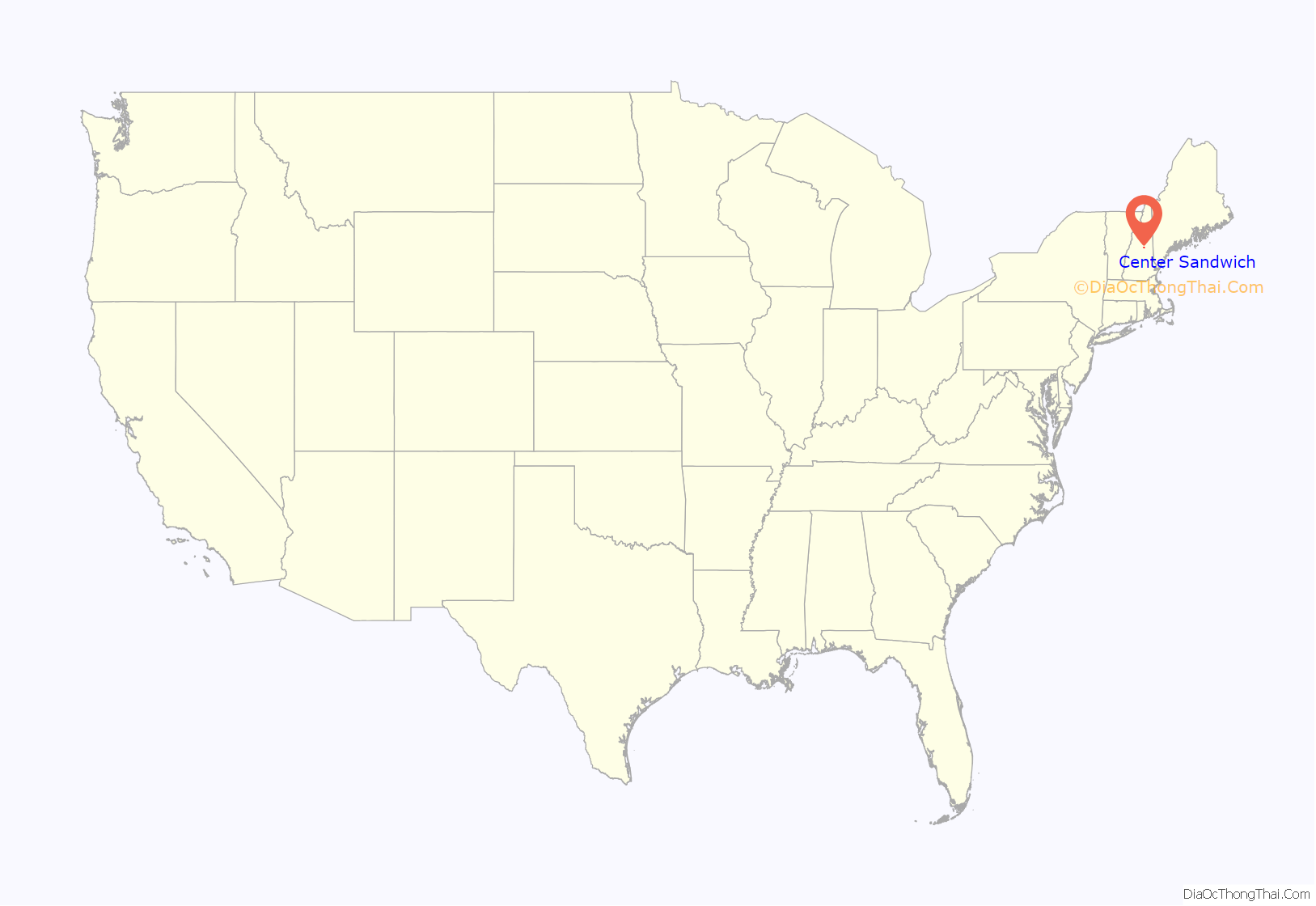
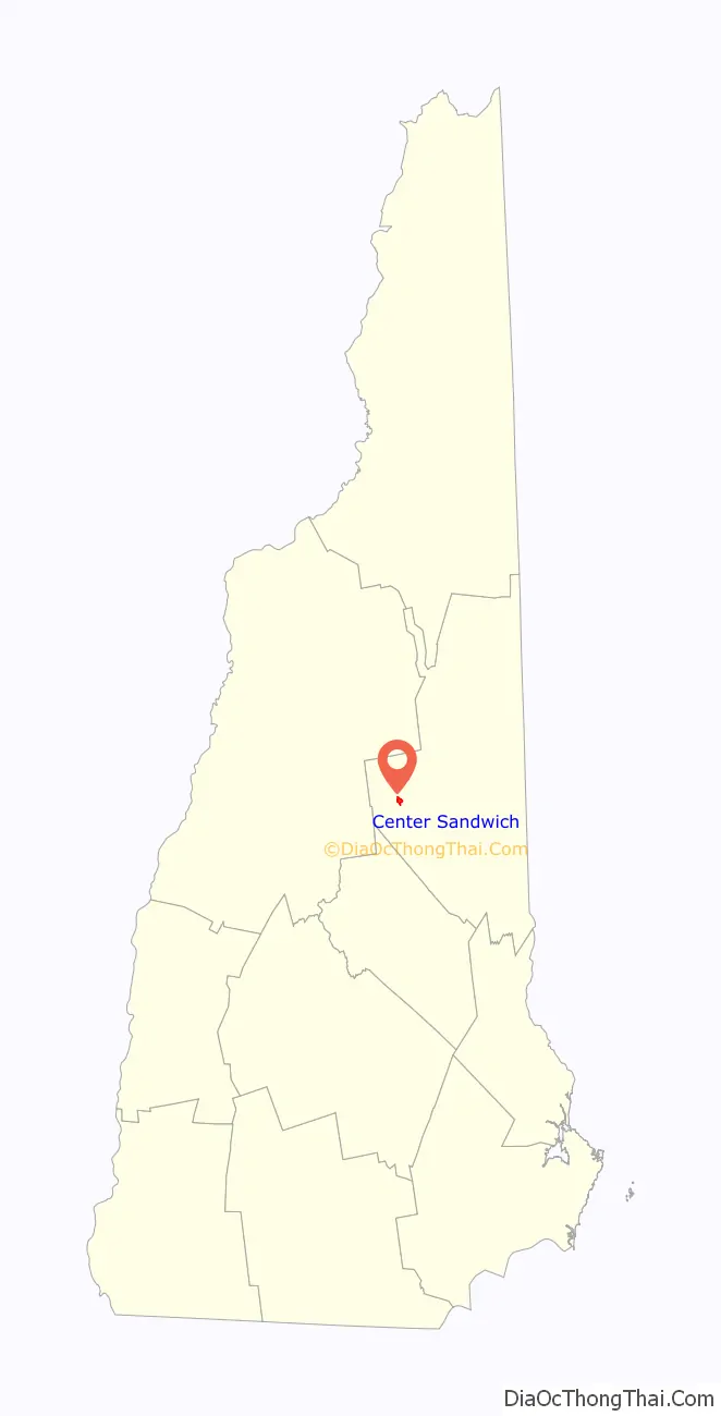
Center Sandwich location map. Where is Center Sandwich CDP?
History
Center Sandwich began as the site of an early gristmill, erected in 1768 by Daniel Beede, which was followed in 1780 by a sawmill, both on the banks of the Red Hill River. Roads were then built to the area, and the village and surrounding rural parts of town grew from about 900 people in 1790 to over 2,000 in 1820. Most of the village’s development and growth occurred in the years before the Civil War, resulting in residential and civic buildings that are largely vernacular Federal and Greek Revival in style. Because no railroads were built to serve the area, Center Sandwich declined in importance after the Civil War. Only a small number of changes occurred in the village in the 20th century. The oldest surviving building in the village is the 1792 Baptist church, originally Federal in style, but later given Greek Revival features.
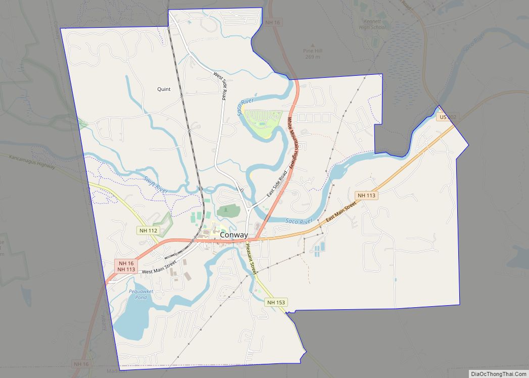
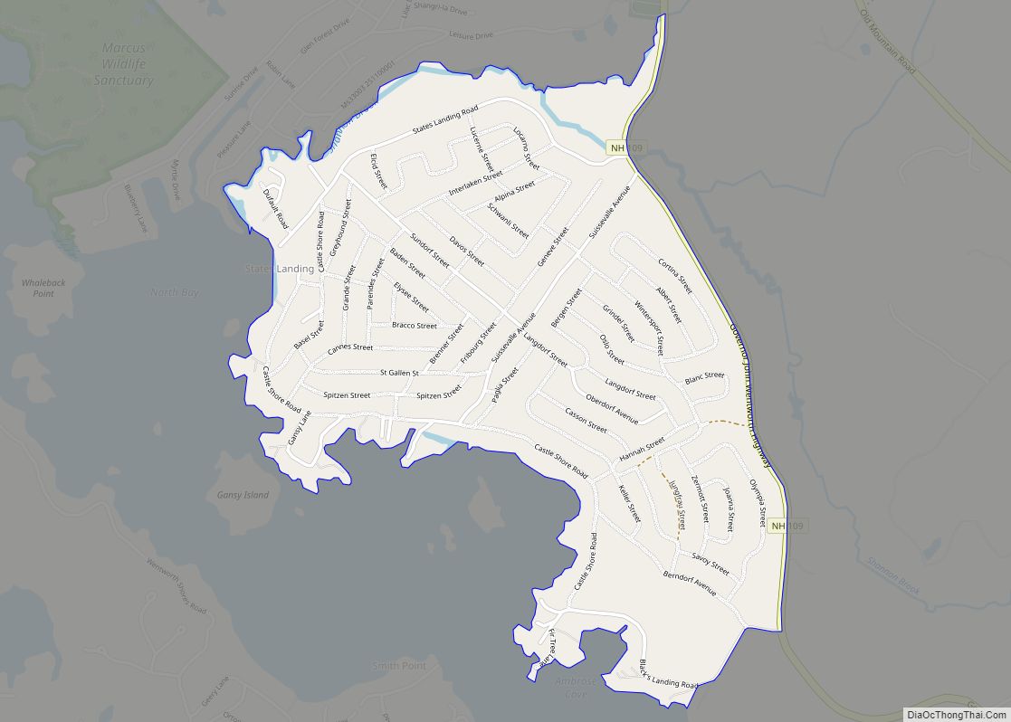
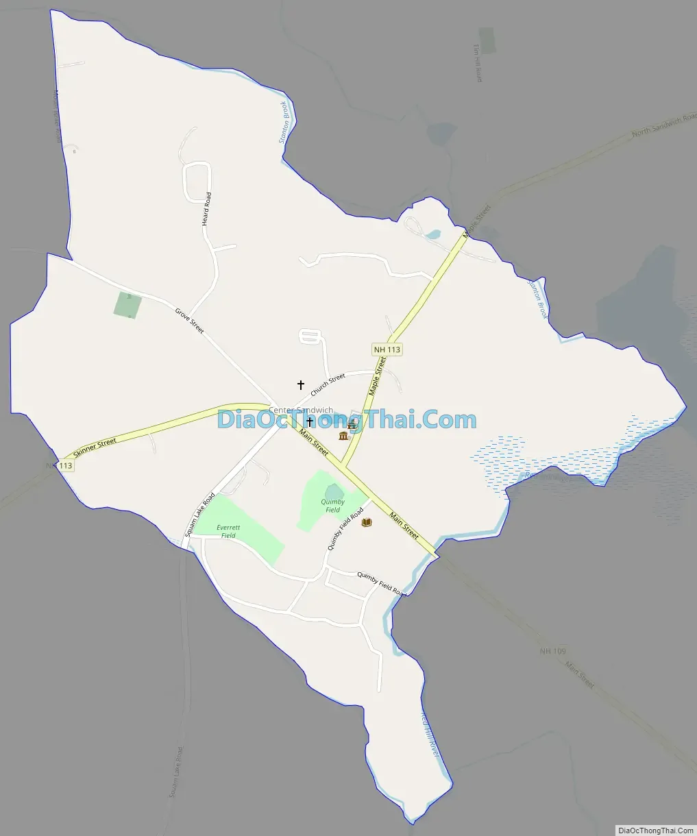
Center Sandwich Road Map
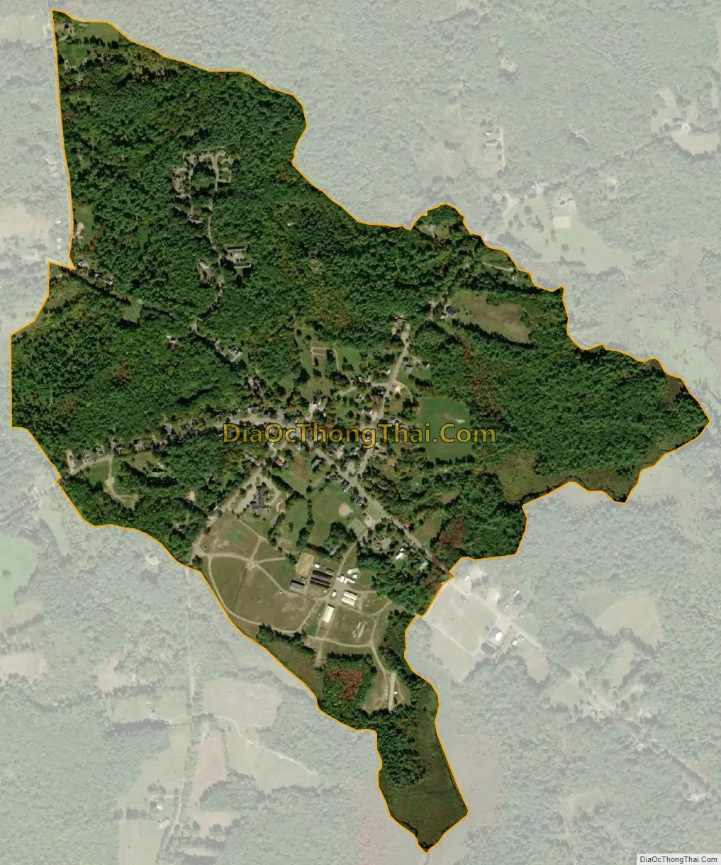
Center Sandwich city Satellite Map
Geography
The CDP is in the south-central part of the town of Sandwich, at the intersection of New Hampshire Route 113 and Route 109. Route 113 leads southwest along the north side of Squam Lake 11 miles (18 km) to Holderness and leads east 13 miles (21 km) to Tamworth. Route 109 begins in Center Sandwich and travels southeast 4.5 miles (7.2 km) to Moultonborough and 22 miles (35 km) to Wolfeboro.
According to the U.S. Census Bureau, the Center Sandwich CDP has a total area of 0.58 square miles (1.5 km), of which 1,473 square metres (0.364 acres), or 0.1%, are water. The eastern edge of the CDP follows the Red Hill River, a south-flowing tributary of Lake Winnipesaukee.
See also
Map of New Hampshire State and its subdivision: Map of other states:- Alabama
- Alaska
- Arizona
- Arkansas
- California
- Colorado
- Connecticut
- Delaware
- District of Columbia
- Florida
- Georgia
- Hawaii
- Idaho
- Illinois
- Indiana
- Iowa
- Kansas
- Kentucky
- Louisiana
- Maine
- Maryland
- Massachusetts
- Michigan
- Minnesota
- Mississippi
- Missouri
- Montana
- Nebraska
- Nevada
- New Hampshire
- New Jersey
- New Mexico
- New York
- North Carolina
- North Dakota
- Ohio
- Oklahoma
- Oregon
- Pennsylvania
- Rhode Island
- South Carolina
- South Dakota
- Tennessee
- Texas
- Utah
- Vermont
- Virginia
- Washington
- West Virginia
- Wisconsin
- Wyoming