Colebrook is a census-designated place (CDP) and the main village in the town of Colebrook, Coös County, New Hampshire, United States. The population of the CDP was 1,201 at the 2020 census, out of 2,084 in the entire town. The CDP population had dropped from 1,394 at the 2010 census.
| Name: | Colebrook CDP |
|---|---|
| LSAD Code: | 57 |
| LSAD Description: | CDP (suffix) |
| State: | New Hampshire |
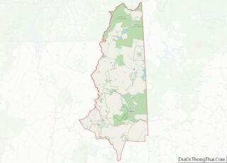
| County: | Coos County |
| Elevation: | 1,030 ft (310 m) |
| Total Area: | 2.69 sq mi (6.97 km²) |
| Land Area: | 2.62 sq mi (6.78 km²) |
| Water Area: | 0.07 sq mi (0.19 km²) |
| Total Population: | 1,201 |
| Population Density: | 458.75/sq mi (177.15/km²) |
| ZIP code: | 03576 |
| Area code: | 603 |
| FIPS code: | 3313700 |
| GNISfeature ID: | 2629721 |
Online Interactive Map
Click on ![]() to view map in "full screen" mode.
to view map in "full screen" mode.
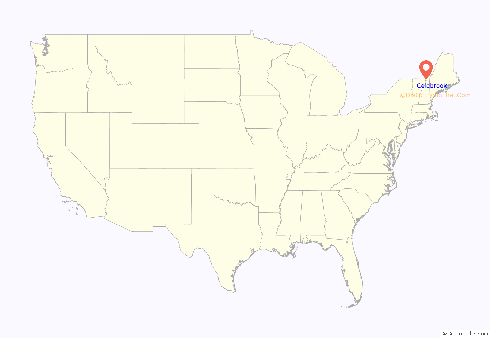
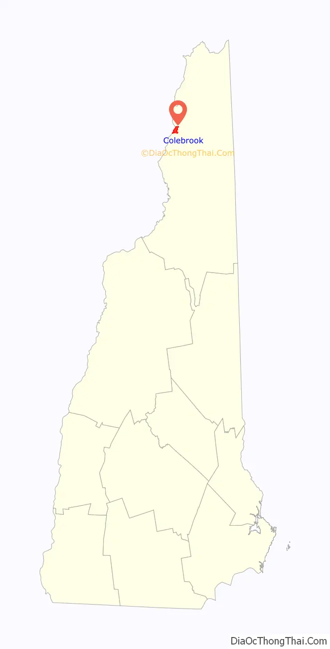
Colebrook location map. Where is Colebrook CDP?
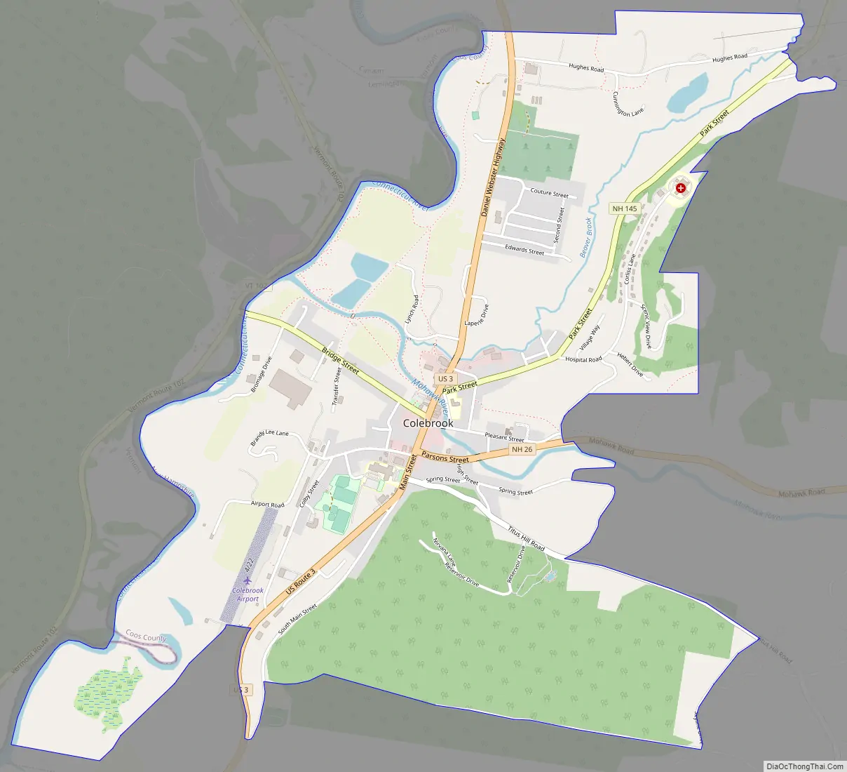
Colebrook Road Map
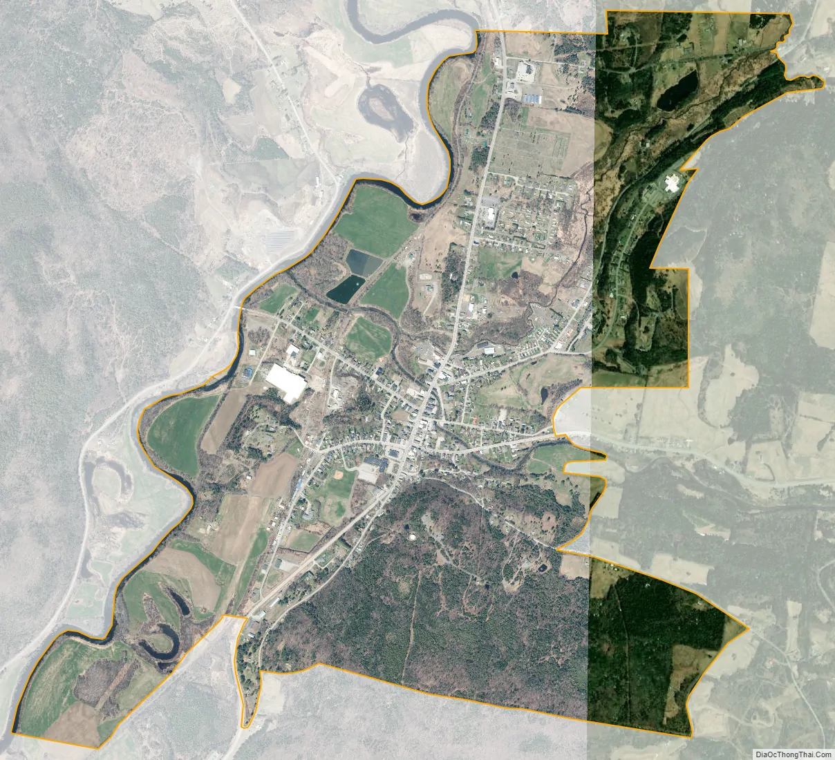
Colebrook city Satellite Map
Geography
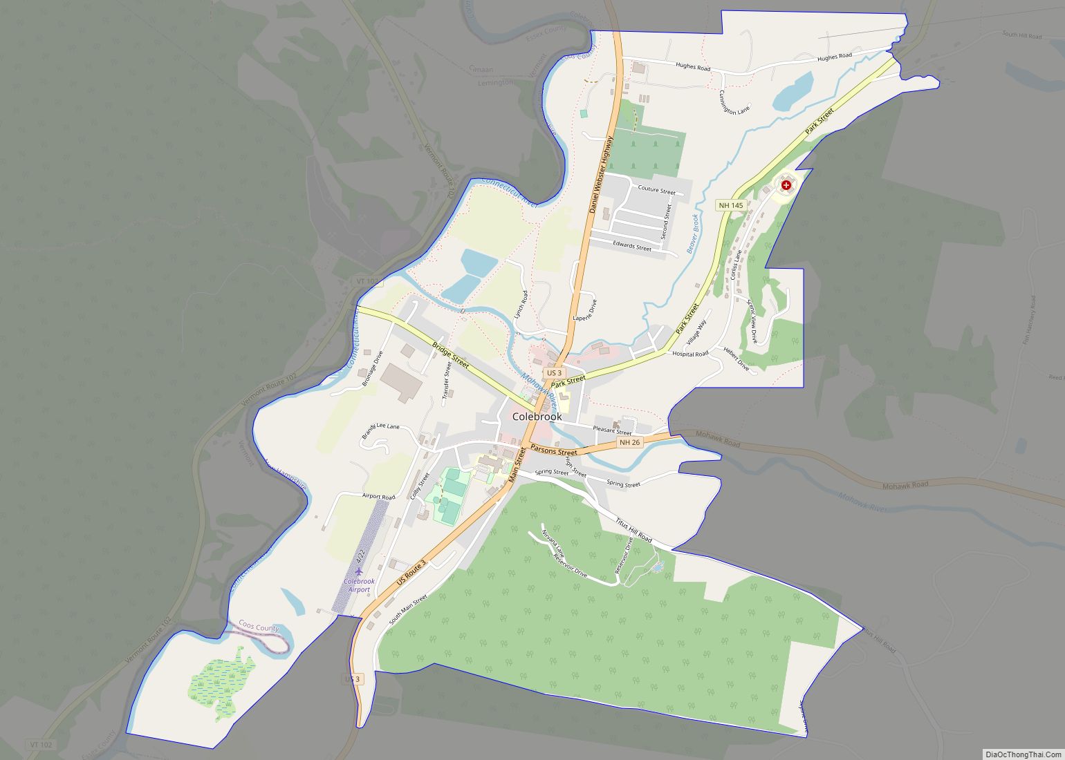
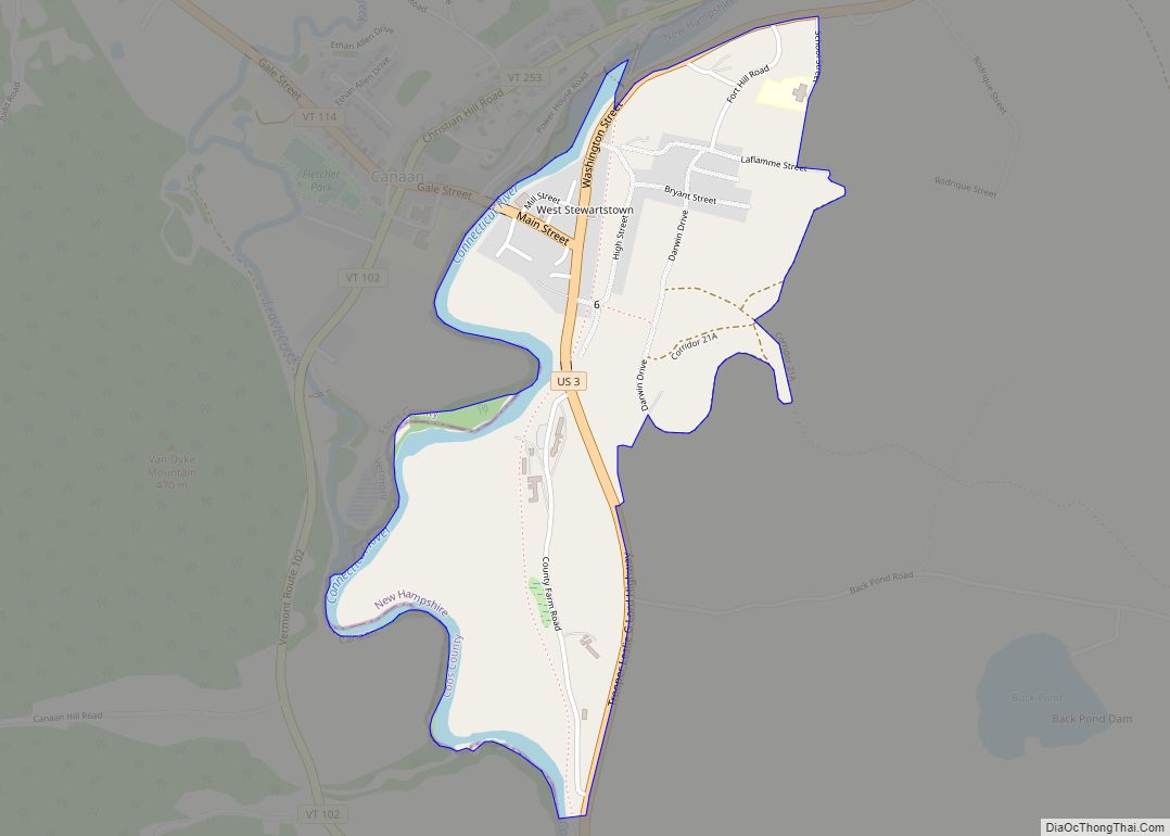
The CDP is in the western part of the town of Colebrook, along the east side of the Connecticut River where it is joined by the Mohawk River. U.S. Route 3 is Colebrook’s Main Street, leading north 8 miles (13 km) to West Stewartstown and south 26 miles (42 km) to Groveton. New Hampshire Route 26 (Parsons Street) leads east from Route 3 10 miles (16 km) to Dixville Notch and west across the Connecticut River to Vermont Route 102. New Hampshire Route 145 (Park Street) leaves US 3 just north of NH 26, and leads northeast 13 miles (21 km) to Pittsburg.
The Colebrook CDP is bordered to the west by the Connecticut River, which is the Vermont border. The CDP extends to the north to include Hughes Road, and extends to the east to include Corliss Lane and the housing developments accessed from it. Farther south, the CDP border follows Titus Hill Road and Skyline Drive, before turning west to Laflamme Drive and South Main Street.
According to the U.S. Census Bureau, the Colebrook CDP has a total area of 2.7 square miles (7.0 km), of which 2.6 square miles (6.8 km) are land and 0.1 square miles (0.2 km), or 2.88%, are water.
See also
Map of New Hampshire State and its subdivision: Map of other states:- Alabama
- Alaska
- Arizona
- Arkansas
- California
- Colorado
- Connecticut
- Delaware
- District of Columbia
- Florida
- Georgia
- Hawaii
- Idaho
- Illinois
- Indiana
- Iowa
- Kansas
- Kentucky
- Louisiana
- Maine
- Maryland
- Massachusetts
- Michigan
- Minnesota
- Mississippi
- Missouri
- Montana
- Nebraska
- Nevada
- New Hampshire
- New Jersey
- New Mexico
- New York
- North Carolina
- North Dakota
- Ohio
- Oklahoma
- Oregon
- Pennsylvania
- Rhode Island
- South Carolina
- South Dakota
- Tennessee
- Texas
- Utah
- Vermont
- Virginia
- Washington
- West Virginia
- Wisconsin
- Wyoming