Farmington is a census-designated place (CDP) and the main village in the town of Farmington, Strafford County, New Hampshire, United States. The population of the CDP was 3,824 at the 2020 census, out of 6,722 in the entire town.
| Name: | Farmington CDP |
|---|---|
| LSAD Code: | 57 |
| LSAD Description: | CDP (suffix) |
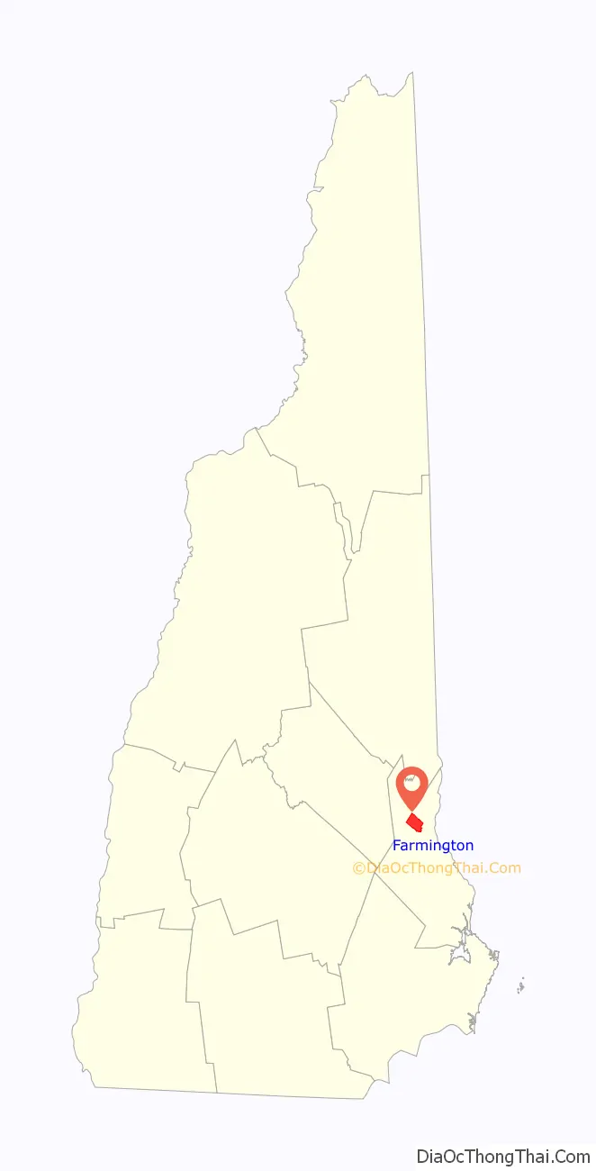
| State: | New Hampshire |
| County: | Strafford County |
| Elevation: | 285 ft (87 m) |
| Total Area: | 6.26 sq mi (16.21 km²) |
| Land Area: | 6.26 sq mi (16.21 km²) |
| Water Area: | 0.00 sq mi (0.00 km²) |
| Total Population: | 3,824 |
| Population Density: | 611.16/sq mi (235.97/km²) |
| ZIP code: | 03835 |
| Area code: | 603 |
| FIPS code: | 3325940 |
| GNISfeature ID: | 2378064 |
Online Interactive Map
Click on ![]() to view map in "full screen" mode.
to view map in "full screen" mode.
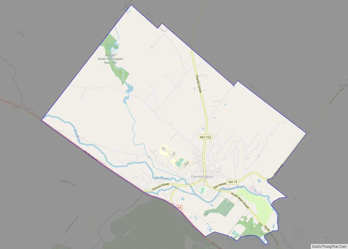
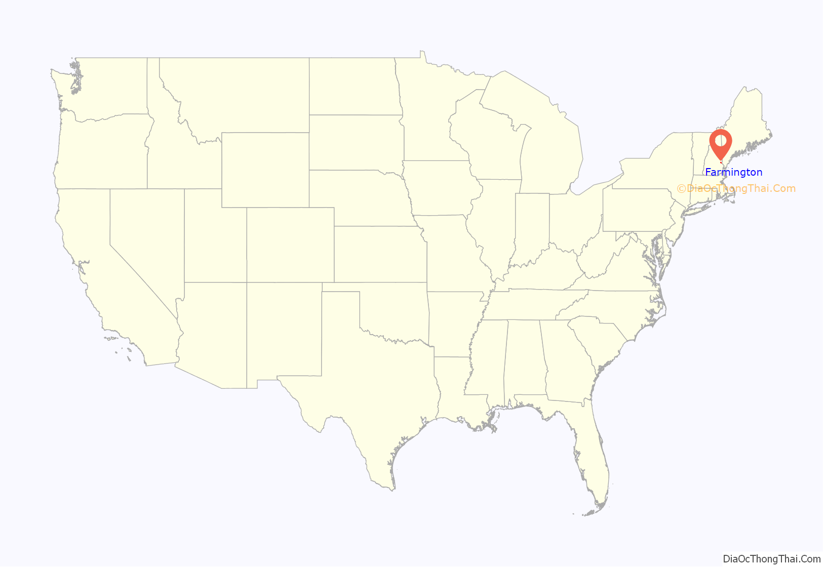
Farmington location map. Where is Farmington CDP?
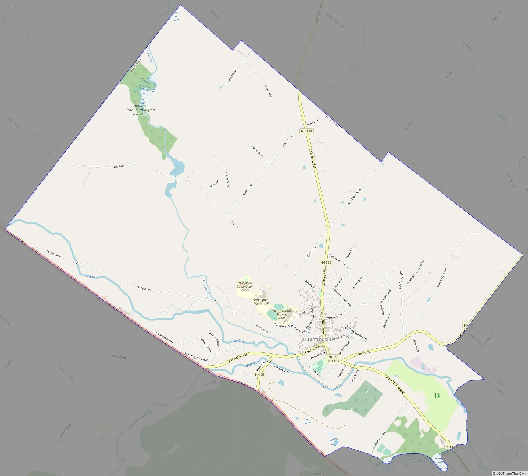
Farmington Road Map
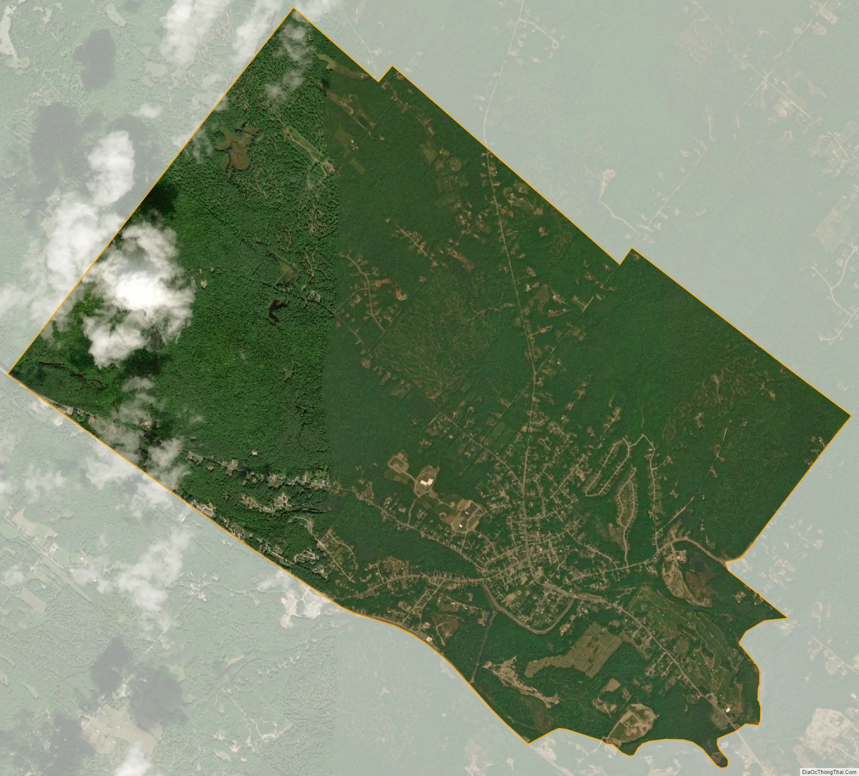
Farmington city Satellite Map
Geography
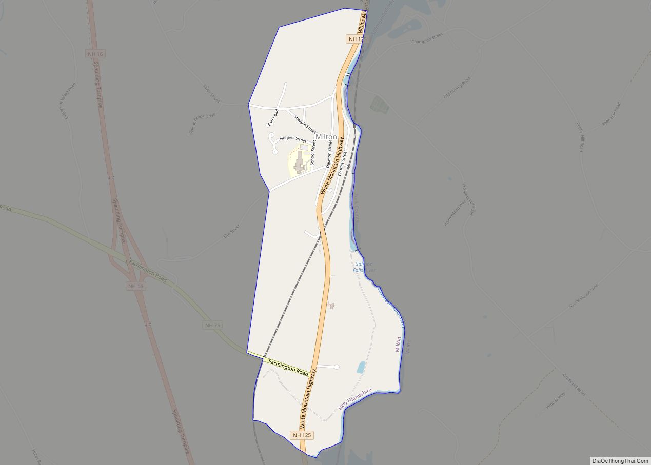
The CDP is in the northern part of the town of Farmington, in the valley of the Cocheco River and surrounding rural land. It is bordered to the northeast by the town of Milton, to the north by Middleton, and to the northwest by New Durham. New Hampshire Route 11 forms the southwest border of the CDP, and Pokamoonshine Brook forms the southern border, while the Cocheco River forms part of the eastern border, along with Chestnut Hill Road and New Hampshire Route 75.
New Hampshire Route 11 leads southeast 7 miles (11 km) to Rochester and northwest 9 miles (14 km) to Alton. Route 75 passes through the center of Farmington as Central Street and Elm Street, leading northeast 5 miles (8 km) to Milton. New Hampshire Route 153 is Farmington’s Main Street, leading north 8 miles (13 km) to Union.
According to the U.S. Census Bureau, the Farmington CDP has a total area of 6.3 square miles (16.2 km), all of it recorded as land. The Cocheco River passes through the western and southern parts of the CDP, flowing southeast to Rochester and Dover.
See also
Map of New Hampshire State and its subdivision: Map of other states:- Alabama
- Alaska
- Arizona
- Arkansas
- California
- Colorado
- Connecticut
- Delaware
- District of Columbia
- Florida
- Georgia
- Hawaii
- Idaho
- Illinois
- Indiana
- Iowa
- Kansas
- Kentucky
- Louisiana
- Maine
- Maryland
- Massachusetts
- Michigan
- Minnesota
- Mississippi
- Missouri
- Montana
- Nebraska
- Nevada
- New Hampshire
- New Jersey
- New Mexico
- New York
- North Carolina
- North Dakota
- Ohio
- Oklahoma
- Oregon
- Pennsylvania
- Rhode Island
- South Carolina
- South Dakota
- Tennessee
- Texas
- Utah
- Vermont
- Virginia
- Washington
- West Virginia
- Wisconsin
- Wyoming