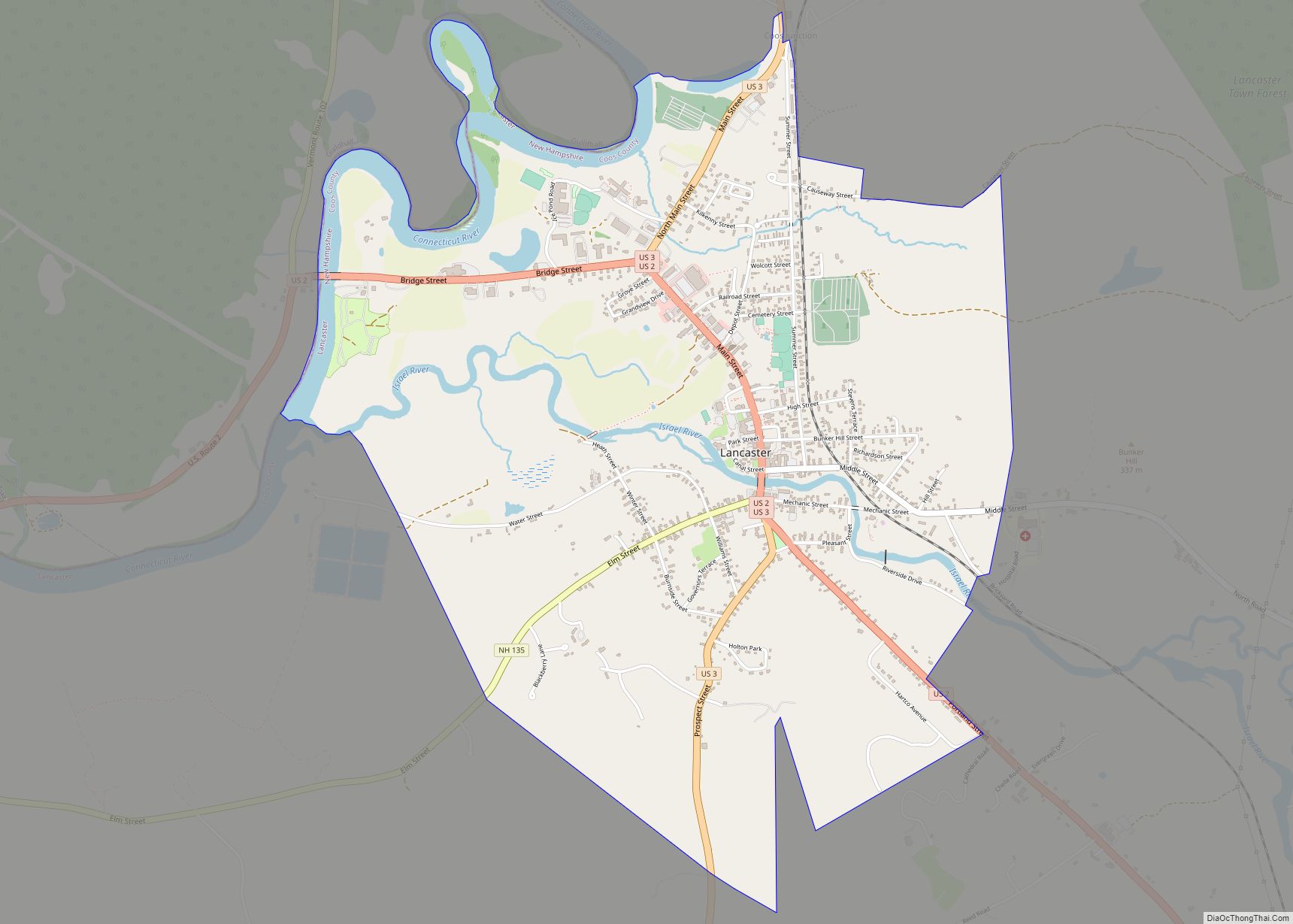
Lancaster is a census-designated place (CDP) and the main village in the town of Lancaster in Coos County, New Hampshire, United States. The population of the CDP was 1,941 at the 2020 census, out of 3,218 in the entire town of Lancaster.
| Name: | Lancaster CDP |
|---|---|
| LSAD Code: | 57 |
| LSAD Description: | CDP (suffix) |
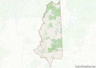
| State: | New Hampshire |
| County: | Coos County |
| Elevation: | 866 ft (264 m) |
| Total Area: | 3.17 sq mi (8.21 km²) |
| Land Area: | 2.98 sq mi (7.71 km²) |
| Water Area: | 0.19 sq mi (0.50 km²) |
| Total Population: | 1,941 |
| Population Density: | 652.22/sq mi (251.85/km²) |
| ZIP code: | 03584 |
| Area code: | 603 |
| FIPS code: | 3340340 |
| GNISfeature ID: | 2378076 |
Online Interactive Map
Click on ![]() to view map in "full screen" mode.
to view map in "full screen" mode.
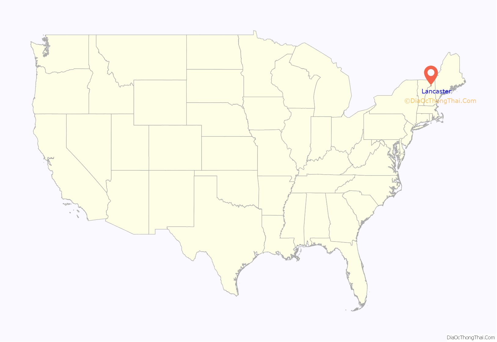
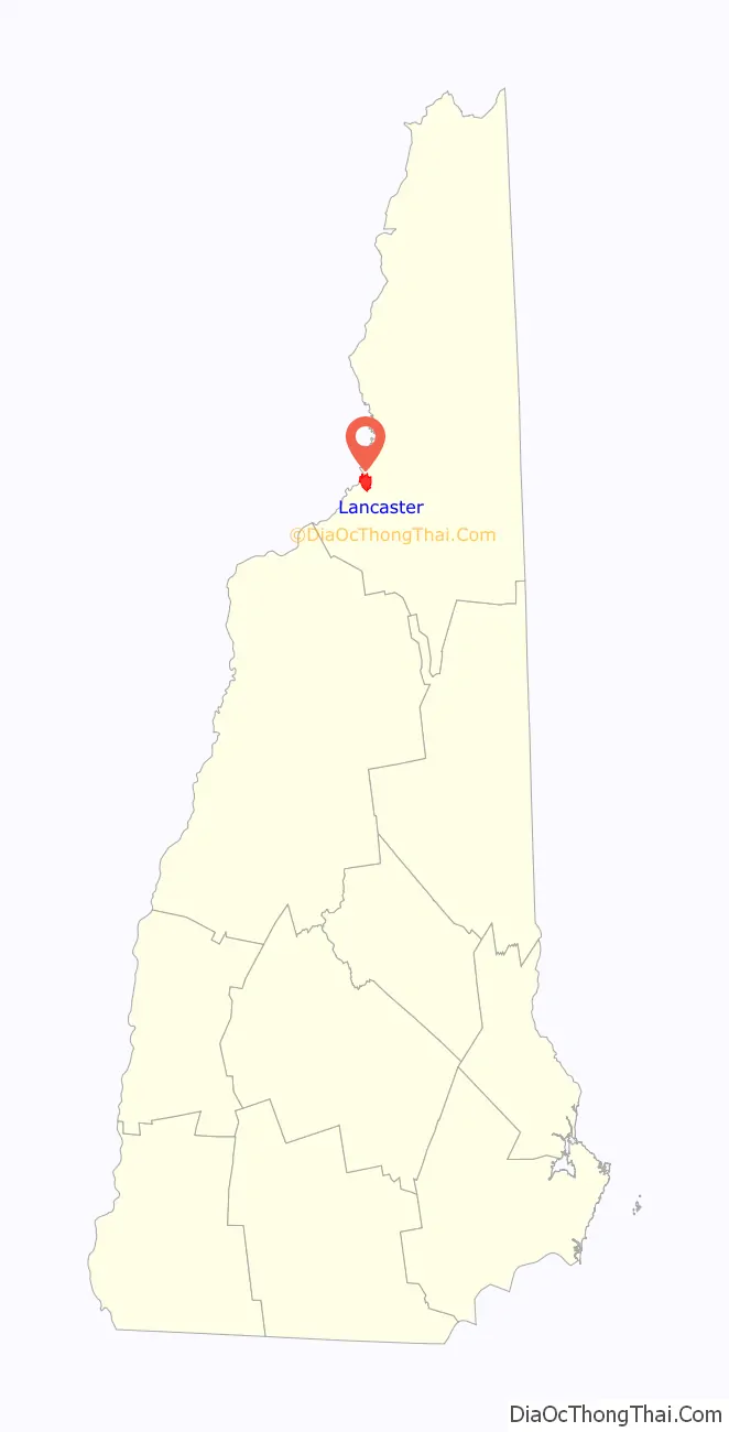
Lancaster location map. Where is Lancaster CDP?
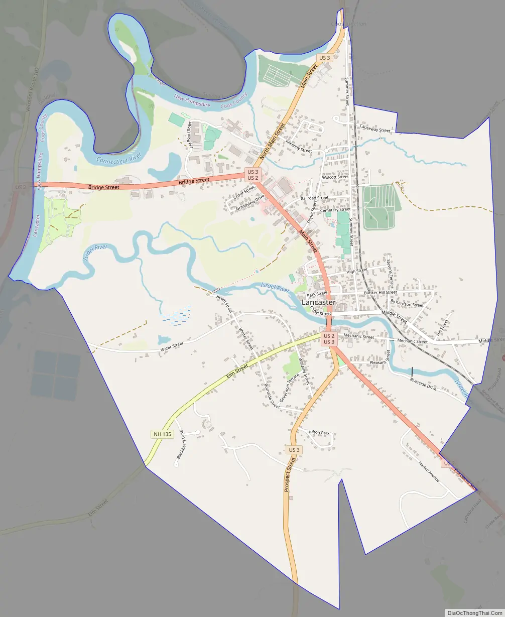
Lancaster Road Map
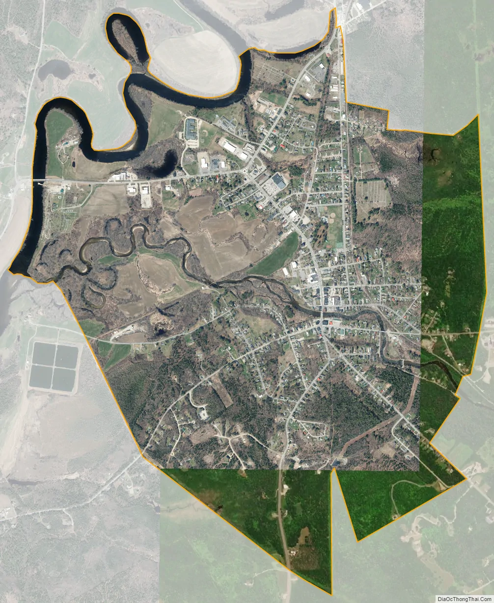
Lancaster city Satellite Map
Geography
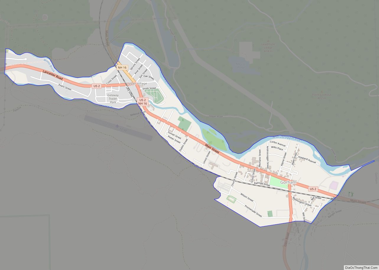
The CDP is in the west-central part of the town of Lancaster, on both sides of the Israel River just east of where it joins the Connecticut River. The CDP is bordered to the northwest by the Connecticut River, which forms the Vermont state line. To the north the CDP extends to Baker Pond and the location known as “Coos Junction”. The CDP extends east to include all of the streets in the densely settled part of town, crossing Middle Street just west of Weeks Medical Center. The CDP includes all of Riverside Drive and Hartco Avenue on the southeast side of the village. To the west the CDP extends out Elm Street beyond Blackberry Lane.
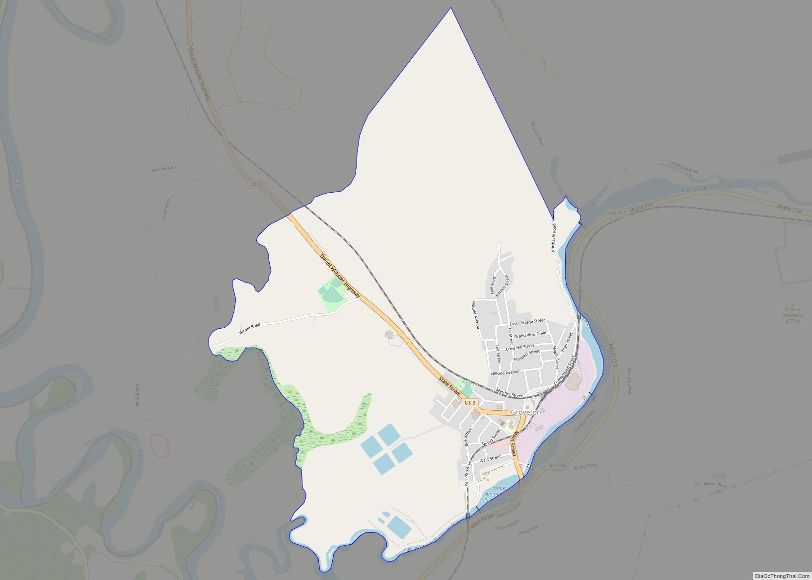
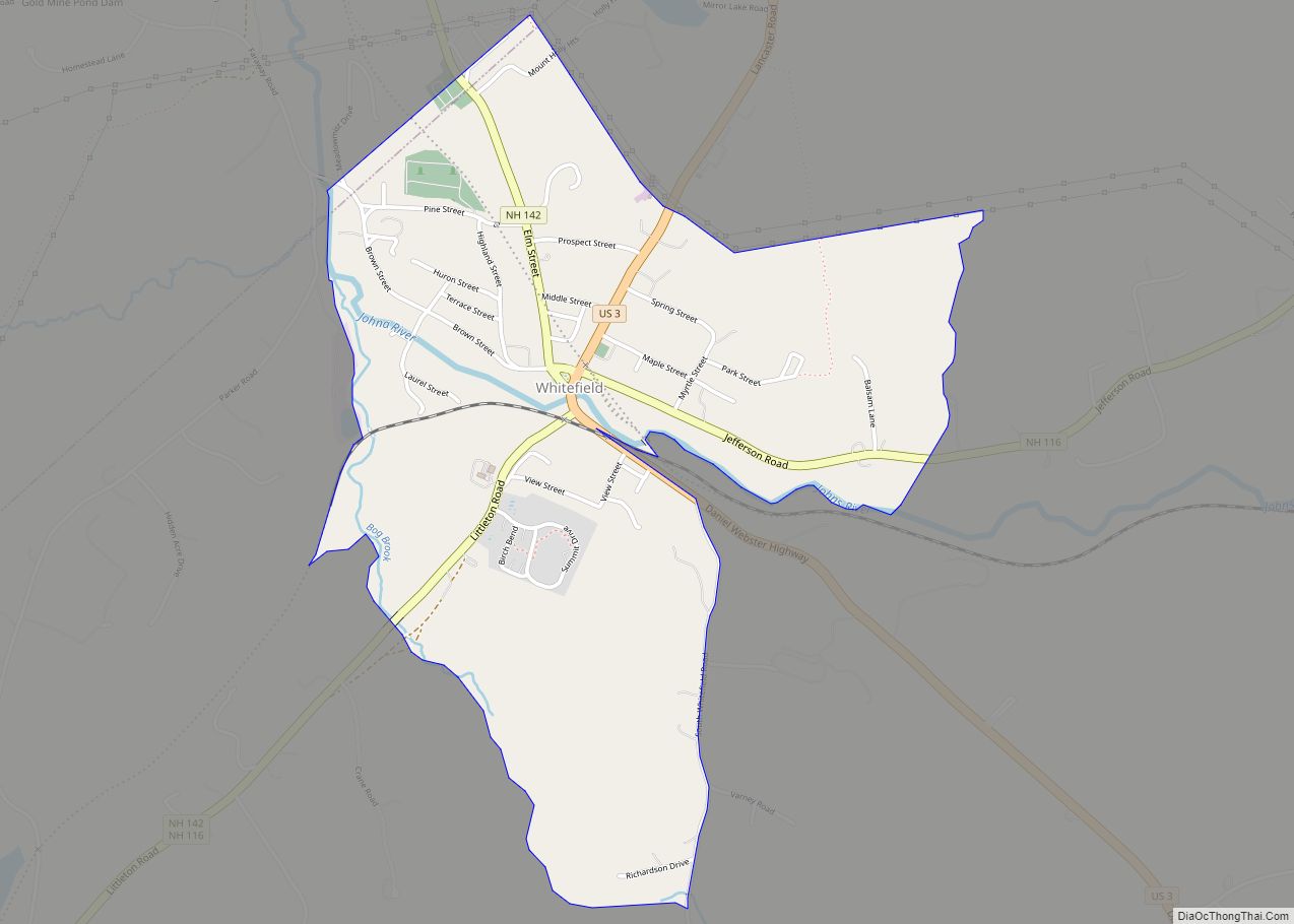
U.S. Routes 2 and 3 run through the center of Lancaster as Main Street, splitting near the north and south ends of the CDP. US 2 leads east 24 miles (39 km) to Gorham and west 28 miles (45 km) to St. Johnsbury, Vermont. US 3 leads north 10 miles (16 km) to Groveton and south 8 miles (13 km) to Whitefield. New Hampshire Route 135 (Elm Street) leads southwest from Lancaster 19 miles (31 km) to the outskirts of Littleton.
According to the U.S. Census Bureau, the Lancaster CDP has a total area of 3.2 square miles (8.2 km), of which 3.0 square miles (7.7 km) are land and 0.2 square miles (0.5 km), or 6.08%, are water.
See also
Map of New Hampshire State and its subdivision: Map of other states:- Alabama
- Alaska
- Arizona
- Arkansas
- California
- Colorado
- Connecticut
- Delaware
- District of Columbia
- Florida
- Georgia
- Hawaii
- Idaho
- Illinois
- Indiana
- Iowa
- Kansas
- Kentucky
- Louisiana
- Maine
- Maryland
- Massachusetts
- Michigan
- Minnesota
- Mississippi
- Missouri
- Montana
- Nebraska
- Nevada
- New Hampshire
- New Jersey
- New Mexico
- New York
- North Carolina
- North Dakota
- Ohio
- Oklahoma
- Oregon
- Pennsylvania
- Rhode Island
- South Carolina
- South Dakota
- Tennessee
- Texas
- Utah
- Vermont
- Virginia
- Washington
- West Virginia
- Wisconsin
- Wyoming