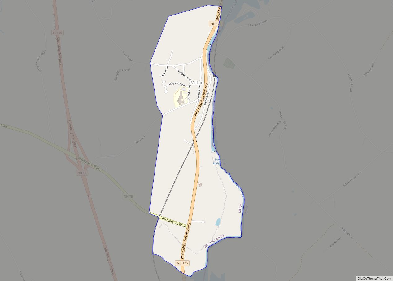
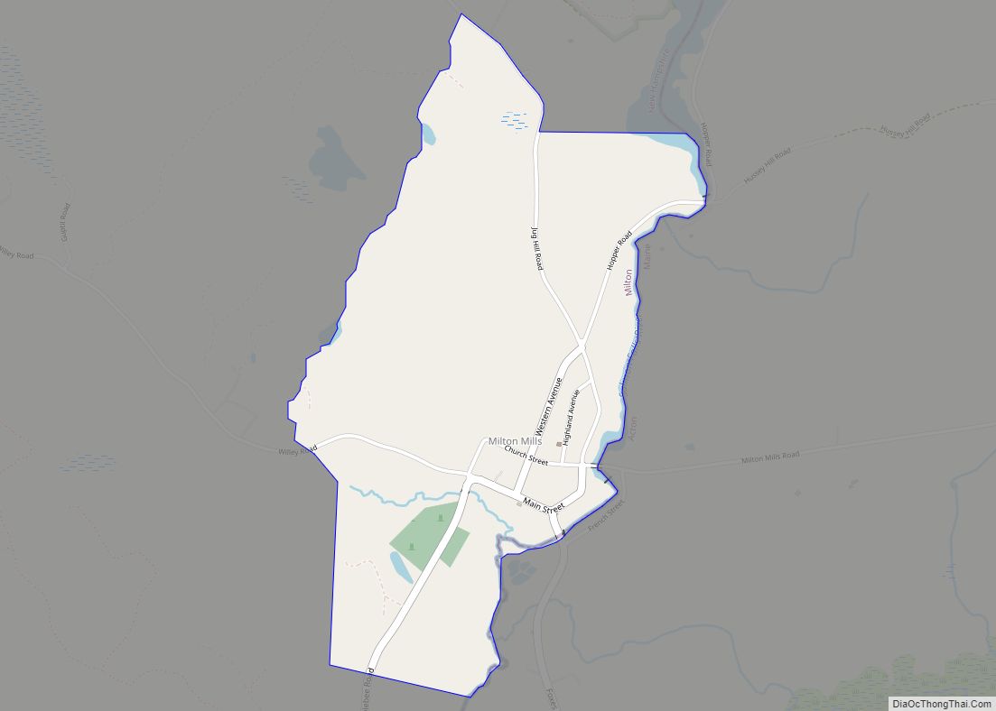
Milton Mills is a small village and census-designated place in the town of Milton, Strafford County, New Hampshire, United States. It had a population of 313 at the 2020 census. Milton Mills has a separate ZIP code (03852) from the rest of the town of Milton.
| Name: | Milton Mills CDP |
|---|---|
| LSAD Code: | 57 |
| LSAD Description: | CDP (suffix) |
| State: | New Hampshire |
| County: | Strafford County |
| Elevation: | 462 ft (141 m) |
| Total Area: | 0.87 sq mi (2.25 km²) |
| Land Area: | 0.86 sq mi (2.23 km²) |
| Water Area: | 0.01 sq mi (0.02 km²) |
| Total Population: | 313 |
| Population Density: | 363.11/sq mi (140.25/km²) |
| ZIP code: | 03852 |
| Area code: | 603 |
| FIPS code: | 3348740 |
| GNISfeature ID: | 0868472 |
Online Interactive Map
Click on ![]() to view map in "full screen" mode.
to view map in "full screen" mode.
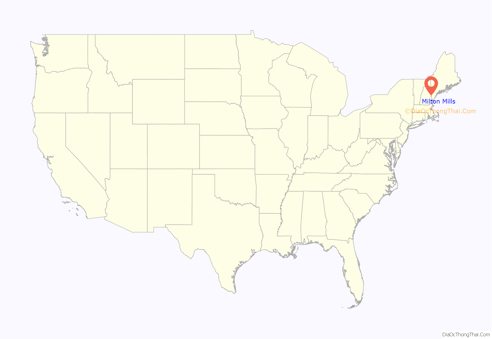
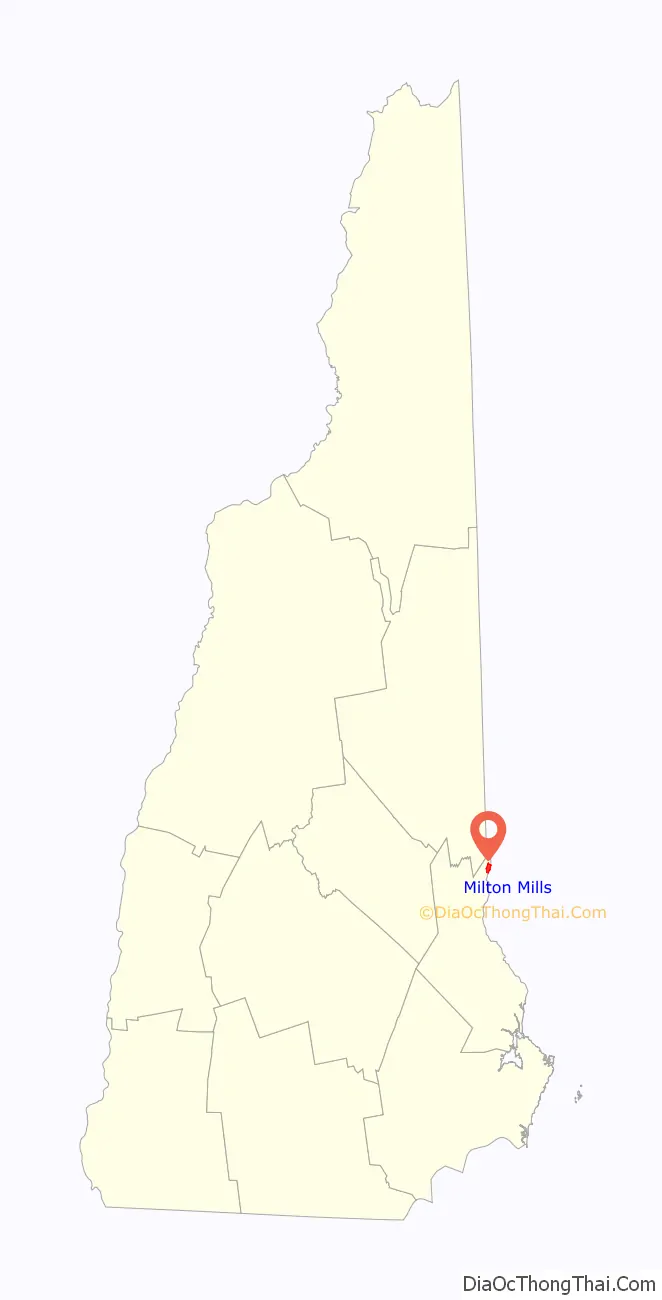
Milton Mills location map. Where is Milton Mills CDP?
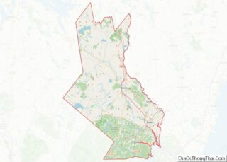
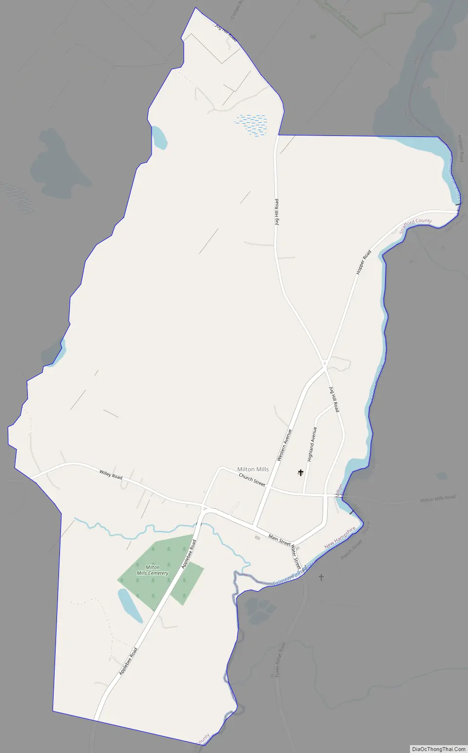
Milton Mills Road Map
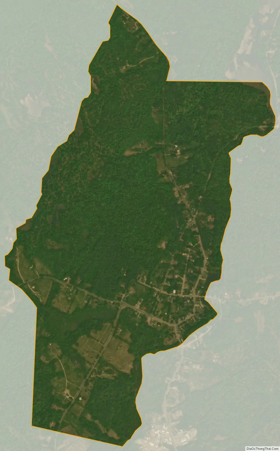
Milton Mills city Satellite Map
Geography
The village is located in the northern part of the town of Milton, adjacent to the Salmon Falls River, which forms the border between New Hampshire and Maine. Applebee Road leads southwest to New Hampshire Route 125 and the center of Milton, Willey Road leads northwest to Wakefield, Milton Mills Road leads east to Maine State Route 109 in Acton, Maine, and Foxes Ridge Road leads southeast to Lebanon, Maine, and U.S. Route 202.
According to the U.S. Census Bureau, the Milton Mills CDP has a total area of 0.8 square miles (2.2 km), of which 0.01 square miles (0.02 km), or 0.76%, are water. Via the Salmon Falls River, the community is part of the Piscataqua River watershed.
See also
Map of New Hampshire State and its subdivision: Map of other states:- Alabama
- Alaska
- Arizona
- Arkansas
- California
- Colorado
- Connecticut
- Delaware
- District of Columbia
- Florida
- Georgia
- Hawaii
- Idaho
- Illinois
- Indiana
- Iowa
- Kansas
- Kentucky
- Louisiana
- Maine
- Maryland
- Massachusetts
- Michigan
- Minnesota
- Mississippi
- Missouri
- Montana
- Nebraska
- Nevada
- New Hampshire
- New Jersey
- New Mexico
- New York
- North Carolina
- North Dakota
- Ohio
- Oklahoma
- Oregon
- Pennsylvania
- Rhode Island
- South Carolina
- South Dakota
- Tennessee
- Texas
- Utah
- Vermont
- Virginia
- Washington
- West Virginia
- Wisconsin
- Wyoming