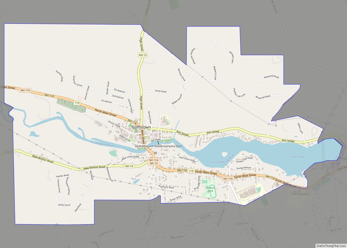
Pinardville is a census-designated place (CDP) in the town of Goffstown, Hillsborough County, New Hampshire, United States. It is a suburban neighborhood adjacent to the city of Manchester. The population was 5,034 at the 2020 census. Pinardville has existed since 1906.
| Name: | Pinardville CDP |
|---|---|
| LSAD Code: | 57 |
| LSAD Description: | CDP (suffix) |
| State: | New Hampshire |
| County: | Hillsborough County |
| Elevation: | 266 ft (81 m) |
| Total Area: | 1.82 sq mi (4.70 km²) |
| Land Area: | 1.66 sq mi (4.31 km²) |
| Water Area: | 0.15 sq mi (0.39 km²) |
| Total Population: | 5,034 |
| Population Density: | 3,025.24/sq mi (1,168.06/km²) |
| Area code: | 603 |
| FIPS code: | 3361220 |
| GNISfeature ID: | 0869156 |
Online Interactive Map
Click on ![]() to view map in "full screen" mode.
to view map in "full screen" mode.
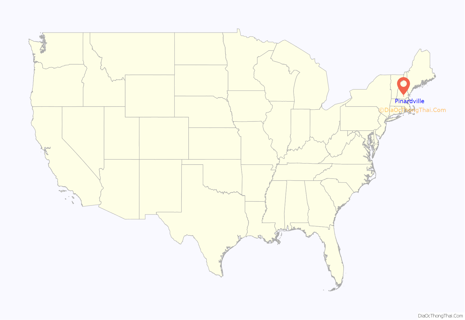
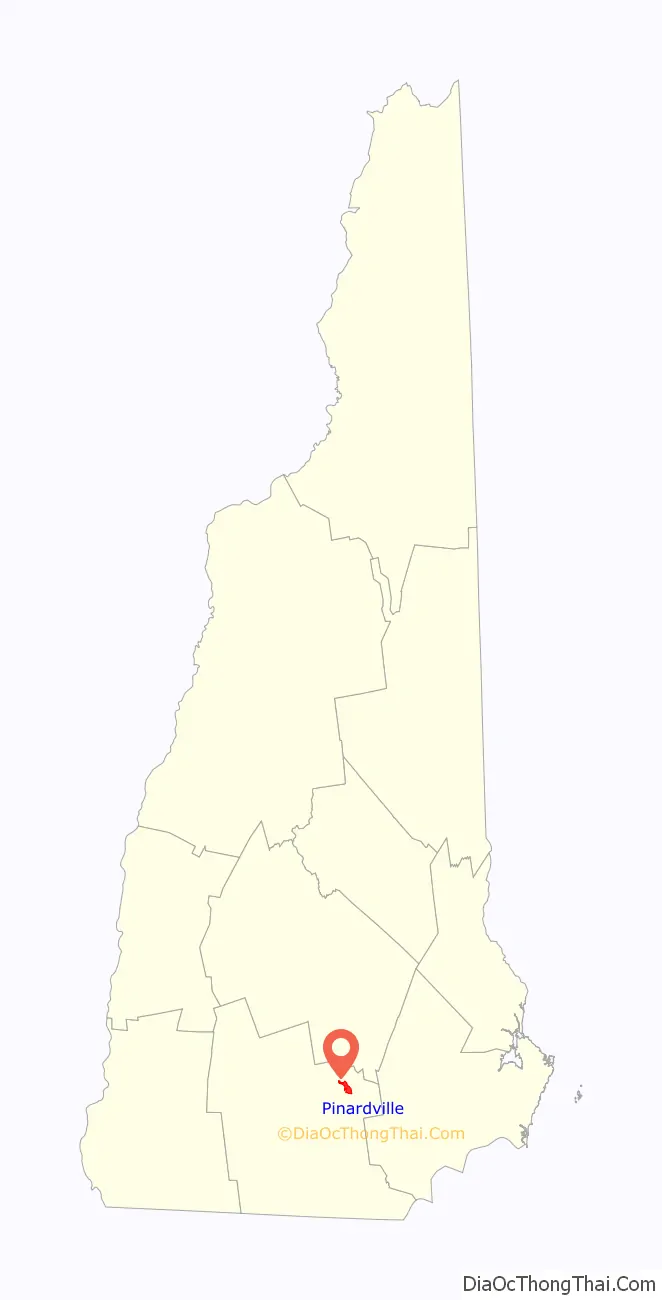
Pinardville location map. Where is Pinardville CDP?
History
In 1906, Edmond Pinard, a grocer by trade, developed real-estate holdings on the Manchester/Goffstown town line. Pinard was a French Canadian man who brought many French Canadians to the area. The area was known at the time as “Pinards Ville”. It has grown substantially since then, but many of the original families still live in the area.
Pinardville Road Map
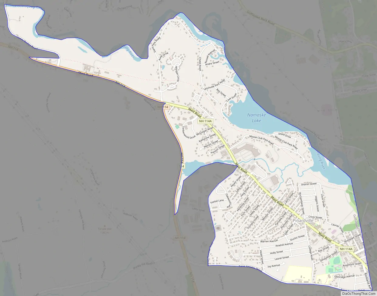
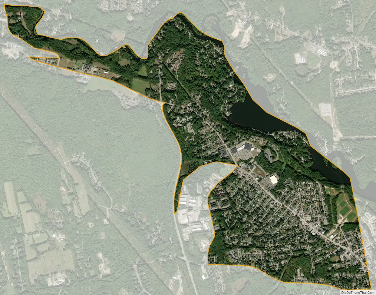
Pinardville city Satellite Map
Geography
Pinardville is located in the southeastern part of Goffstown at 42°59′47″N 71°30′30″W / 42.99639°N 71.50833°W / 42.99639; -71.50833 (42.996283, -71.508452). It is bordered to the east by the Manchester city line and to the north by the Piscataquog River. The campus of St. Anselm College is just outside the CDP, south of Saint Anselm Drive. The CDP extends west to the New Hampshire Route 114 bypass and then out South Mast Road as far as Henry Bridge Road.
Route 114 leads west out Mast Road 4 miles (6 km) to Goffstown village and southeast 3.5 miles (5.6 km) to New Hampshire Route 101 in Bedford. New Hampshire Route 114A follows Mast Road through the center of Pinardville and leads southeast 2 miles (3 km) to South Main Street in the West Side of Manchester.
According to the United States Census Bureau, the Pinardville CDP has a total area of 1.8 square miles (4.7 km), of which 1.7 square miles (4.3 km) are land and 0.2 square miles (0.4 km), or 8.39%, are water.
See also
Map of New Hampshire State and its subdivision: Map of other states:- Alabama
- Alaska
- Arizona
- Arkansas
- California
- Colorado
- Connecticut
- Delaware
- District of Columbia
- Florida
- Georgia
- Hawaii
- Idaho
- Illinois
- Indiana
- Iowa
- Kansas
- Kentucky
- Louisiana
- Maine
- Maryland
- Massachusetts
- Michigan
- Minnesota
- Mississippi
- Missouri
- Montana
- Nebraska
- Nevada
- New Hampshire
- New Jersey
- New Mexico
- New York
- North Carolina
- North Dakota
- Ohio
- Oklahoma
- Oregon
- Pennsylvania
- Rhode Island
- South Carolina
- South Dakota
- Tennessee
- Texas
- Utah
- Vermont
- Virginia
- Washington
- West Virginia
- Wisconsin
- Wyoming